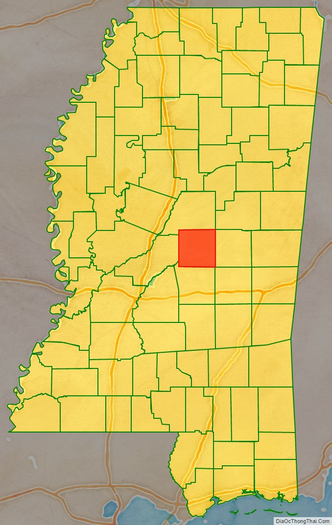
Leake County is a county located in the center of the U.S. state of Mississippi. As of the 2020 census, the population was 21,275. Its county seat is Carthage. The county is named for Walter Leake, the Governor of Mississippi from 1822 to 1825.
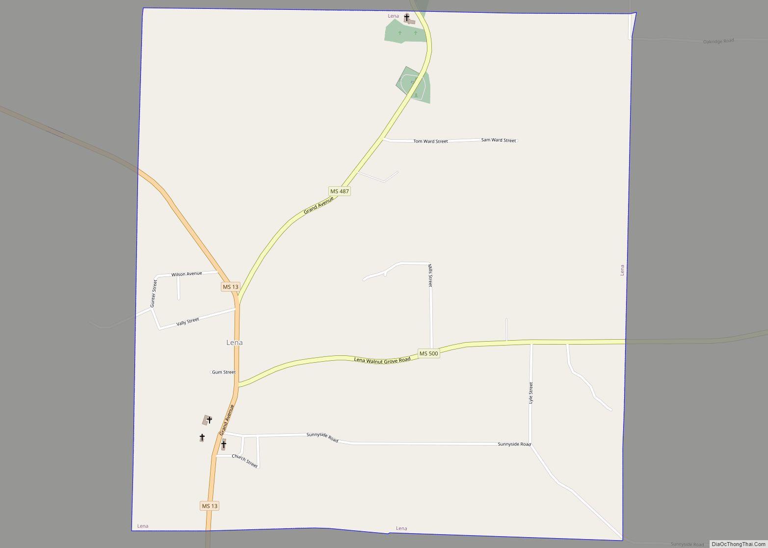
In 2010, the center of population of Mississippi was located in Leake County, near the town of Lena.
| Name: | Leake County |
|---|---|
| FIPS code: | 28-079 |
| State: | Mississippi |
| Founded: | 1833 |
| Named for: | Walter Leake |
| Seat: | Carthage |
| Largest city: | Carthage |
| Total Area: | 585 sq mi (1,520 km²) |
| Land Area: | 583 sq mi (1,510 km²) |
| Total Population: | 21,275 |
| Population Density: | 36/sq mi (14/km²) |
| Time zone: | UTC−6 (Central) |
| Summer Time Zone (DST): | UTC−5 (CDT) |
| Website: | www.leakecountyms.org |
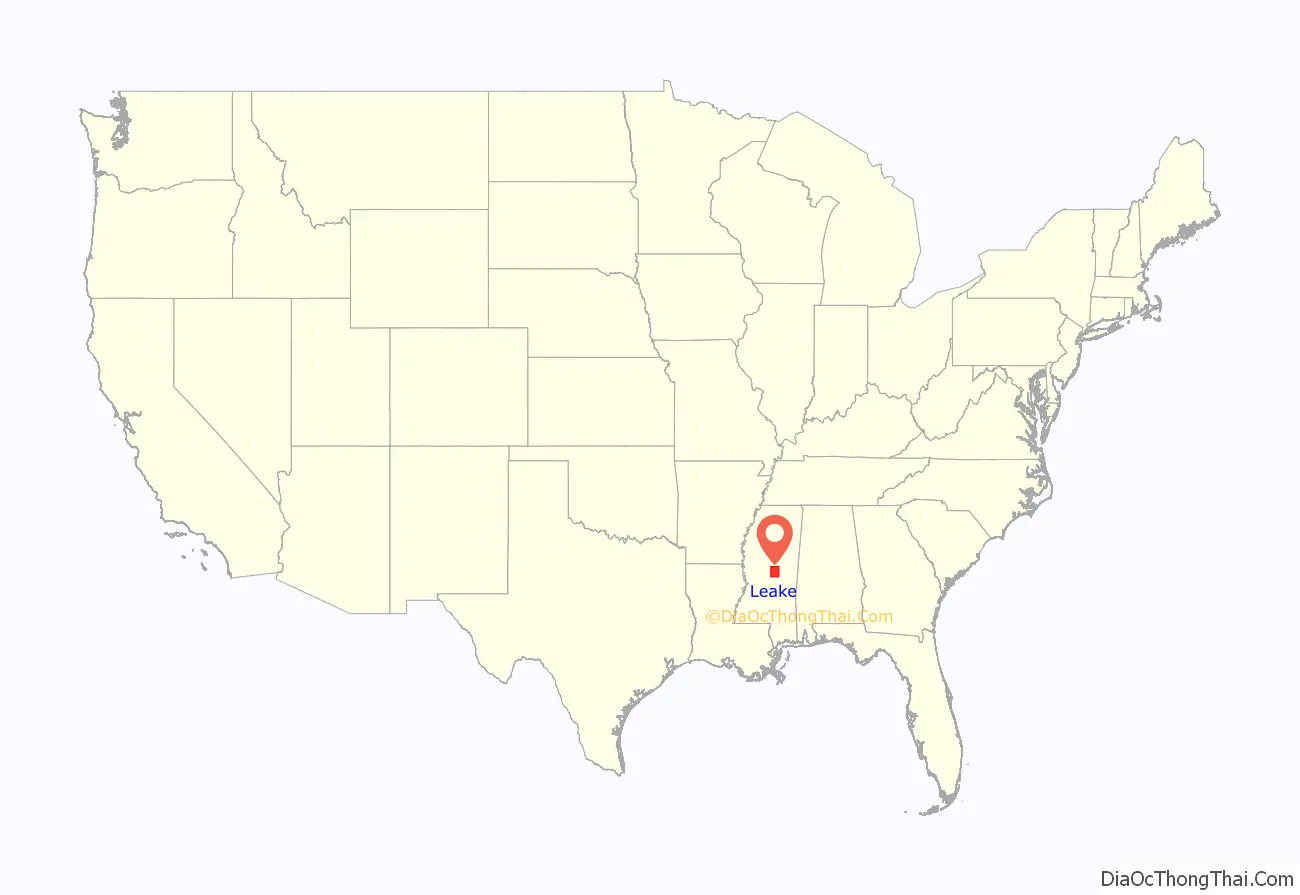
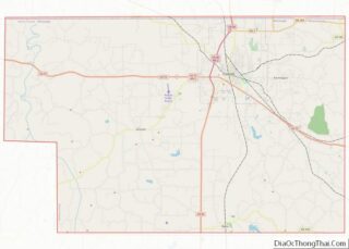
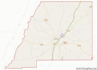
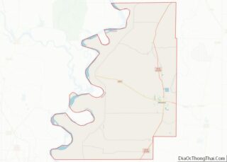
Leake County location map. Where is Leake County?
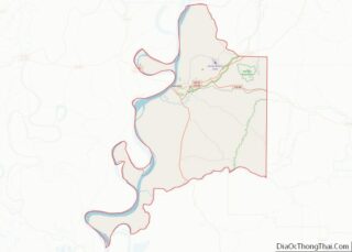
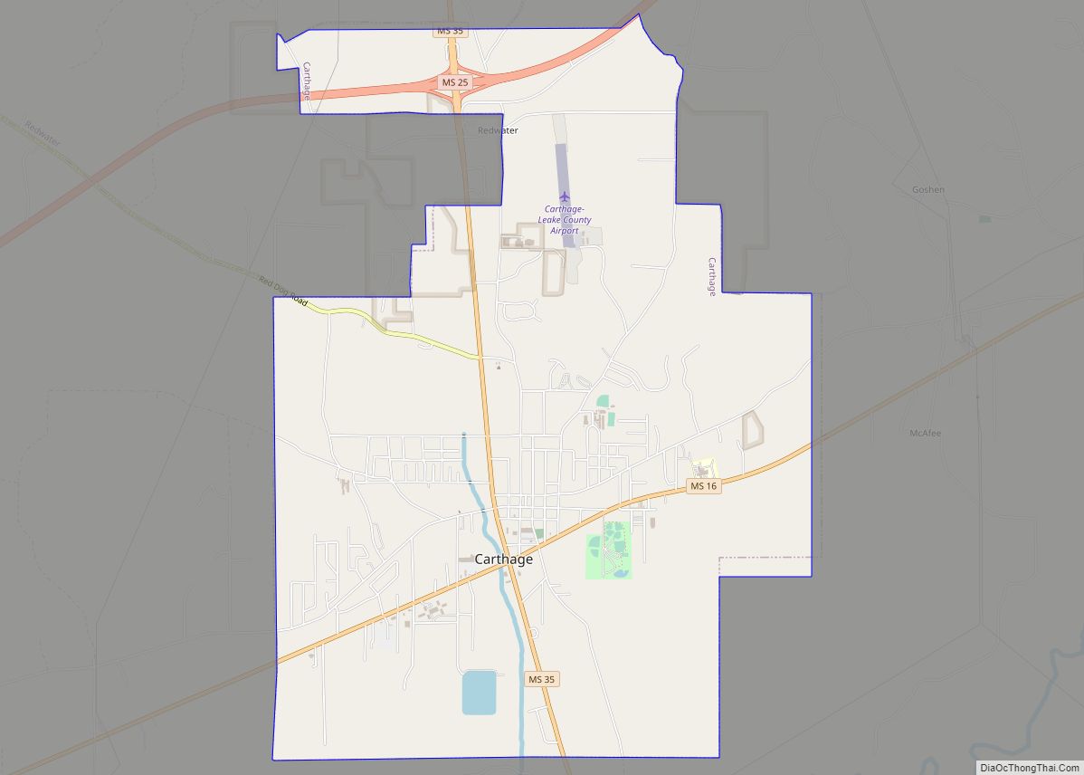
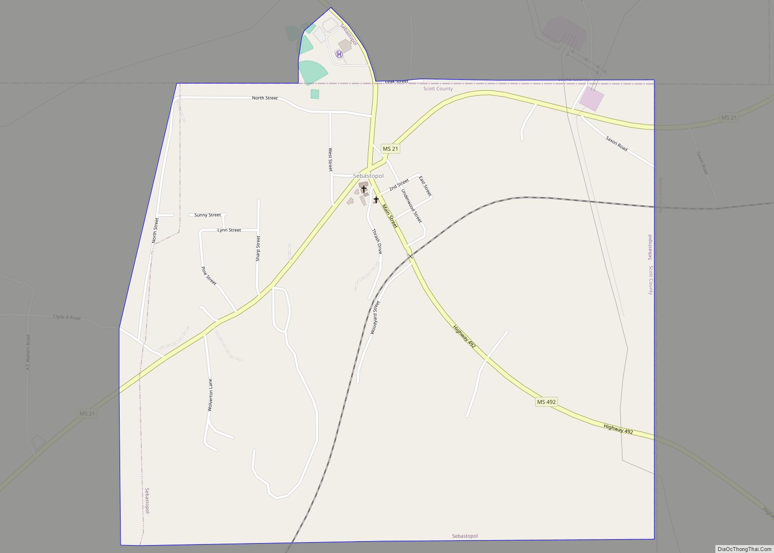
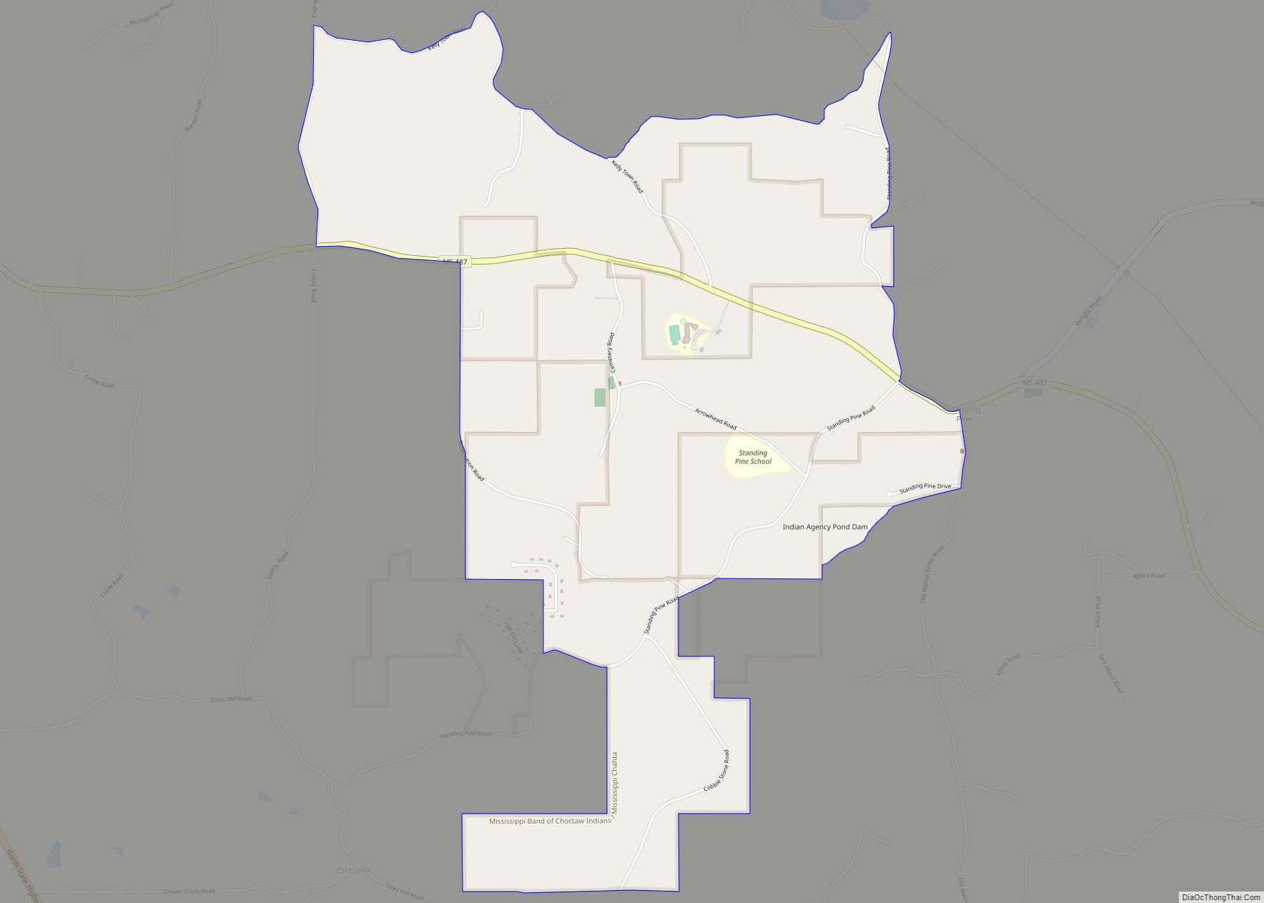
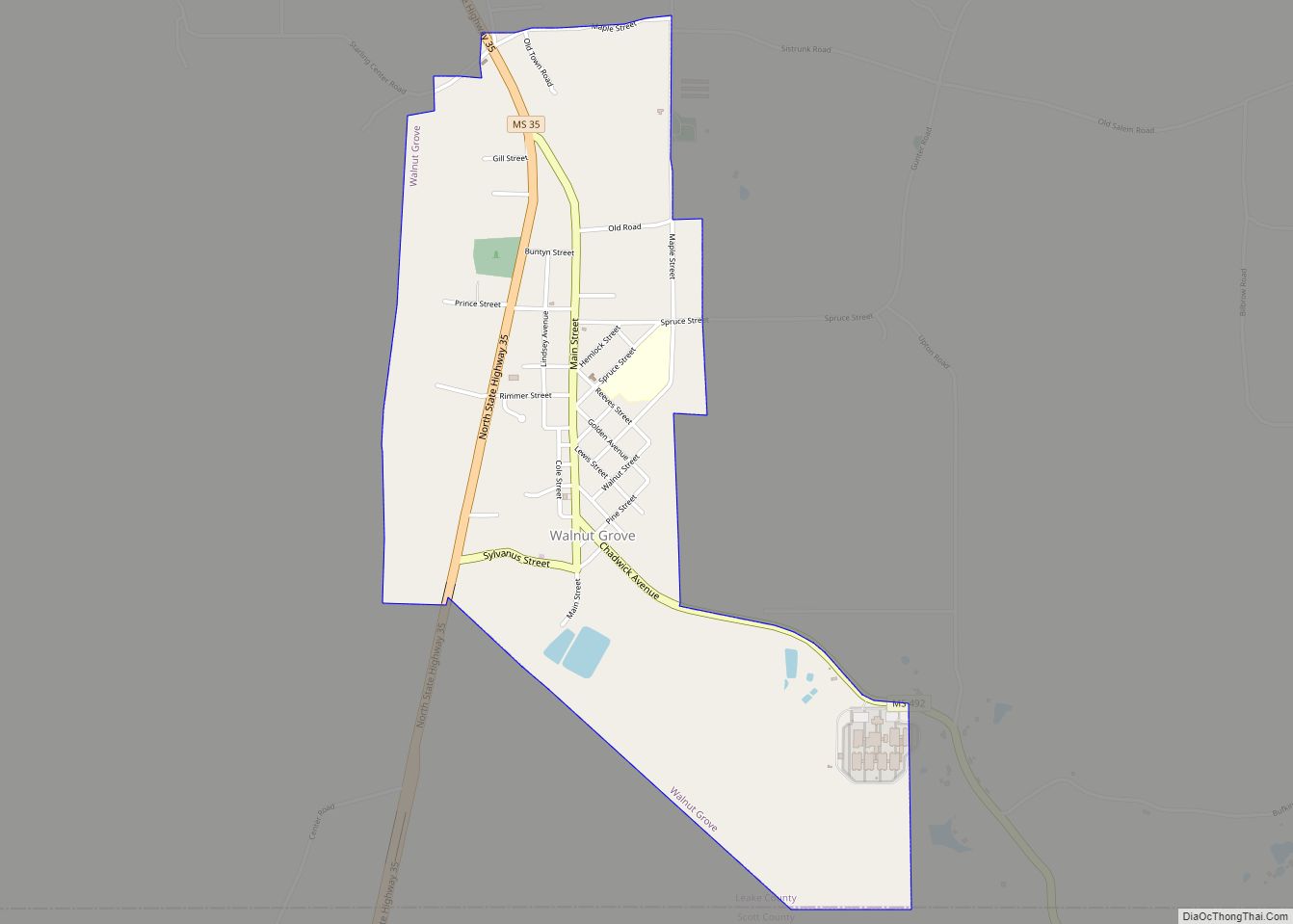
Leake County Road Map
Geography
According to the U.S. Census Bureau, the county has a total area of 585 square miles (1,520 km), of which 583 square miles (1,510 km) is land and 2.5 square miles (6.5 km) (0.4%) is water.
Major highways
- Mississippi Highway 13
- Mississippi Highway 16
- Mississippi Highway 25
- Mississippi Highway 35
- Mississippi Highway 43
- Natchez Trace Parkway
Adjacent counties
- Attala County (north)
- Neshoba County (east)
- Scott County (south)
- Madison County (west)
National protected area
- Natchez Trace Parkway (part)
