Carthage is a city in Leake County, Mississippi, United States. The population was 5,075 at the 2010 census. It is the county seat of Leake County.
Carthage is home to the Carthage Historic District including the Leake County Courthouse, a Mississippi Landmark. The largest chicken processing plant in the world is located in Carthage.
| Name: | Carthage city |
|---|---|
| LSAD Code: | 25 |
| LSAD Description: | city (suffix) |
| State: | Mississippi |
| County: | Leake County |
| Elevation: | 351 ft (107 m) |
| Total Area: | 9.34 sq mi (24.19 km²) |
| Land Area: | 9.29 sq mi (24.07 km²) |
| Water Area: | 0.05 sq mi (0.12 km²) |
| Total Population: | 4,901 |
| Population Density: | 527.39/sq mi (203.63/km²) |
| ZIP code: | 39051 |
| Area code: | 601 |
| FIPS code: | 2811780 |
| GNISfeature ID: | 0668123 |
| Website: | www.cityofcarthage.org |
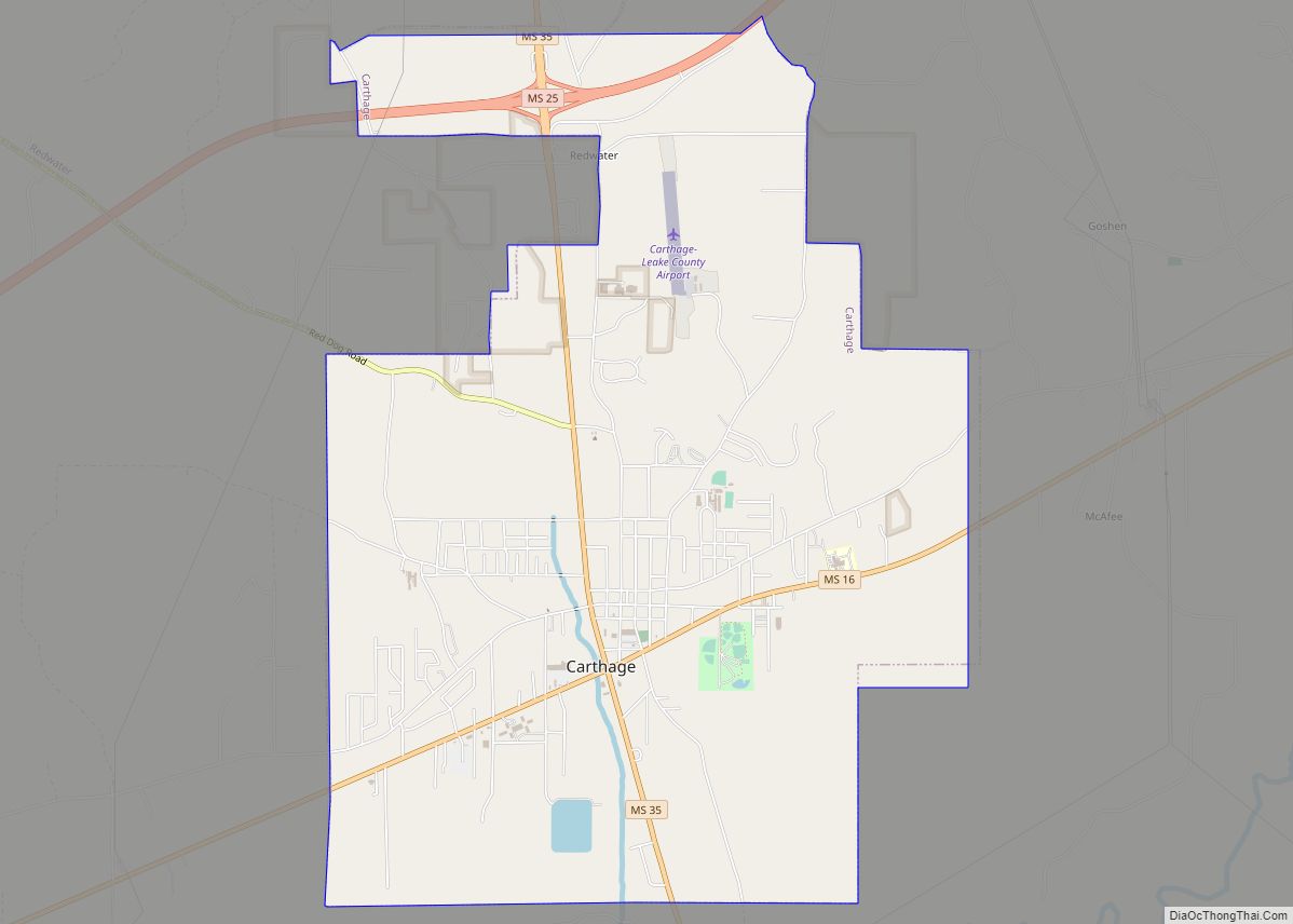
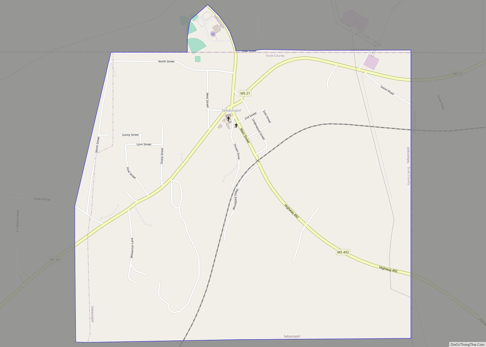
Online Interactive Map
Click on ![]() to view map in "full screen" mode.
to view map in "full screen" mode.
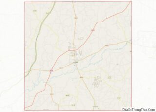
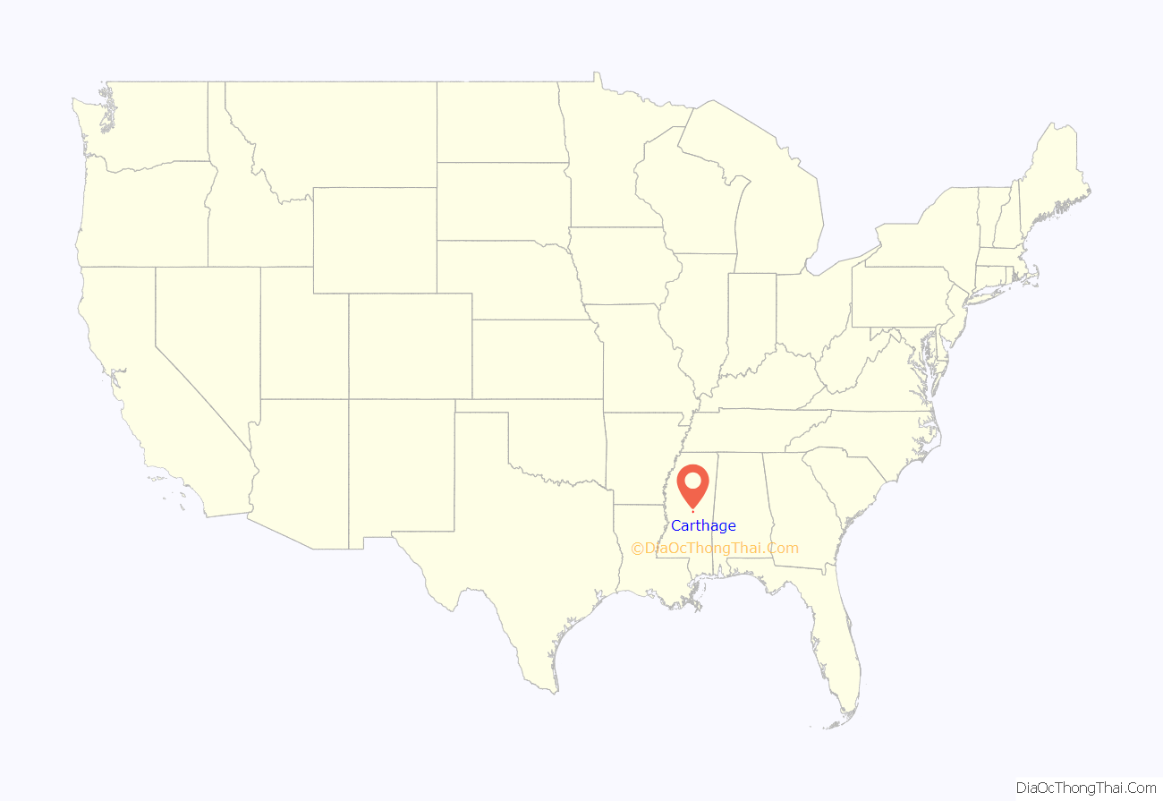
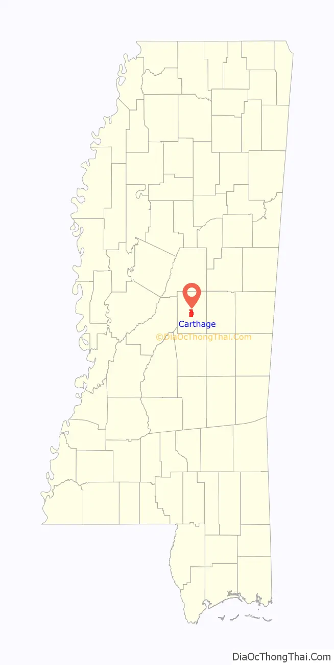
Carthage location map. Where is Carthage city?
History
Carthage was established in 1834, and became the county seat. The Harris family were early settlers, and named the town after their former home of Carthage, Tennessee. A courthouse and jail were built in 1836, and a post office was established the following year. Carthage was incorporated in 1876. A brick courthouse replaced the previous one in 1877, and was replaced again in 1910. The present courthouse was designed by E. L. Malvaney and completed in 1939. The Carthaginian newspaper was established in 1872, and remains in publication today.
By 1900, agriculture was the primary industry in Leake County. The Pearl River, located 2 mi (3.2 km) south of Carthage, was used to ship goods by steamboat to and from Jackson, the state capital . Although a railroad eventually ran through Carthage, it did not play a significant role in the development of the town. In 1914, the Merrill Brothers Logging Company built a logging railroad from Canton to McAfee, passing through Carthage. The line was taken over in 1927 by the Canton and Carthage Railroad, which then established commercial service to Carthage. The railroad was abandoned in 1960.
In 1927, Jackson’s Daily Clarion Ledger wrote an article entitled “Carthage is a Good Progressive and Enterprising City – Thriving Center of Leake County Holds Modern Benefits”. By then, Carthage had schools, churches, an ice plant, two banks, a Masonic Hall, and a Coca-Cola bottling plant.
The population had surpassed 2,000 by 1964, and the town was reclassified as a city.
Carthage Historic District includes the county courthouse, commercial and residential properties of various architectural styles and is listed on the National Register of Historic Places. The Carthage Post Office and Jordan House are individually listed.
When Carthage, Texas established in 1848, it was named after Carthage, Mississippi.
Civil Rights Era
As early as 1948, Carthage began holding an annual “Tri-Racial Goodwill Festival”, in which all citizens were included. Although the directors of the first festival separated whites, African Americans and Native Americans, this was corrected in subsequent years. The local newspaper reported that at the 1949 festival, “friendship and goodwill fellowship permeated the air”.
In 1964, a group known as Americans for the Preservation of the White Race initiated a boycott in Carthage against white-owned businesses that were complying with the Civil Rights Act. When members of the Student Nonviolent Coordinating Committee tried to open a Freedom School in Carthage, local whites told them their deed was invalid, and threatened to burn the school. In 1967, shots were fired into the home of an NAACP worker in Carthage.
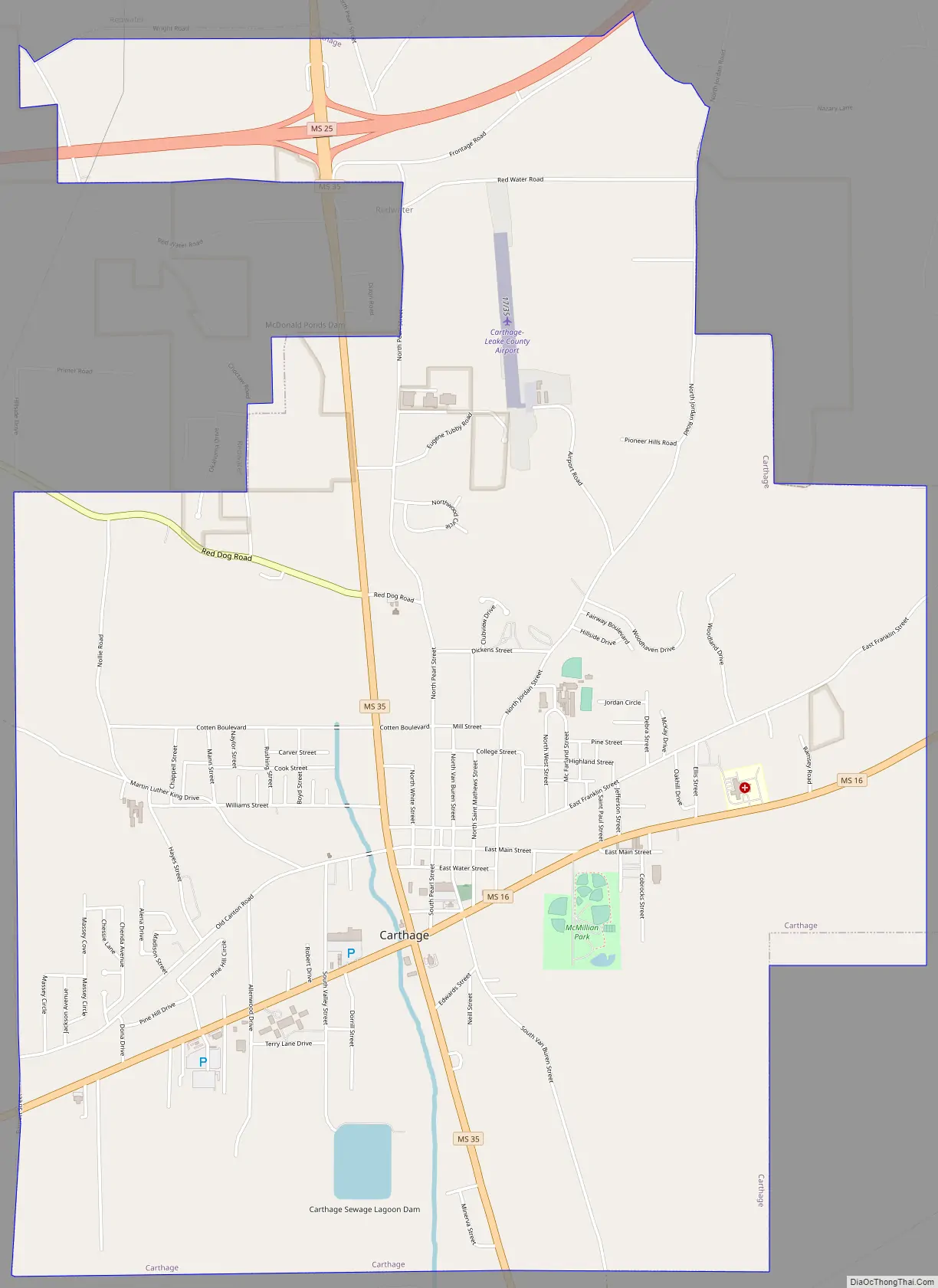
Carthage Road Map
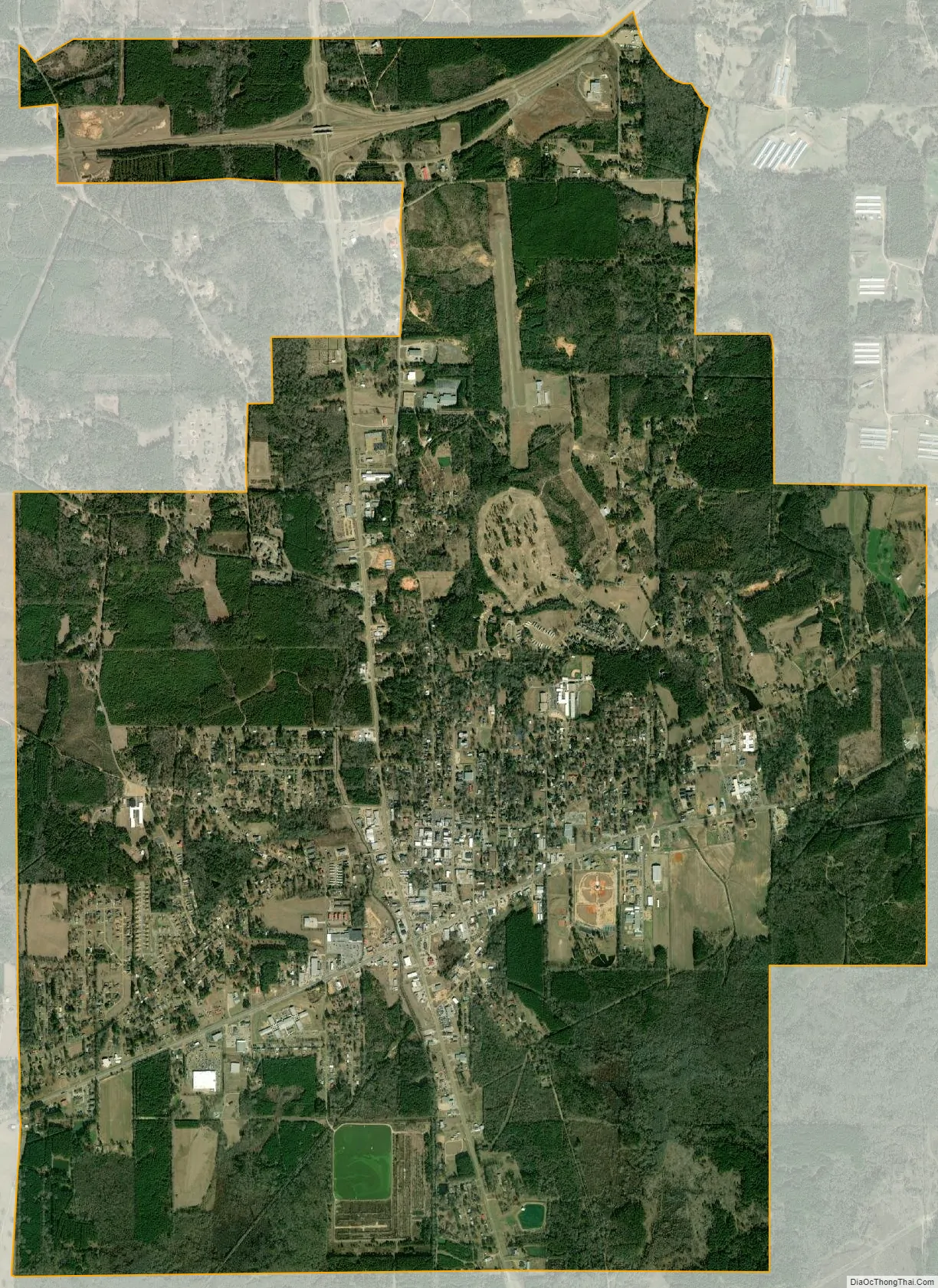
Carthage city Satellite Map
Geography
According to the United States Census Bureau, the city has a total area of 9.4 square miles (24 km), of which 9.4 square miles (24 km) is land and 0.1 square miles (0.26 km) (0.53%) is water.
The geographic center of Mississippi is located 9 mi (14 km) west-northwest of Carthage.
Climate
See also
Map of Mississippi State and its subdivision:- Adams
- Alcorn
- Amite
- Attala
- Benton
- Bolivar
- Calhoun
- Carroll
- Chickasaw
- Choctaw
- Claiborne
- Clarke
- Clay
- Coahoma
- Copiah
- Covington
- Desoto
- Forrest
- Franklin
- George
- Greene
- Grenada
- Hancock
- Harrison
- Hinds
- Holmes
- Humphreys
- Issaquena
- Itawamba
- Jackson
- Jasper
- Jefferson
- Jefferson Davis
- Jones
- Kemper
- Lafayette
- Lamar
- Lauderdale
- Lawrence
- Leake
- Lee
- Leflore
- Lincoln
- Lowndes
- Madison
- Marion
- Marshall
- Monroe
- Montgomery
- Neshoba
- Newton
- Noxubee
- Oktibbeha
- Panola
- Pearl River
- Perry
- Pike
- Pontotoc
- Prentiss
- Quitman
- Rankin
- Scott
- Sharkey
- Simpson
- Smith
- Stone
- Sunflower
- Tallahatchie
- Tate
- Tippah
- Tishomingo
- Tunica
- Union
- Walthall
- Warren
- Washington
- Wayne
- Webster
- Wilkinson
- Winston
- Yalobusha
- Yazoo
- Alabama
- Alaska
- Arizona
- Arkansas
- California
- Colorado
- Connecticut
- Delaware
- District of Columbia
- Florida
- Georgia
- Hawaii
- Idaho
- Illinois
- Indiana
- Iowa
- Kansas
- Kentucky
- Louisiana
- Maine
- Maryland
- Massachusetts
- Michigan
- Minnesota
- Mississippi
- Missouri
- Montana
- Nebraska
- Nevada
- New Hampshire
- New Jersey
- New Mexico
- New York
- North Carolina
- North Dakota
- Ohio
- Oklahoma
- Oregon
- Pennsylvania
- Rhode Island
- South Carolina
- South Dakota
- Tennessee
- Texas
- Utah
- Vermont
- Virginia
- Washington
- West Virginia
- Wisconsin
- Wyoming