Sebastopol is a town in Leake and Scott counties, Mississippi. The population was 266 at the 2020 census.
| Name: | Sebastopol town |
|---|---|
| LSAD Code: | 43 |
| LSAD Description: | town (suffix) |
| State: | Mississippi |
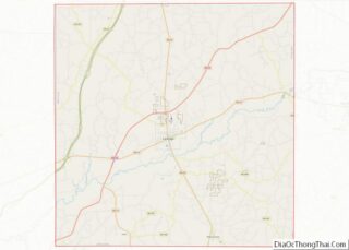
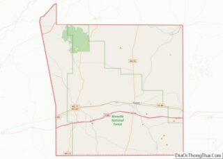
| County: | Leake County, Scott County |
| Elevation: | 420 ft (128 m) |
| Total Area: | 1.57 sq mi (4.06 km²) |
| Land Area: | 1.57 sq mi (4.06 km²) |
| Water Area: | 0.00 sq mi (0.00 km²) |
| Total Population: | 266 |
| Population Density: | 169.75/sq mi (65.55/km²) |
| ZIP code: | 39359 |
| Area code: | 601 |
| FIPS code: | 2866280 |
| GNISfeature ID: | 0677487 |
Online Interactive Map
Click on ![]() to view map in "full screen" mode.
to view map in "full screen" mode.
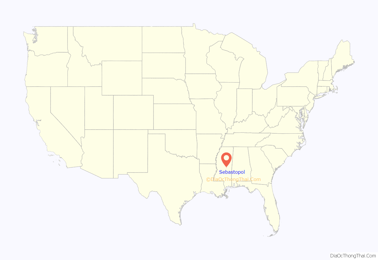
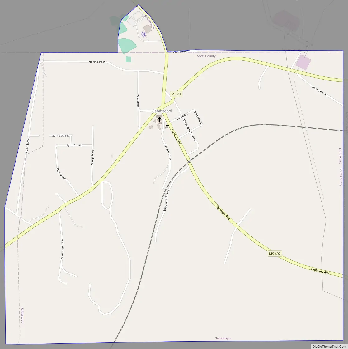
Sebastopol location map. Where is Sebastopol town?

History
Sebastopol was originally called “Hathaway Springs”. The town was in existence before the Civil War but not incorporated until 1917. According to oral tradition, “a Swede” traveling through the area named the town for Sevastopol, Crimea. It is rumored that the “Swede” was Frederick Law Olmsted (of Central Park fame) who stayed at Sebastopol House in Seguin, Texas during his travels throughout the southern United States. From 1852 to 1857, Olmsted was sent to the southern United States by his employer, The New York Times, to study and write about slavery. It was published as Journeys and Explorations in the Cotton Kingdom.
Sebastopol has a few local businesses that keep the town thriving. The town’s main convenience store, “Duett’s”, has been owned and operated by the Duett family for years. The town also has “Brent’s” gas station, which is closed on Sundays and stays open half a day on Wednesdays. The station is commonly referred to as “Brent’s Texaco” although Texaco plays no part in the store’s operation anymore. The town has one grocery store which was once called “Hamill’s”, which was bought out by Piggly Wiggly. Also a large contribution to Sebastopol is “Easom’s Hardware”, operated by the Easom family for many years, who also own Maxim Manufacturing on Hwy 21. Moore’s Pharmacy has been operating since 1990. New businesses have opened, including “Dollar General”, “Burger Barn”, “Taste and See Deli”, “Bethel Framing”, “Tangle’s, “ADD Trucking” and “Adele McDill Photography”.
Each fall season Sebastopol has Sebastopolooza–a fairly large fall festival. In 2010 Sebastopolooza had over a thousand people.
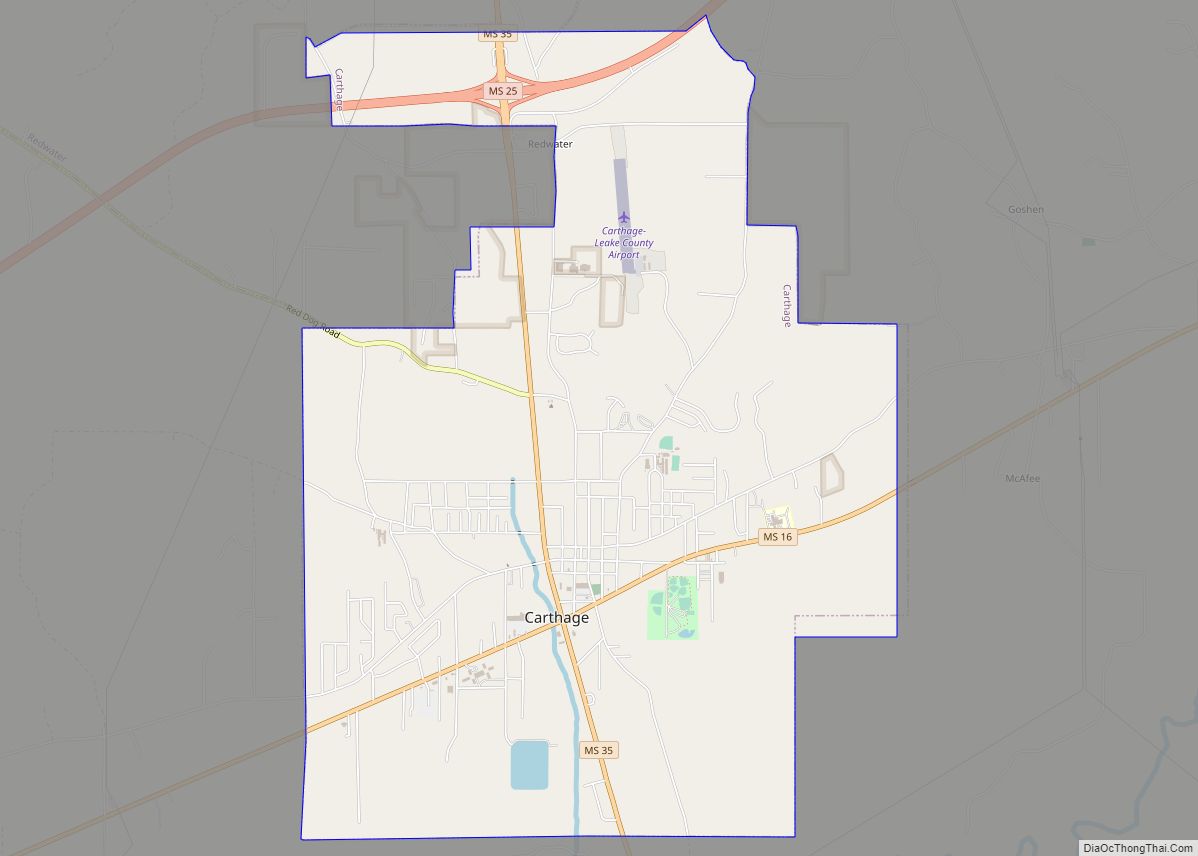
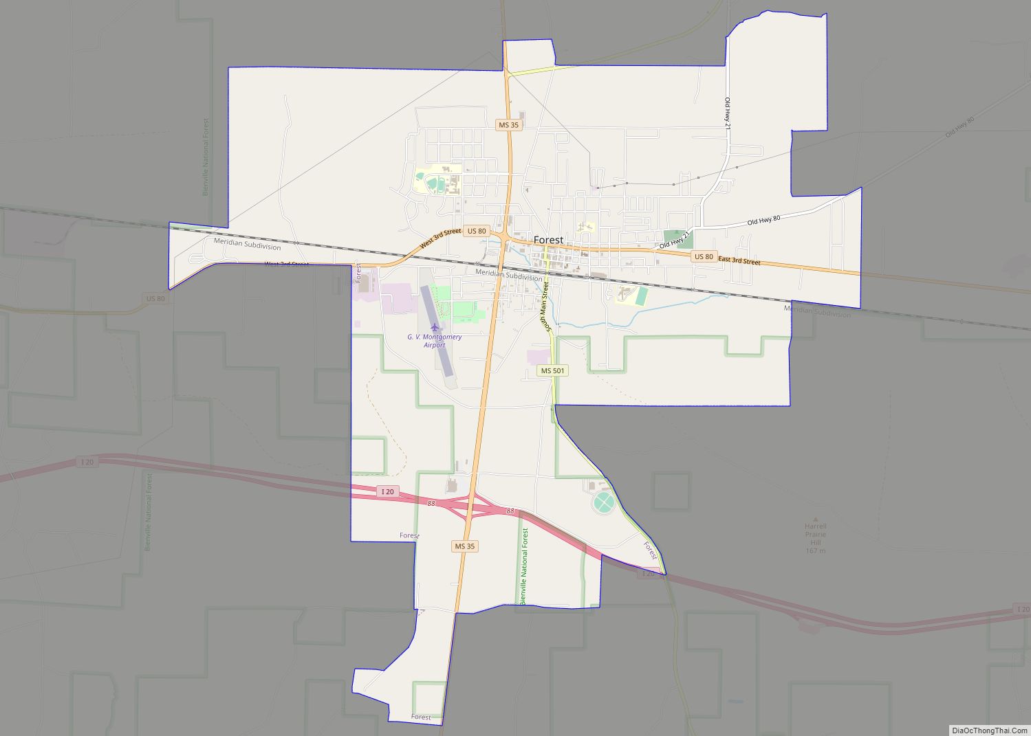
Sebastopol is centrally located between four larger towns, the towns of Forest, Carthage, Union and Philadelphia. Although the town has a local grocery store, most people drive to one of the larger towns to purchase basic household goods. The nearest theatre is a small local operation located in Philadelphia, Mississippi.
The town got access to cable TV in the late 1990s, which has yet to be offered to areas located just outside the city limits. Most local people wishing to have television must subscribe to satellite programming. This makes accessibility to high-speed internet almost impossible. On October 11, 2010, all cable services from Sky Cablevision, the only cable provider for Sebastopol, were disconnected.
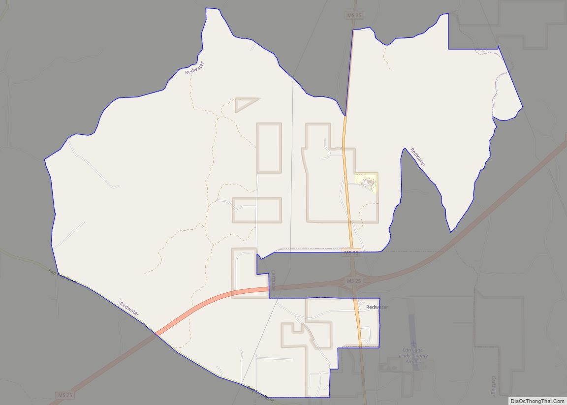
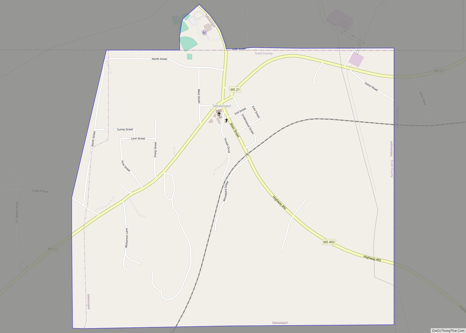
Sebastopol Road Map
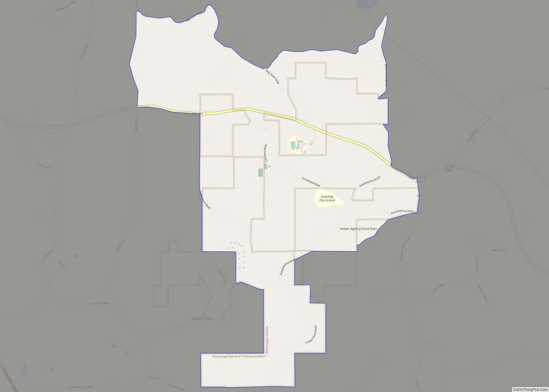
Sebastopol city Satellite Map

Geography
Most of the town is located in Scott County, with a small portion in Leake County. In the 2000 census, all of the city’s 233 residents lived in Scott County. No residents lived in the Leake County portion in 2000, and one person lived there in 2006.
According to the United States Census Bureau, the town has a total area of 1.5 square miles (3.9 km), all land.
See also
Map of Mississippi State and its subdivision:- Adams
- Alcorn
- Amite
- Attala
- Benton
- Bolivar
- Calhoun
- Carroll
- Chickasaw
- Choctaw
- Claiborne
- Clarke
- Clay
- Coahoma
- Copiah
- Covington
- Desoto
- Forrest
- Franklin
- George
- Greene
- Grenada
- Hancock
- Harrison
- Hinds
- Holmes
- Humphreys
- Issaquena
- Itawamba
- Jackson
- Jasper
- Jefferson
- Jefferson Davis
- Jones
- Kemper
- Lafayette
- Lamar
- Lauderdale
- Lawrence
- Leake
- Lee
- Leflore
- Lincoln
- Lowndes
- Madison
- Marion
- Marshall
- Monroe
- Montgomery
- Neshoba
- Newton
- Noxubee
- Oktibbeha
- Panola
- Pearl River
- Perry
- Pike
- Pontotoc
- Prentiss
- Quitman
- Rankin
- Scott
- Sharkey
- Simpson
- Smith
- Stone
- Sunflower
- Tallahatchie
- Tate
- Tippah
- Tishomingo
- Tunica
- Union
- Walthall
- Warren
- Washington
- Wayne
- Webster
- Wilkinson
- Winston
- Yalobusha
- Yazoo
- Alabama
- Alaska
- Arizona
- Arkansas
- California
- Colorado
- Connecticut
- Delaware
- District of Columbia
- Florida
- Georgia
- Hawaii
- Idaho
- Illinois
- Indiana
- Iowa
- Kansas
- Kentucky
- Louisiana
- Maine
- Maryland
- Massachusetts
- Michigan
- Minnesota
- Mississippi
- Missouri
- Montana
- Nebraska
- Nevada
- New Hampshire
- New Jersey
- New Mexico
- New York
- North Carolina
- North Dakota
- Ohio
- Oklahoma
- Oregon
- Pennsylvania
- Rhode Island
- South Carolina
- South Dakota
- Tennessee
- Texas
- Utah
- Vermont
- Virginia
- Washington
- West Virginia
- Wisconsin
- Wyoming