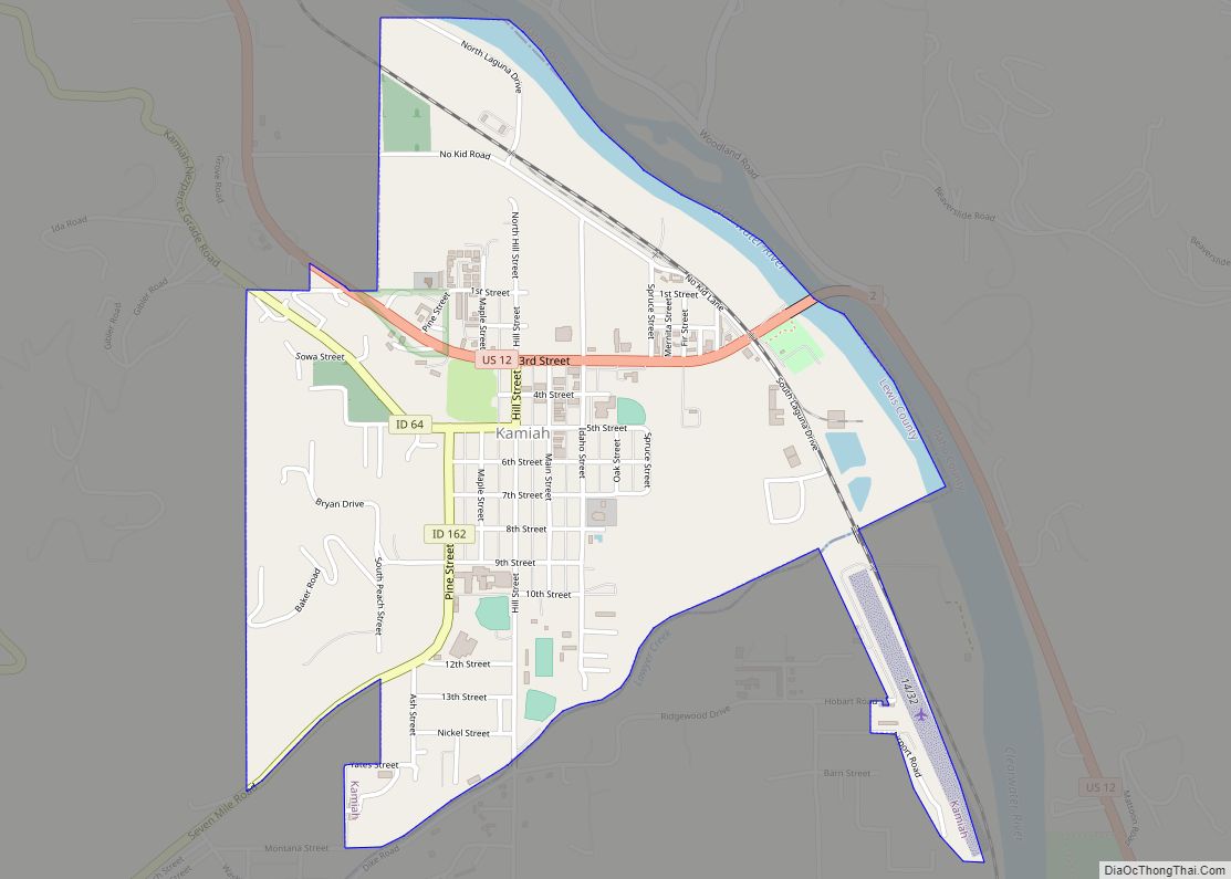
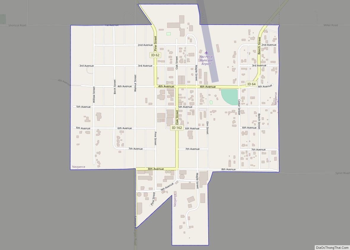
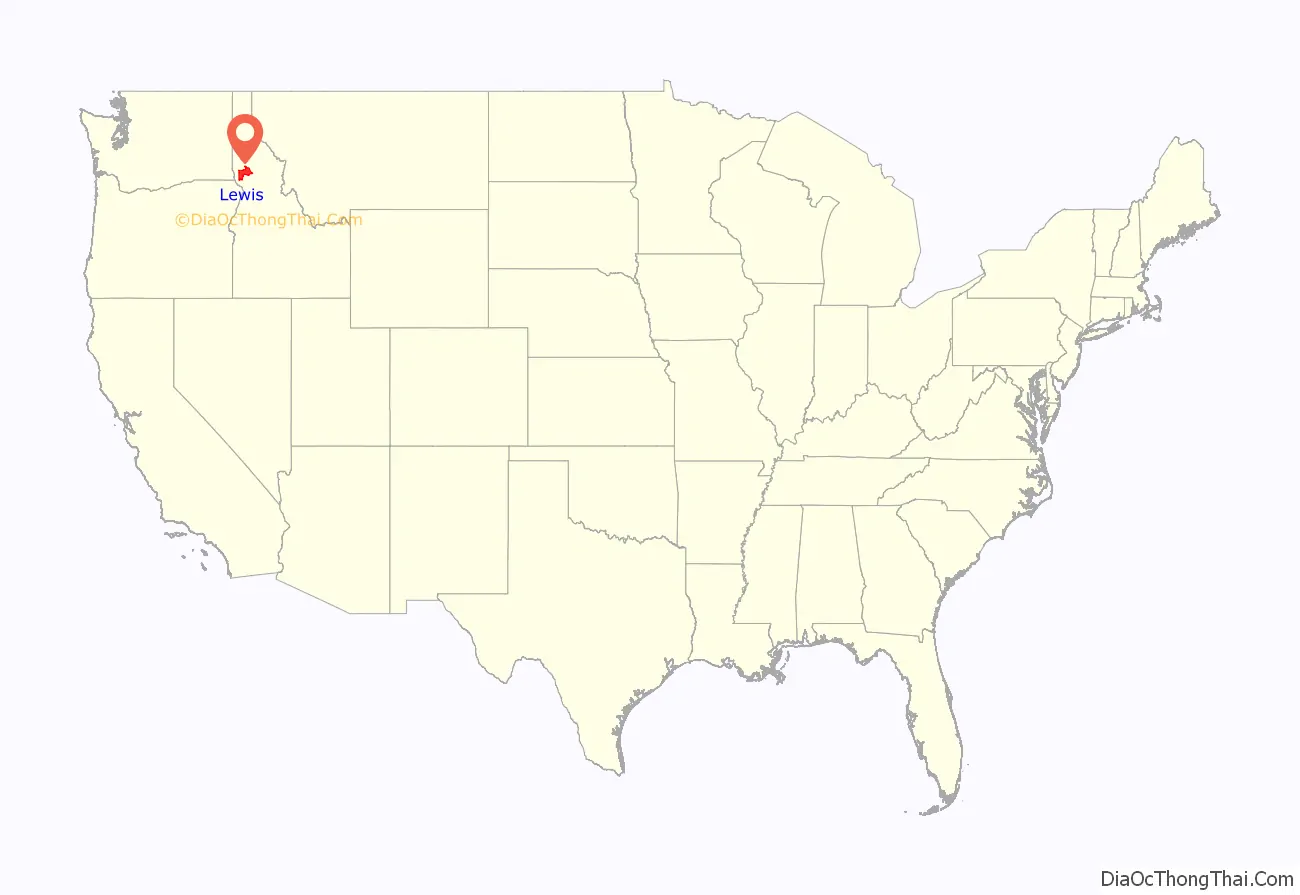
Lewis County is a county located in the north central region of the U.S. state of Idaho. As of the 2020 census, the population was 3,533, making it the fourth-least populous county in Idaho. The county seat is Nezperce, and Kamiah is the largest city. Partitioned from Nez Perce County and established in 1911, it was named after the explorer Meriwether Lewis. Most of the county is within the Nez Perce Indian Reservation, though Native Americans comprise less than 6% of the county population. Similar to the opening of lands in Oklahoma, the U.S. government opened the reservation for white settlement in November 1895. The proclamation had been signed less than two weeks earlier by President Cleveland.
| Name: | Lewis County |
|---|---|
| FIPS code: | 16-061 |
| State: | Idaho |
| Founded: | March 3, 1911 |
| Named for: | Meriwether Lewis |
| Seat: | Nezperce |
| Largest city: | Kamiah |
| Total Area: | 480 sq mi (1,200 km²) |
| Land Area: | 479 sq mi (1,240 km²) |
| Total Population: | 3,533 |
| Population Density: | 7.4/sq mi (2.8/km²) |
| Time zone: | UTC−8 (Pacific) |
| Summer Time Zone (DST): | UTC−7 (PDT) |
| Website: | lewiscountyid.us |
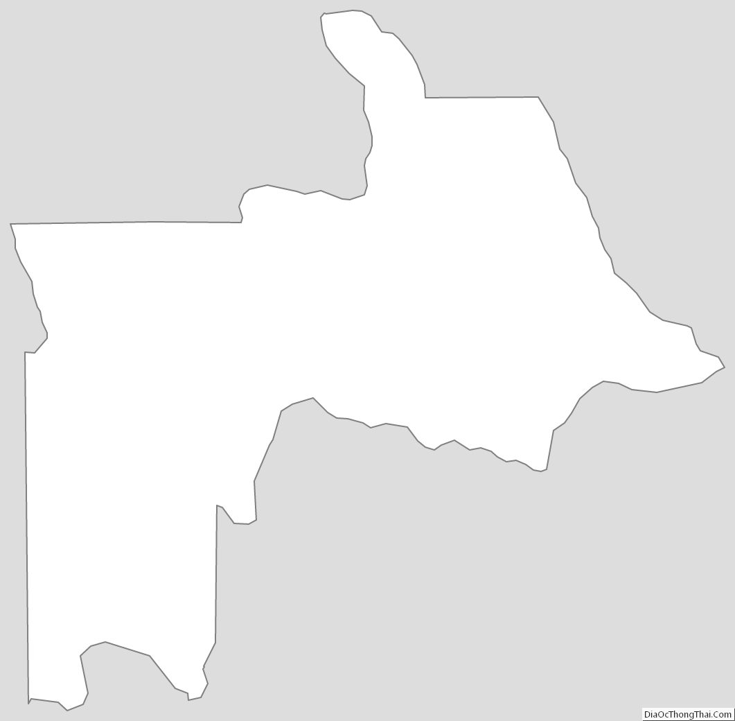
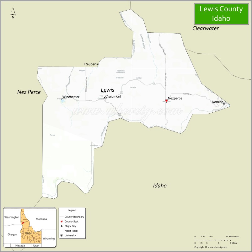
Lewis County location map. Where is Lewis County?
History
Native American Settlement
Early settlement of Idaho by native peoples occurred around 14,000 years ago. Initially, natives of the region were spear hunters of big game. Documented settlement of Idaho’s Camas Prairie by the Nez Perce dates back more than 8,000 years with characteristics of the Old Cordilleran Culture appearing in the region. Characteristics of this culture consist of more sophisticated tools for hunting and the introduction of art forms. The Nez Perce, like their Shoshoni counterparts of southern Idaho gained access to horses prior to the Lewis and Clark Expedition’s first interaction with the tribe in 1805. The expedition camped near Kamiah in the winter of 1806 before returning to the main Clearwater River for their continued trek westward. The majority of Nez Perce County’s territory is located within the boundary of the Nez Perce Reservation. The reservation was established in 1859 following the provisions of an 1855 treaty with the four bands of the Nez Perce Tribe. Relations with the Nez Perce were amicable until discovery of gold at multiple locations within the reservation’s boundaries created tension starting in 1860. A smaller reservation was negotiated with the Kamiah and Lapwai bands of Nez Perce, with a treaty signed in 1867. The Salmon-Wallowa and lower Snake River bands were not a party to the treaty and efforts to force them to the reservation resulted in the Nez Perce War in 1877 that decisively forced all of the Nez Perce to the Nez Perce Reservation. Settlement of non-natives within the boundary of the reservation was authorized starting in 1894.
Non-Native Settlement
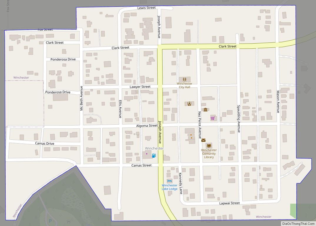
With the opening of non-native settlement by agreement of 1894, settlements emerged starting at Winchester in 1896 followed by Craigmont and Kamiah areas starting by 1898. By the 1900 Census, Nez Perce County established precincts for Central Ridge, Cold Springs, Fletcher, and Nez Perce within the territory of present Lewis County. Their combined population at the time was 2,782.
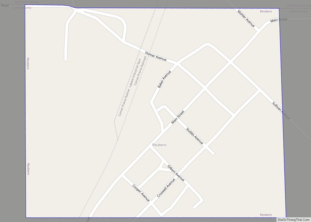
Settlement increased along the route of the Camas Prairie Railroad which reached Reubens in 1906 with operation of the line starting in 1908. The railroad had stops at Nucrag, Reubens, and Craigmont. By 1908, multiple stage lines commenced operation with terminus at Kamiah. At the 1910 Census, Nez Perce established additional precincts for Chesley, Kamiah, Mason, Mohler, and Winchester. Together, all precincts at the 1910 census had a population of 5,037.
Development of Cities
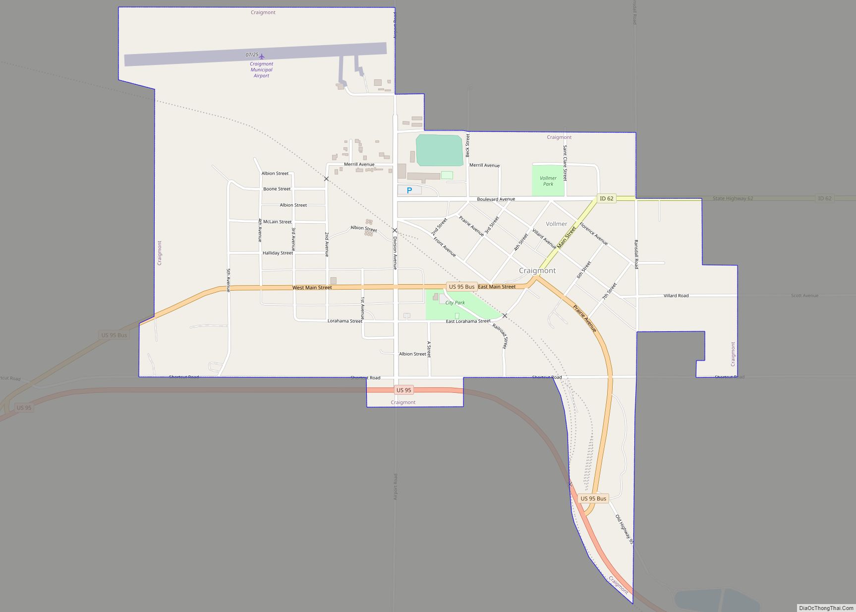
Nez Perce Village incorporated in 1903 with Kippen Village following in 1907. Vollmer town was incorporated in 1908 with the villages of Ilo and Kamiah incorporated in 1909. Reubens and Winchester Villages incorporated by 1920. Ilo and Vollmer consolidated as Craigmont in 1920. Kippen Village was dis-incorporated by 1940 as it is absent from that census.
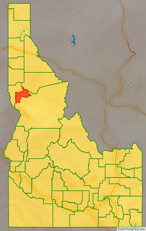
Adjacent counties
- Nez Perce County – northwest
- Idaho County – southeast
- Clearwater County – northeast
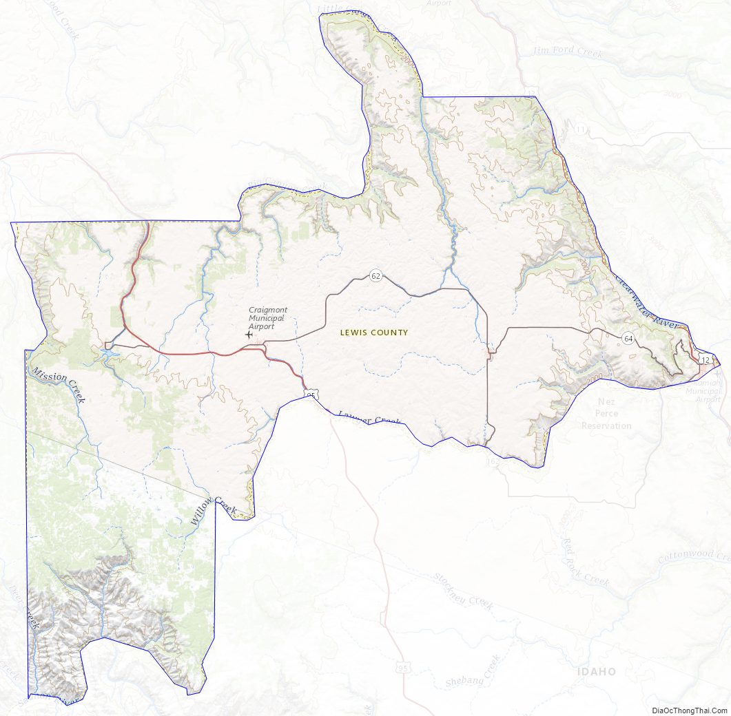
Major highways
- – US 12
- – US 95
- – SH-7
- – SH-11
- – SH-62
- – SH-64
- – SH-162
National protected area
- Clearwater National Forest (part)
Lewis County Road Map
Geography
According to the U.S. Census Bureau, the county has a total area of 480 square miles (1,200 km), of which 479 square miles (1,240 km) is land and 0.9 square miles (2.3 km) (0.2%) is water. It is the fourth-smallest county in Idaho by area. The county contains the northern portion of the Camas Prairie, an elevated prairie-like region of the middle Columbia basin, south of the Clearwater River. The Clearwater River forms the eastern boundary of Lewis County, just upstream of where the Lewis and Clark Expedition put their canoes in the water for the trip to the Pacific Ocean.
Lewis County Topographic Map
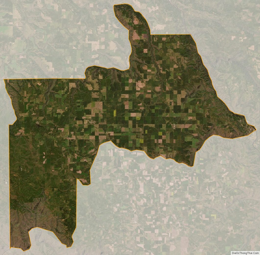
Lewis County Satellite Map
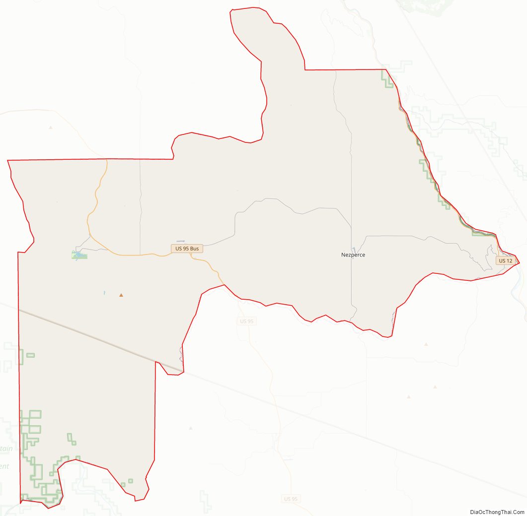
Lewis County Outline Map