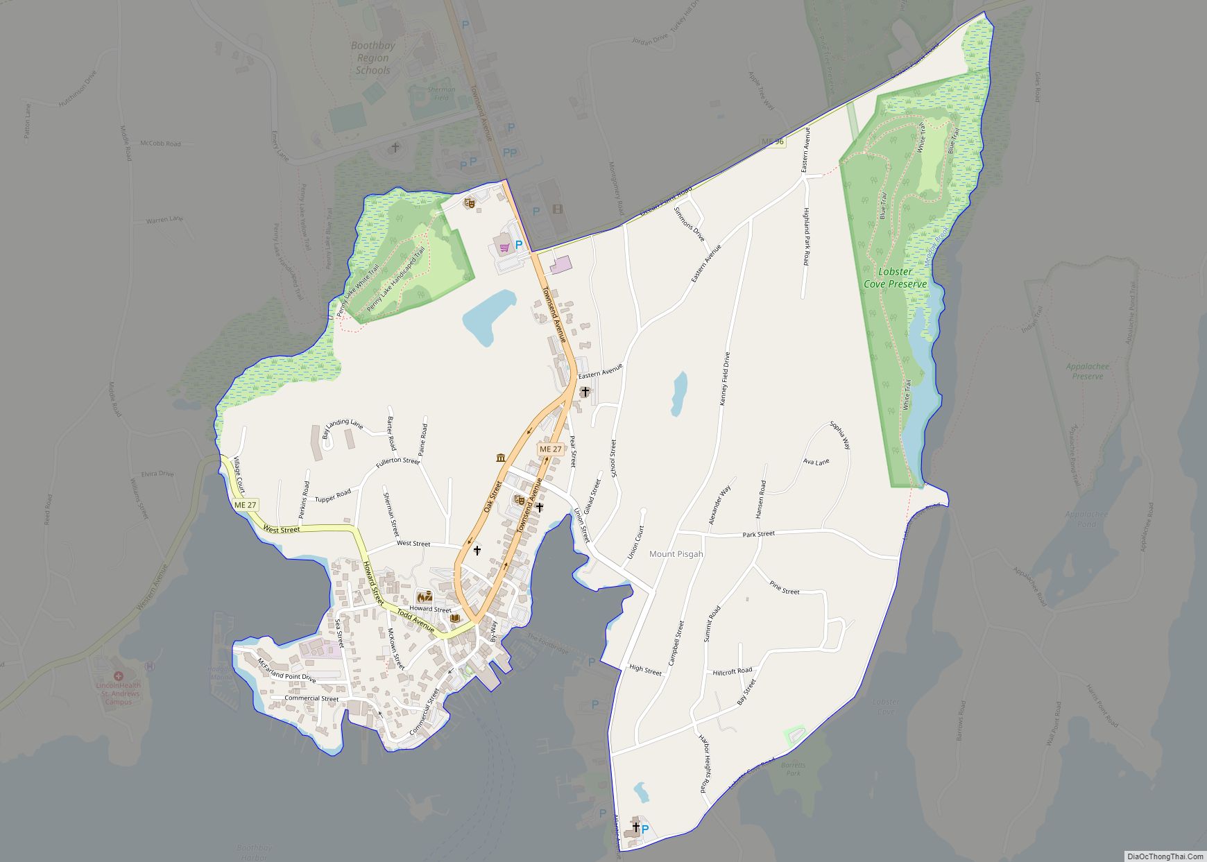
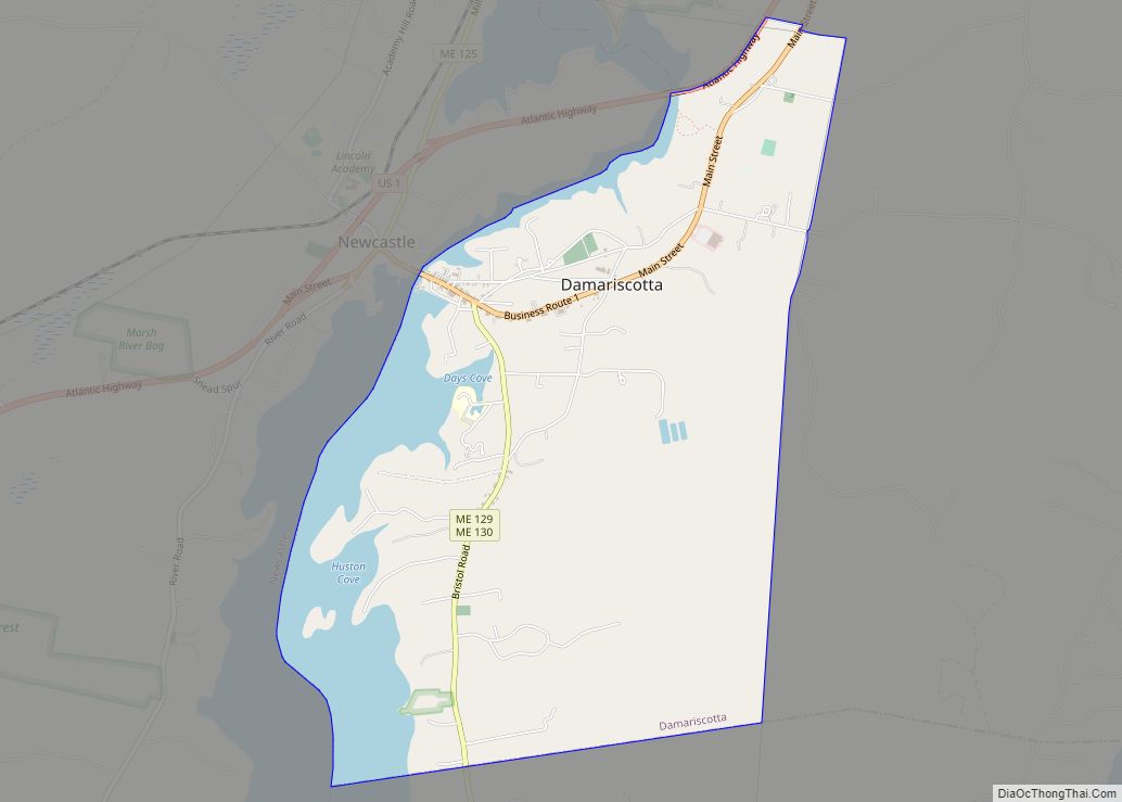
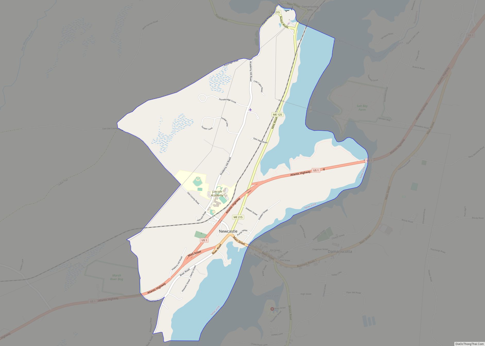
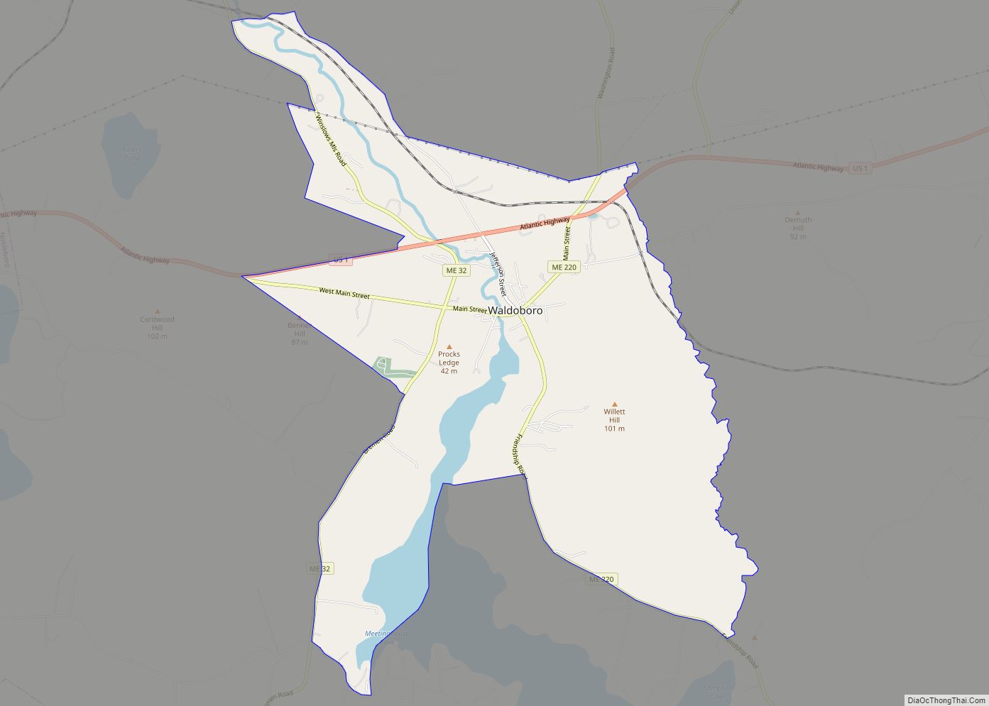
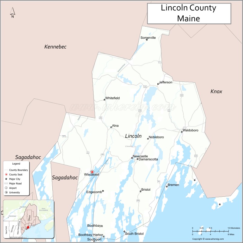
Lincoln County is a county located in the U.S. state of Maine. As of the 2020 census, the population was 35,237. Its seat is Wiscasset. The county was founded in 1760 by the Massachusetts General Court from a portion of York County, Massachusetts and named after the English city Lincoln, the birthplace of Massachusetts Bay Provincial Governor Thomas Pownall.
At its founding, Lincoln County accounted for three-fifths of the state’s land, and stretched east to Nova Scotia. Thirteen counties were cut out of this land including Sagadahoc County to the west and a portion of Kennebec County to the north. The county flag is a traditional New England flag, adopted in 1977.
| Name: | Lincoln County |
|---|---|
| FIPS code: | 23-015 |
| State: | Maine |
| Founded: | 1760 |
| Named for: | Lincoln, England |
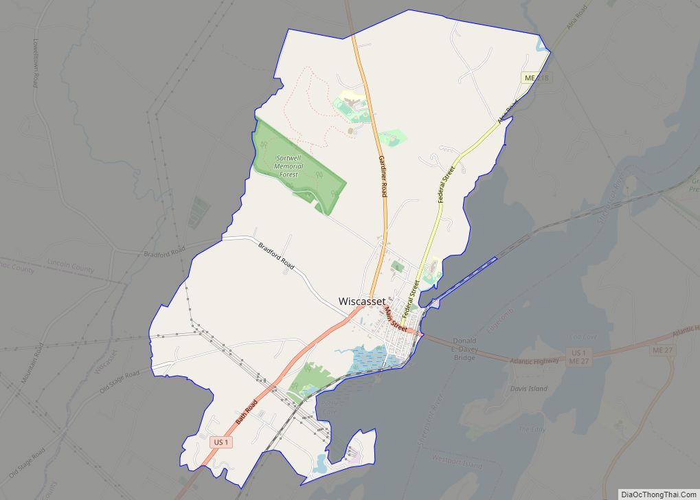
| Seat: | Wiscasset |
| Largest town: | Waldoboro |
| Total Area: | 700 sq mi (2,000 km²) |
| Land Area: | 456 sq mi (1,180 km²) |
| Total Population: | 35,237 |
| Population Density: | 50/sq mi (19/km²) |
| Time zone: | UTC−5 (Eastern) |
| Summer Time Zone (DST): | UTC−4 (EDT) |
| Website: | www.lincolncountymaine.me |
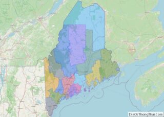
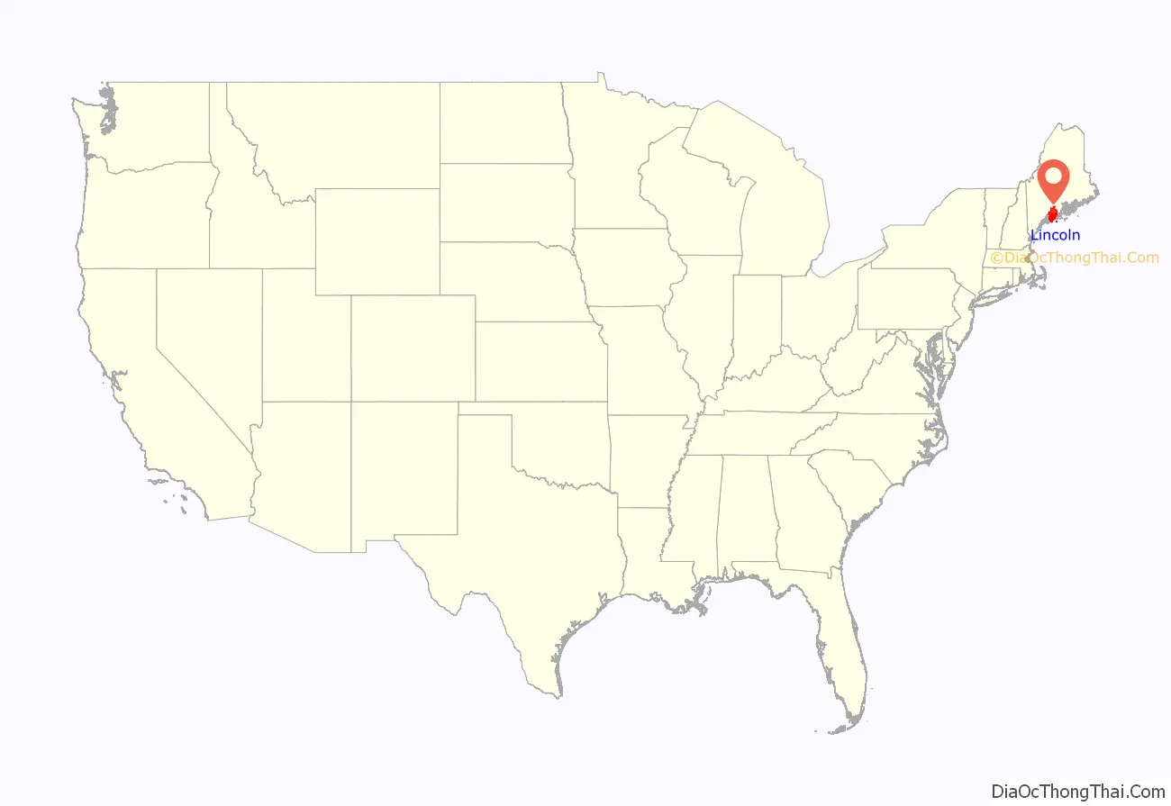
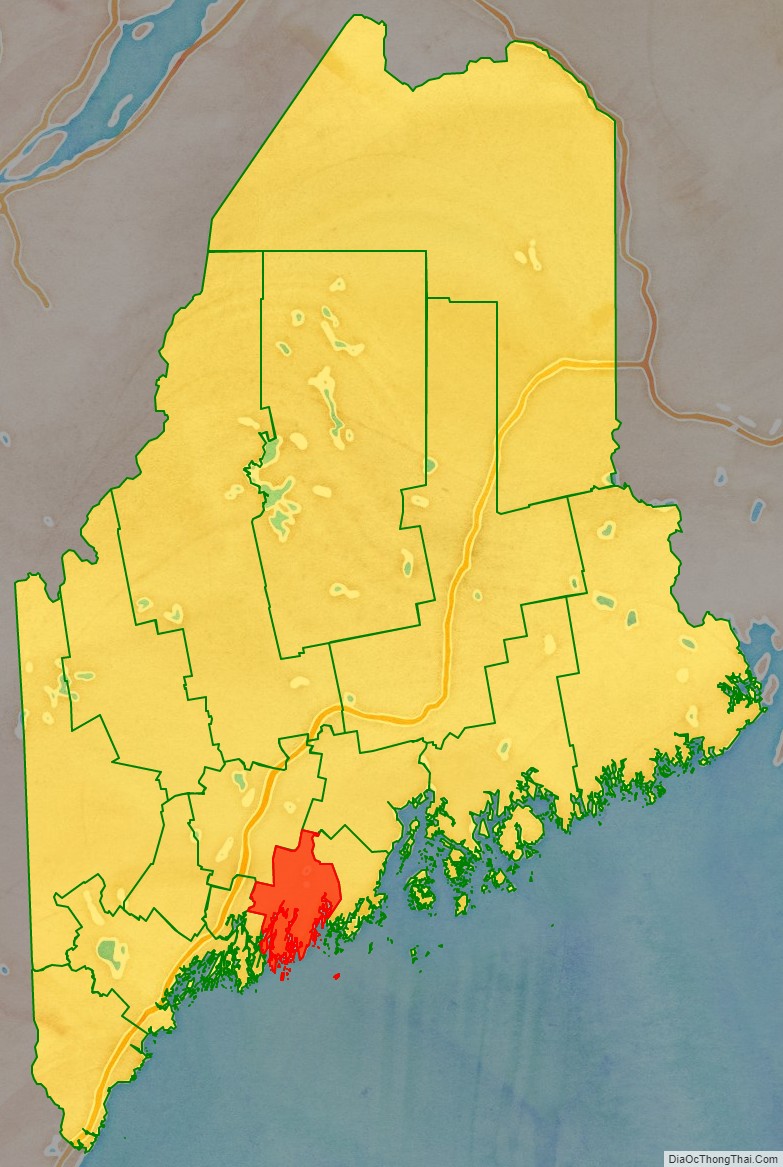
Lincoln County location map. Where is Lincoln County?
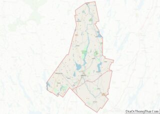
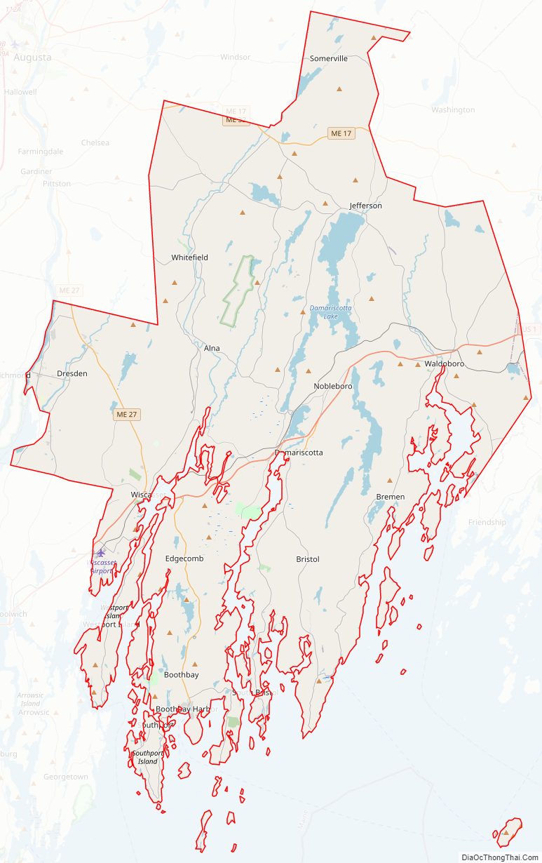
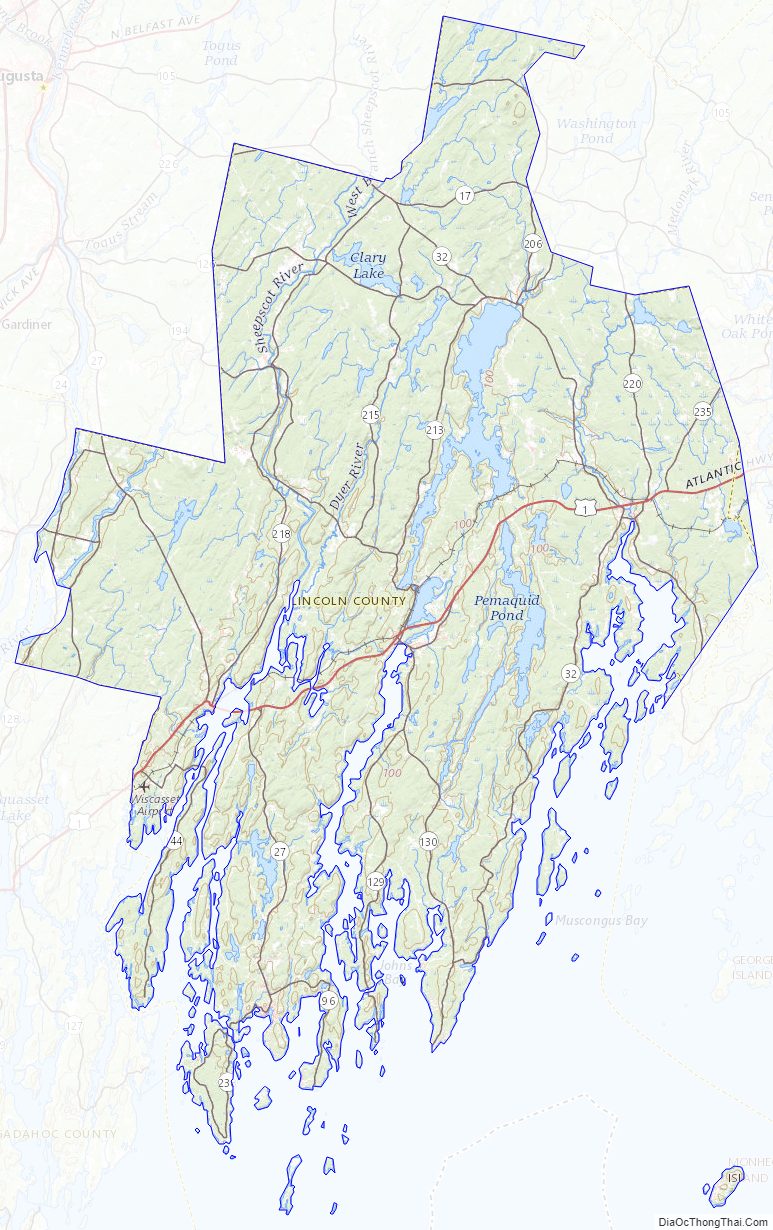
Lincoln County Road Map
Geography
According to the U.S. Census Bureau, the county has a total area of 700 square miles (1,800 km), of which 456 square miles (1,180 km) is land and 244 square miles (630 km) (35%) is water. It is the third-smallest county in Maine by area.
Adjacent counties
- Kennebec County — north
- Waldo County — northeast
- Knox County — east
- Sagadahoc County — west
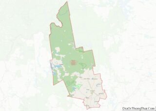
Lincoln County Topographic Map
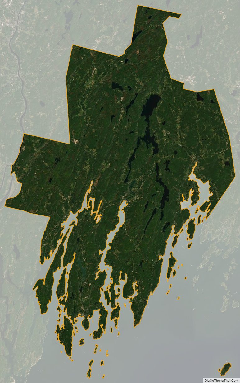
Lincoln County Satellite Map
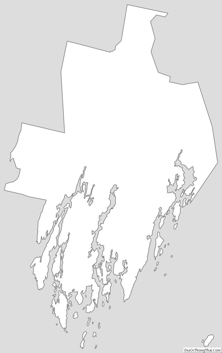
Lincoln County Outline Map