Waldo County is a county in the state of Maine, in the United States. As of the 2020 census, the population was 39,607. Its county seat is Belfast. The county was founded on February 7, 1827 from a portion of Hancock County and named after Brigadier-General Samuel Waldo, proprietor of the Waldo Patent.
| Name: | Waldo County |
|---|---|
| FIPS code: | 23-027 |
| State: | Maine |
| Founded: | 1827 |
| Named for: | Samuel Waldo |
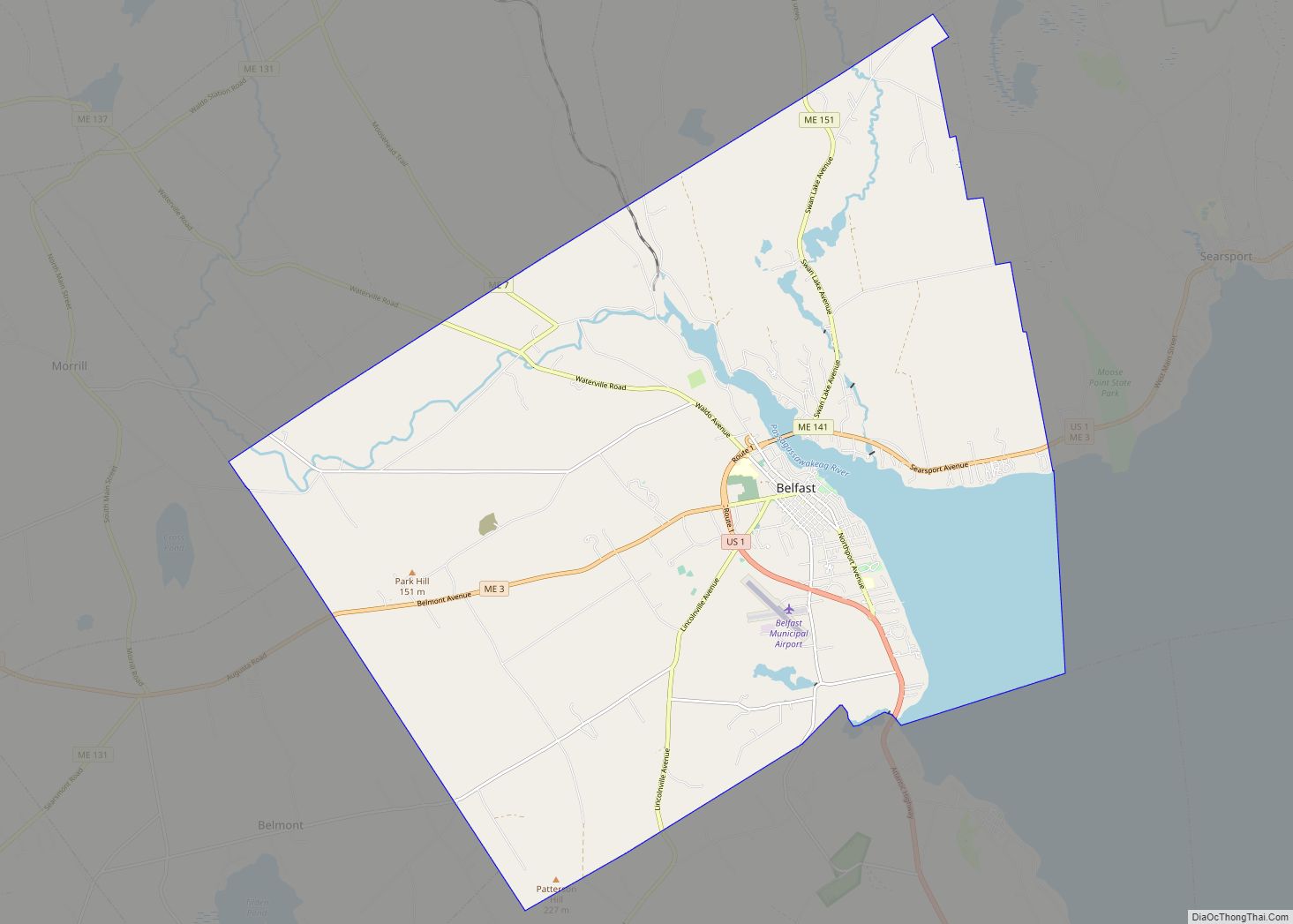
| Seat: | Belfast |
| Largest city: | Belfast |
| Total Area: | 853 sq mi (2,210 km²) |
| Land Area: | 730 sq mi (1,900 km²) |
| Total Population: | 39,607 |
| Population Density: | 46/sq mi (18/km²) |
| Time zone: | UTC−5 (Eastern) |
| Summer Time Zone (DST): | UTC−4 (EDT) |
| Website: | waldocountyme.gov |
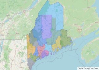
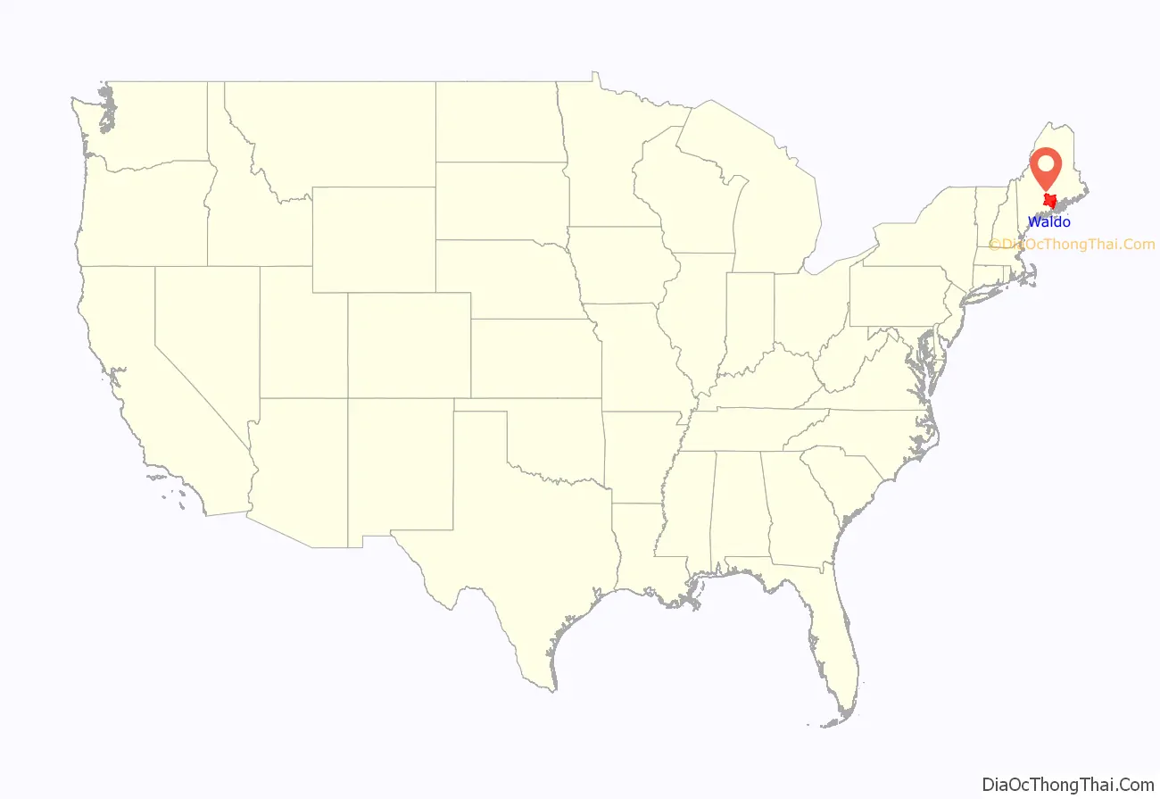
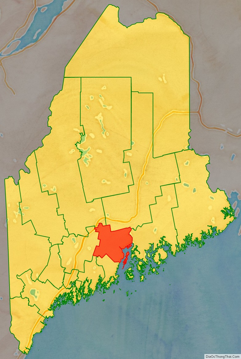
Waldo County location map. Where is Waldo County?
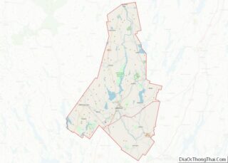
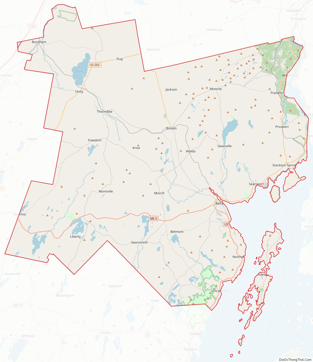
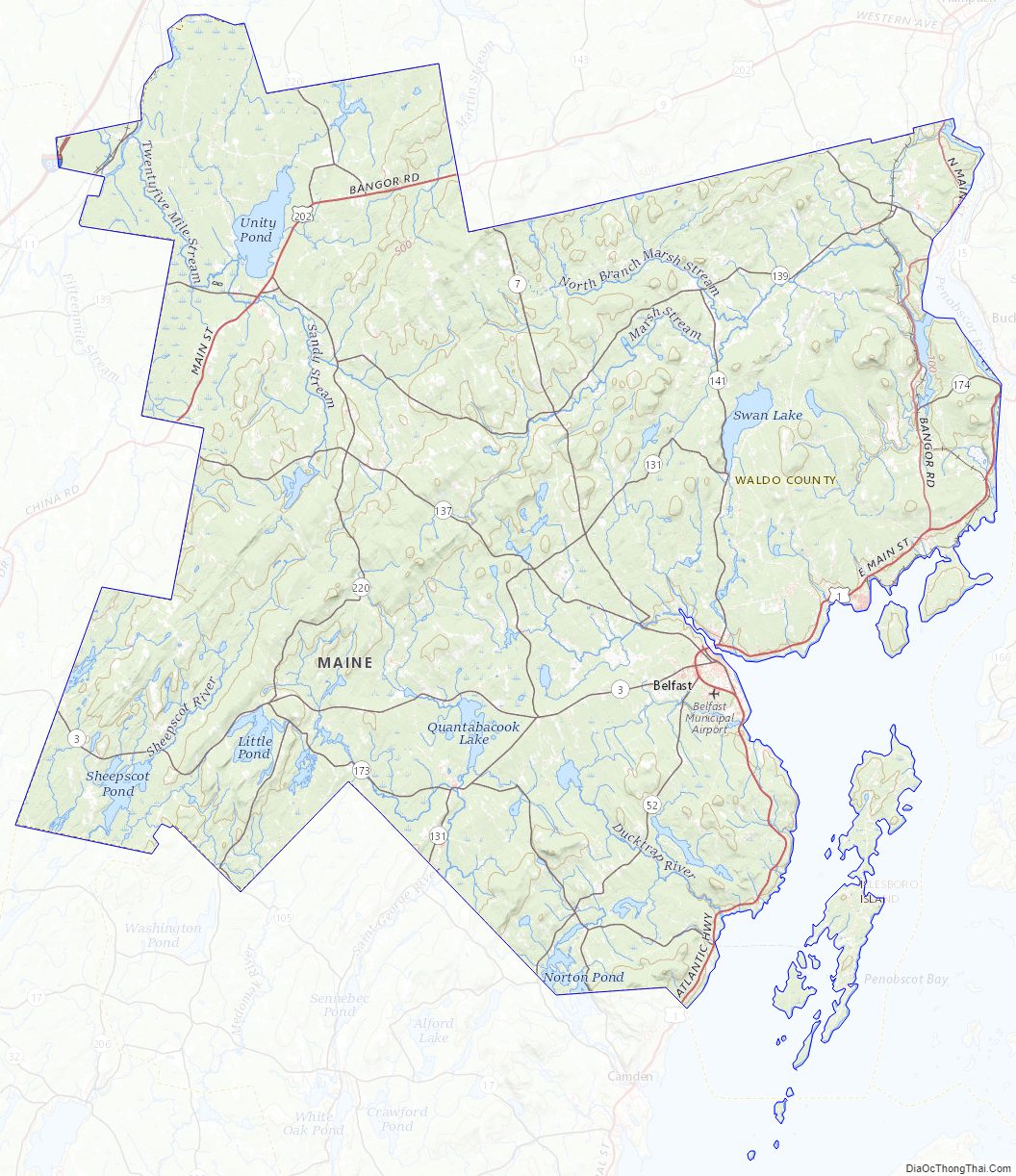
Waldo County Road Map
Geography
According to the U.S. Census Bureau, the county has an area of 853 square miles (2,210 km), of which 730 square miles (1,900 km) is land and 123 square miles (320 km) (14%) is water.
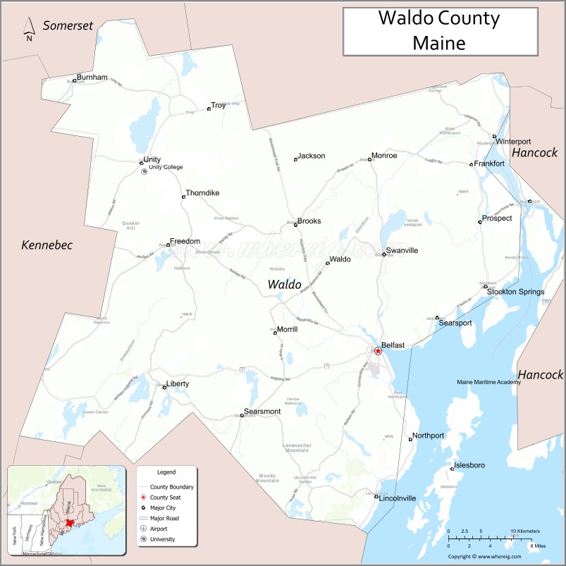
Adjacent counties
- Penobscot County – northeast
- Hancock County – east
- Knox County – south
- Lincoln County – southwest
- Kennebec County – west
- Somerset County – northwest
National protected area
- Carlton Pond Waterfowl Production Area
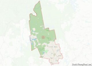
Waldo County Topographic Map
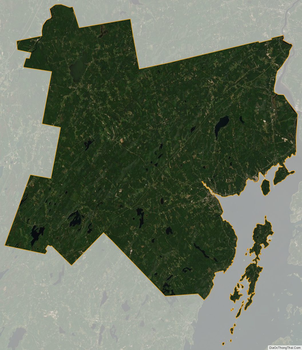
Waldo County Satellite Map
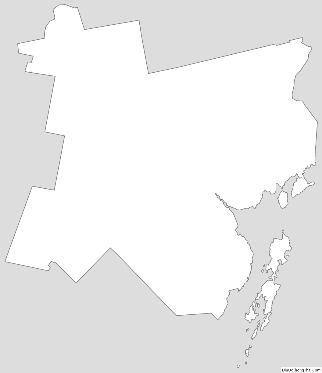
Waldo County Outline Map