Marshall County is a county located in the U.S. state of Iowa. As of the 2020 census, the population was 40,105. The county seat is Marshalltown. The county was formed on January 13, 1846, and named after John Marshall, Chief Justice of the United States Supreme Court.
Marshall County comprises the Marshalltown, IA Micropolitan Statistical Area.
In 2010, the center of population of Iowa was located in Marshall County, near Melbourne.
| Name: | Marshall County |
|---|---|
| FIPS code: | 19-127 |
| State: | Iowa |
| Founded: | 1846 |
| Named for: | John Marshall |
| Seat: | Marshalltown |
| Largest city: | Marshalltown |
| Total Area: | 573 sq mi (1,480 km²) |
| Land Area: | 572 sq mi (1,480 km²) |
| Total Population: | 40,105 |
| Population Density: | 70/sq mi (27/km²) |
| Time zone: | UTC−6 (Central) |
| Summer Time Zone (DST): | UTC−5 (CDT) |
| Website: | www.marshallcountyia.gov |
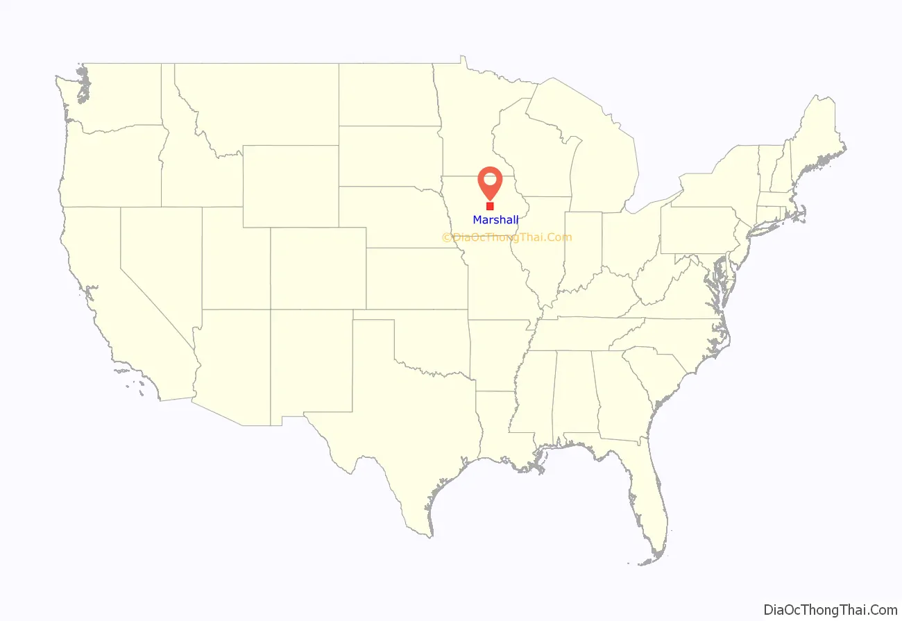
Marshall County location map. Where is Marshall County?
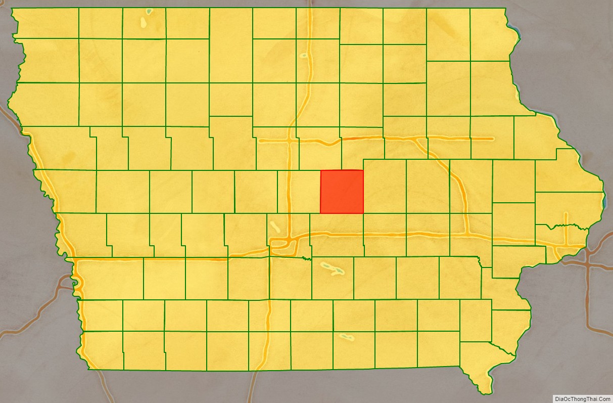
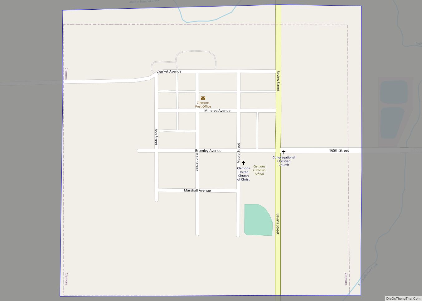
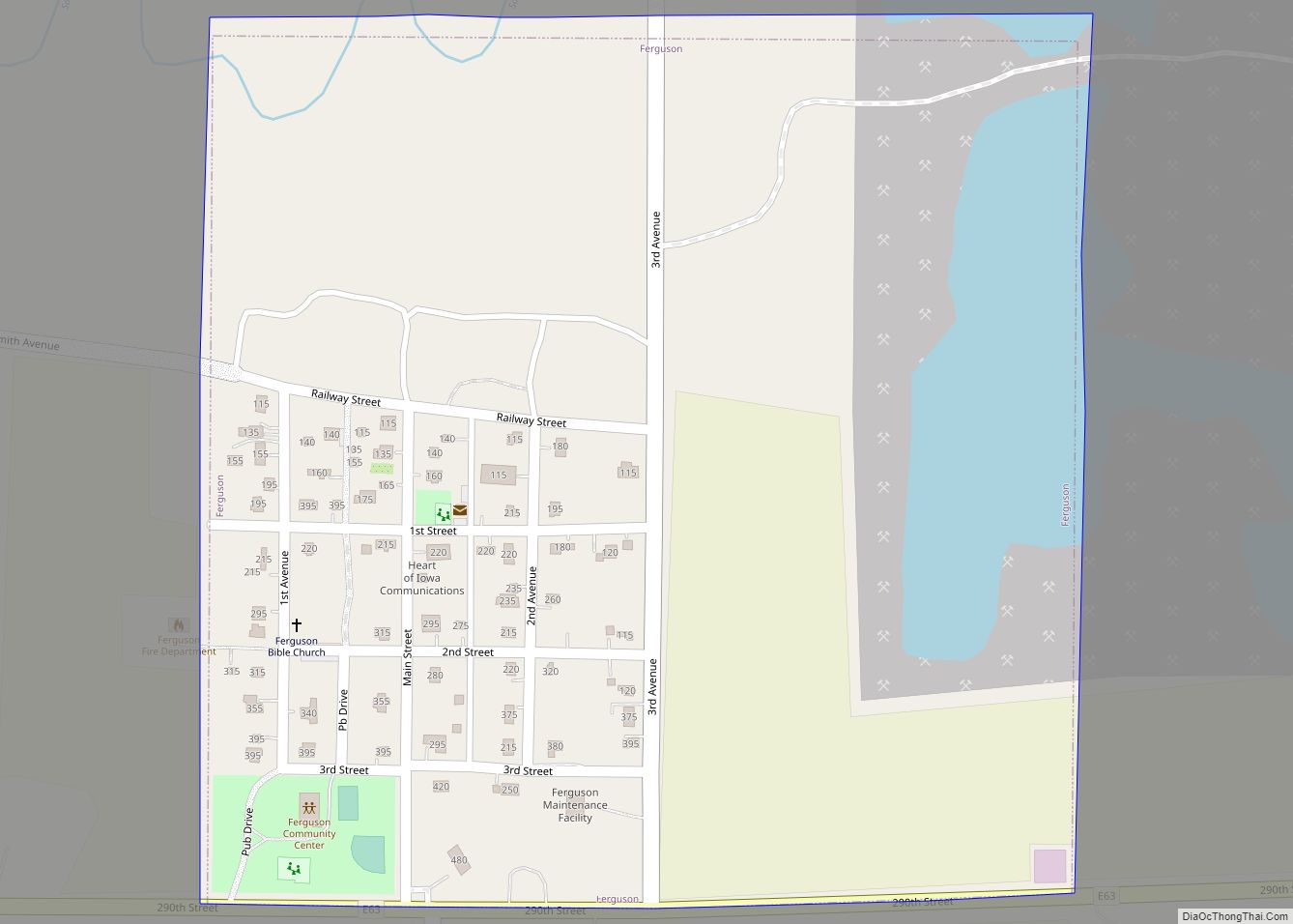
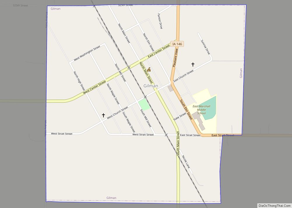
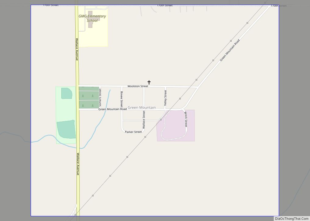
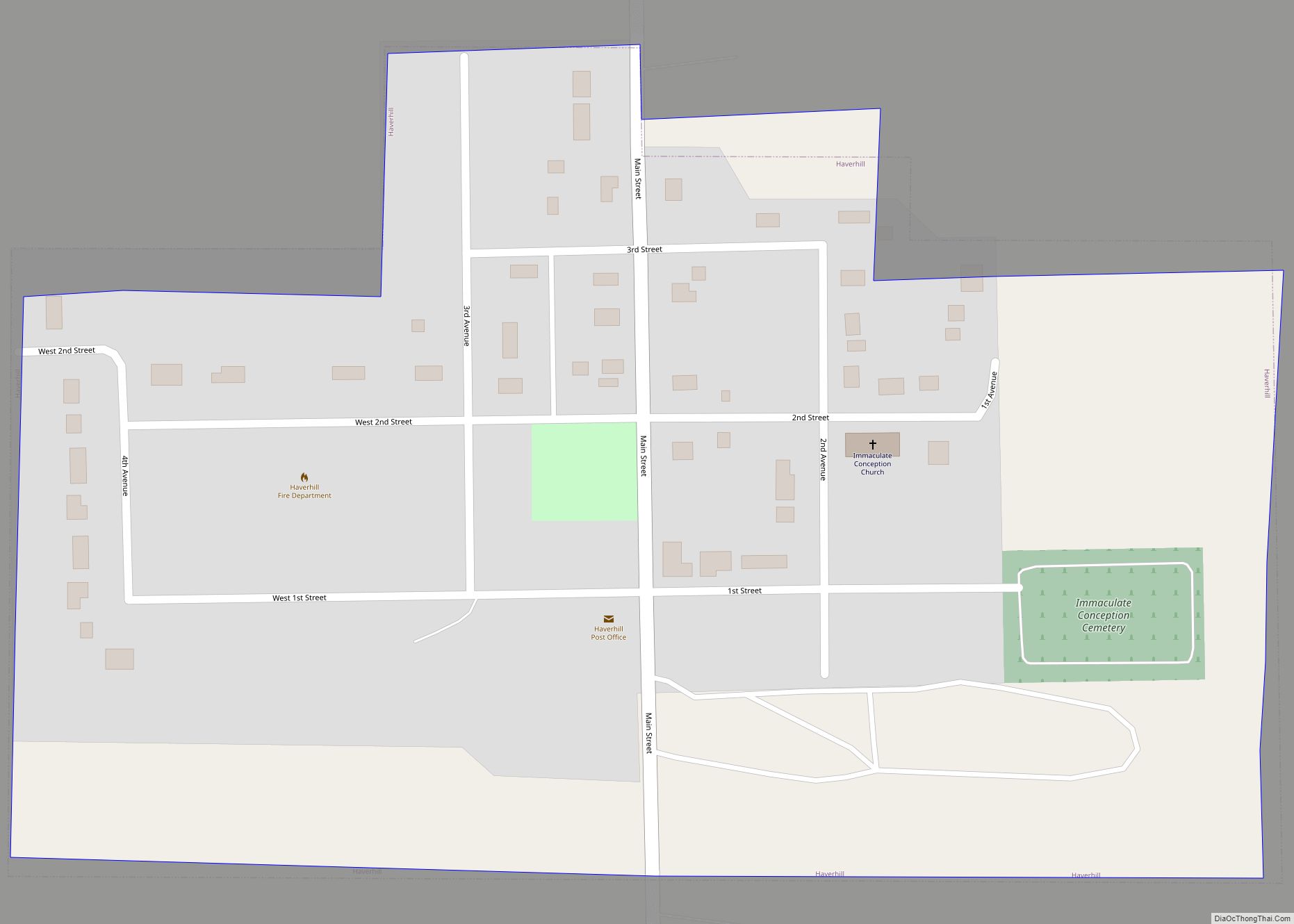
Marshall County Road Map
Geography
According to the U.S. Census Bureau, the county has a total area of 573 square miles (1,480 km), of which 573 square miles (1,480 km) is land and 0.7 square miles (1.8 km) (0.1%) is water.
Major highways
- US 30
- Iowa 14
- Iowa 96
- Iowa 146
- Iowa 330
Adjacent counties
Jasper County (South)
Tama County (East)
Story County (West)
Hardin County (Northwest)
Grundy County (North)
