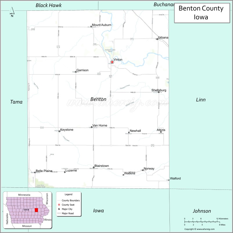
Benton County is a county in the U.S. state of Iowa. As of the 2020 census, the population was 25,575. Its county seat and largest city is Vinton. The county is named for Thomas Hart Benton, a U.S. Senator from Missouri.
Benton County is part of the Cedar Rapids, IA Metropolitan Statistical Area.
| Name: | Benton County |
|---|---|
| FIPS code: | 19-011 |
| State: | Iowa |
| Founded: | 1837 |
| Named for: | Thomas Hart Benton |
| Seat: | Vinton |
| Largest city: | Vinton |
| Total Area: | 718 sq mi (1,860 km²) |
| Land Area: | 716 sq mi (1,850 km²) |
| Total Population: | 25,575 |
| Population Density: | 36/sq mi (14/km²) |
| Time zone: | UTC−6 (Central) |
| Summer Time Zone (DST): | UTC−5 (CDT) |
| Website: | www.bentoncountyia.gov |
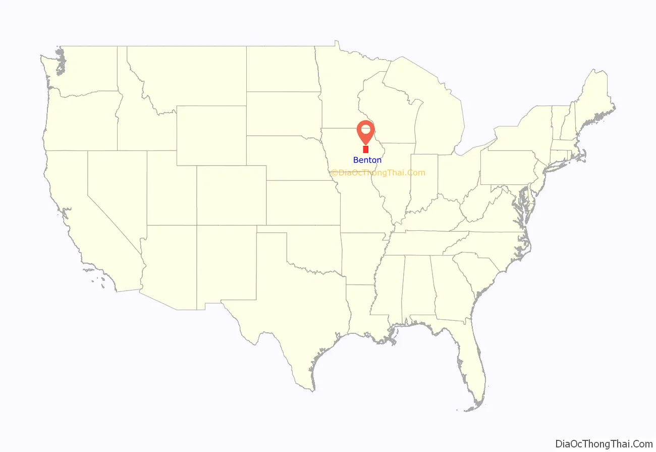
Benton County location map. Where is Benton County?
History
Benton County was formed on December 21, 1837, from sections of Dubuque County. It was named after US Senator Thomas Hart Benton.
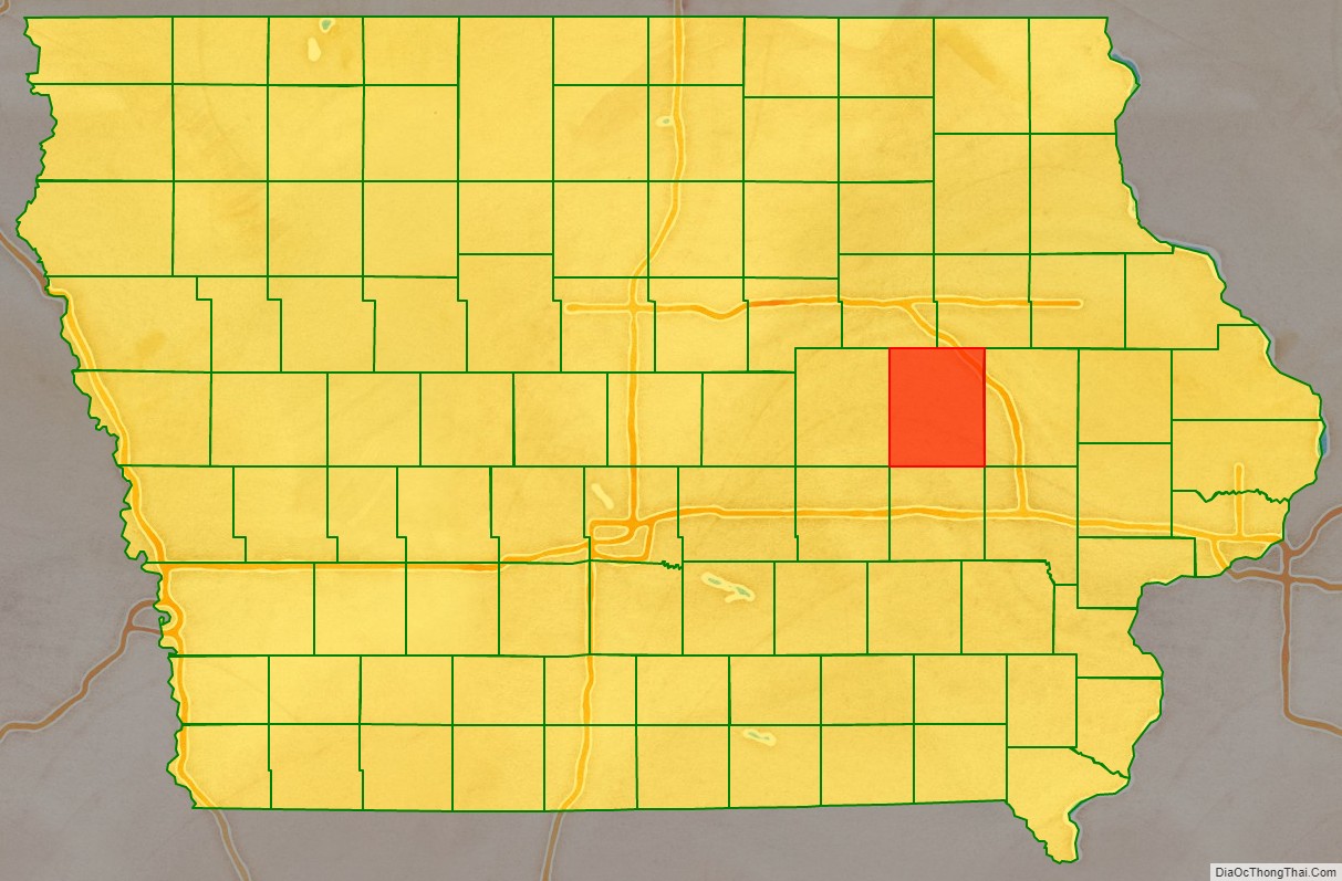
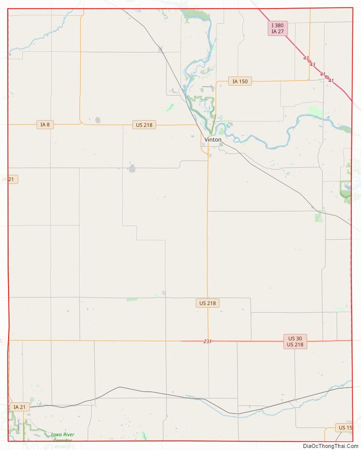
Benton County Road Map
Geography
According to the U.S. Census Bureau, the county has a total area of 718 square miles (1,860 km), of which 716 square miles (1,850 km) is land and 2.2 square miles (5.7 km) (0.3%) is water.
Major highways
- Interstate 380
- U.S. Highway 30
- U.S. Highway 151
- U.S. Highway 218
- Iowa Highway 8
- Iowa Highway 21
- Iowa Highway 27
- Iowa Highway 150
Adjacent counties
- Black Hawk County (northwest)
- Buchanan County (northeast)
- Linn County (east)
- Iowa County (south)
- Tama County (west)
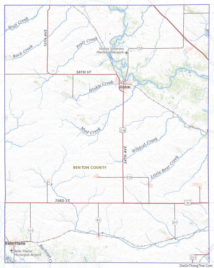
Benton County Topographic Map
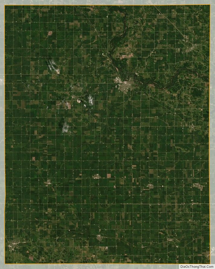
Benton County Satellite Map
Benton County Outline Map