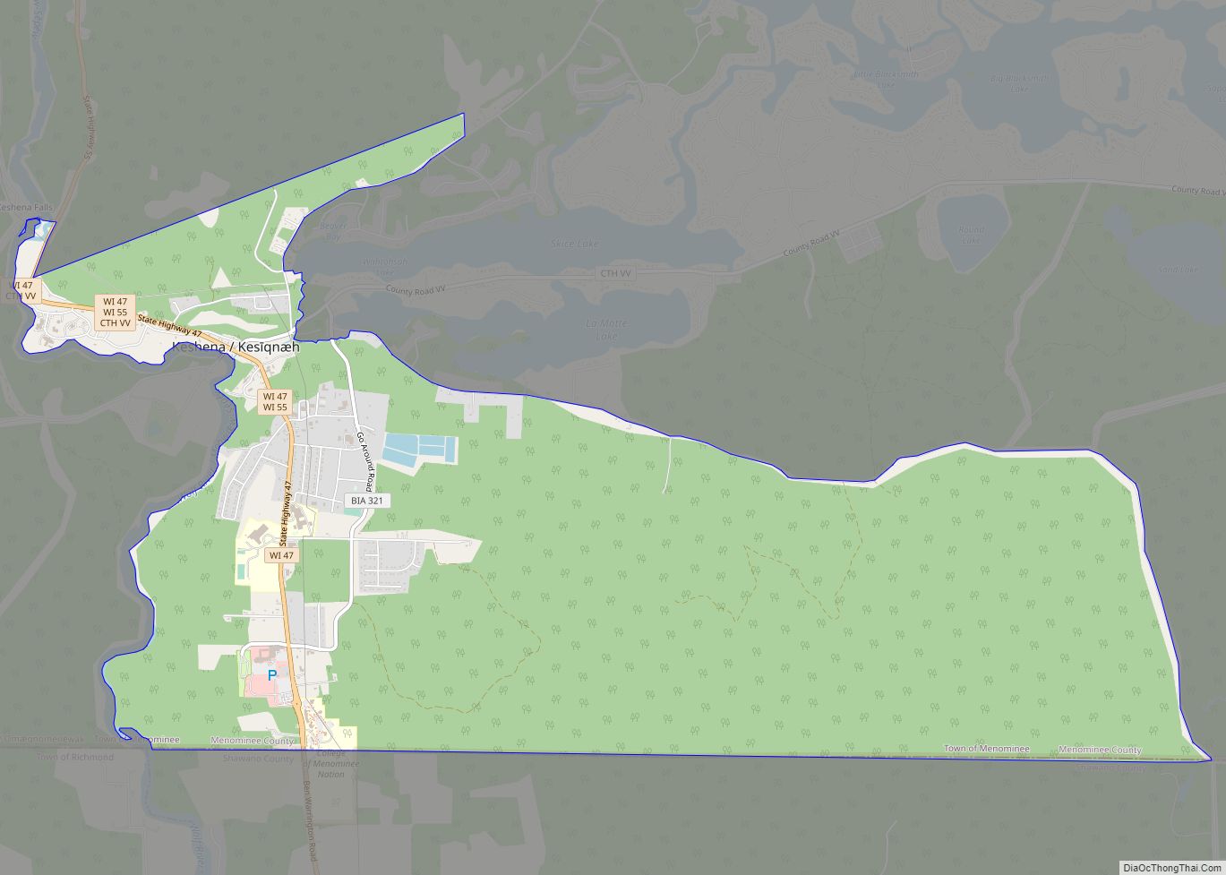
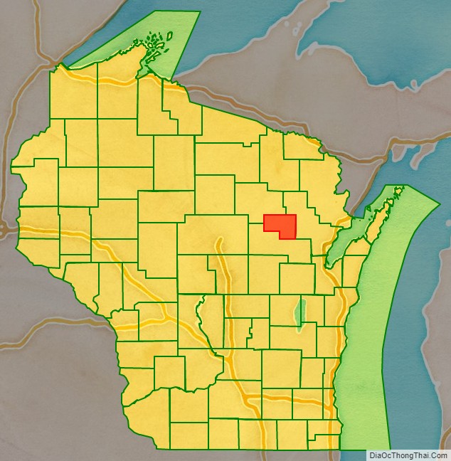
Menominee County is a county in the U.S. state of Wisconsin. As of the 2020 census, the population was 4,255, making it the least populous county in Wisconsin. Its county seat is in the community of Keshena.
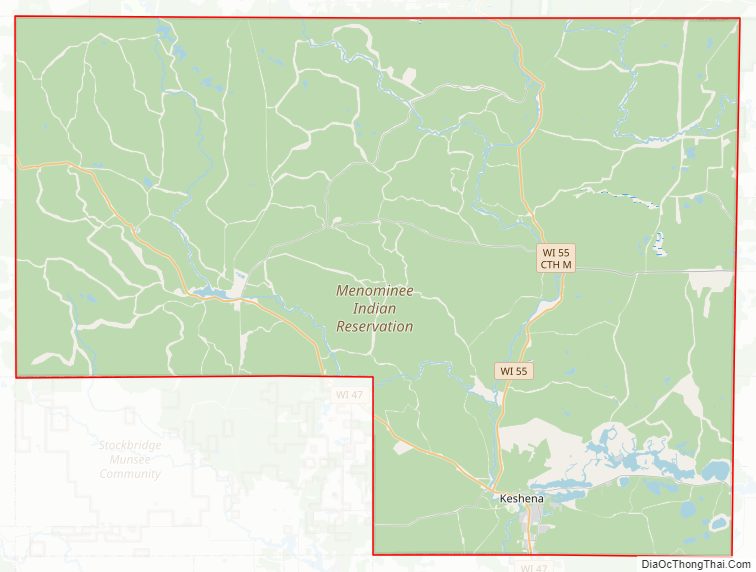
Menominee is Wisconsin’s newest county, having been created in 1959 after recognition of the Menominee tribe was terminated by federal law. In 1974, the tribe regained federal recognition and restoration of most of its reservation. Today Menominee County is essentially coterminous with the boundaries of the federally recognized Menominee Indian Reservation.
Menominee County is included in the Shawano, WI Micropolitan Statistical Area, which is also included in the Green Bay-Shawano, WI Combined Statistical Area.
| Name: | Menominee County |
|---|---|
| FIPS code: | 55-078 |
| State: | Wisconsin |
| Founded: | July 3, 1959 |
| Named for: | Menominee tribe |
| Seat: | Keshena |
| Largest town: | Menominee |
| Total Area: | 365 sq mi (950 km²) |
| Land Area: | 358 sq mi (930 km²) |
| Total Population: | 4,255 |
| Population Density: | 11.9/sq mi (4.6/km²) |
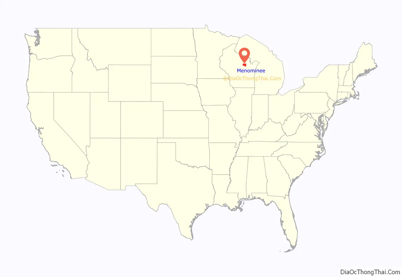
Menominee County location map. Where is Menominee County?
History
The county was created from the northeastern portion of 7 townships of Shawano County and the Western 3 townships of Oconto County on July 3, 1959, in anticipation of the termination of the Menominee Indian Reservation in 1961. The reservation status was restored in 1973, and is now co-extensive with the county.
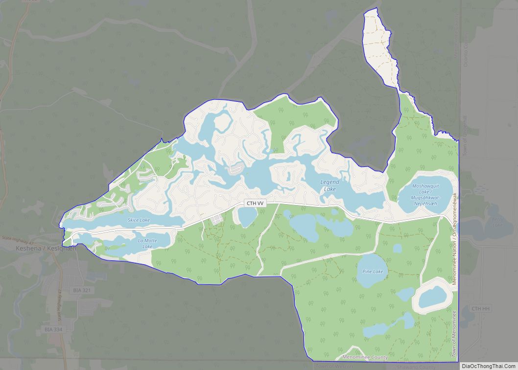
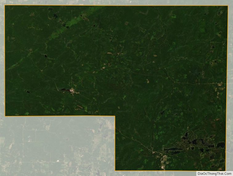
Most of the land within the county boundary is under Federal trust for the exclusive use by enrolled members of the Menominee nation. Scattered parcels that were purchased during termination, as well as many lots around the Legend Lake area in the southeastern part of the county, are the only parts of the county that are privately owned by non-Native Americans. Most of Menominee County’s population consists of members of the Menominee nation.
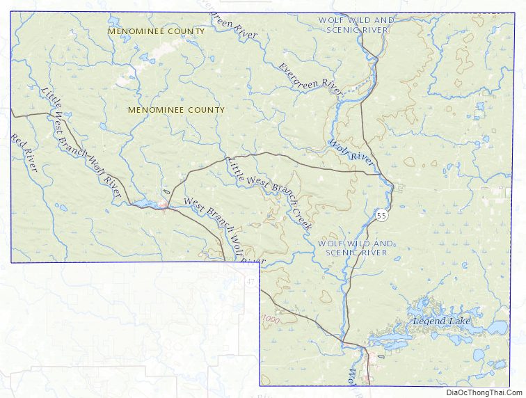
Menominee County Road Map
Geography
According to the U.S. Census Bureau, the county has a total area of 365 square miles (950 km), of which 358 square miles (930 km) is land and 7.4 square miles (19 km) (2.0%) is water. It is the second-smallest county in Wisconsin by total area.
Adjacent counties
- Oconto County – east
- Shawano County – south
- Langlade County – northwest
Major highways
- Highway 47 (Wisconsin)
- Highway 55 (Wisconsin)
Buses
- List of intercity bus stops in Wisconsin
Menominee County Topographic Map
Menominee County Satellite Map
Menominee County Outline Map