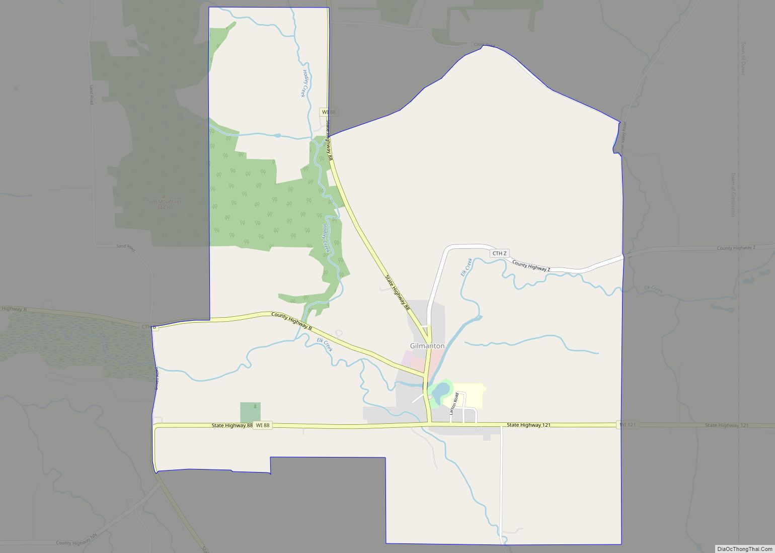
Buffalo County is a county located in the U.S. state of Wisconsin. As of the 2020 census, the population was 13,317. Its county seat is Alma. The county was created in 1853 and organized the following year.
| Name: | Buffalo County |
|---|---|
| FIPS code: | 55-011 |
| State: | Wisconsin |
| Founded: | 1854 |
| Named for: | Buffalo River |
| Seat: | Alma |
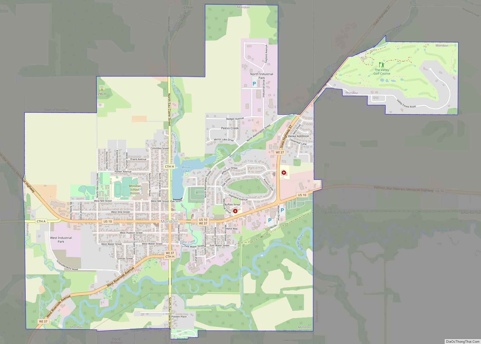
| Largest city: | Mondovi |
| Total Area: | 710 sq mi (1,800 km²) |
| Land Area: | 672 sq mi (1,740 km²) |
| Total Population: | 13,317 |
| Population Density: | 19.7/sq mi (7.6/km²) |
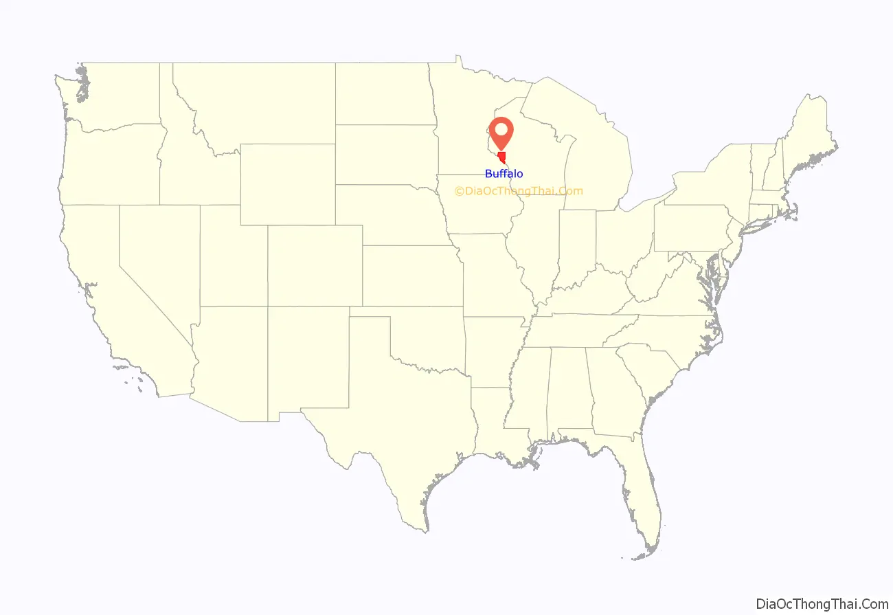
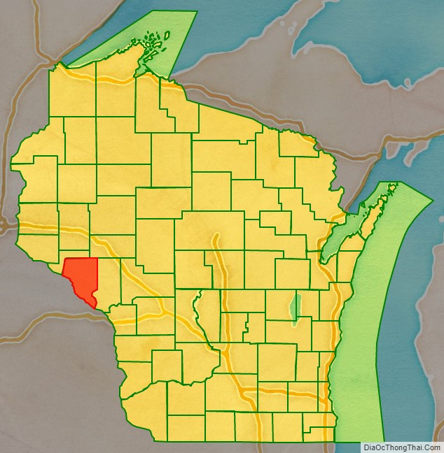
Buffalo County location map. Where is Buffalo County?
History
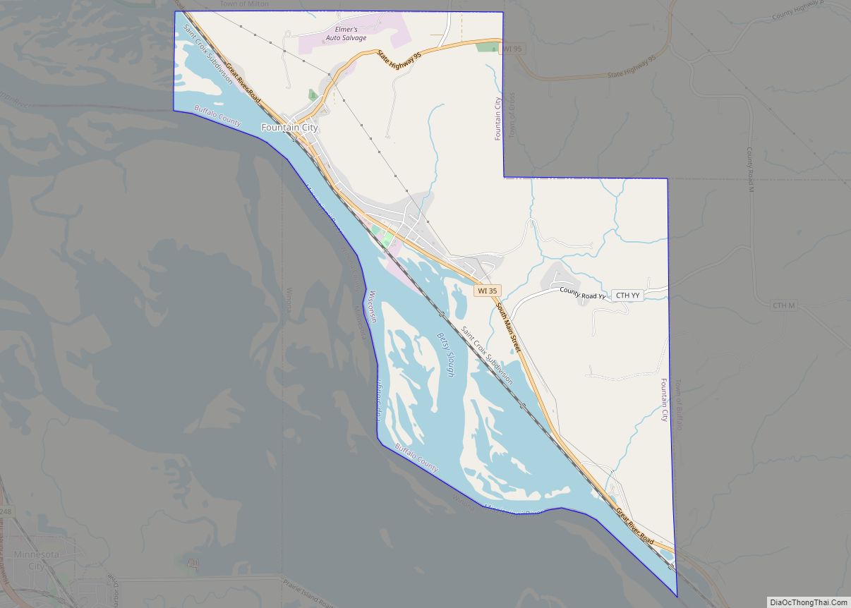
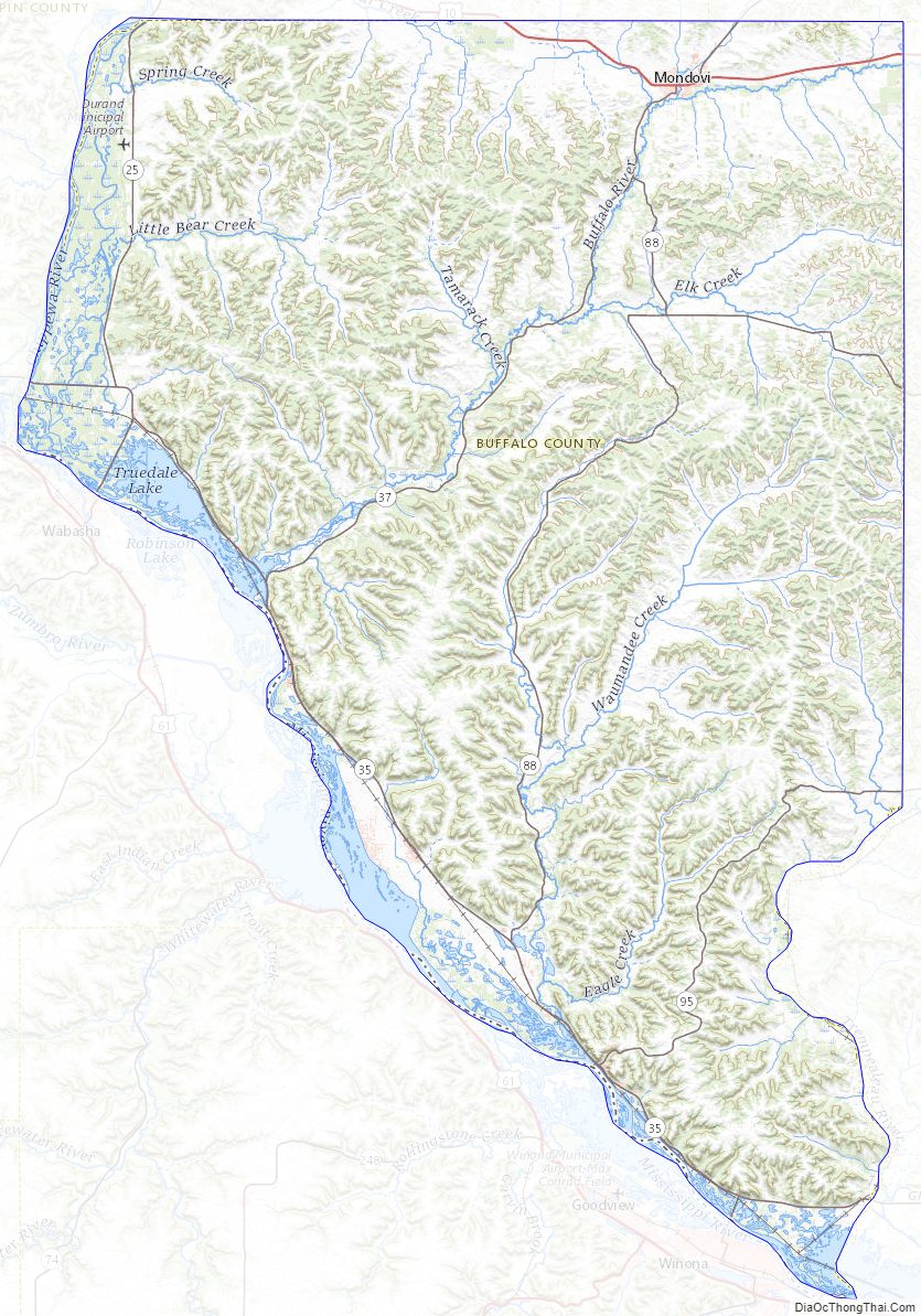
Buffalo County, founded in 1853, is named for the Buffalo River, which flows from Strum to Alma, where it empties into the Mississippi River. The Buffalo River obtained its name from the French voyager Father Louis Hennepin, who named it Riviere des Boeufs in 1680. The first permanent settlement was established in 1839, located in what is now Fountain City. This settlement was originally named Holmes’ Landing after a family who traded with the Sioux and Chippewa. Buffalo County was settled primarily by Swiss, German, and Norwegian immigrants who were drawn to the area by the growing lumber industry, fertile soils, access to the Mississippi, and available land. By 1848, a second community was established called Twelve Mile Bluff, which is now known as Alma.
Agriculture developed during the 1850s on top of the ridges where natural prairies and oak savannas occurred, which made working the land much easier. With the lack of good roads, settlement remained along the Mississippi River, where farmers could ship their grain on steamboats. The development of the Northern Rail from Winona, Minnesota, allowed for development away from the river, and by 1890, farmers were transporting their goods predominantly by rail.
The Civil War gave a boost to the local economy with the rising demand for wheat, which was the main crop of the county. The postwar period brought a large influx of settlers; however, because of declining soil fertility, many moved west rather than adopt crop rotation and fertilization. With the price of wheat falling, farmers turned to dairy farming, and by the 1880s, local creameries had started to appear.
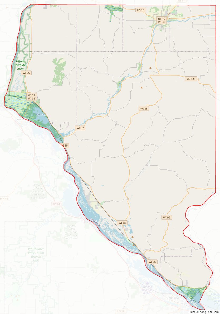
Buffalo County Road Map
Geography
According to the U.S. Census Bureau, the county has a total area of 710 square miles (1,800 km), of which 672 square miles (1,740 km) are land and 38 square miles (98 km) (5.3%) are covered by water.
Adjacent counties
- Pepin County – north
- Eau Claire County – northeast
- Trempealeau County – east
- Winona County, Minnesota – south
- Wabasha County, Minnesota – west
Major highways
Railroads
- BNSF
Buses
- List of intercity bus stops in Wisconsin
Buffalo County Topographic Map
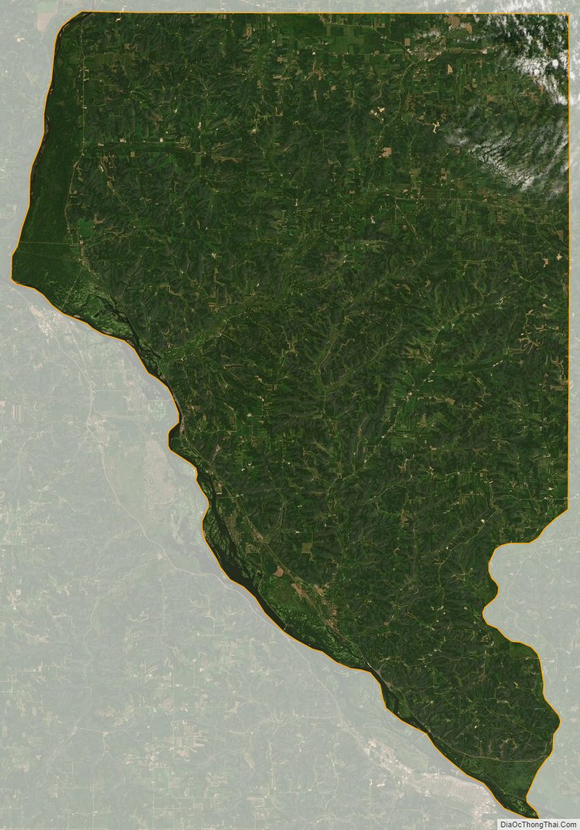
Buffalo County Satellite Map
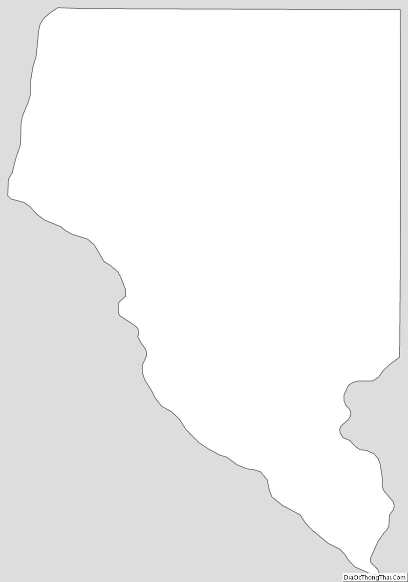
Buffalo County Outline Map