Brown County is a county in the U.S. state of Wisconsin. As of the 2020 census, the population was 268,740, making it the fourth-most populous county in Wisconsin. The county seat is Green Bay, making it one of three Wisconsin counties on Lake Michigan not to have a county seat with the same name. Brown County is part of the Green Bay, WI Metropolitan Statistical Area.
| Name: | Brown County |
|---|---|
| FIPS code: | 55-009 |
| State: | Wisconsin |
| Founded: | 1818 |
| Named for: | Jacob Brown |
| Seat: | Green Bay |
| Largest city: | Green Bay |
| Total Area: | 616 sq mi (1,600 km²) |
| Land Area: | 530 sq mi (1,400 km²) |
| Total Population: | 268,740 |
| Population Density: | 507.0/sq mi (195.8/km²) |
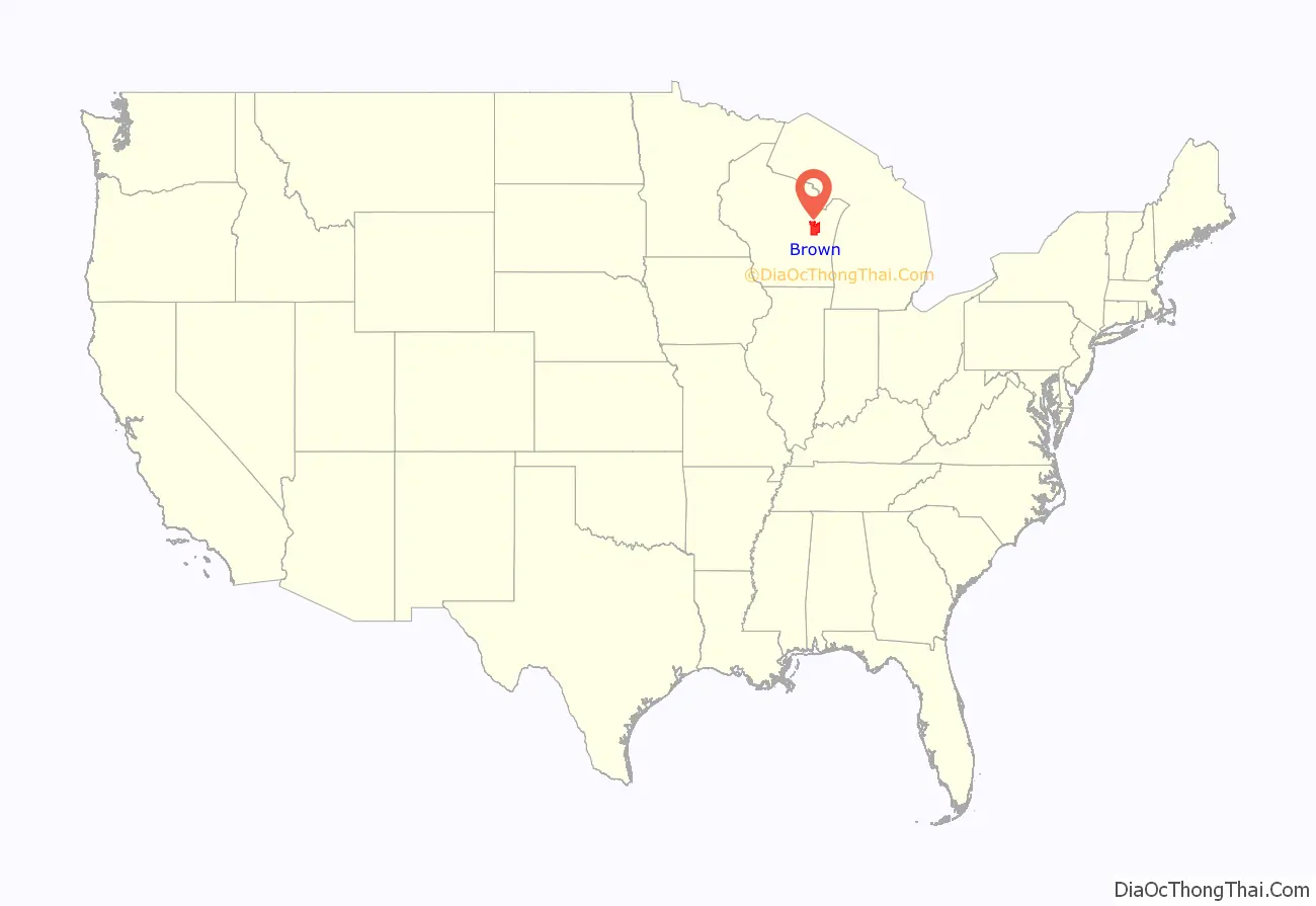
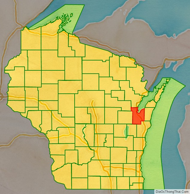
Brown County location map. Where is Brown County?
History
Brown County is one of Wisconsin’s two original counties, along with Crawford County. It originally spanned the entire eastern half of the state when formed by the Michigan Territorial legislature in 1818. It was named for Major General Jacob Brown, a military leader during the War of 1812.
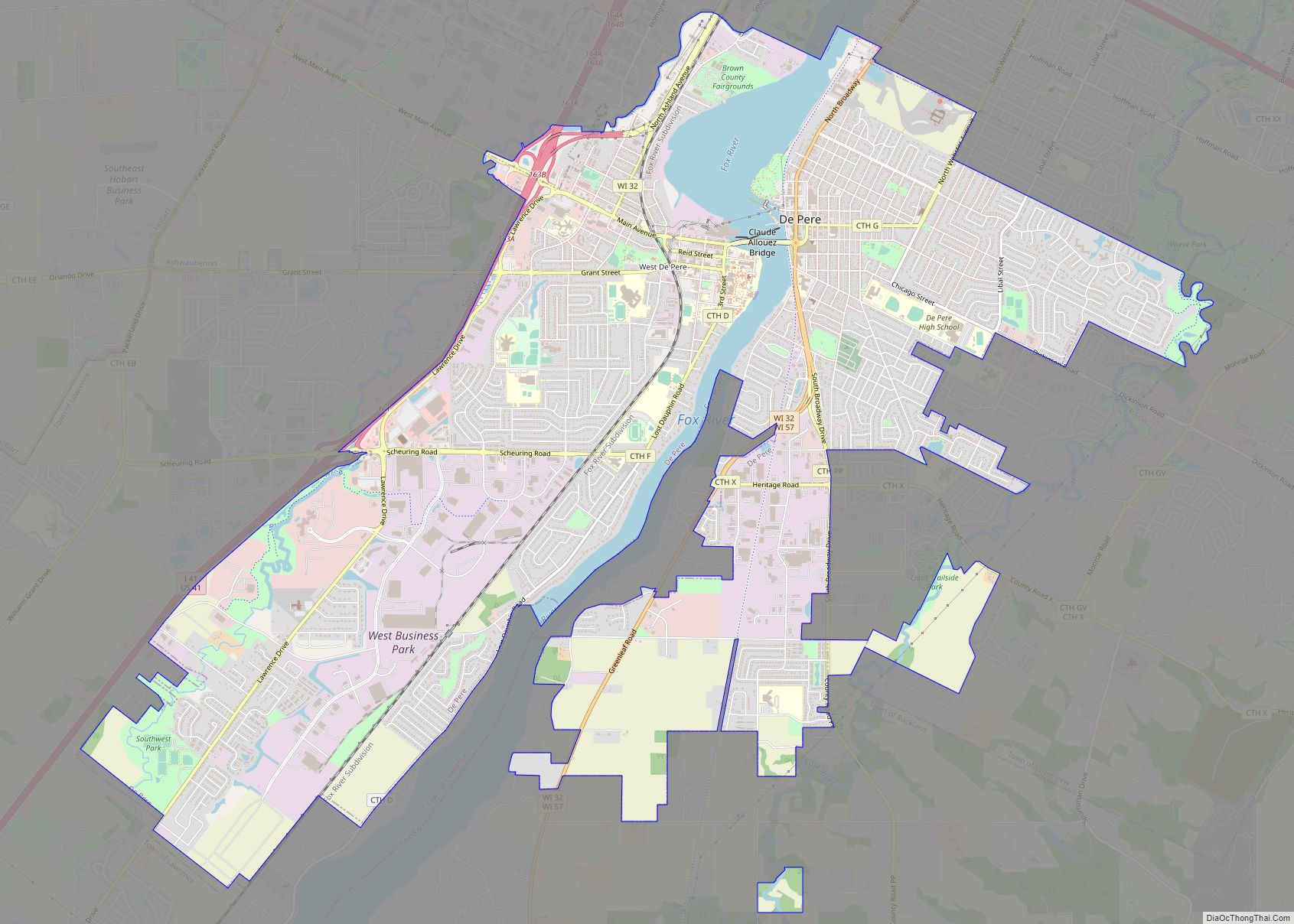
Several towns along the Fox River vied for the position of county seat in Brown County’s early years. The first county seat was located at Menomoneeville (now a part of Allouez) in 1824. In 1837, a public referendum relocated the county seat to De Pere. The location was put up for the popular vote again in 1854, resulting in the establishment of the present county seat at Green Bay.
The oldest known tree in Wisconsin, a 1,300 year-old cedar growing on the Niagara Escarpment, was found in Brown County.
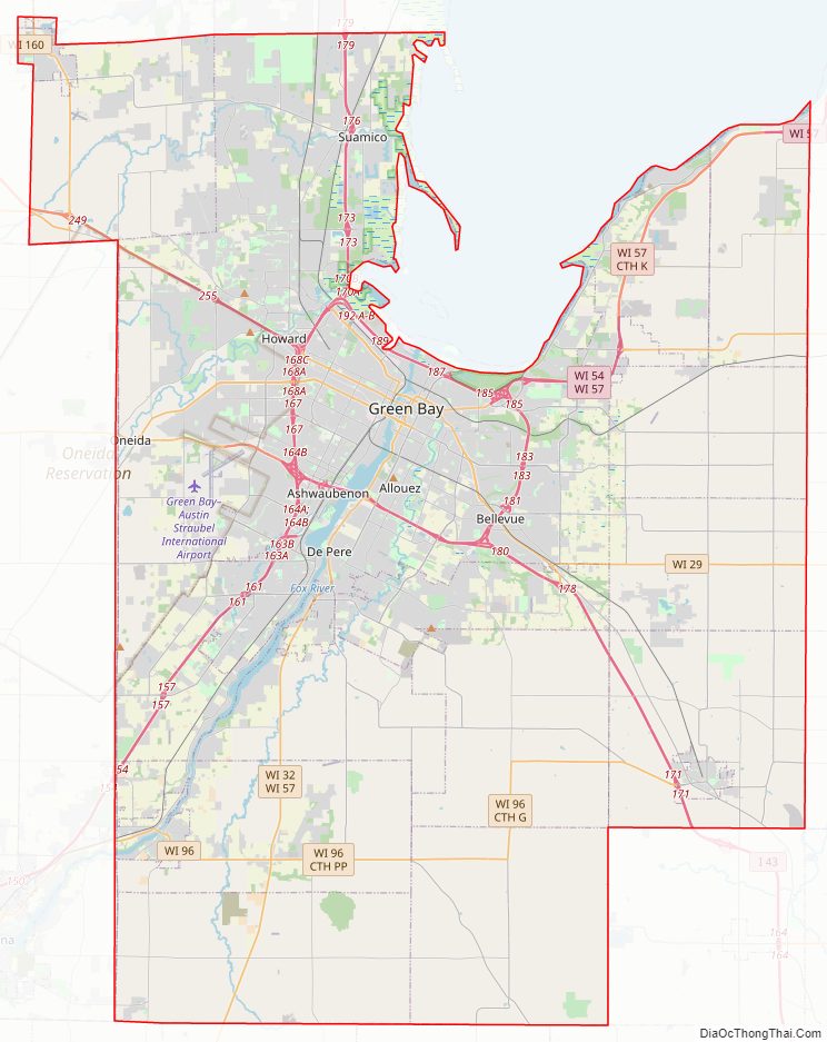
Brown County Road Map
Geography
According to the U.S. Census Bureau, the county has a total area of 616 square miles (1,600 km), of which 530 square miles (1,400 km) is land and 86 square miles (220 km) (14%) is water.
Major highways
Railroads
- Watco
- Canadian National
- Escanaba and Lake Superior Railroad
Buses
- Green Bay Metro
- List of intercity bus stops in Wisconsin
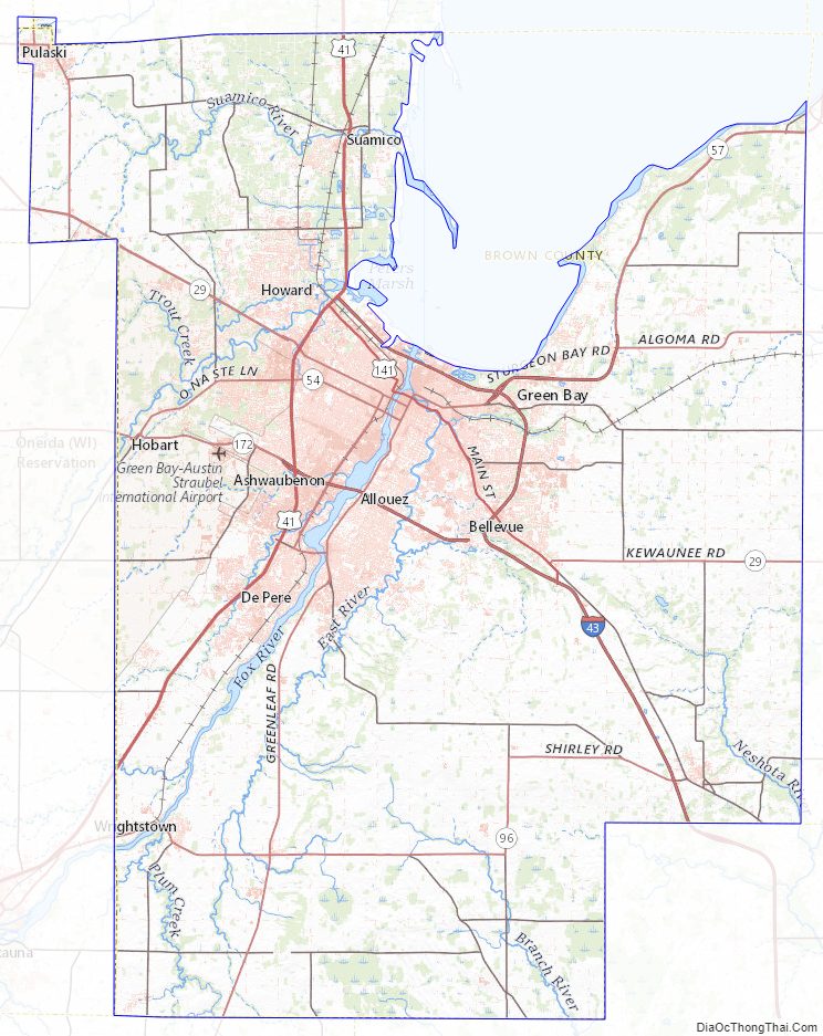
Brown County Topographic Map
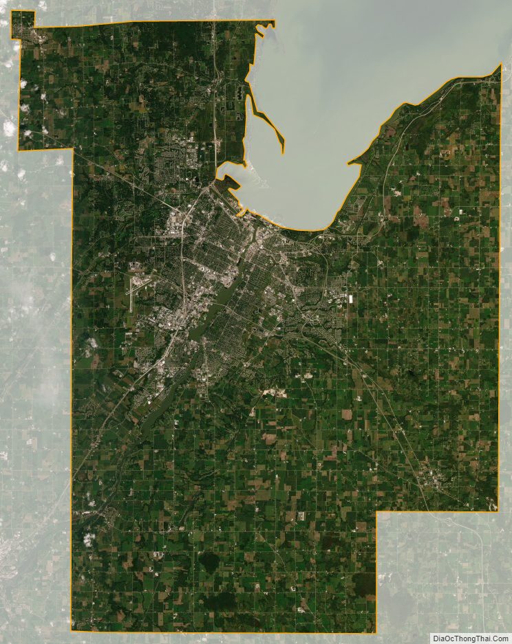
Brown County Satellite Map
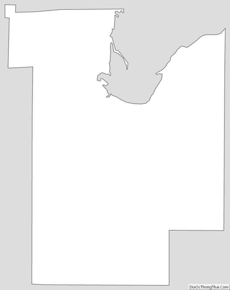
Brown County Outline Map