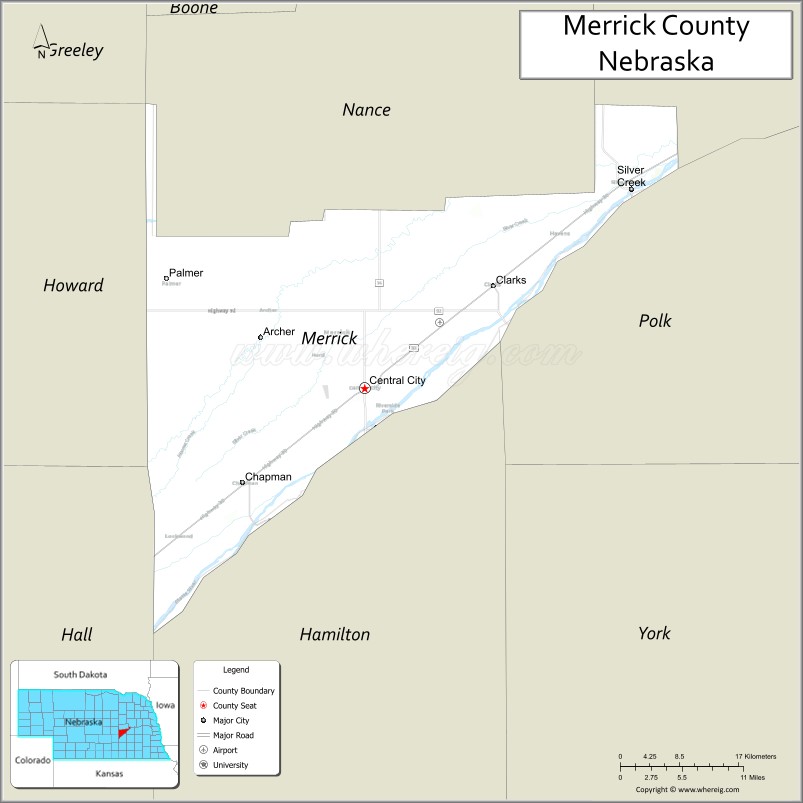
| Name: | Merrick County |
|---|---|
| FIPS code: | 31-121 |
| State: | Nebraska |
| Founded: | 1858 |
| Named for: | Elvira Merrick |
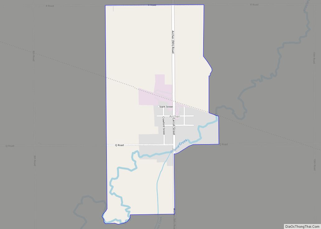
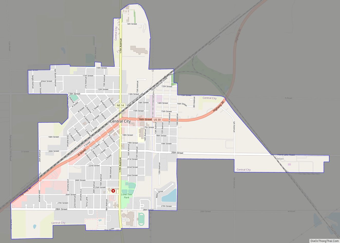
| Seat: | Central City |
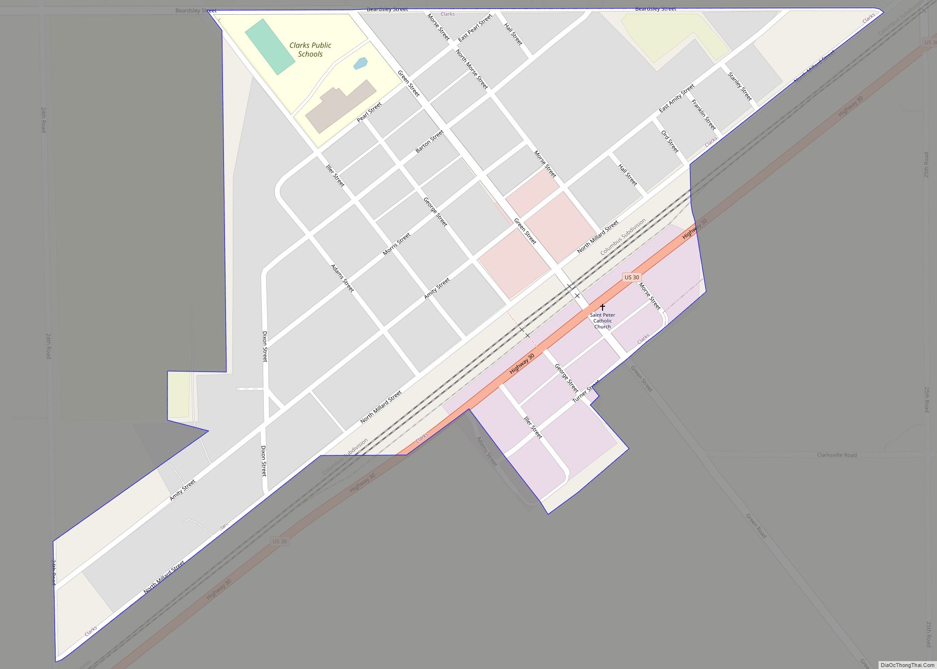
| Largest city: | Central City |
| Total Area: | 494 sq mi (1,280 km²) |
| Land Area: | 485 sq mi (1,260 km²) |
| Total Population: | 7,665 |
| Population Density: | 16.3/sq mi (6.3/km²) |
| Time zone: | UTC−6 (Central) |
| Summer Time Zone (DST): | UTC−5 (CDT) |
| Website: | merrickcounty.ne.gov |
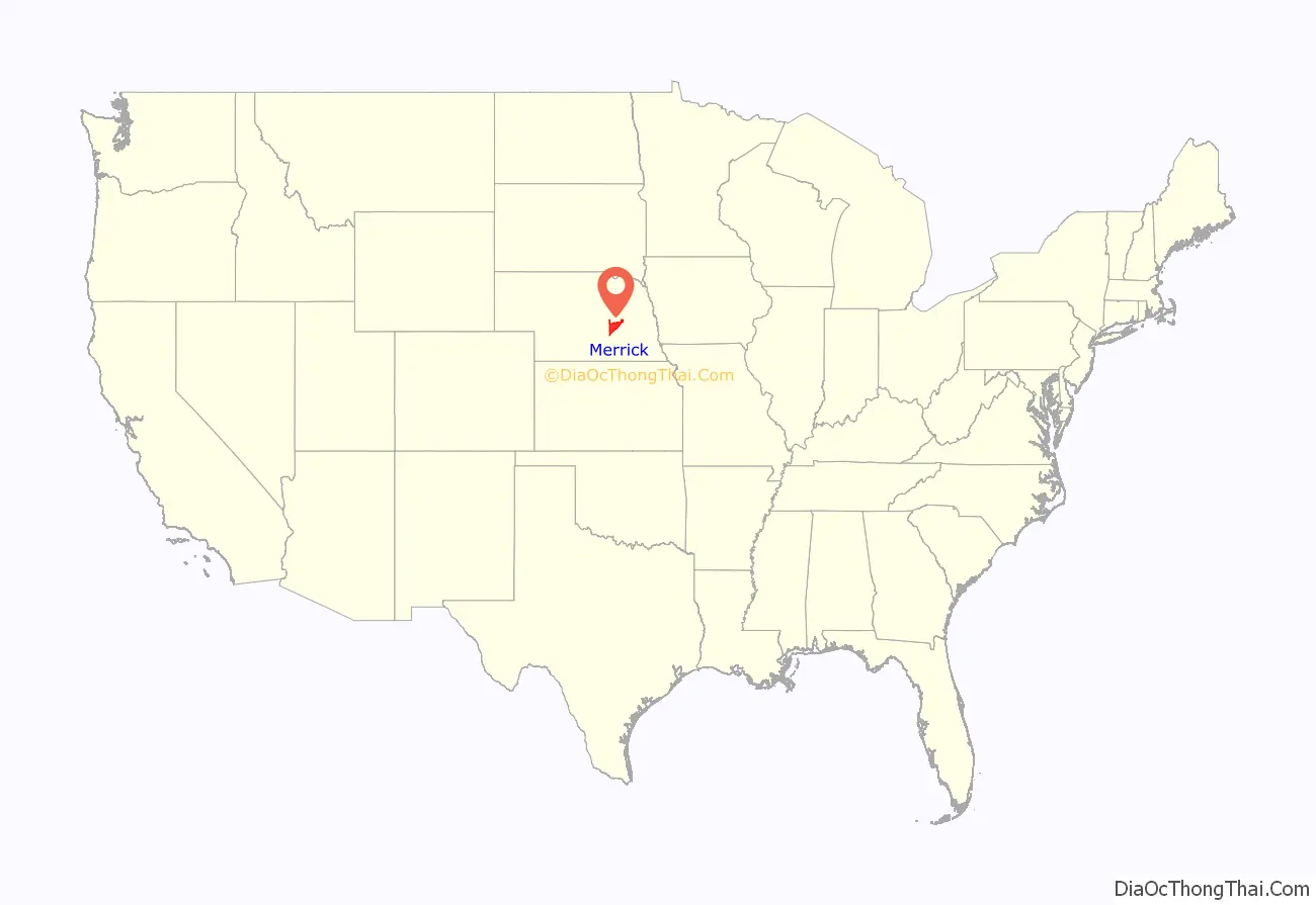
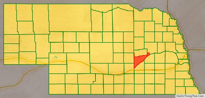
Merrick County location map. Where is Merrick County?
History
Merrick County was formed in 1858, and was organized in 1864. It was named for Elvira Merrick, the maiden name of the wife of territorial legislator Henry W. DePuy, who introduced the bill that created the county.
When first formed, the county was bounded on the south by the Platte River, and by straight lines on the north, east, and west; enclosing 180 square miles (470 km) of the Pawnee Reservation, which had been established in 1857. In 1873, the state legislature removed these reservation lands from the county, leaving it with a jagged northern border from which narrow panhandles extended northward from the northeast and northwest corners. In 1897, the Pawnee Reservation became Nance County.
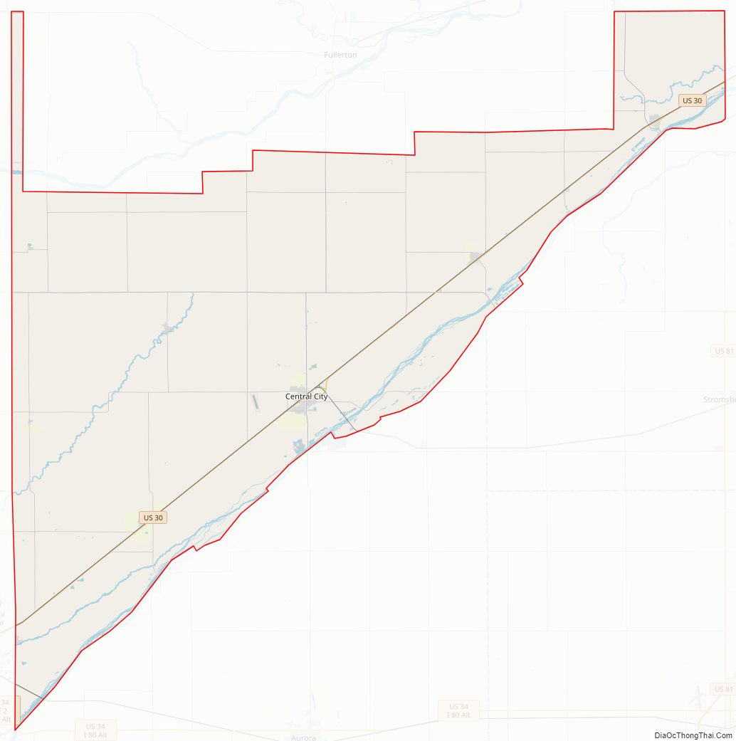
Merrick County Road Map
Geography
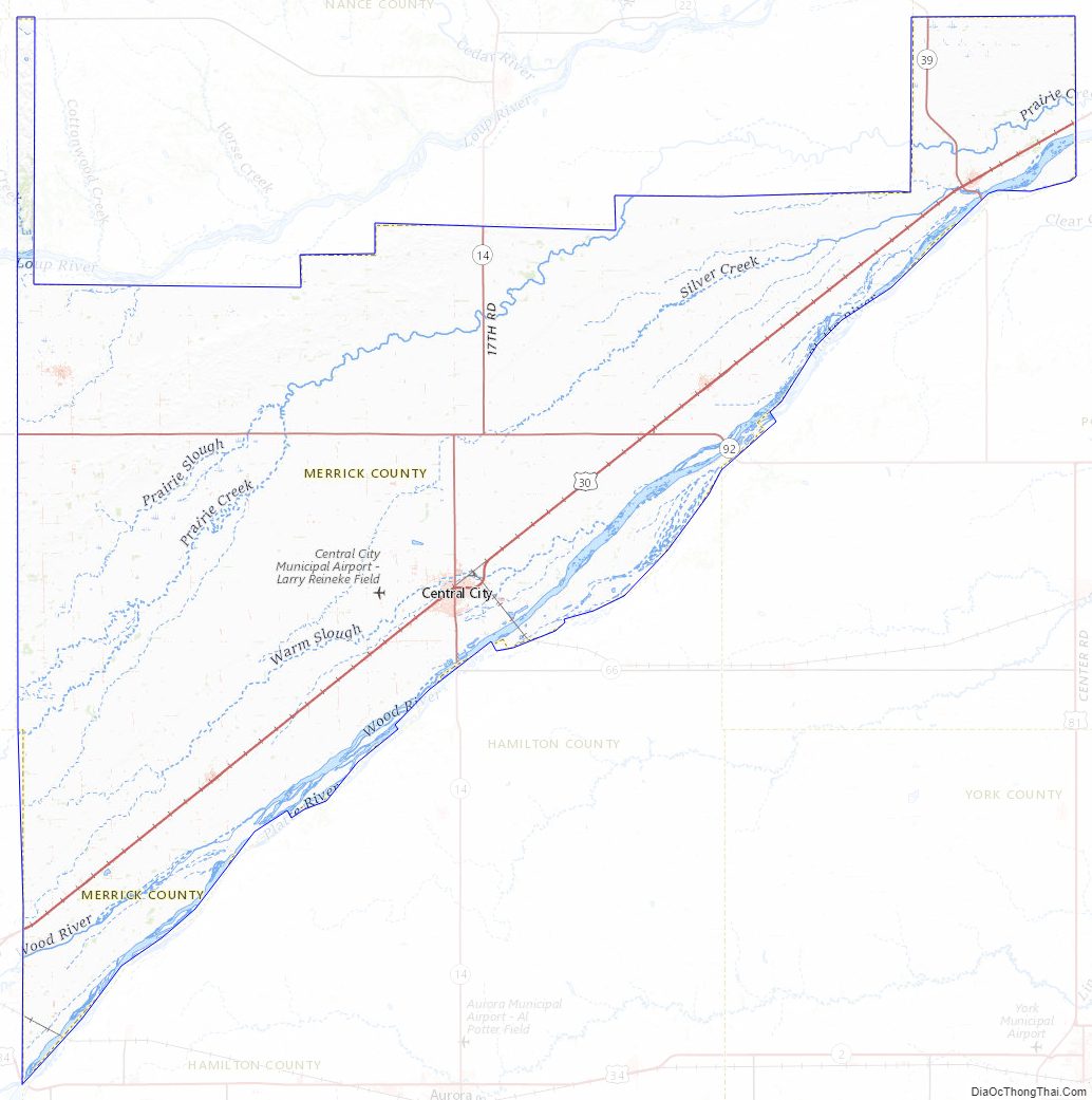
The terrain of Merrick County is low rolling plains, sloping to the east and northeast. Most of the area is under cultivation. The Platte River flows northeastward along the southeast border line of the county. A smaller drainage, Prairie Creek, parallels the river, flowing northeastward through the center of the county before discharging into the Platte River northeast of Merrick County. The county has an area of 494 square miles (1,280 km), of which 485 square miles (1,260 km) is land and 9.6 square miles (25 km) (1.9%) is water.
Major highways
- U.S. Highway 30
- Nebraska Highway 14
- Nebraska Highway 22
- Nebraska Highway 39
- Nebraska Highway 92
Adjacent counties
- Platte County – northeast
- Polk County – east
- Hamilton County – south
- Hall County – southwest
- Howard County – west
- Nance County – north
Merrick County Topographic Map
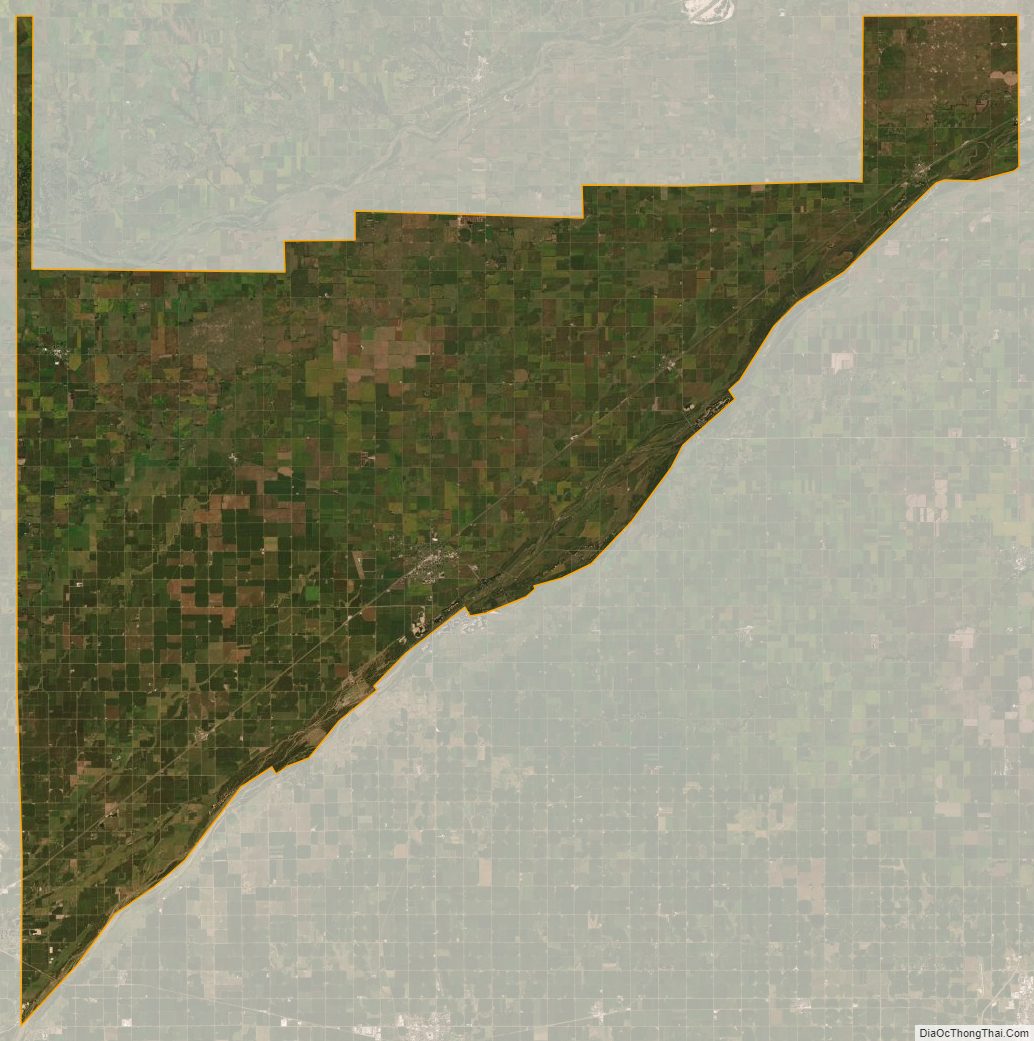
Merrick County Satellite Map
Merrick County Outline Map