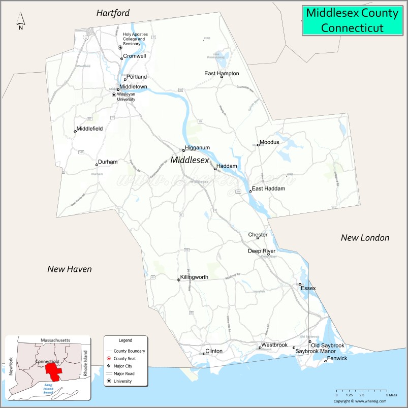
| Name: | Middlesex County |
|---|---|
| FIPS code: | 09-007 |
| State: | Connecticut |
| Founded: | May, 1785 |
| Named for: | Middlesex, England |
| Seat: | none (since 1960) Middletown (before 1960) |
| Largest city: | Middletown |
| Total Area: | 439 sq mi (1,140 km²) |
| Land Area: | 369 sq mi (960 km²) |
| Total Population: | 164,245 |
| Population Density: | 370/sq mi (140/km²) |
| Time zone: | UTC−5 (Eastern) |
| Summer Time Zone (DST): | UTC−4 (EDT) |
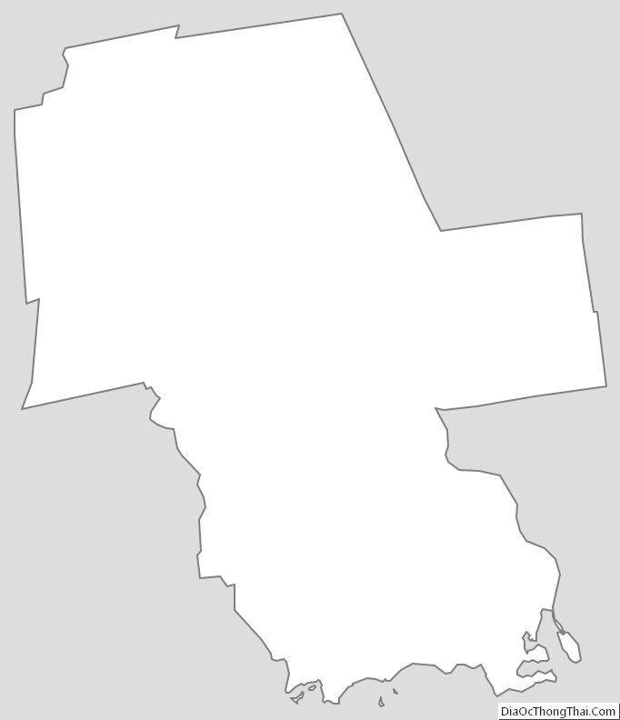
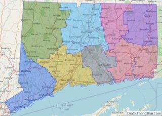
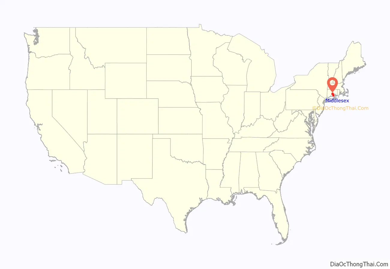
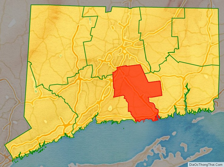
Middlesex County location map. Where is Middlesex County?
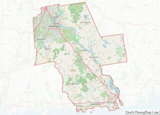
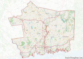
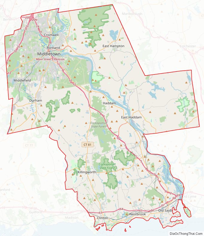
Middlesex County Road Map
Geography
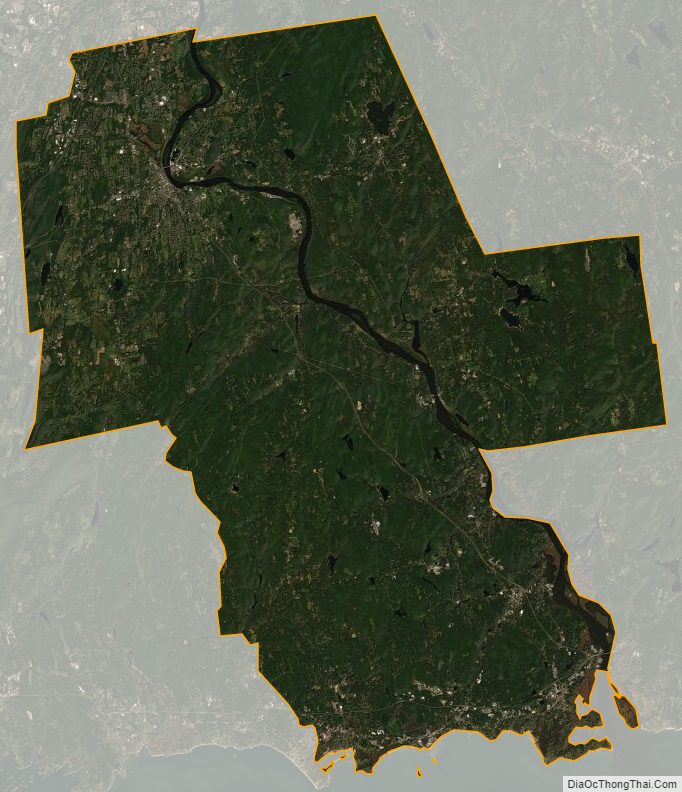
The county has a total area of 439 square miles (1,140 km), of which 369 square miles (960 km) is land and 70 square miles (180 km) (15.9%) is water. It is the smallest county in Connecticut by land area and second-smallest by total area.
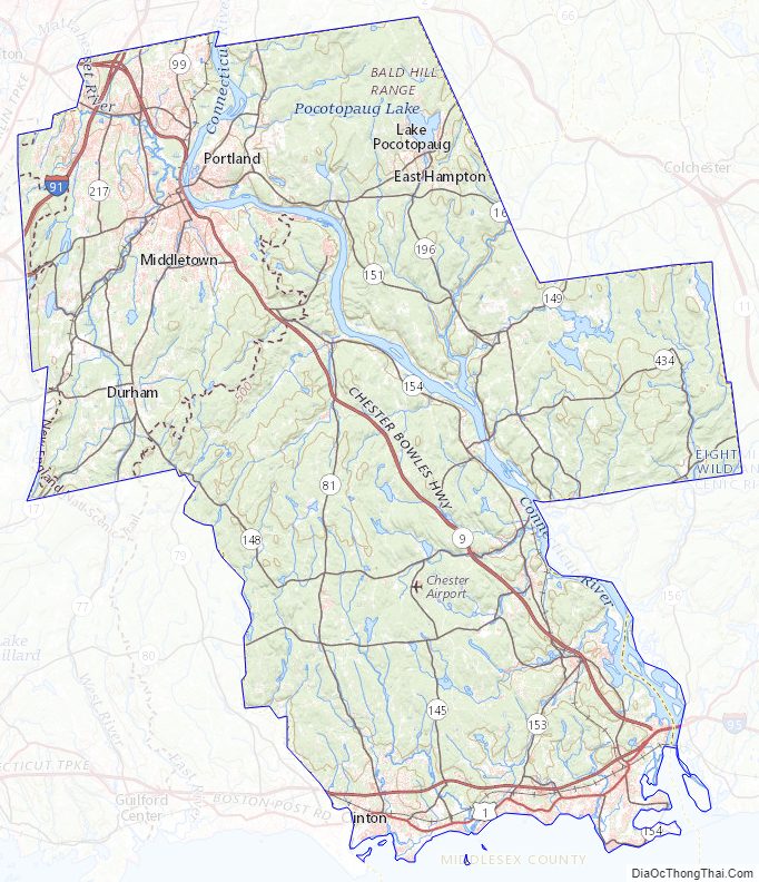
The terrain trends from mostly level along the Connecticut River and Atlantic coast to gently rolling uplands away from them. The highest elevation is close to a triangulation station in Meshomasic State Forest, at 916 feet (279 m) above sea level; the lowest point is sea level.
Middlesex County is also the home of Wadsworth Falls.
Adjacent counties
- Hartford County (north)
- New London County (east)
- New Haven County (west)
- Suffolk County, New York (south)
National protected areas
- Silvio O. Conte National Wildlife Refuge (part)
- Stewart B. McKinney National Wildlife Refuge (part)
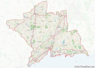
Middlesex County Topographic Map
Middlesex County Satellite Map
Middlesex County Outline Map