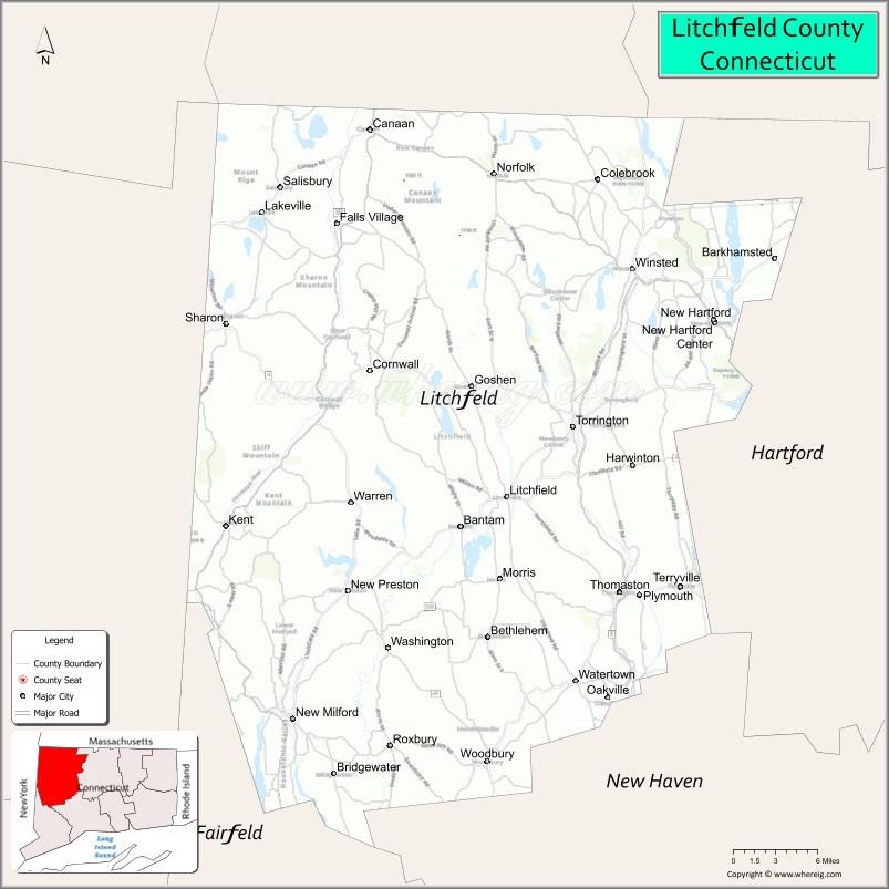
| Name: | Litchfield County |
|---|---|
| FIPS code: | 09-005 |
| State: | Connecticut |
| Founded: | 1751 |
| Named for: | Lichfield, England |
| Seat: | none (since 1960) Litchfield (before 1960) |
| Largest city: | Torrington |
| Total Area: | 945 sq mi (2,450 km²) |
| Land Area: | 921 sq mi (2,390 km²) |
| Total Population: | 185,186 |
| Population Density: | 196.0/sq mi (75.7/km²) |
| Time zone: | UTC−5 (Eastern) |
| Summer Time Zone (DST): | UTC−4 (EDT) |
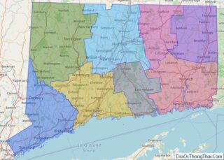
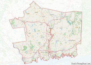
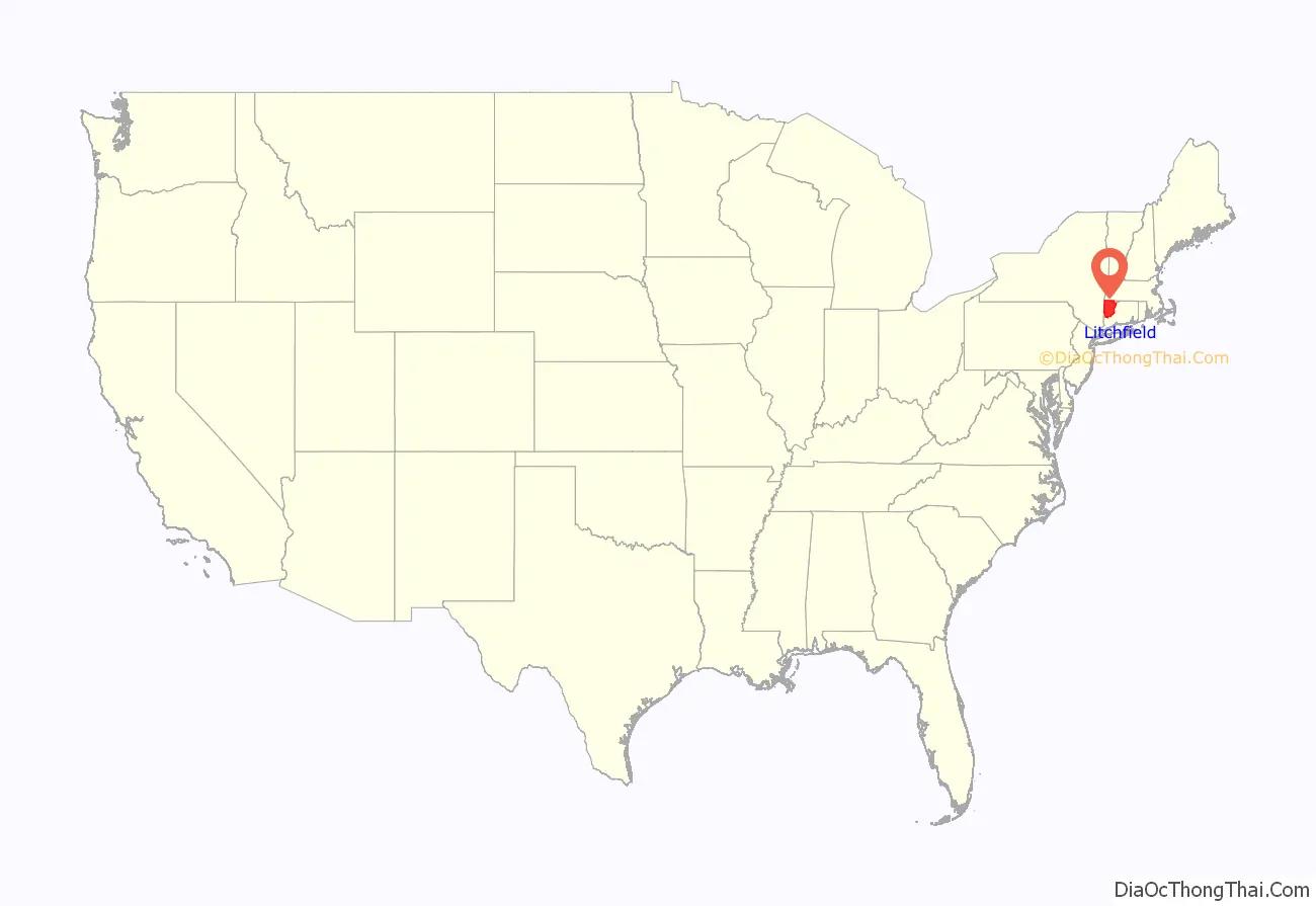
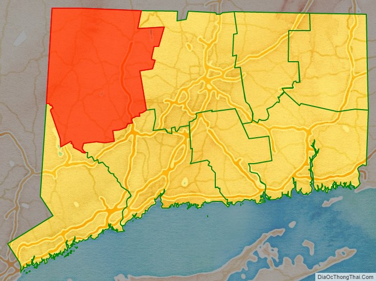
Litchfield County location map. Where is Litchfield County?
History
Litchfield County was created on October 9, 1751, by an act of the Connecticut General Court from land belonging to Fairfield, New Haven, and Hartford counties. The act establishing the county states:
Between 1780 and 1807, several new towns were created at the boundaries between Litchfield County and other counties in Connecticut. The town of Watertown was established in 1780 from Waterbury and was placed under Litchfield County jurisdiction. The establishment of the town of Brookfield from part of New Milford in 1788 resulted in Litchfield County losing territory to Fairfield County. In 1796, the town of Hartland was transferred to Hartford County. In 1798, the town of Oxford was established from part of Southbury causing Litchfield County to lose territory to New Haven County. In 1807, the town of Southbury was transferred to New Haven County. The final boundary change occurred on October 8, 1807, when the town of Middlebury was established from part of Woodbury.
In 1862, during the Civil War, Litchfield County raised the 2nd Connecticut Regiment of Volunteers Heavy Artillery. This regiment, originally the 19th Connecticut Volunteer Infantry, served in the defense of Washington, D.C. from September 1862 to March 1864, at which time it was transferred to the Army of the Potomac. On June 1, 1864, the 2nd Connecticut Heavy Artillery fought as infantry (as it continued to do through the war) in the Battle of Cold Harbor, experiencing the heaviest proportionate losses of any Connecticut regiment in the Civil War. The regiment remained active to the end of the war, and its final mustering out September 5, 1865.
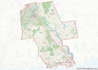
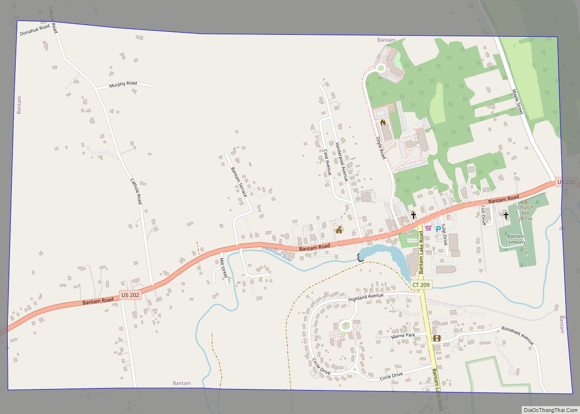
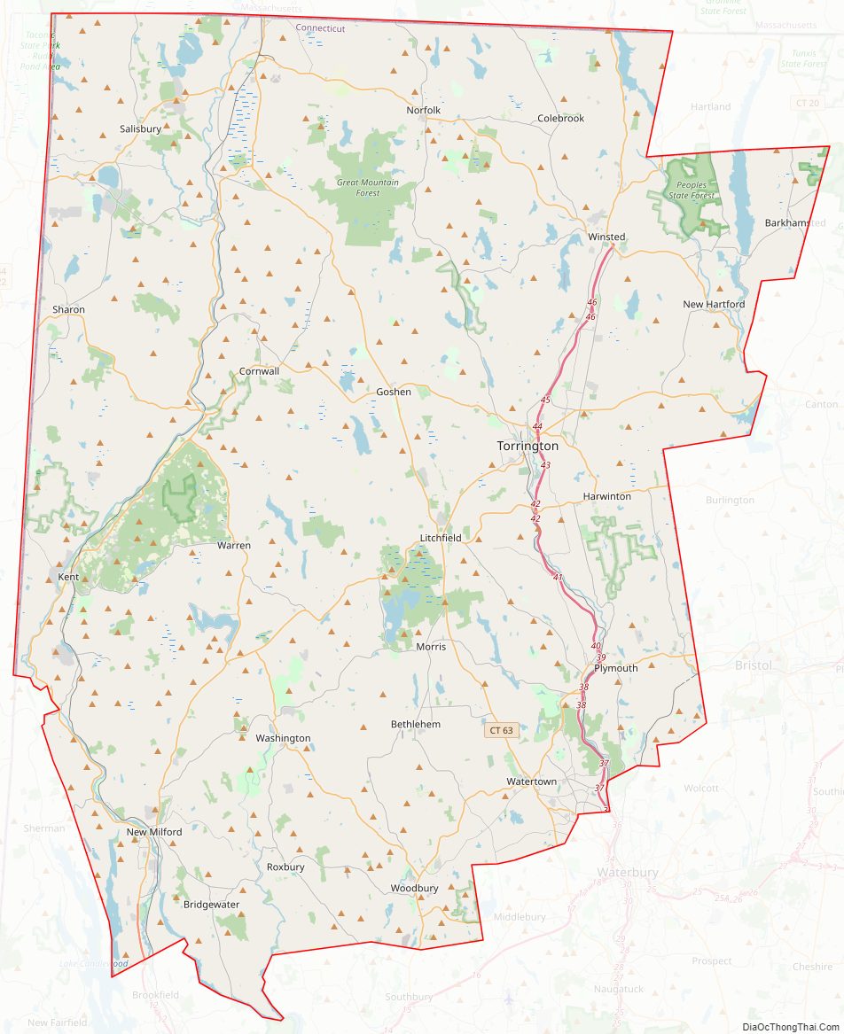
Litchfield County Road Map
Geography
According to the U.S. Census Bureau, the county has a total area of 945 square miles (2,450 km), of which 921 square miles (2,390 km) is land and 24 square miles (62 km) (2.5%) is water. It is the largest county in Connecticut by area. Litchfield County is roughly contiguous with the portion of the Appalachian Mountains range known as the Berkshire Mountains (sometimes locally, this area is called the Litchfield Hills).
Adjacent counties
- Berkshire County, Massachusetts (north)
- Hampden County, Massachusetts (northeast)
- Hartford County (east)
- New Haven County (southeast)
- Fairfield County (south)
- Dutchess County, New York (west)
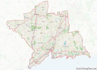
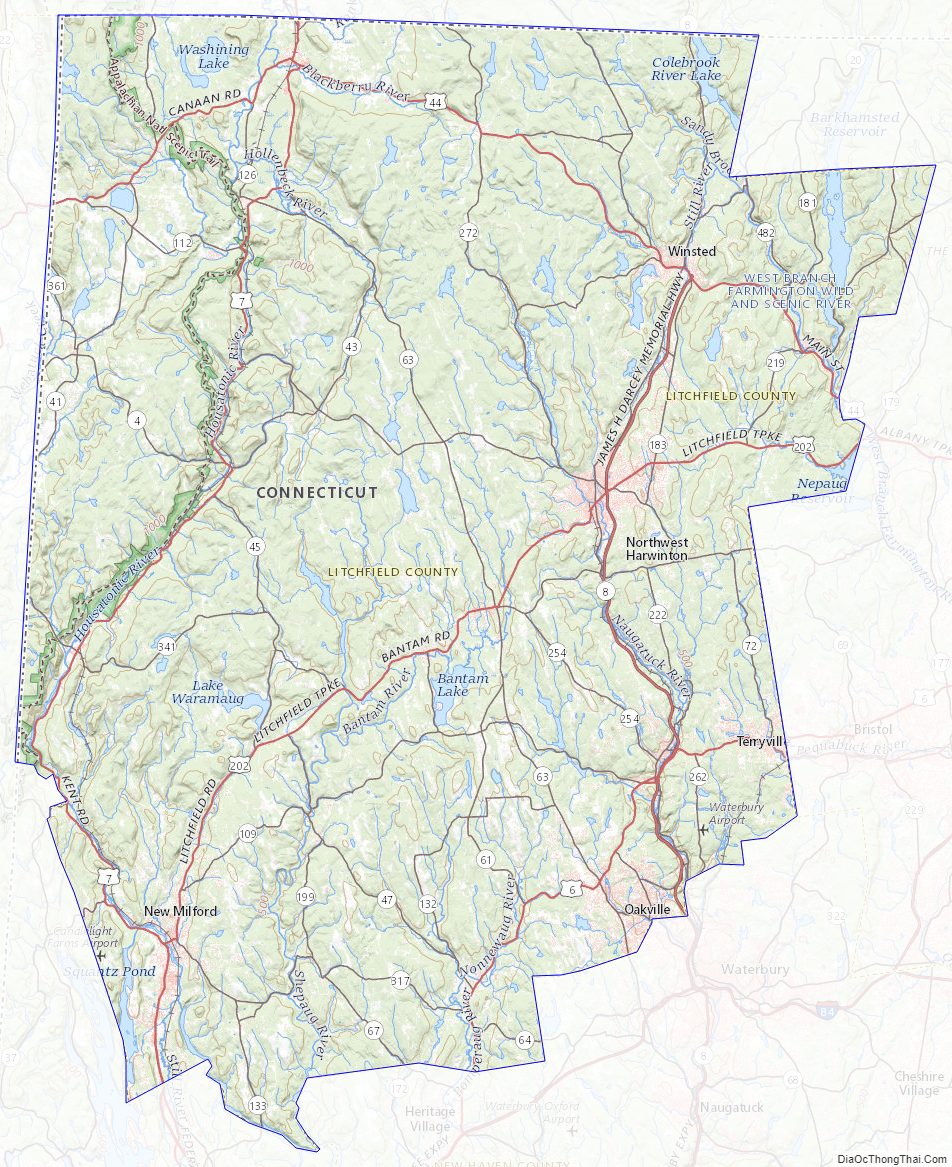
Litchfield County Topographic Map
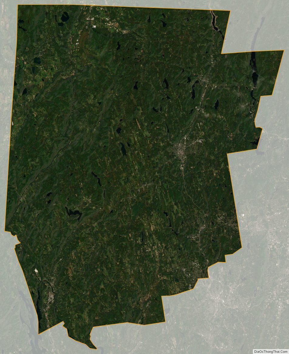
Litchfield County Satellite Map
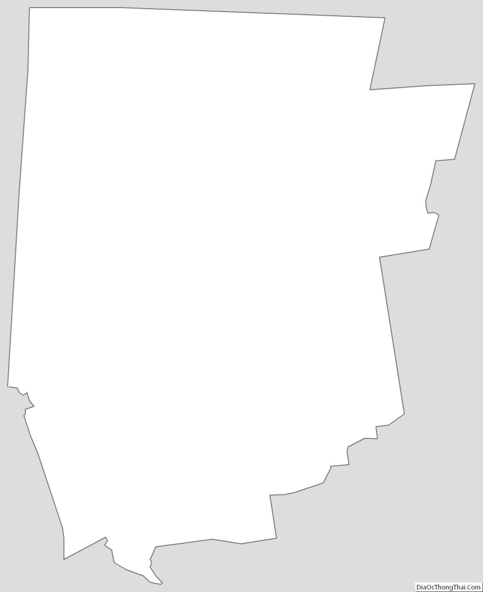
Litchfield County Outline Map