| Name: | Hartford County |
|---|---|
| FIPS code: | 09-003 |
| State: | Connecticut |
| Founded: | May 10, 1666 |
| Named for: | Hertfordshire, England |
| Seat: | none (since 1960), Hartford (before 1960) |
| Total Area: | 750 sq mi (1,900 km²) |
| Land Area: | 735 sq mi (1,900 km²) |
| Total Population: | 899,498 |
| Population Density: | 1,199.3/sq mi (463.1/km²) |
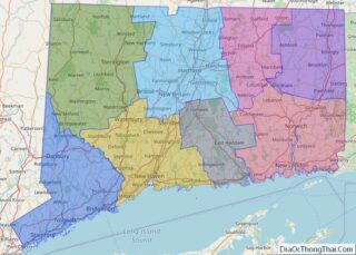
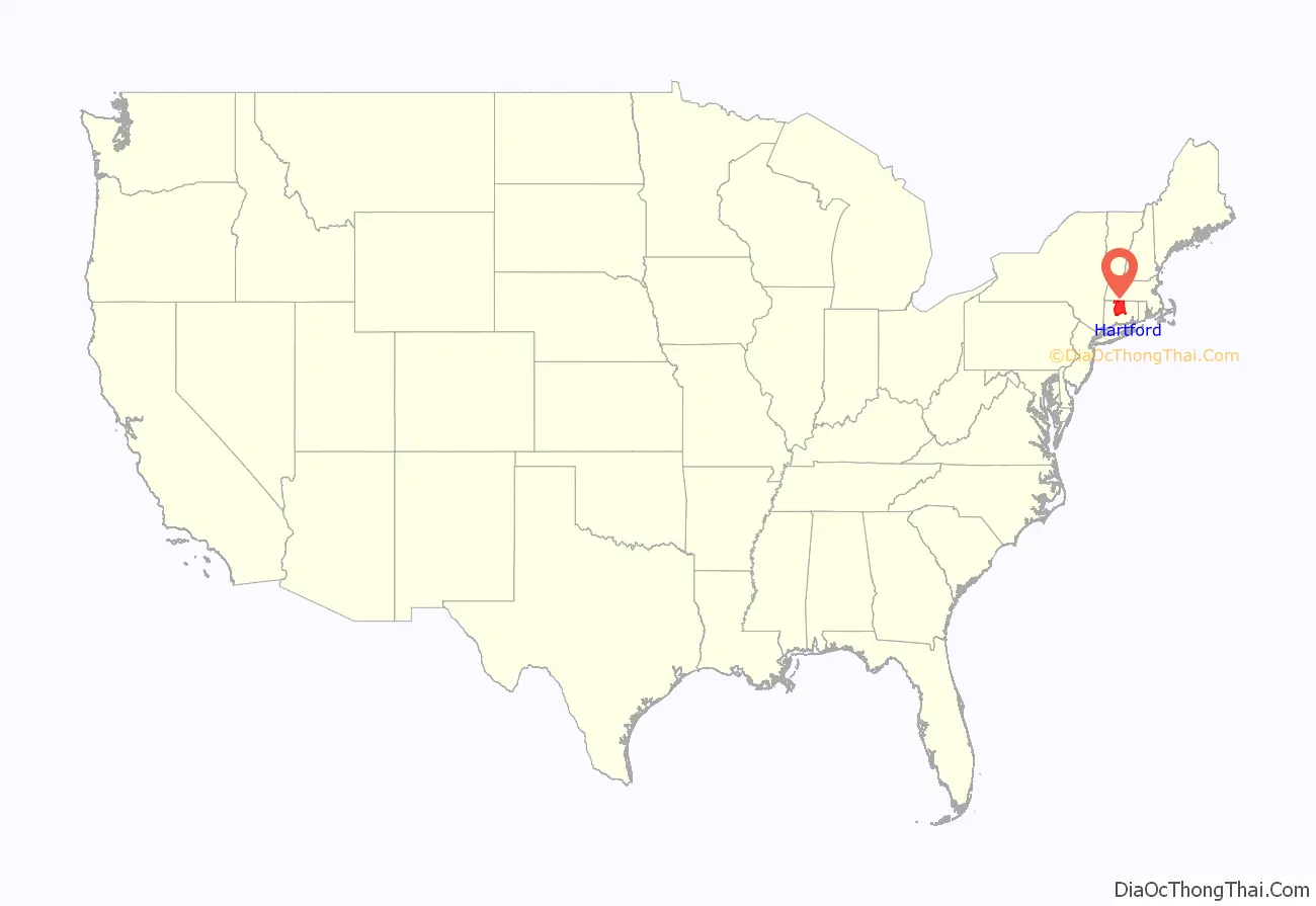
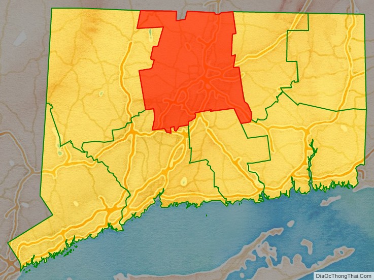
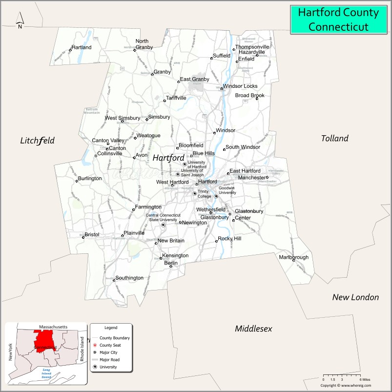
Hartford County location map. Where is Hartford County?
History
Hartford County was one of four original counties in Connecticut established on May 10, 1666, by an act of the Connecticut General Court. The act establishing the county states:
As established in 1666, Hartford County consisted of the towns of Windsor, Wethersfield, Hartford, Farmington, and Middletown. The “Thirty Miles Island” referred to in the constituting Act was incorporated as the town of Haddam in 1668. In 1670, the town of Simsbury was established, extending Hartford County to the Massachusetts border. In the late 17th to early 18th centuries, several more towns were established and added to Hartford County: Waterbury in 1686 (transferred to New Haven County in 1728), Windham in 1694 (transferred to Windham County in 1726), Hebron in 1708 (transferred to Tolland County in 1785), Coventry in 1712 (transferred to Windham County in 1726), and Litchfield in 1722 (transferred to Litchfield County in 1751).
In 1714, all of the unincorporated territory north of the towns of Coventry and Windham in northeastern Connecticut to the Massachusetts border were placed under the jurisdiction of Hartford County. Windham County was constituted in 1726, resulting in Hartford County losing the towns of Windham, Coventry, Mansfield (incorporated in 1702), and Ashford (incorporated in 1714). Northwestern Connecticut, which was originally placed under the jurisdiction of New Haven County in 1722, was transferred to Hartford County by 1738. All of northwestern Connecticut was later constituted as the new Litchfield County in 1751. In 1785, two more counties were established in what was now the U.S. state of Connecticut: Tolland and Middlesex. This mostly resulted in the modern extent of Hartford County. In the late 18th and early 19th centuries, the establishment of several more towns resulted in minor adjustments in the bounds of the county. The final adjustment resulting in the modern limits occurred on May 8, 1806, when the town of Canton was established.
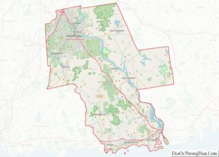
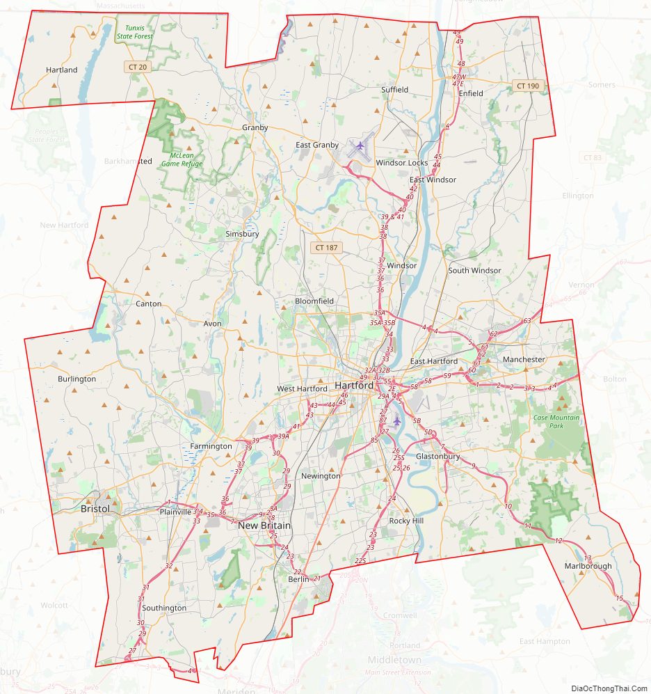
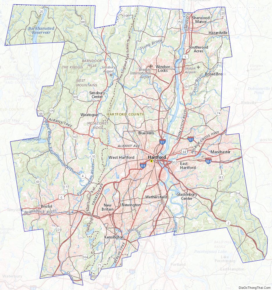
Hartford County Road Map
Geography
According to the U.S. Census Bureau in 2010, the county had a total area of 751 square miles (1,950 km), of which 735 square miles (1,900 km) is land and 16 square miles (41 km) (2.1%) is water. It is the second-largest county in Connecticut by land area.
The county is divided into two unequal parts by the Connecticut River, and watered by Farmington, Mill, Podunk, Scantic, and other rivers. The surface is very diverse: part of the river valleys are alluvial and subject to flooding, while other portions of the county are hilly and even mountainous.
Adjacent counties
- Hampden County, Massachusetts (north)
- Tolland County (east)
- New London County (southeast)
- Middlesex County (south)
- New Haven County (southwest)
- Litchfield County (west)
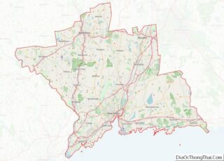
Hartford County Topographic Map
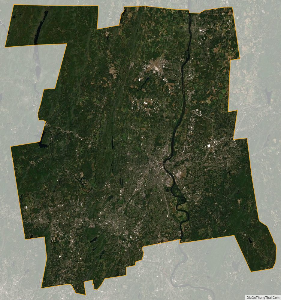
Hartford County Satellite Map
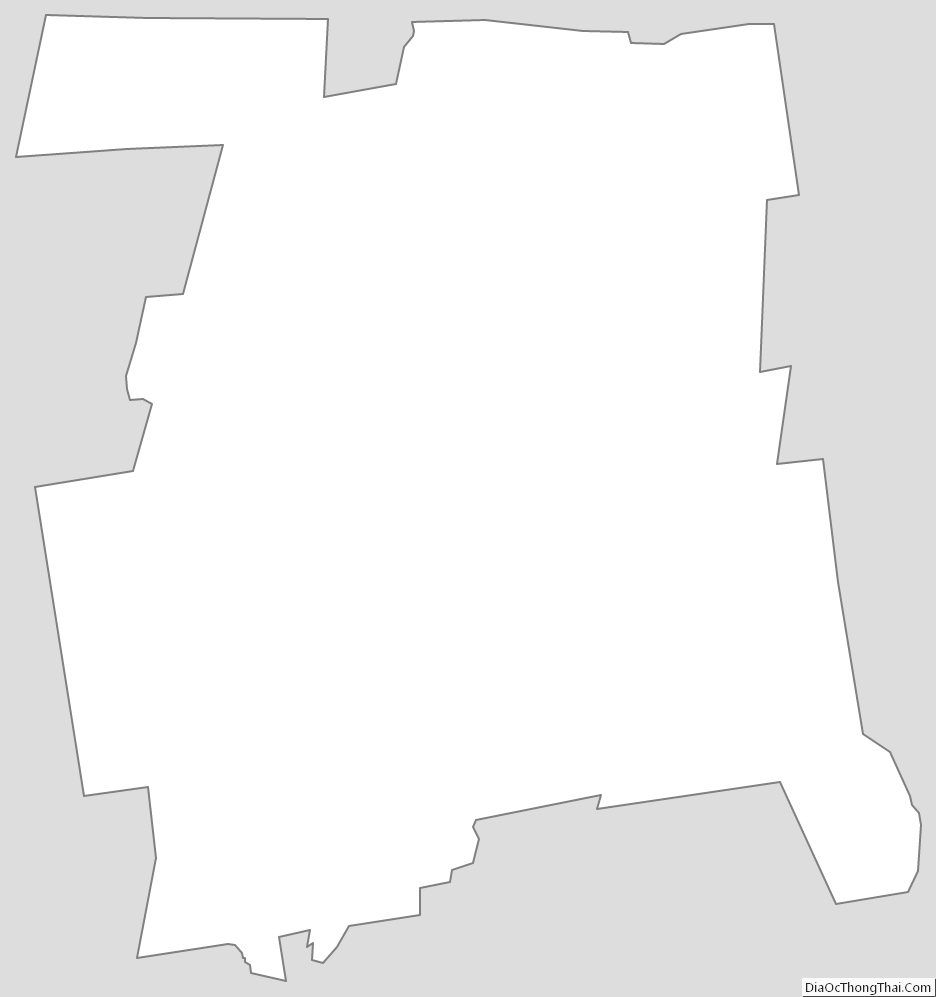
Hartford County Outline Map