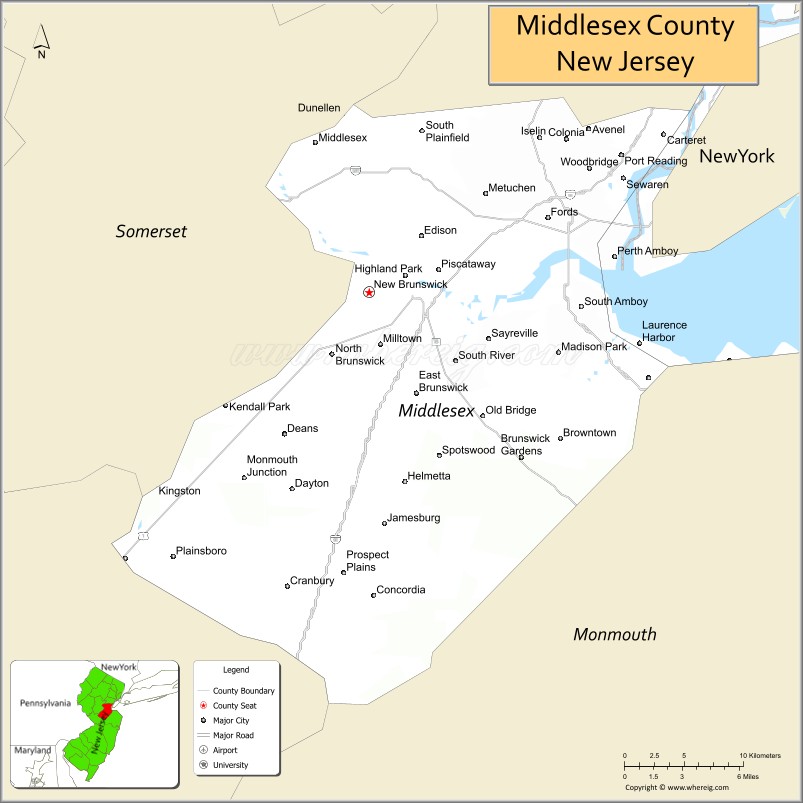
| Name: | Middlesex County |
|---|---|
| FIPS code: | 34-023 |
| State: | New Jersey |
| Founded: | 1683 |
| Named for: | Historic English county of Middlesex |
| Seat: | New Brunswick |
| Largest city: | Edison (population) Monroe Township (area) |
| Total Area: | 322.83 sq mi (836.1 km²) |
| Land Area: | 308.91 sq mi (800.1 km²) |
| Total Population: | 863,162 (3rd in NJ) |
| Population Density: | 2,794.2/sq mi (1,078.8/km²) |
| Time zone: | UTC−5 (Eastern) |
| Summer Time Zone (DST): | UTC−4 (EDT) |
| Website: | www.co.middlesex.nj.us |
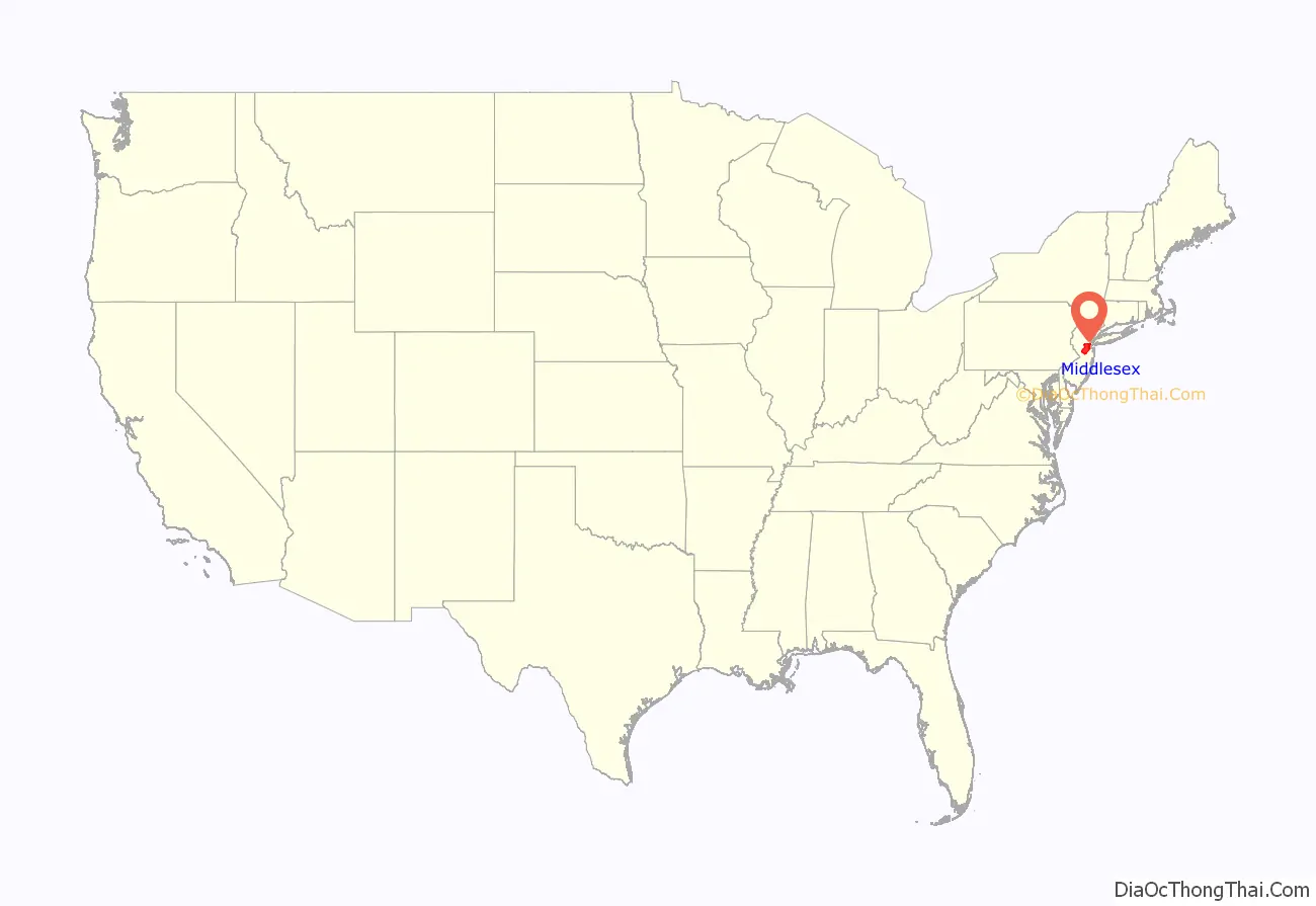
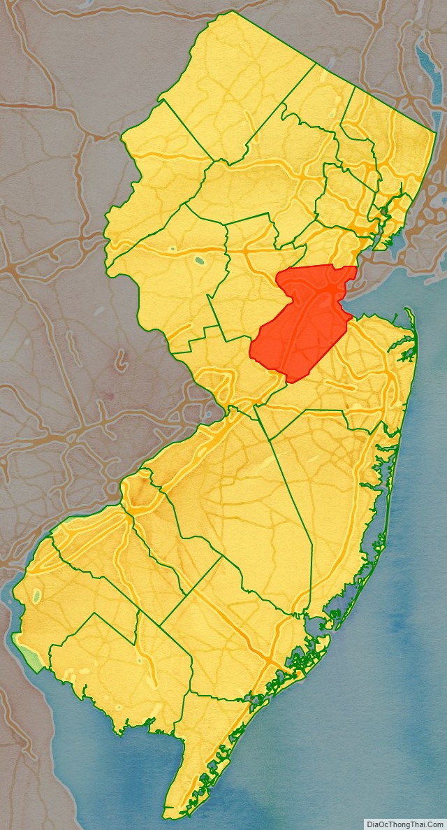
Middlesex County location map. Where is Middlesex County?
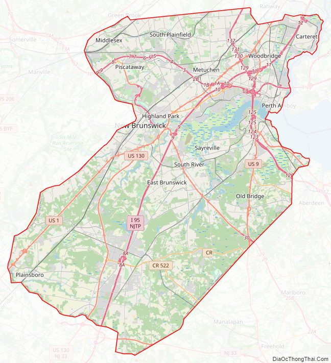
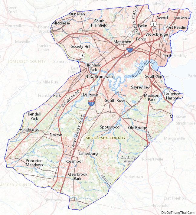
Middlesex County Road Map
Geography
Middlesex has a hot-summer humid continental climate (Dfa) which borders a humid subtropical climate (Cfa) on Raritan Bay and Arthur Kill. Average monthly temperatures in downtown New Brunswick range from 31.7 °F in January to 75.6 °F in July, while in South Amboy they range from 32.3 °F in January to 75.9 °F in July. [1] In recent years, average temperatures in the county seat of New Brunswick have ranged from a low of 22 °F (−6 °C) in January to a high of 86 °F (30 °C) in July, although a record low of −13 °F (−25 °C) was recorded in January 1984 and a record high of 103 °F (39 °C) was recorded in July 1999. Average monthly precipitation ranged from 2.98 inches (76 mm) in February to 5.08 inches (129 mm) in July.
According to the 2010 Census, the county had a total area of 322.83 square miles (836.1 km), including 308.91 square miles (800.1 km) of land (95.7%) and 13.91 square miles (36.0 km) of water (4.3%). The county is named after the historic English county of Middlesex.
Bisected by the Raritan River, the county is topographically typical of Central Jersey in that it is largely flat. The majority of the county is located on the inner coastal plain, with the remainder of the county being located on the Eastern Piedmont. The elevation ranges from sea level to 300 feet (91 m) above sea level on a hill scaled by Major Road/ Sand Hill Road near Route 1 in South Brunswick Township.
Middlesex County Topographic Map
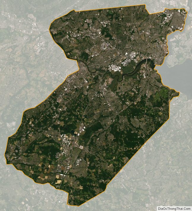
Middlesex County Satellite Map
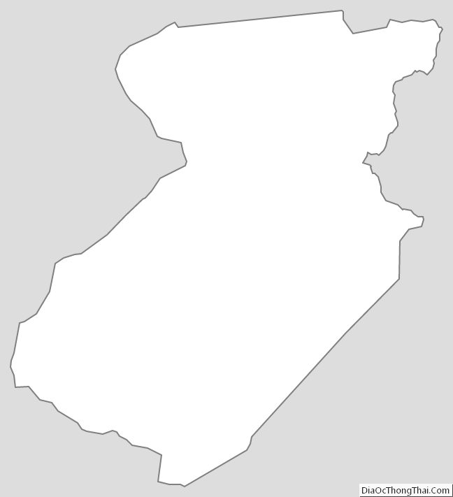
Middlesex County Outline Map