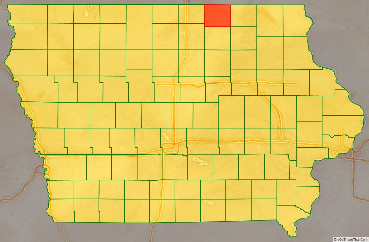
Mitchell County is a county located in the U.S. state of Iowa. As of the 2020 census, the population was 10,565. The county seat is Osage. It is not clear whom the county is named after: the county website mentions John Mitchell, an early surveyor, and an Irish patriot John Mitchel.
| Name: | Mitchell County |
|---|---|
| FIPS code: | 19-131 |
| State: | Iowa |
| Founded: | 1851 |
| Named for: | John Mitchel |
| Seat: | Osage |
| Largest city: | Osage |
| Total Area: | 470 sq mi (1,200 km²) |
| Land Area: | 469 sq mi (1,210 km²) |
| Total Population: | 10,565 |
| Population Density: | 22/sq mi (8.7/km²) |
| Time zone: | UTC−6 (Central) |
| Summer Time Zone (DST): | UTC−5 (CDT) |
| Website: | mitchellcounty.iowa.gov |
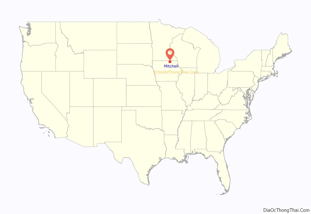
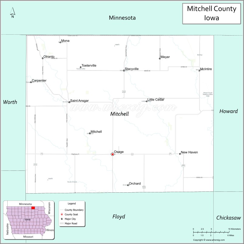
Mitchell County location map. Where is Mitchell County?
History
Mitchell County was founded in 1851. It was named after John Mitchel, an Irish patriot. The county’s courthouse was completed in 1858, and it is listed on the National Register of Historic Places. The courthouse has since been razed.
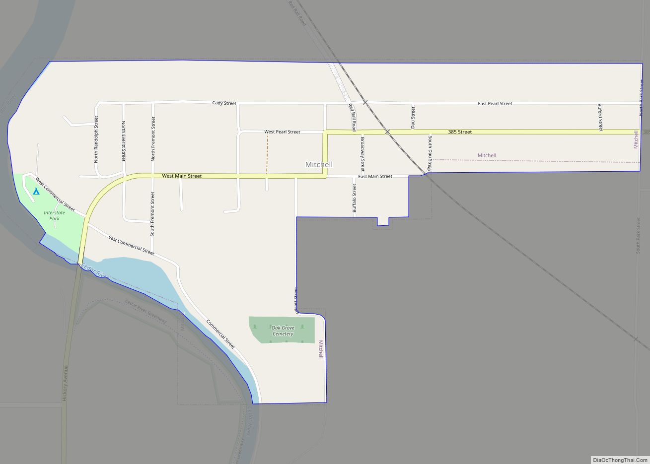
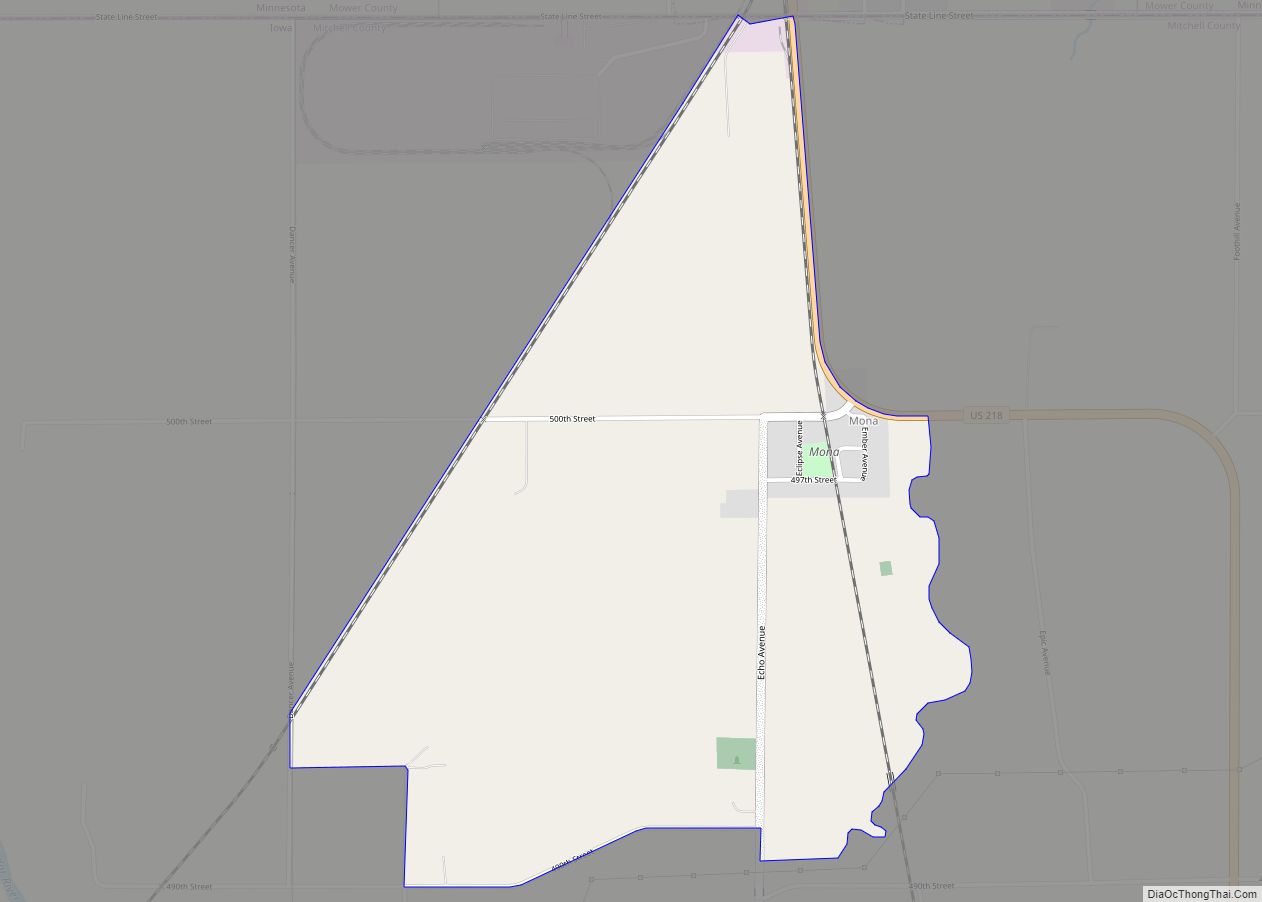
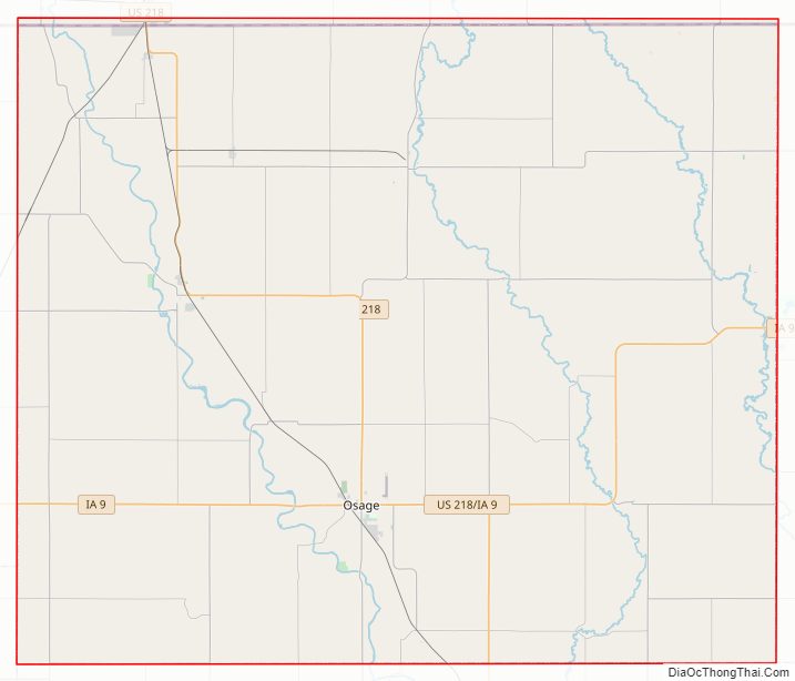
Mitchell County Road Map
Geography
According to the U.S. Census Bureau, the county has a total area of 470 square miles (1,200 km), of which 469 square miles (1,210 km) is land and 0.4 square miles (1.0 km) (0.09%) is water.
Major highways
- U.S. Highway 218
- Iowa Highway 9
Adjacent counties
- Mower County, Minnesota (north)
- Howard County (east)
- Floyd County (south)
- Cerro Gordo County (southwest)
- Worth County (west)
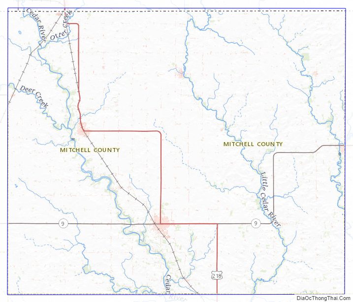
Mitchell County Topographic Map
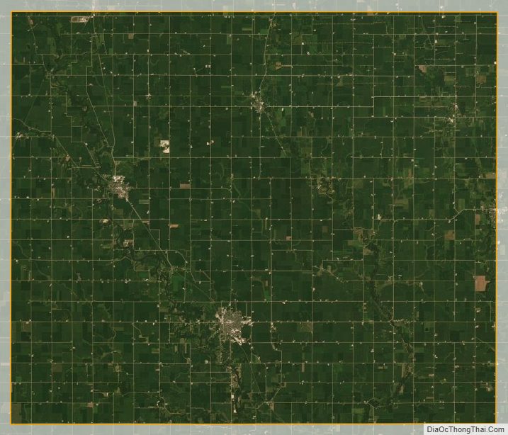
Mitchell County Satellite Map
Mitchell County Outline Map