Noble County is a county located in the U.S. state of Ohio. As of the 2020 census, the population was 14,115, making it the fourth-least populous county in Ohio. Its county seat is Caldwell. The county is named for Rep. Warren P. Noble of the Ohio House of Representatives, who was an early settler there.
| Name: | Noble County |
|---|---|
| FIPS code: | 39-121 |
| State: | Ohio |
| Founded: | April 1, 1851 |
| Named for: | either James Noble or Warren P. Noble |
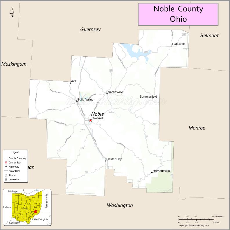
| Seat: | Caldwell |
| Total Area: | 405 sq mi (1,050 km²) |
| Land Area: | 398 sq mi (1,030 km²) |
| Total Population: | 14,115 |
| Population Density: | 35/sq mi (13/km²) |
| Time zone: | UTC−5 (Eastern) |
| Summer Time Zone (DST): | UTC−4 (EDT) |
| Website: | noblecountyohio.gov |
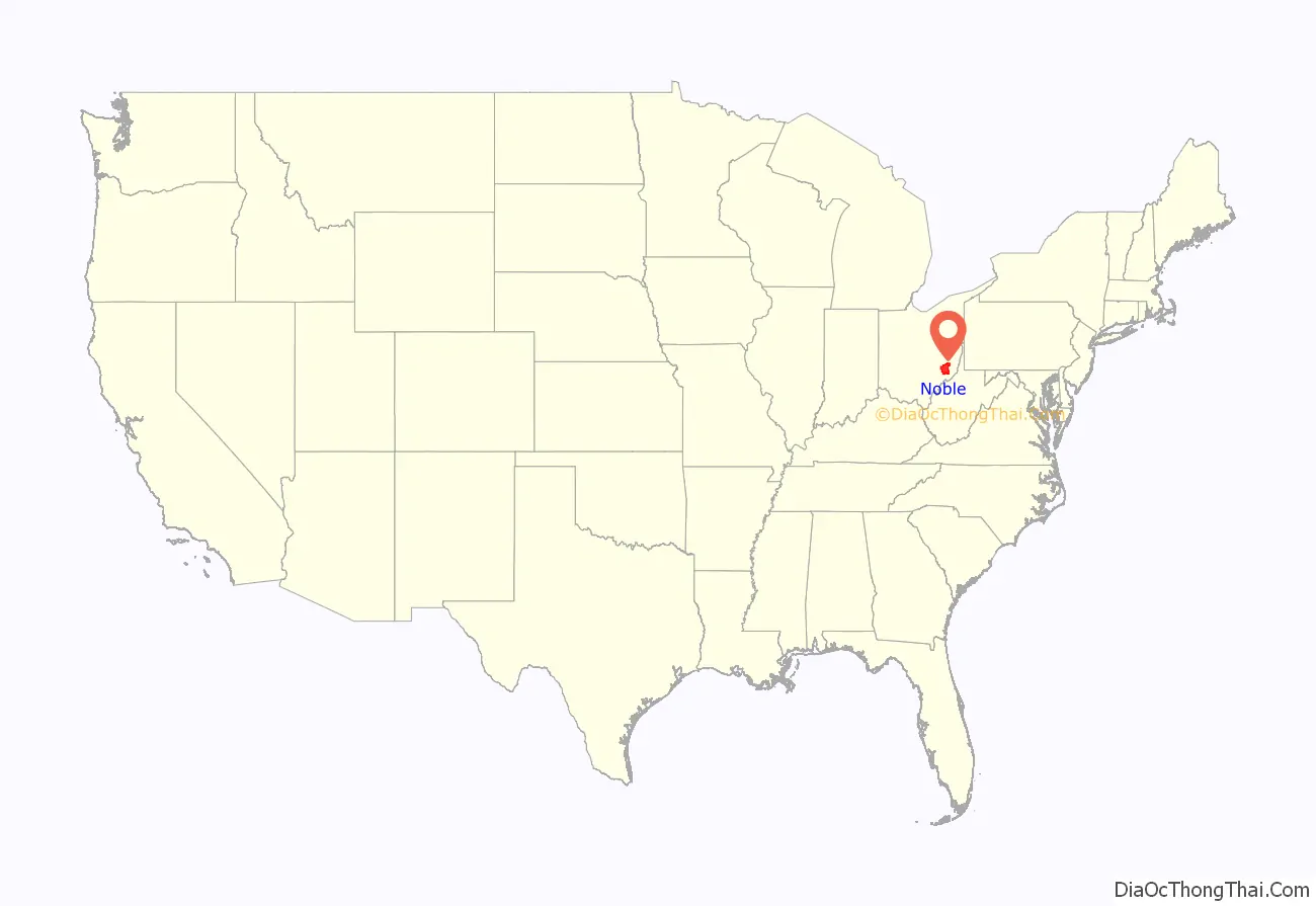
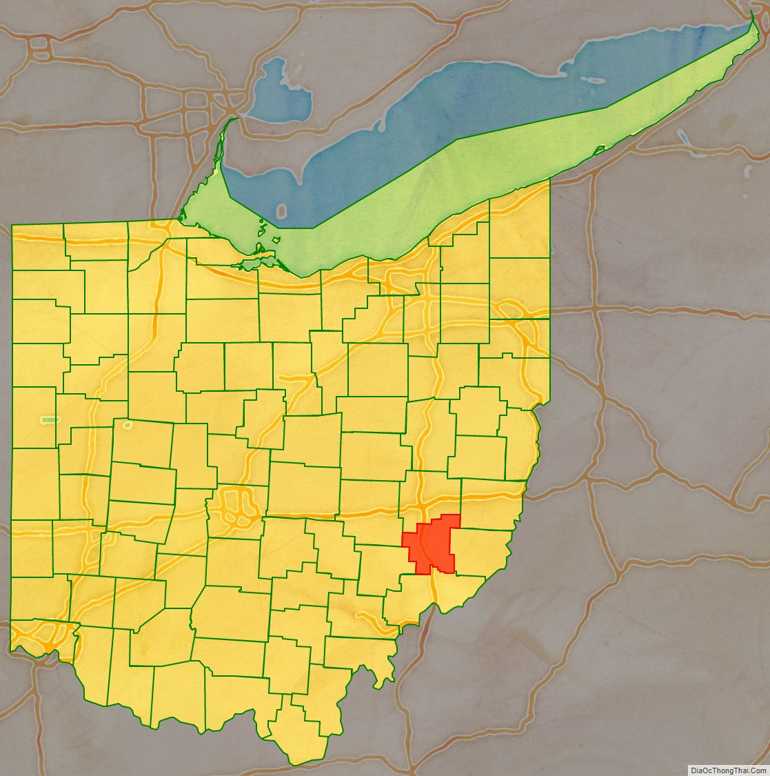
Noble County location map. Where is Noble County?
History
Noble County was formed on March 11, 1851, from portions of Guernsey, Morgan, Monroe and Washington counties. It was the last and youngest county to be formed in the state. It was named for either James Noble or Warren P. Noble, each of whom was an early settler in this region.
Noble County was home to the first North American oil well, the Thorla-McKee Well, which struck oil in 1814. For a time this was a center of oil production in the state.
In 1925, a United States Navy dirigible, USS Shenandoah (ZR-1), was caught in a storm over Noble County. It broke into several pieces, resulting in the deaths of 14 persons on board; 29 survived.
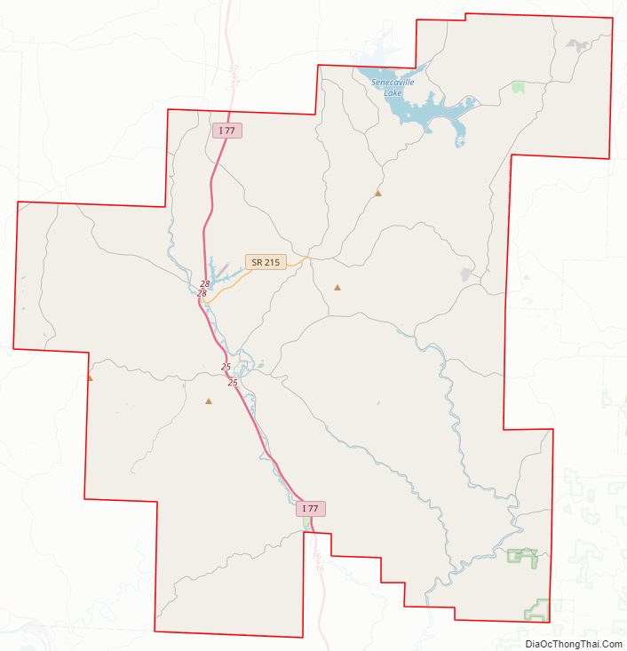
Noble County Road Map
Geography
According to the United States Census Bureau, the county has a total area of 405 square miles (1,050 km), of which 398 square miles (1,030 km) is land and 6.6 square miles (17 km) (1.6%) is water.
Adjacent counties
- Guernsey County (north)
- Belmont County (northeast)
- Monroe County (east)
- Washington County (south)
- Morgan County (west)
- Muskingum County (northwest)
National protected area
- Wayne National Forest (part)
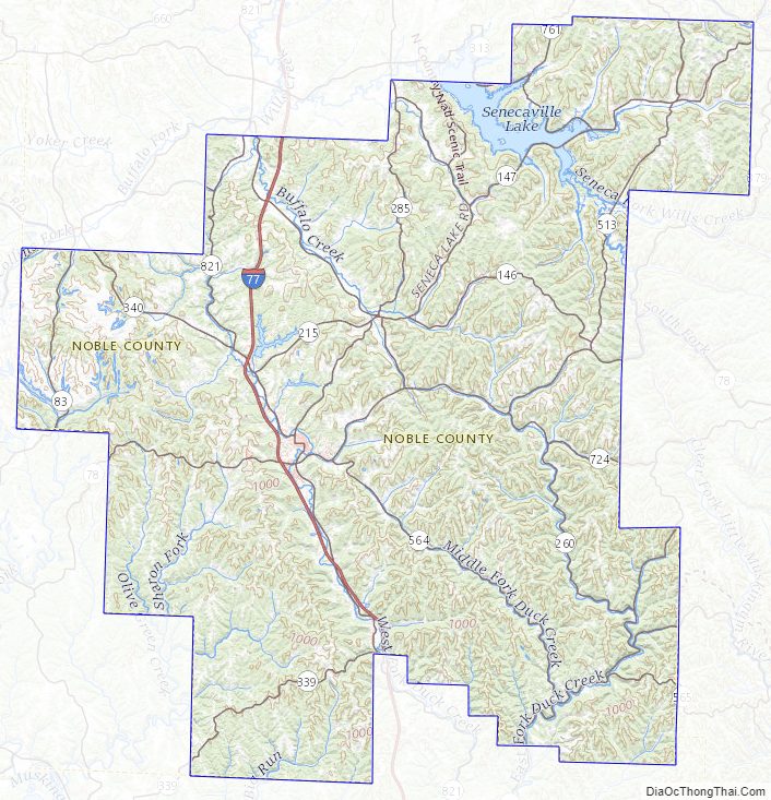
Noble County Topographic Map
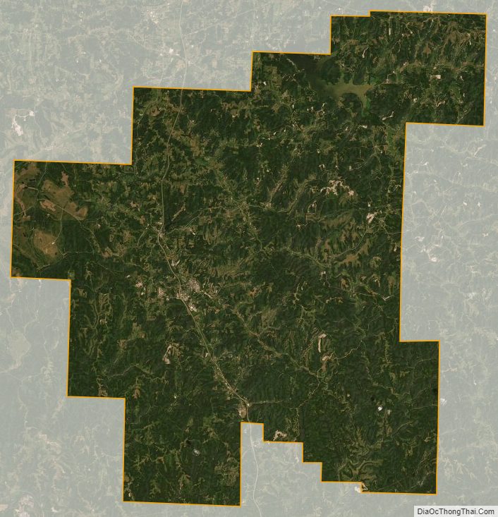
Noble County Satellite Map
Noble County Outline Map