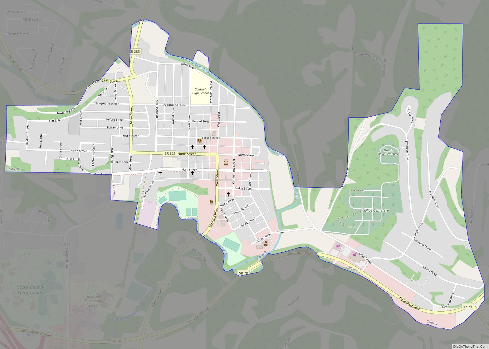
Caldwell is a village and the county seat of Noble County, Ohio, United States. It is located along the West Fork of Duck Creek about 23 miles (37 km) north of Marietta. The population was 1,691 at the 2020 census.
| Name: | Caldwell village |
|---|---|
| LSAD Code: | 47 |
| LSAD Description: | village (suffix) |
| State: | Ohio |
| County: | Noble County |
| Elevation: | 741 ft (226 m) |
| Total Area: | 0.90 sq mi (2.34 km²) |
| Land Area: | 0.89 sq mi (2.30 km²) |
| Water Area: | 0.01 sq mi (0.03 km²) |
| Total Population: | 1,691 |
| Population Density: | 1,902.14/sq mi (734.46/km²) |
| ZIP code: | 43724 |
| Area code: | 740 |
| FIPS code: | 3910940 |
| GNISfeature ID: | 1038609 |
Online Interactive Map
Click on ![]() to view map in "full screen" mode.
to view map in "full screen" mode.
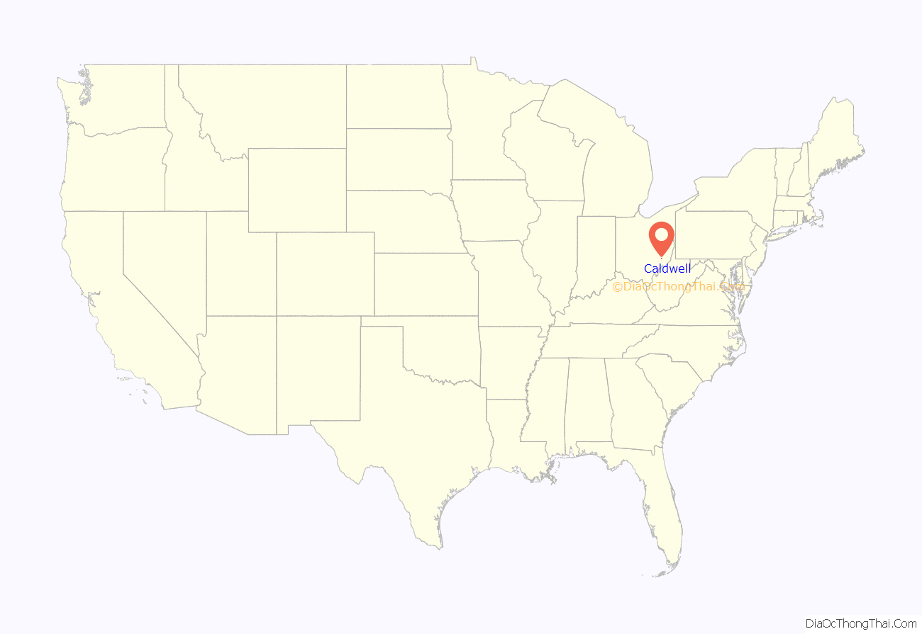
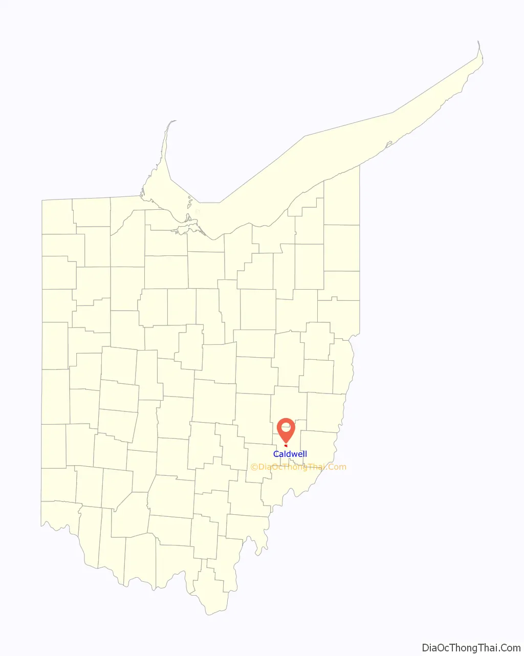
Caldwell location map. Where is Caldwell village?
History
Caldwell was founded in 1857, and named after Joseph and Samuel Caldwell, the original owners of the town site. The Pennsylvania Railroad reached Caldwell in the 1870s, tying it to markets in the east and north along the Great Lakes.
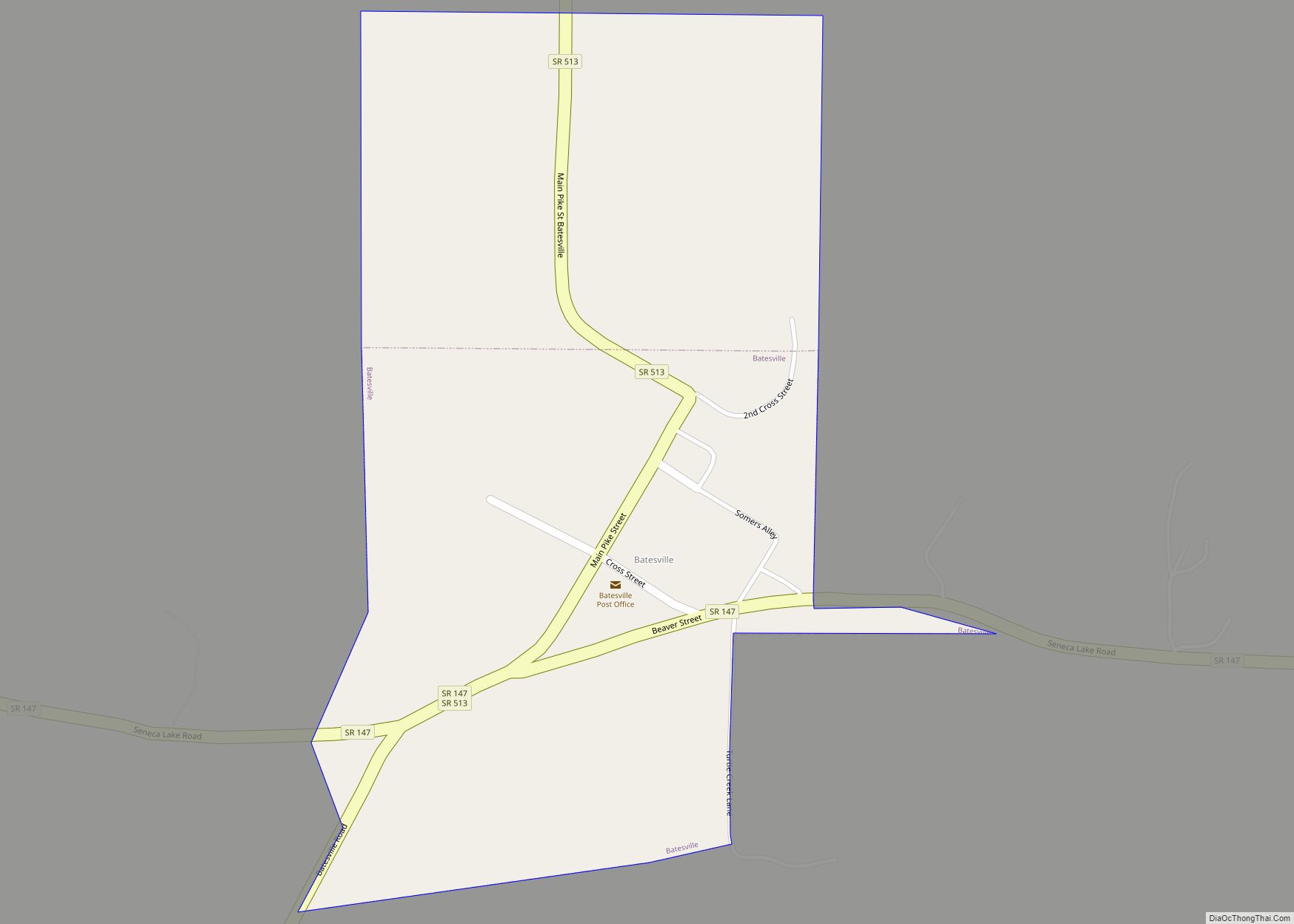
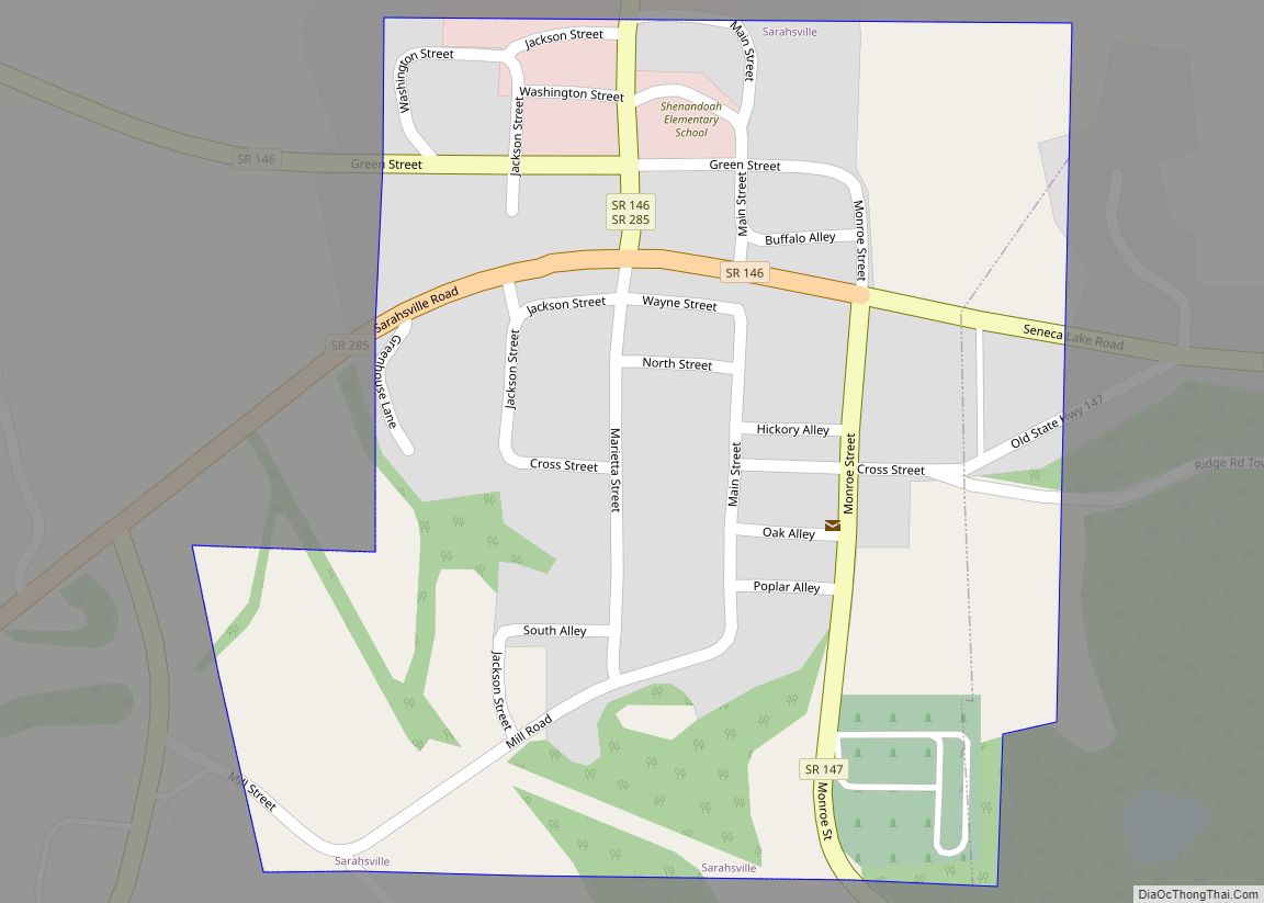
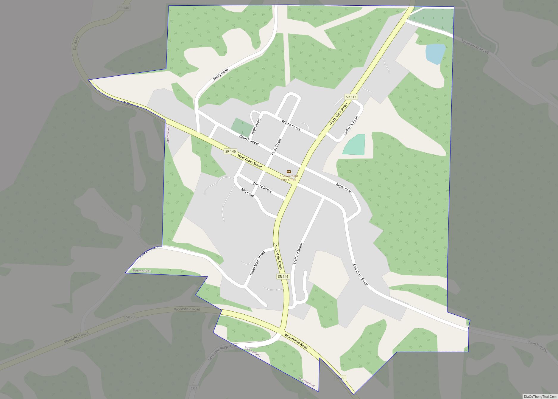
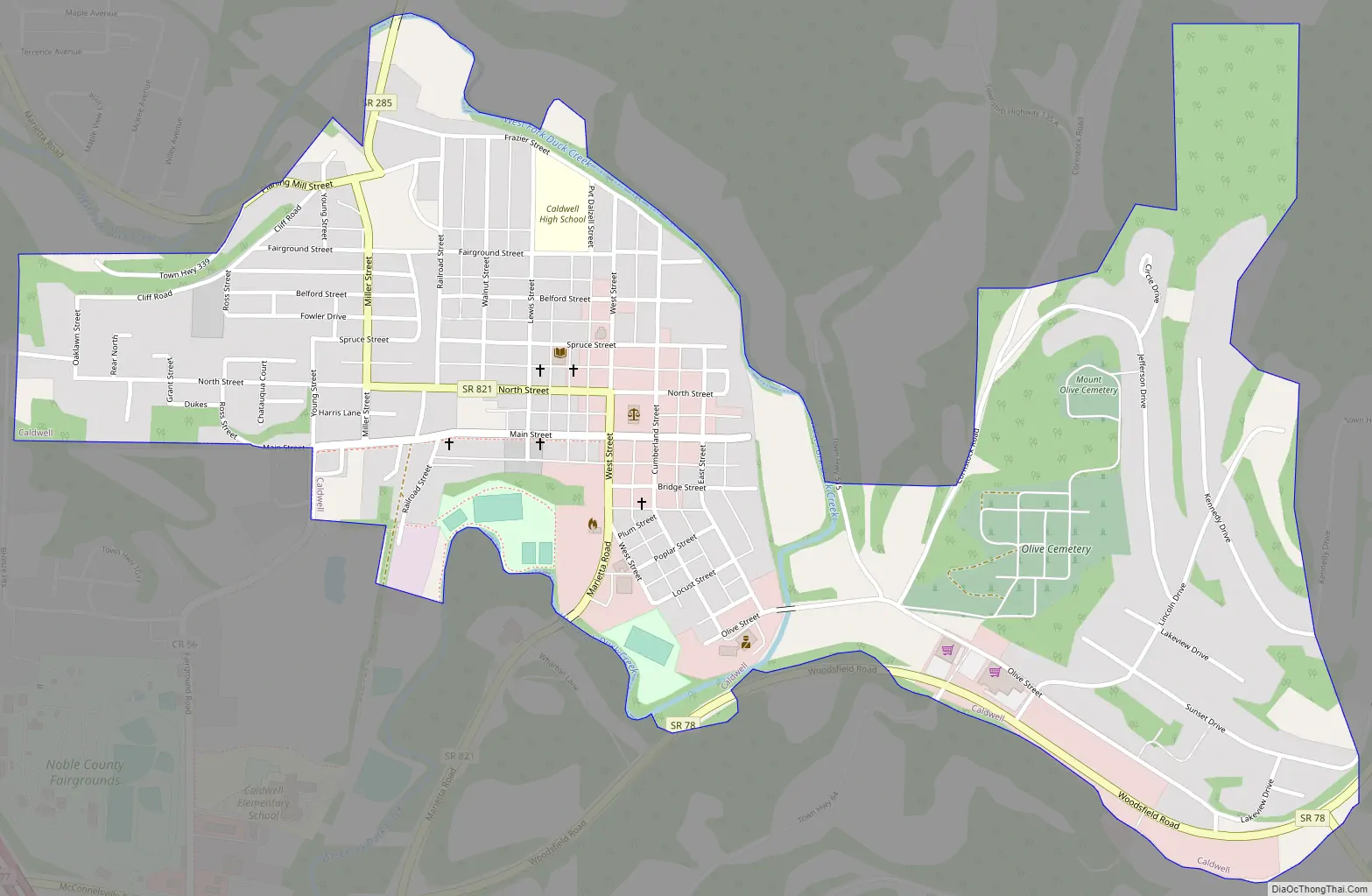
Caldwell Road Map
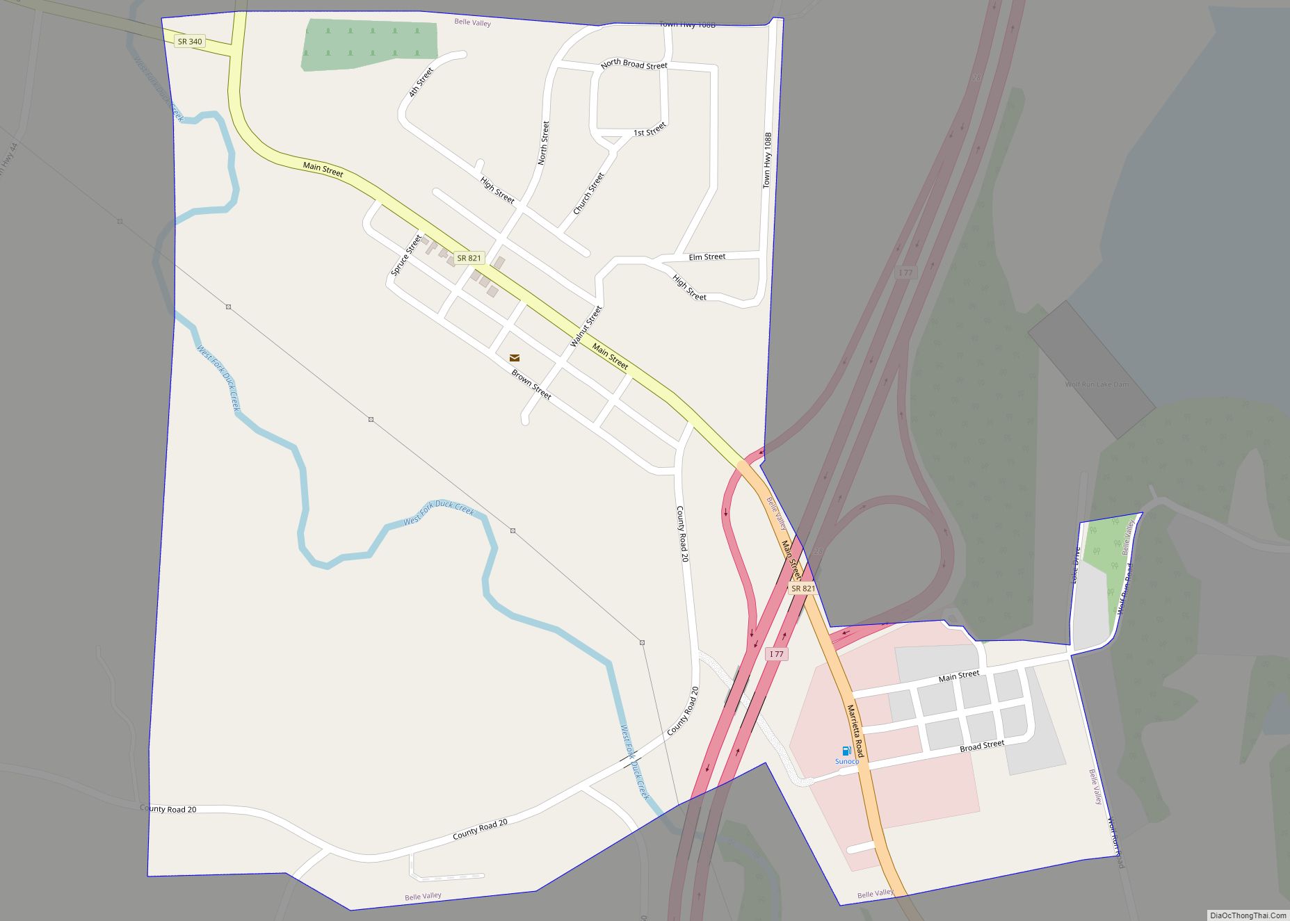
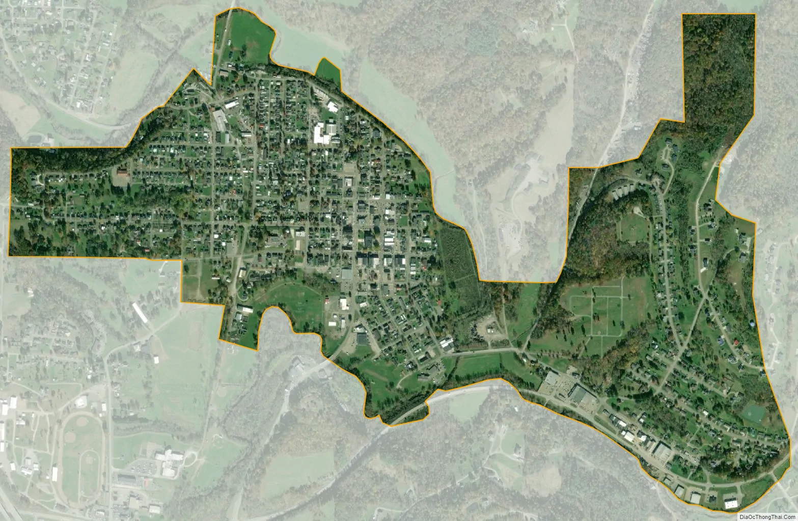
Caldwell city Satellite Map
Geography
According to the United States Census Bureau, the village has a total area of 0.90 square miles (2.33 km), of which 0.89 square miles (2.31 km) is land and 0.01 square miles (0.03 km) is water.
See also
Map of Ohio State and its subdivision:- Adams
- Allen
- Ashland
- Ashtabula
- Athens
- Auglaize
- Belmont
- Brown
- Butler
- Carroll
- Champaign
- Clark
- Clermont
- Clinton
- Columbiana
- Coshocton
- Crawford
- Cuyahoga
- Darke
- Defiance
- Delaware
- Erie
- Fairfield
- Fayette
- Franklin
- Fulton
- Gallia
- Geauga
- Greene
- Guernsey
- Hamilton
- Hancock
- Hardin
- Harrison
- Henry
- Highland
- Hocking
- Holmes
- Huron
- Jackson
- Jefferson
- Knox
- Lake
- Lake Erie
- Lawrence
- Licking
- Logan
- Lorain
- Lucas
- Madison
- Mahoning
- Marion
- Medina
- Meigs
- Mercer
- Miami
- Monroe
- Montgomery
- Morgan
- Morrow
- Muskingum
- Noble
- Ottawa
- Paulding
- Perry
- Pickaway
- Pike
- Portage
- Preble
- Putnam
- Richland
- Ross
- Sandusky
- Scioto
- Seneca
- Shelby
- Stark
- Summit
- Trumbull
- Tuscarawas
- Union
- Van Wert
- Vinton
- Warren
- Washington
- Wayne
- Williams
- Wood
- Wyandot
- Alabama
- Alaska
- Arizona
- Arkansas
- California
- Colorado
- Connecticut
- Delaware
- District of Columbia
- Florida
- Georgia
- Hawaii
- Idaho
- Illinois
- Indiana
- Iowa
- Kansas
- Kentucky
- Louisiana
- Maine
- Maryland
- Massachusetts
- Michigan
- Minnesota
- Mississippi
- Missouri
- Montana
- Nebraska
- Nevada
- New Hampshire
- New Jersey
- New Mexico
- New York
- North Carolina
- North Dakota
- Ohio
- Oklahoma
- Oregon
- Pennsylvania
- Rhode Island
- South Carolina
- South Dakota
- Tennessee
- Texas
- Utah
- Vermont
- Virginia
- Washington
- West Virginia
- Wisconsin
- Wyoming