Polk County is a county located in the U.S. state of Texas. As of the 2020 census, its population was 50,123. Its county seat is Livingston. The county is named after James K. Polk.
The Alabama-Coushatta Indian Reservation of the federally recognized tribe is in Polk County, where the people have been since the early 19th century. They were forcibly evicted by the federal government from their traditional territory in the Southeast. The 2000 census reported a resident population of 480 persons on the reservation. The tribe reports 1100 enrolled members.
| Name: | Polk County |
|---|---|
| FIPS code: | 48-373 |
| State: | Texas |
| Founded: | March 30, 1846 |
| Named for: | James K. Polk |
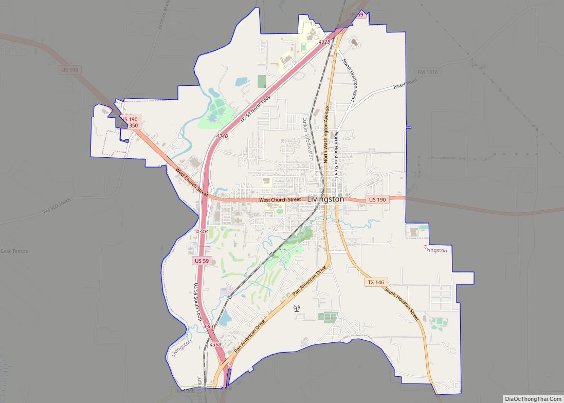
| Seat: | Livingston |
| Largest town: | Livingston |
| Total Area: | 1,110 sq mi (2,900 km²) |
| Land Area: | 1,057 sq mi (2,740 km²) |
| Total Population: | 50,123 |
| Population Density: | 45/sq mi (17/km²) |
| Time zone: | UTC−6 (Central) |
| Summer Time Zone (DST): | UTC−5 (CDT) |
| Website: | www.co.polk.tx.us |
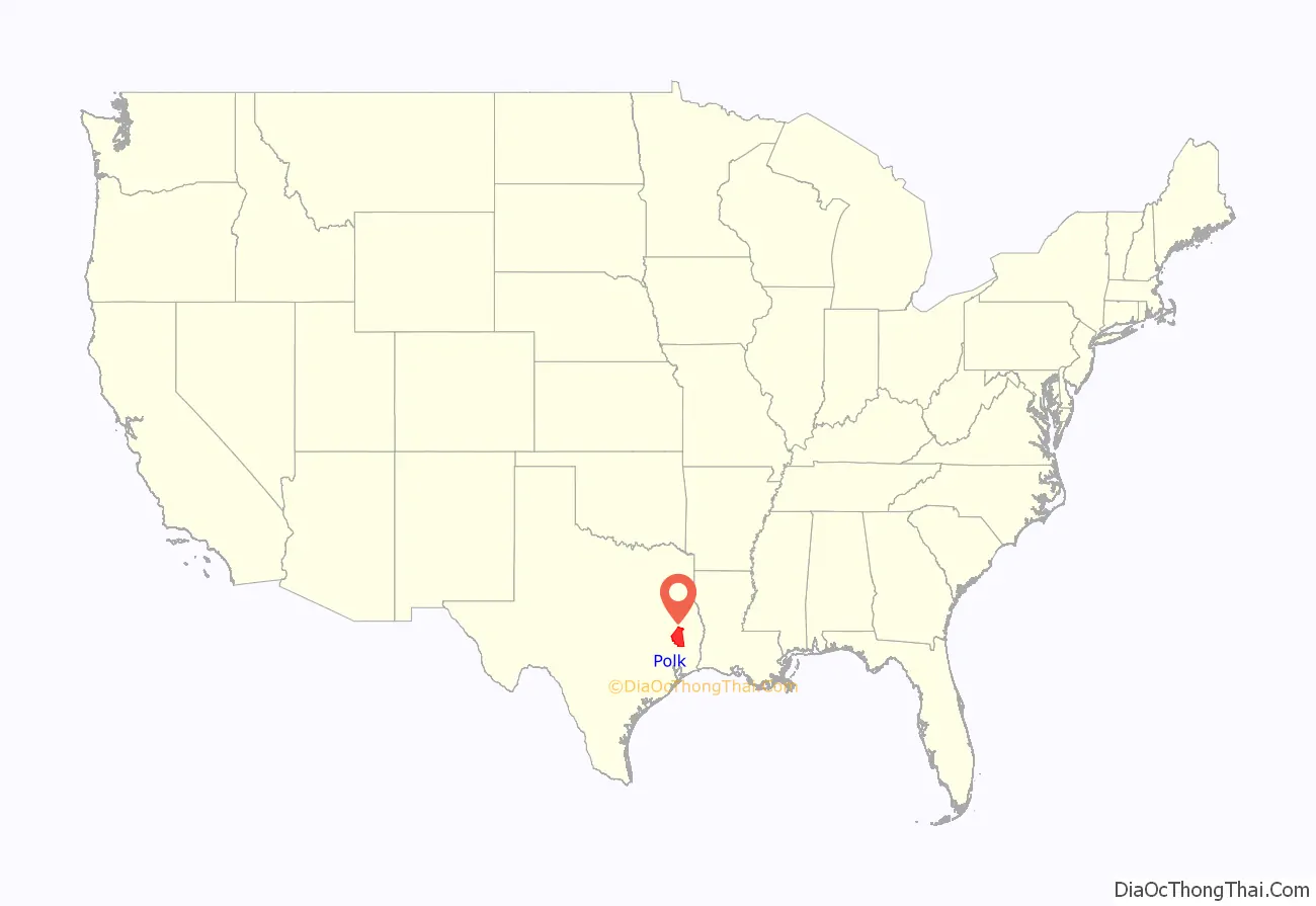
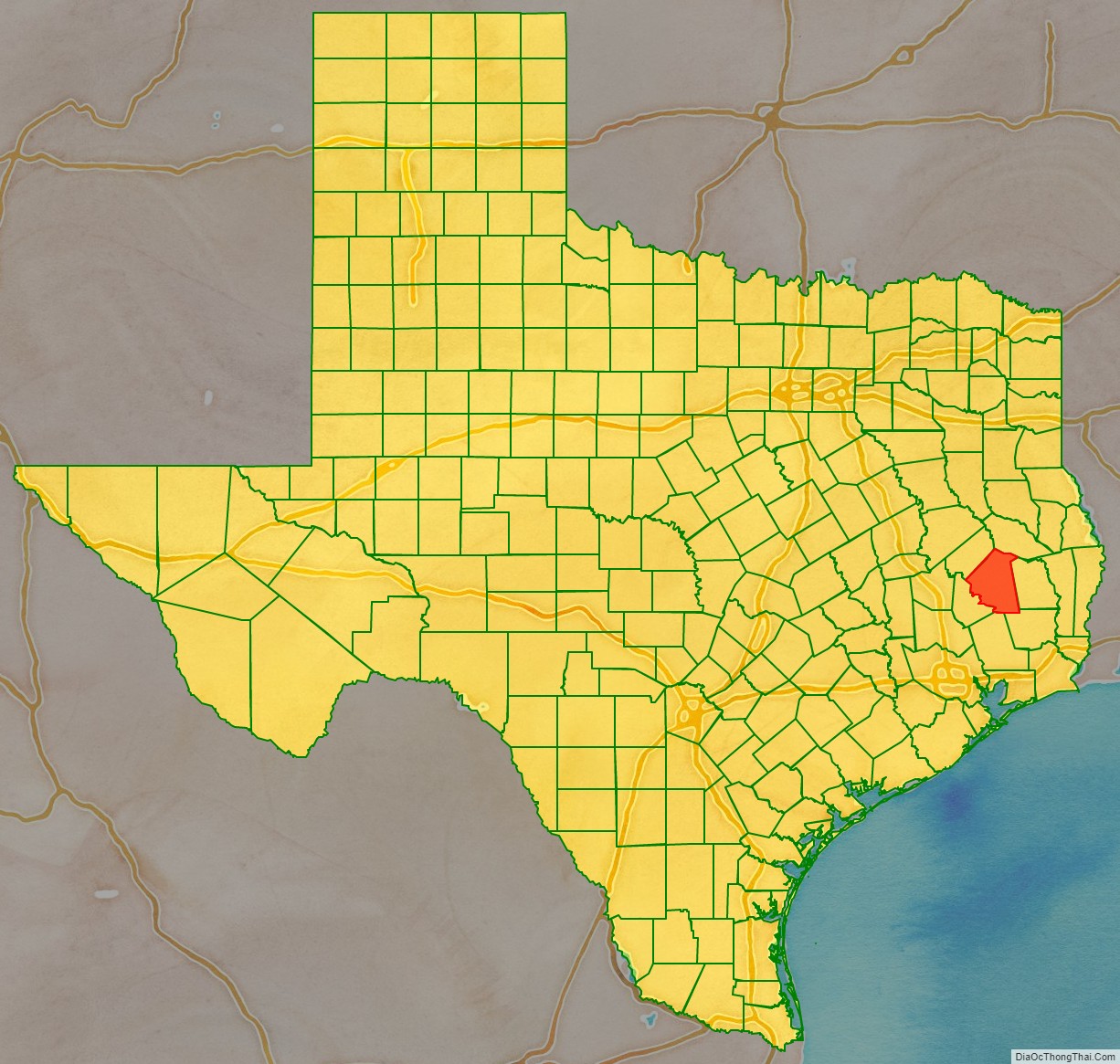
Polk County location map. Where is Polk County?
History
Polk County, named for James Knox Polk of Tennessee, President of the United States, was created by an act of the first Legislature of the State of Texas, approved on March 30, 1846, out of Liberty County, and embraced that portion from the part designated as the “Northern Division” of said county. It was one of the first of a series of 23 counties, formulated, constituted, and established by the State of Texas, after annexation to the United States.
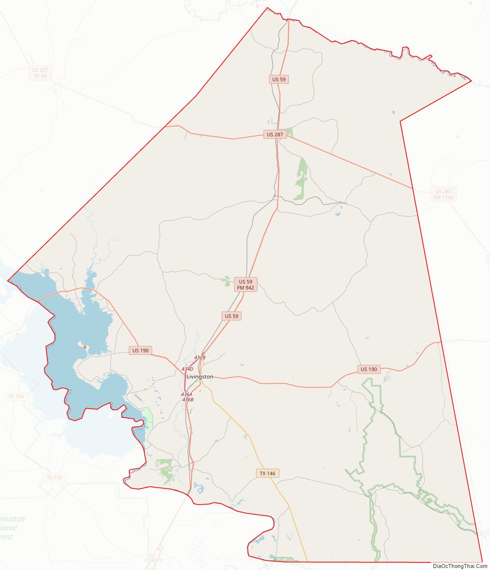
Polk County Road Map
Geography
According to the U.S. Census Bureau, the county has a total area of 1,110 sq mi (2,900 km), of which 53 sq mi (140 km) (4.7%) are covered by water.
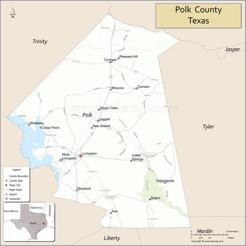
Adjacent counties
- Angelina County (north)
- Tyler County (east)
- Hardin County (southeast)
- Liberty County (south)
- San Jacinto County (southwest)
- Trinity County (northwest)
National protected area
- Big Thicket National Preserve (part)
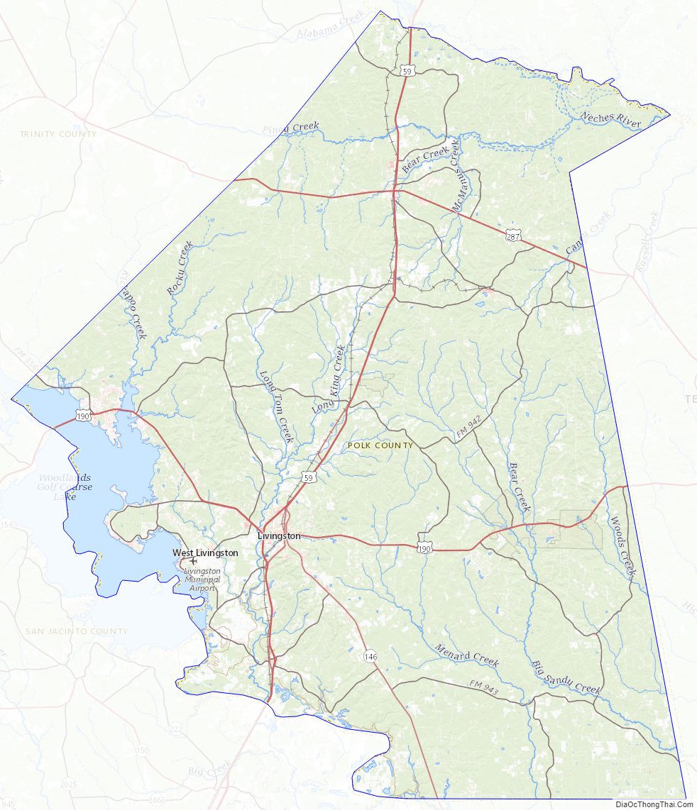
Polk County Topographic Map
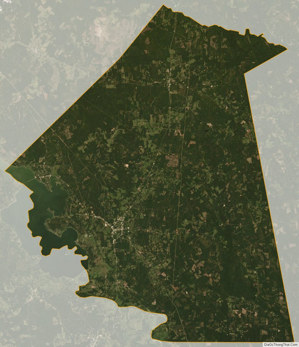
Polk County Satellite Map
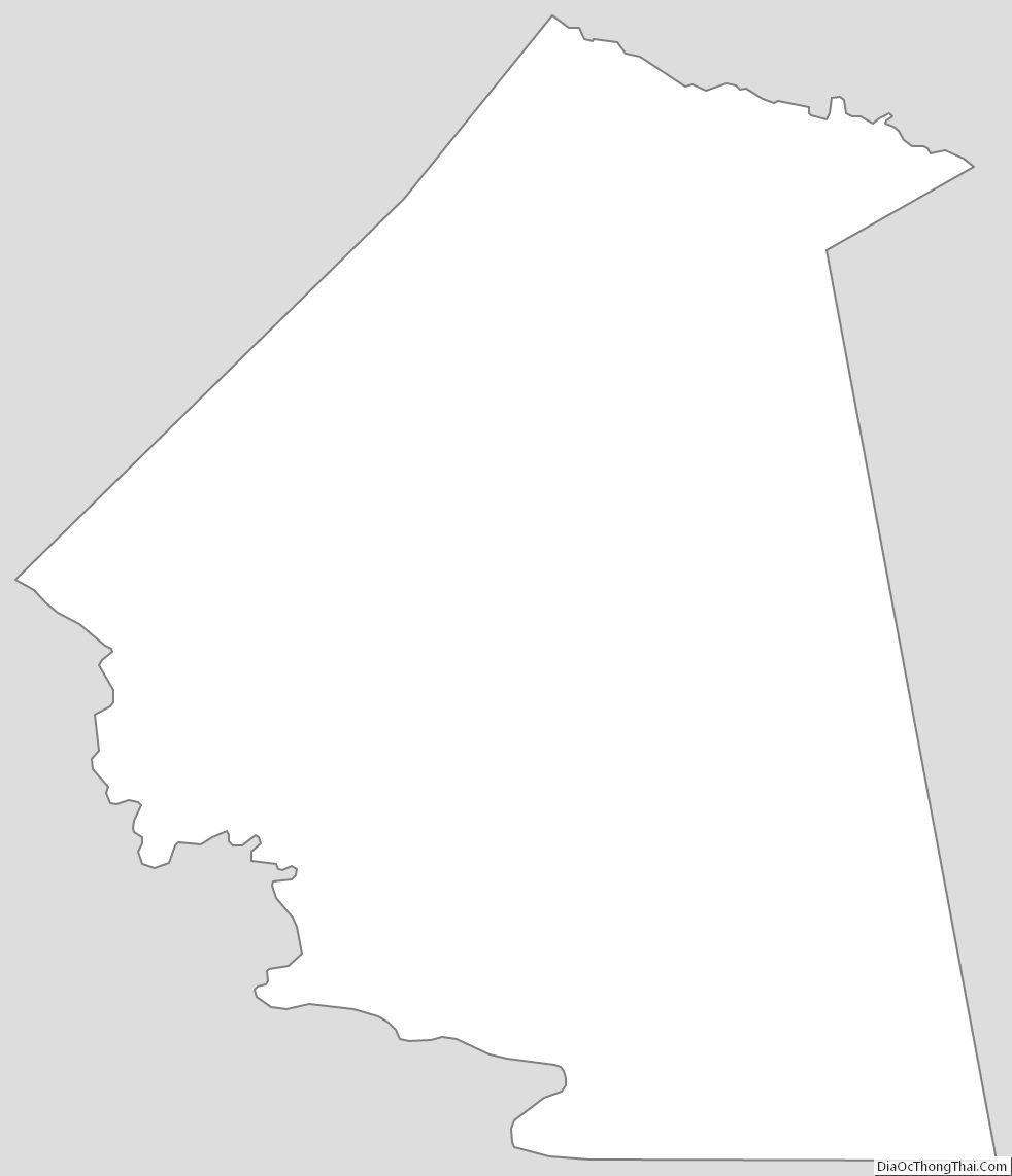
Polk County Outline Map