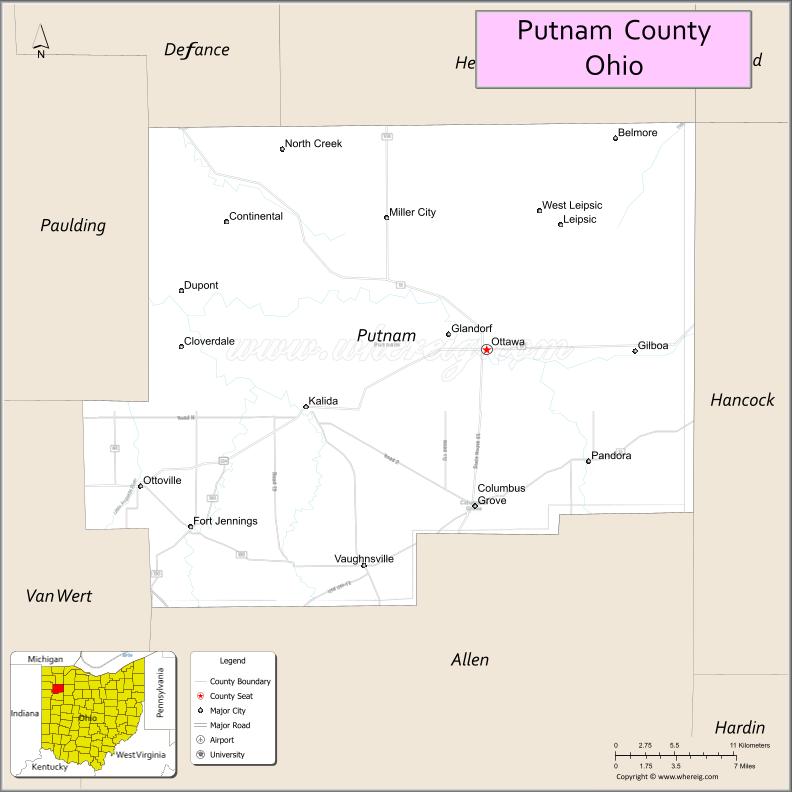
Putnam County is a county located in the northwestern part of the U.S. state of Ohio. As of the 2020 census, the population was 34,451. Its county seat is Ottawa. The county was created in 1820 and later organized in 1834. Its name is in honor of Israel Putnam, a colonial hero in the French and Indian War, who served as a general in the American Revolutionary War. The Blanchard River, which passes through the county, was a key transportation route for early European-American settlers.
| Name: | Putnam County |
|---|---|
| FIPS code: | 39-137 |
| State: | Ohio |
| Founded: | January 3, 1834 |
| Named for: | Israel Putnam |
| Seat: | Ottawa |
| Total Area: | 484 sq mi (1,250 km²) |
| Land Area: | 483 sq mi (1,250 km²) |
| Total Population: | 34,451 |
| Population Density: | 71/sq mi (27/km²) |
| Time zone: | UTC−5 (Eastern) |
| Summer Time Zone (DST): | UTC−4 (EDT) |
| Website: | www.putnamcountyohio.gov |
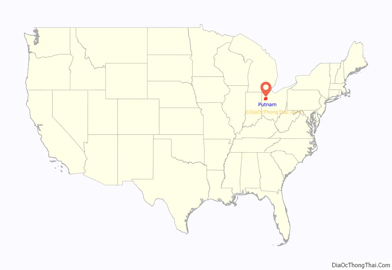
Putnam County location map. Where is Putnam County?
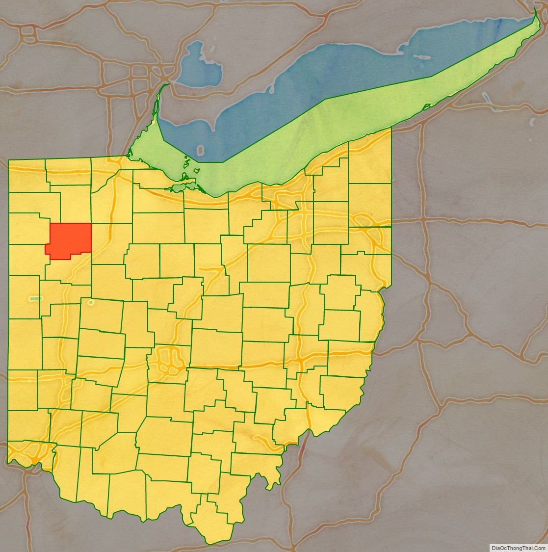
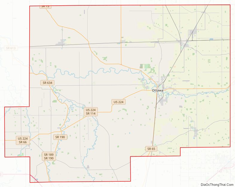
Putnam County Road Map
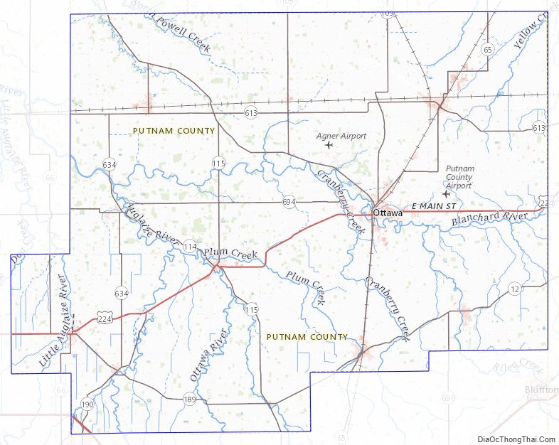
Geography
According to the U.S. Census Bureau, the county has a total area of 484 square miles (1,250 km), of which 483 square miles (1,250 km) is land and 1.8 square miles (4.7 km) (0.4%) is water. The Blanchard River passes through the county.
Adjacent counties
- Henry County (north)
- Hancock County (east)
- Allen County (south)
- Van Wert County (southwest)
- Paulding County (west)
- Defiance County (northwest)
- Wood County (northeast, at a single point)
Putnam County Topographic Map
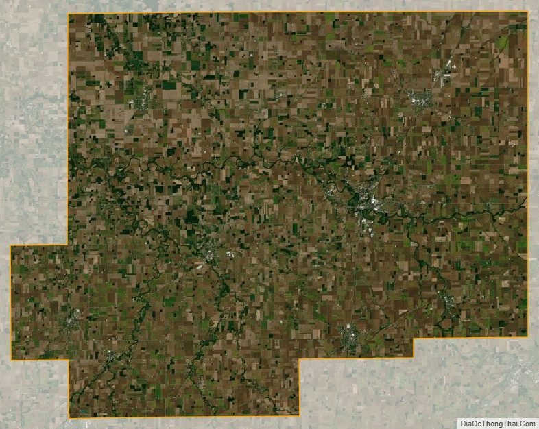
Putnam County Satellite Map
Putnam County Outline Map