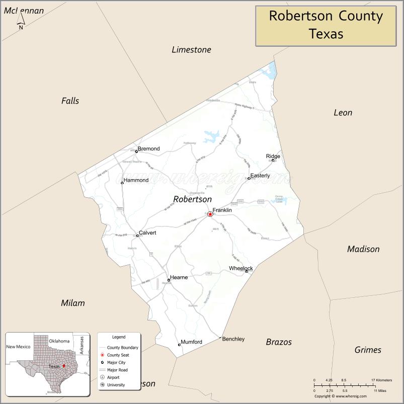
| Name: | Robertson County |
|---|---|
| FIPS code: | 48-395 |
| State: | Texas |
| Founded: | 1838 |
| Named for: | Sterling C. Robertson |
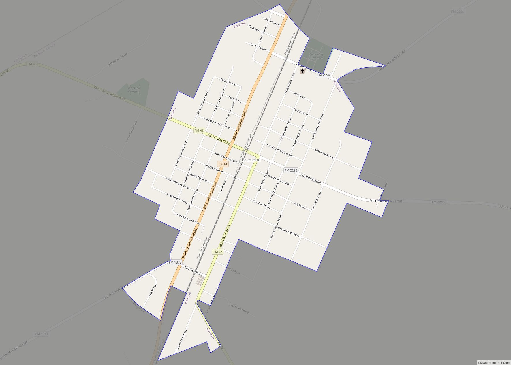
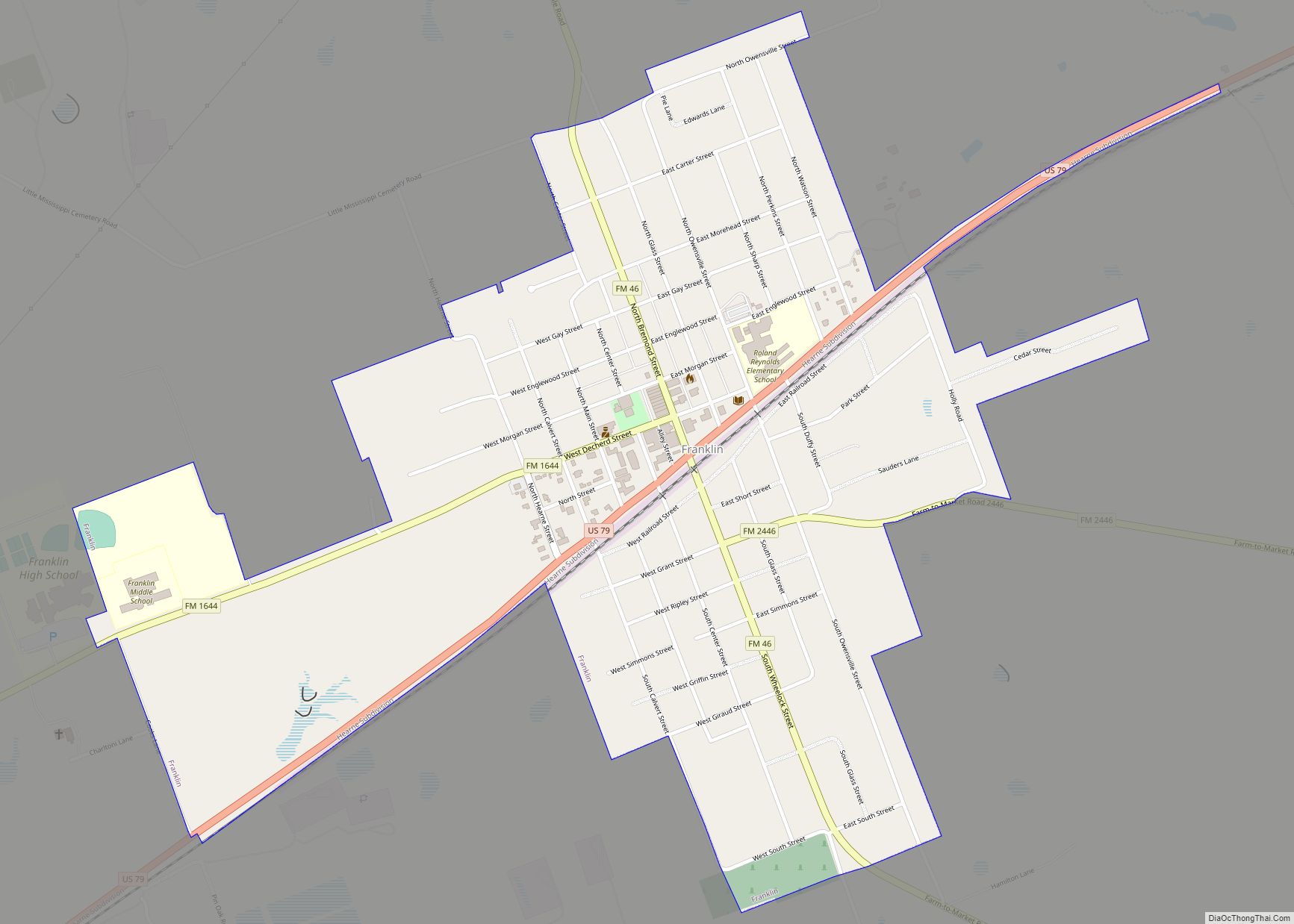
| Seat: | Franklin |
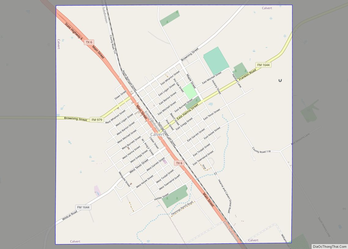
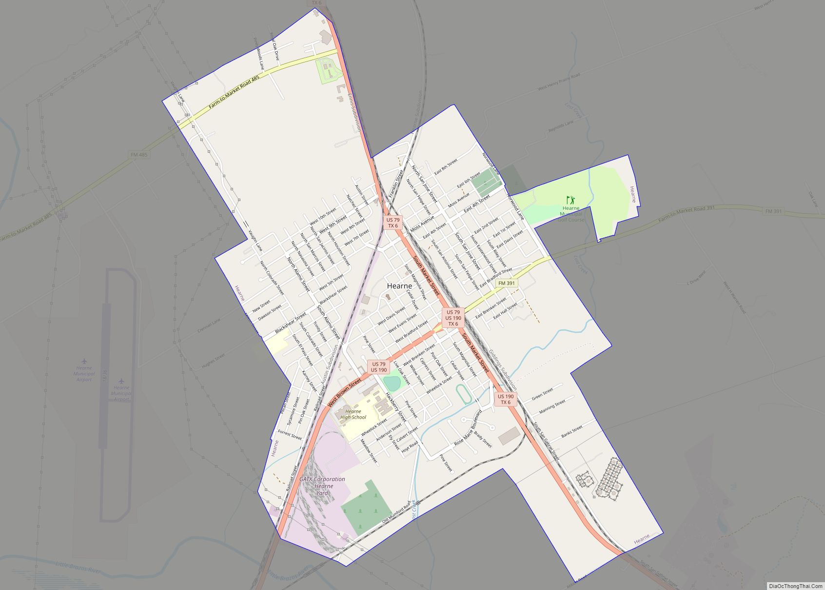
| Largest city: | Hearne |
| Total Area: | 865 sq mi (2,240 km²) |
| Land Area: | 856 sq mi (2,220 km²) |
| Total Population: | 16,757 |
| Population Density: | 19/sq mi (7.5/km²) |
| Time zone: | UTC−6 (Central) |
| Summer Time Zone (DST): | UTC−5 (CDT) |
| Website: | www.co.robertson.tx.us |
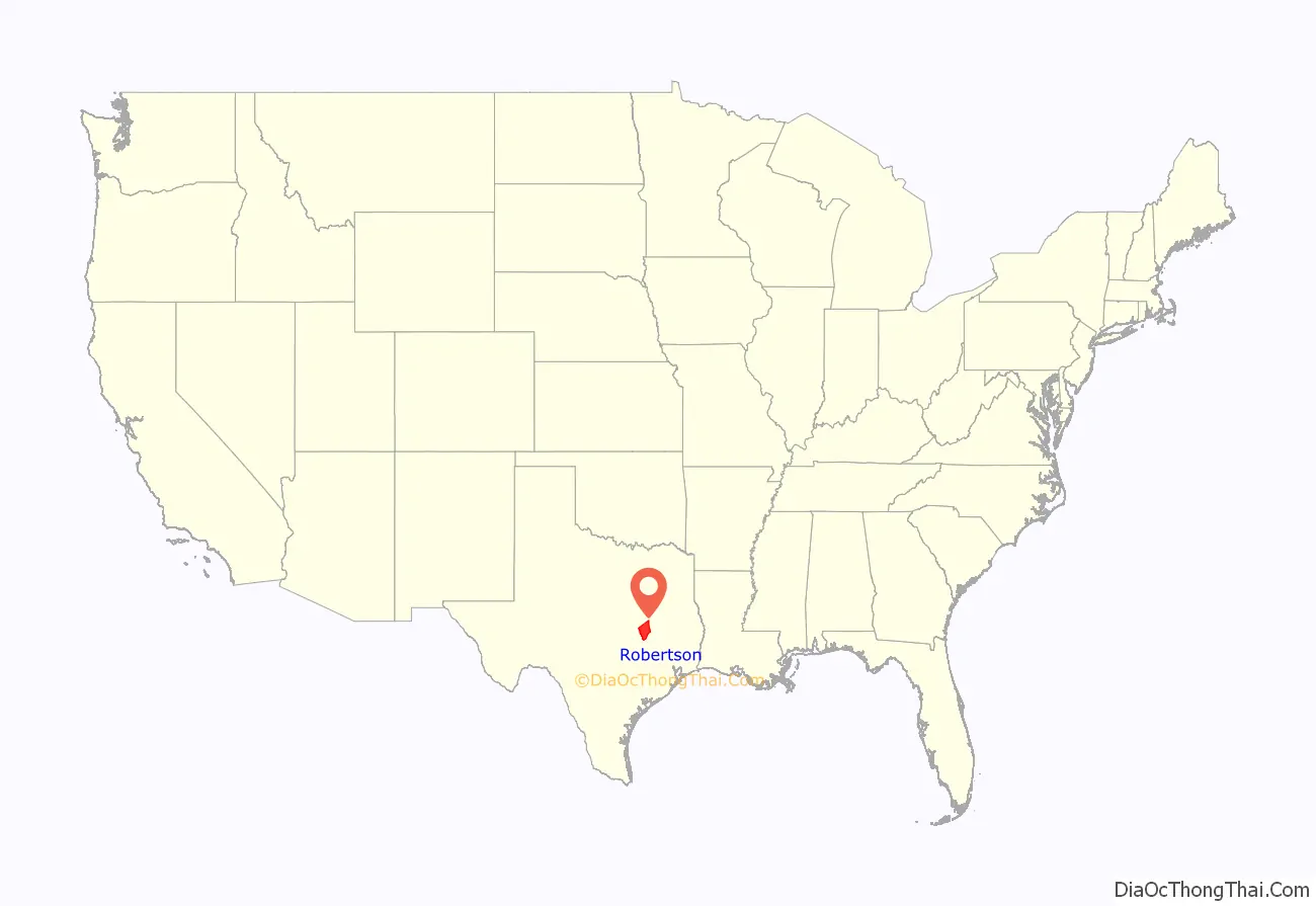
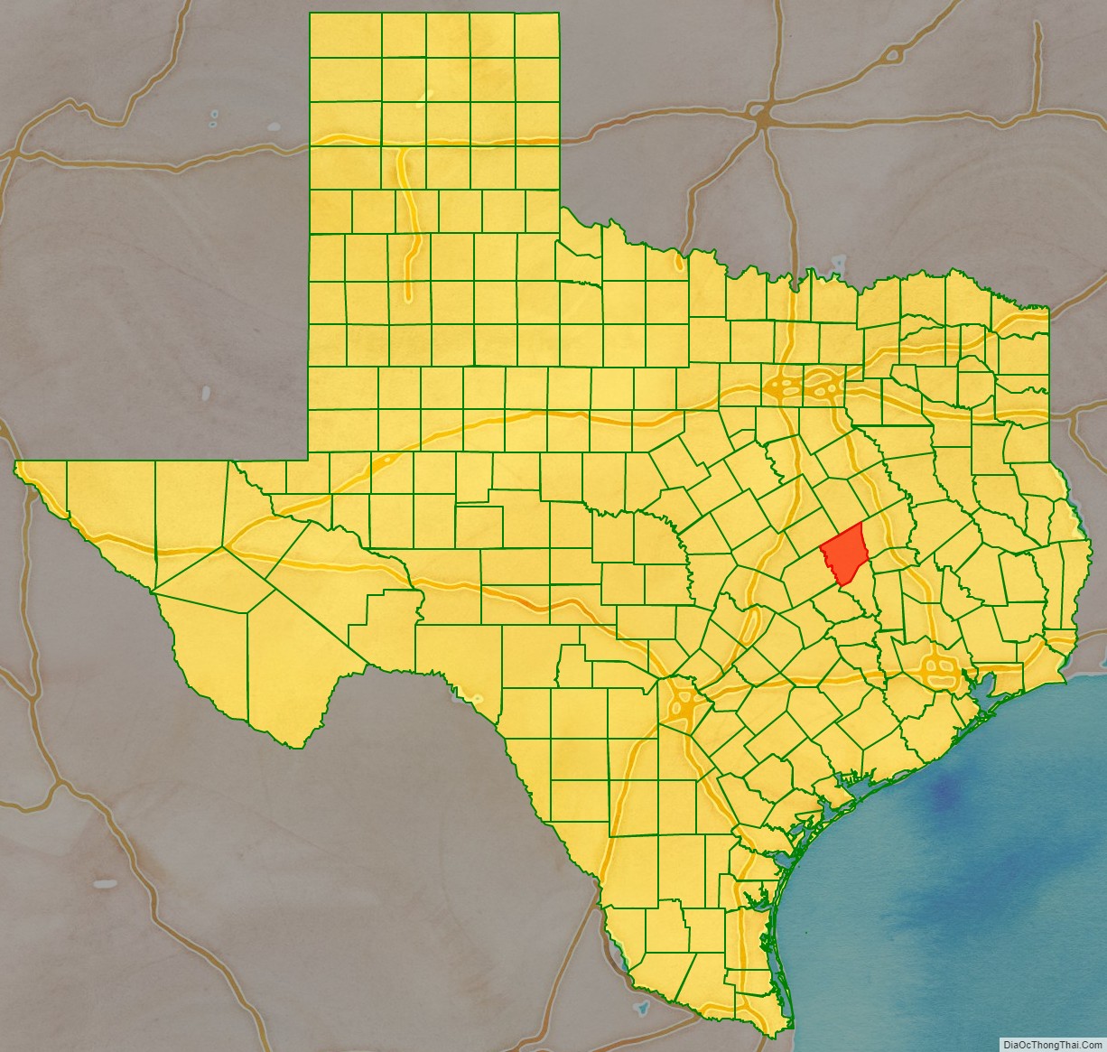
Robertson County location map. Where is Robertson County?
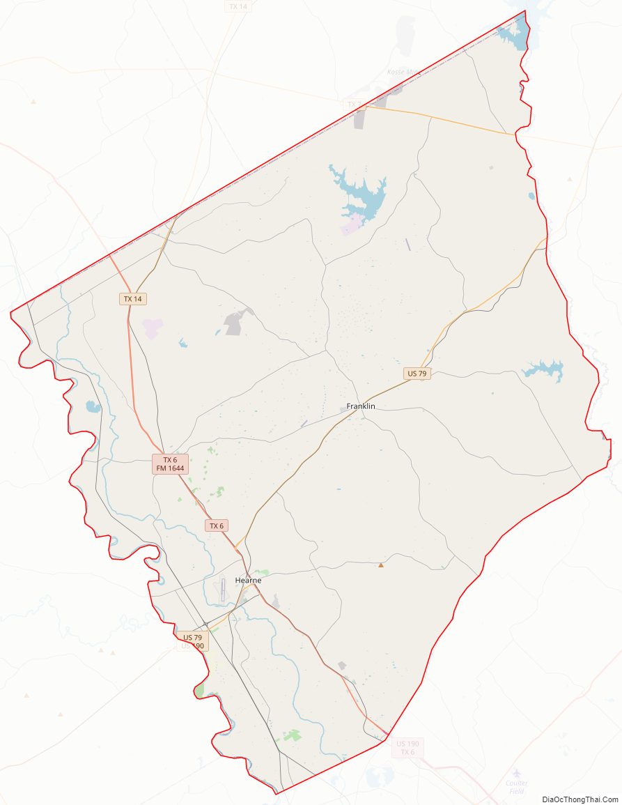
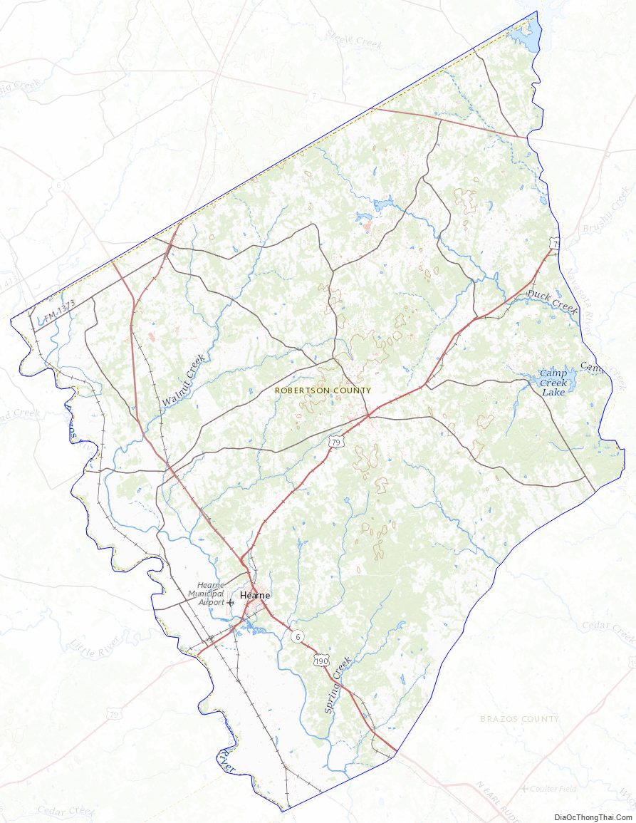
Robertson County Road Map
Geography
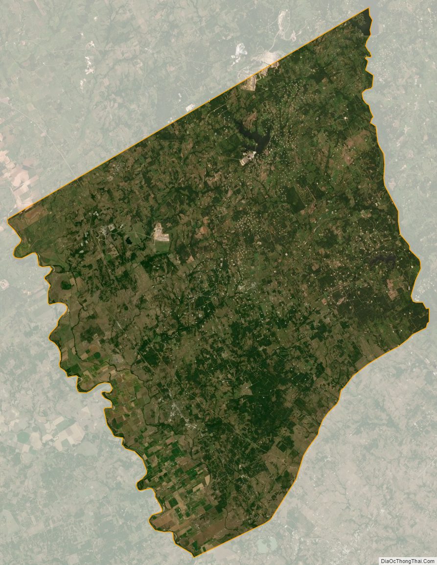
According to the U.S. Census Bureau, the county has a total area of 865 sq mi (2,240 km), of which 856 square miles (2,220 km) are land and 9.7 sq mi (25 km) (1.1%) are covered by water.
Major highways
- U.S. Highway 79
- U.S. Highway 190
- State Highway 6
- State Highway 7
- State Highway 14
Additionally, State Highway OSR forms Robertson County’s southeastern border, but does not fully enter the county.
Adjacent counties
- Limestone County (north)
- Leon County (northeast)
- Brazos County (southeast)
- Burleson County (south)
- Milam County (southwest)
- Falls County (northwest)
Robertson County Topographic Map
Robertson County Satellite Map
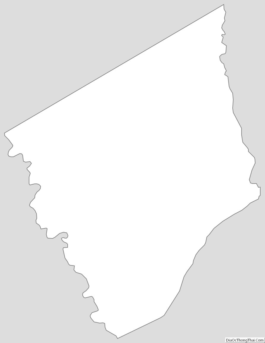
Robertson County Outline Map