Brazos County (/ˈbræzəs/ (listen) BRAZ-əs) is a county in the U.S. state of Texas. As of the 2020 census, its population was 233,849. The county seat is Bryan. Along with Brazoria County, the county is named for the Brazos River, which forms its western border. The county was formed in 1841 and organized in 1843.
Brazos County is part of the Bryan-College Station Metropolitan Statistical Area, which consists of Bryan, College Station, and smaller cities and towns in Brazos, Burleson, and Robertson counties.
| Name: | Brazos County |
|---|---|
| FIPS code: | 48-041 |
| State: | Texas |
| Founded: | 1843 |
| Named for: | Brazos River |
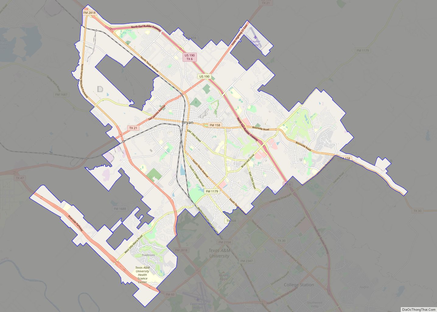
| Seat: | Bryan |
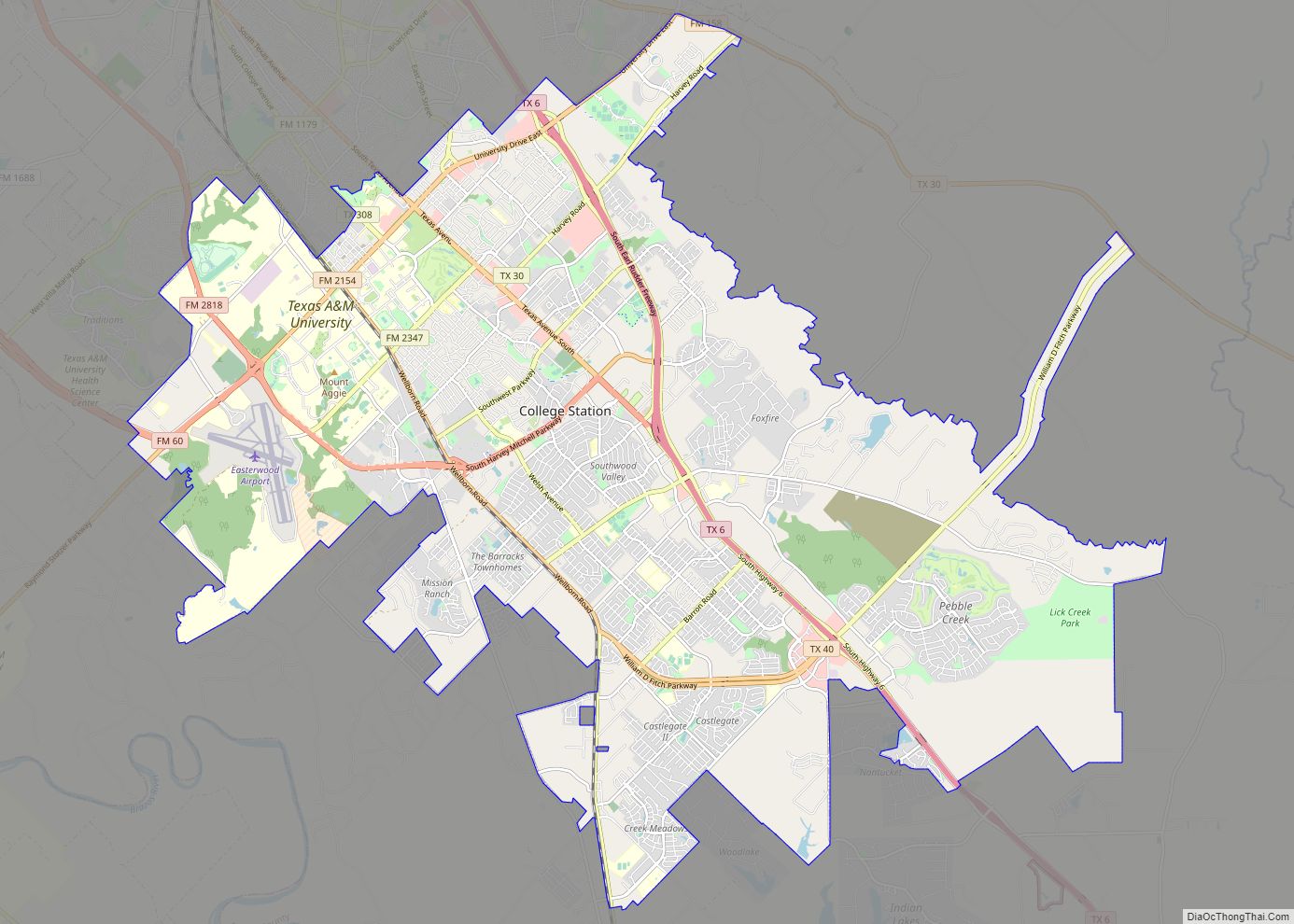
| Largest city: | College Station |
| Total Area: | 591 sq mi (1,530 km²) |
| Land Area: | 585 sq mi (1,520 km²) |
| Total Population: | 233,849 |
| Population Density: | 400/sq mi (150/km²) |
| Time zone: | UTC−6 (Central) |
| Summer Time Zone (DST): | UTC−5 (CDT) |
| Website: | www.brazoscountytx.gov |
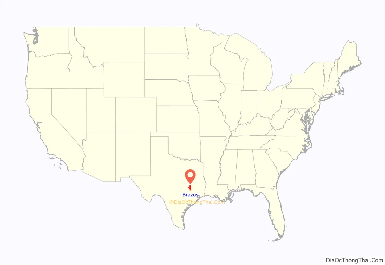
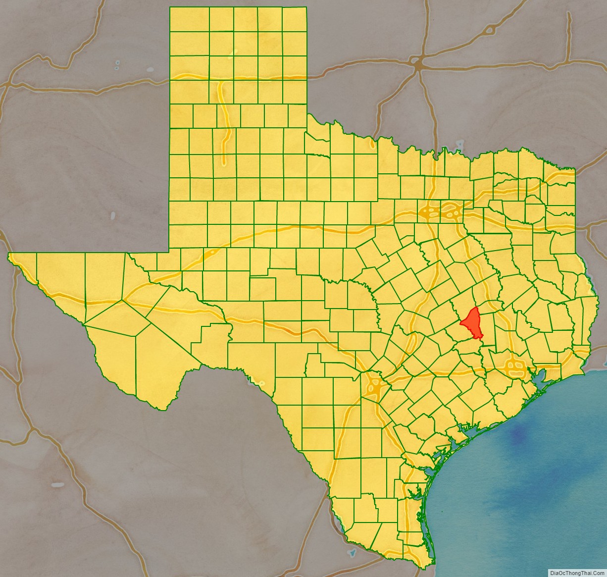
Brazos County location map. Where is Brazos County?
History
In 1837, most of the area of present-day Brazos County was included in Washington County. The Brazos River, which bisected the latter, proved a serious obstacle to county government, and a new county, Navasota, was formed in January 1841. The first court, with Judge R. E. B. Baylor presiding, was held later that year in the home of Joseph Ferguson, fourteen miles west of the site of present Bryan. The county seat, named Boonville for Mordecai Boon, was located on John Austin’s league and was surveyed by Hiram Hanover in 1841. In January of the following year Navasota County was renamed Brazos County.
Originally one of the state’s poorer counties, the county donated 2,416 acres of land in the 1870s to create Texas A&M University, which has enabled the county to be among the state’s most financially successful.
After the Civil War tens of thousands of new residents moved to Brazos County, attracted by its good lands, with plenty of timber and a patchwork of prairies and fertile floodplains. As newcomers poured in by the thousands the county suffered from arson, feuding, shooting and racial violence, including mob lynchings.
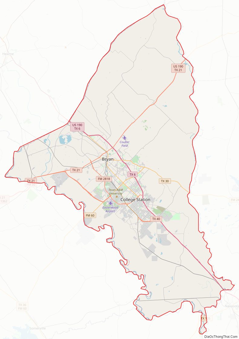
Brazos County Road Map
Geography
According to the U.S. Census Bureau, the county has a total area of 591 square miles (1,530 km), of which 585 square miles (1,520 km) is land and 5.8 square miles (15 km) (1.0%) is water.
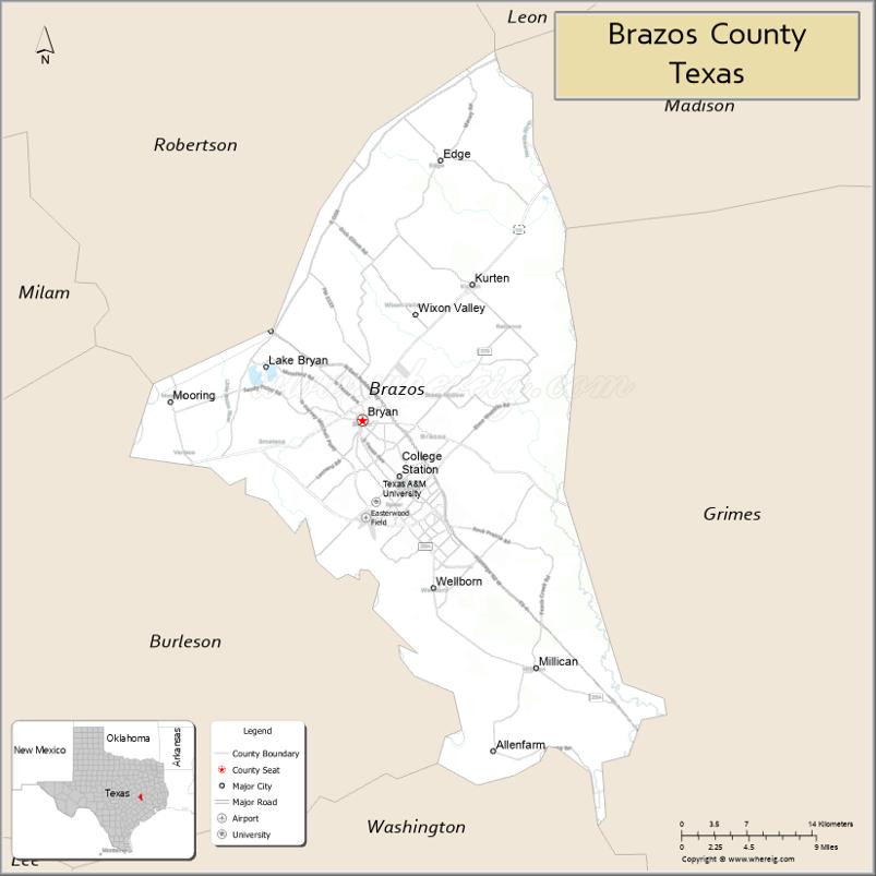
Adjacent counties
- Robertson County (northwest)
- Leon County (north)
- Madison County (northeast)
- Grimes County (east)
- Washington County (south)
- Burleson County (southwest)
The northwest boundary follows the Old Spanish Trail.
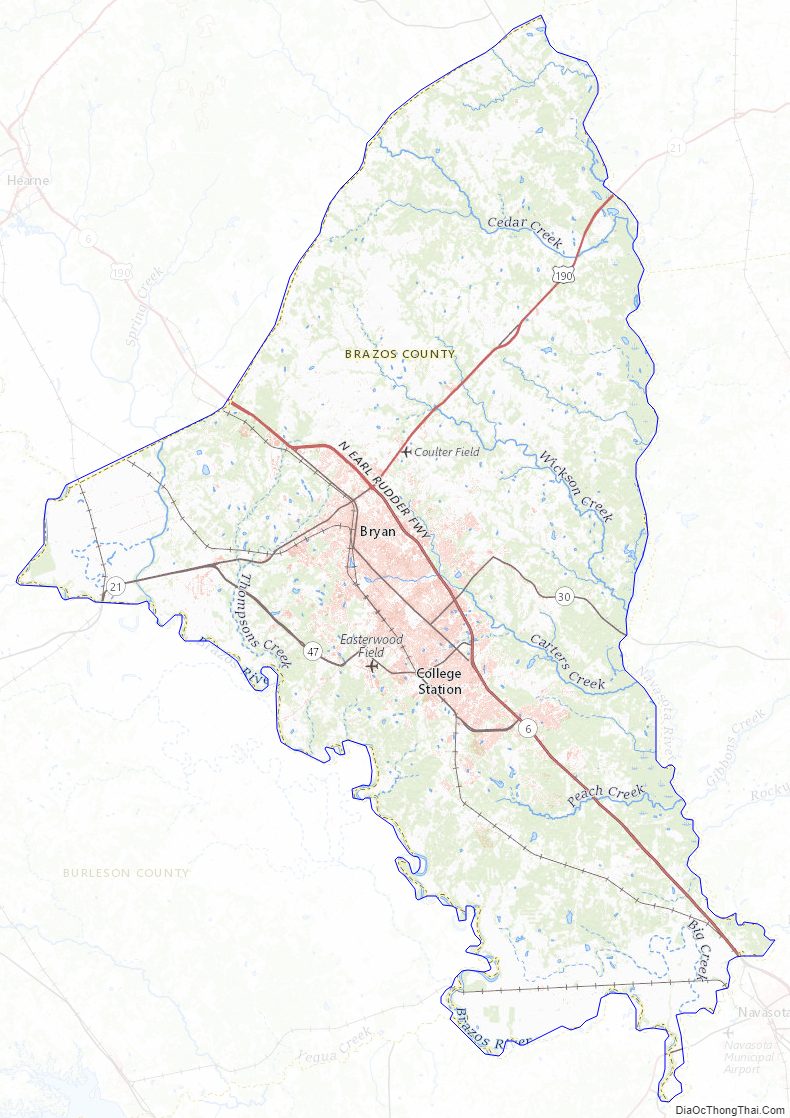
Brazos County Topographic Map
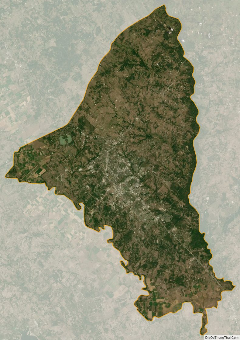
Brazos County Satellite Map
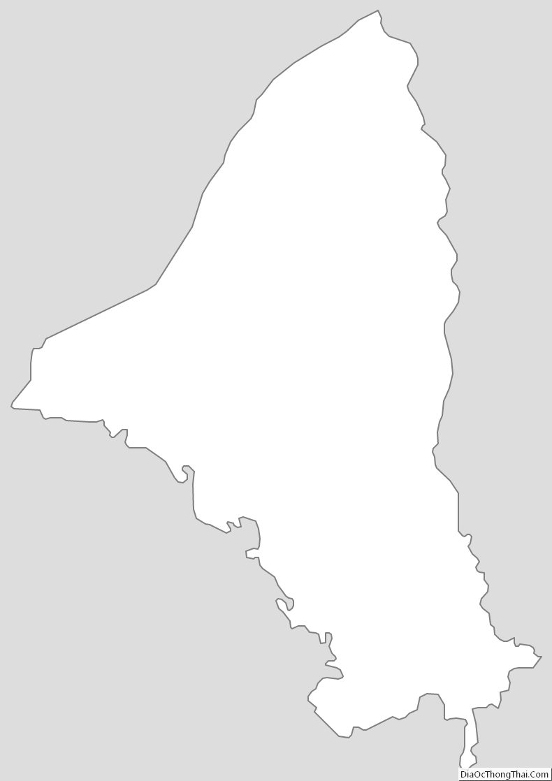
Brazos County Outline Map