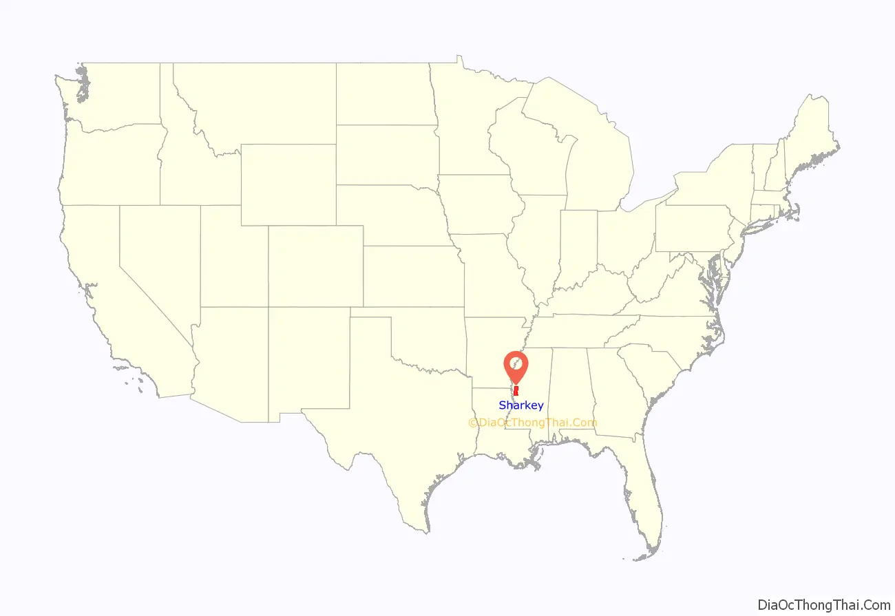
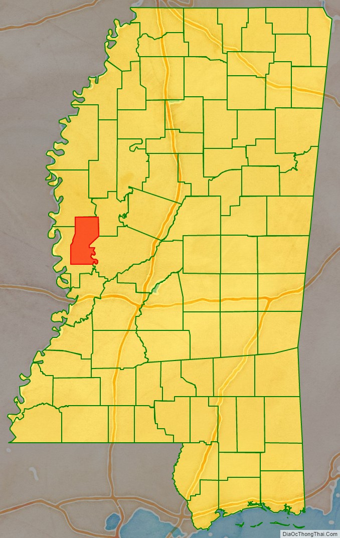
Sharkey County is a county located in the U.S. state of Mississippi. Part of the western border is formed by the Yazoo River. According to the 2020 census, the population was 3,800, making it the second-least populous county in Mississippi. Its county seat is Rolling Fork. The county is named after William L. Sharkey, the provisional Governor of Mississippi in 1865.
Sharkey County is located in the Mississippi Delta region.
| Name: | Sharkey County |
|---|---|
| FIPS code: | 28-125 |
| State: | Mississippi |
| Founded: | 1876 |
| Named for: | William L. Sharkey |
| Seat: | Rolling Fork |
| Largest city: | Rolling Fork |
| Total Area: | 435 sq mi (1,130 km²) |
| Land Area: | 432 sq mi (1,120 km²) |
| Total Population: | 3,800 |
| Population Density: | 8.7/sq mi (3.4/km²) |
| Time zone: | UTC−6 (Central) |
| Summer Time Zone (DST): | UTC−5 (CDT) |
| Website: | www.sharkeycounty.net |
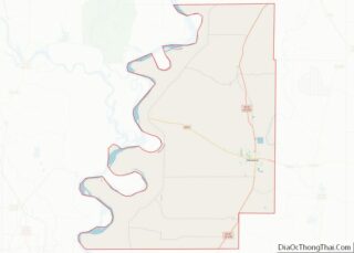
Sharkey County location map. Where is Sharkey County?
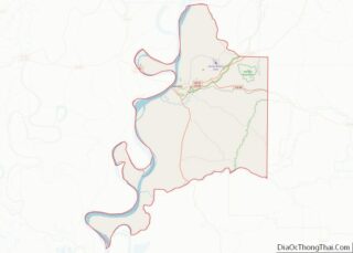
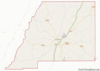
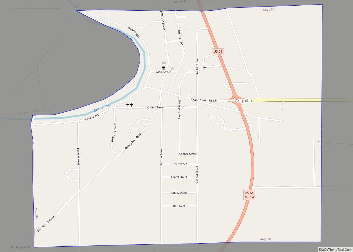
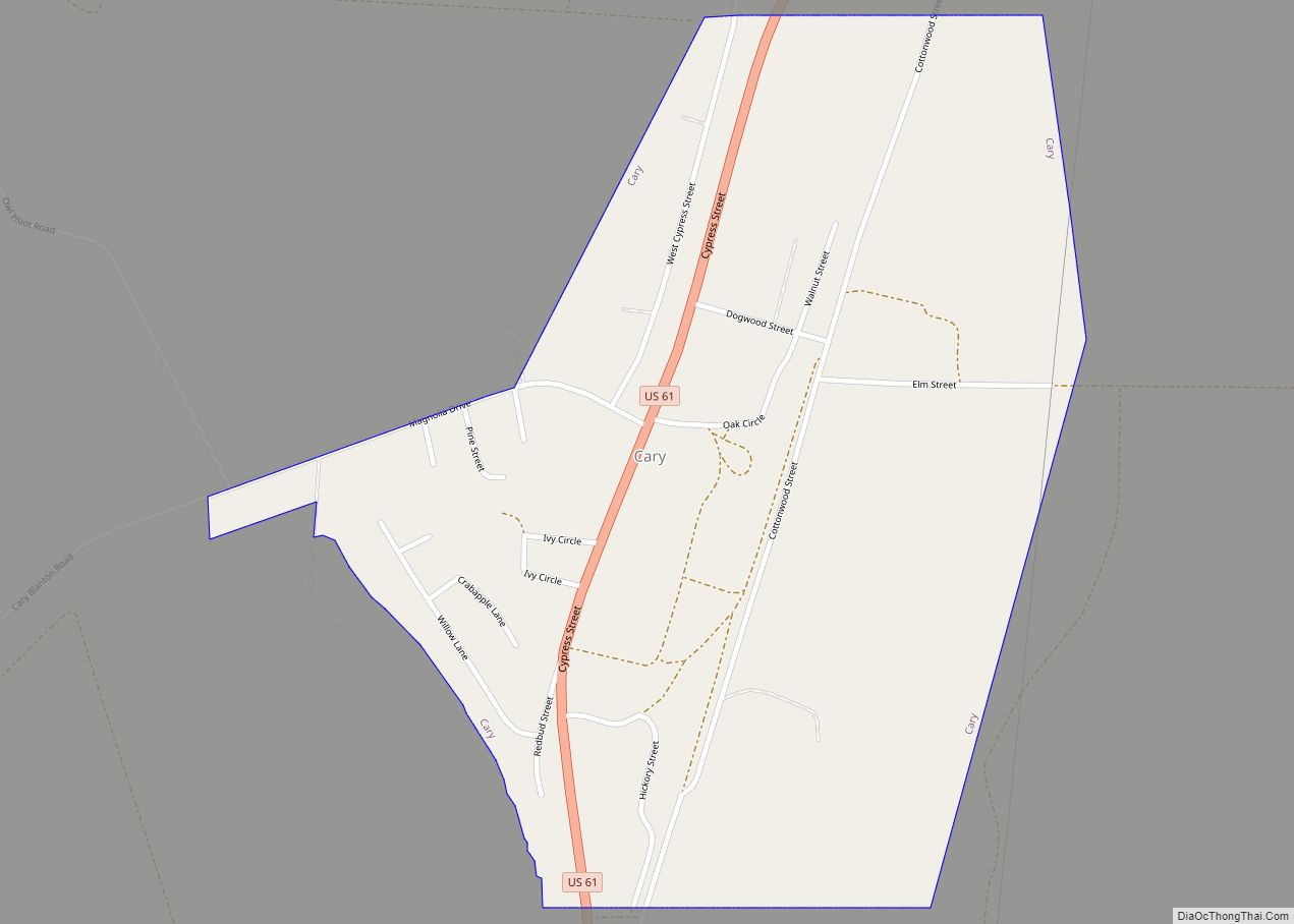
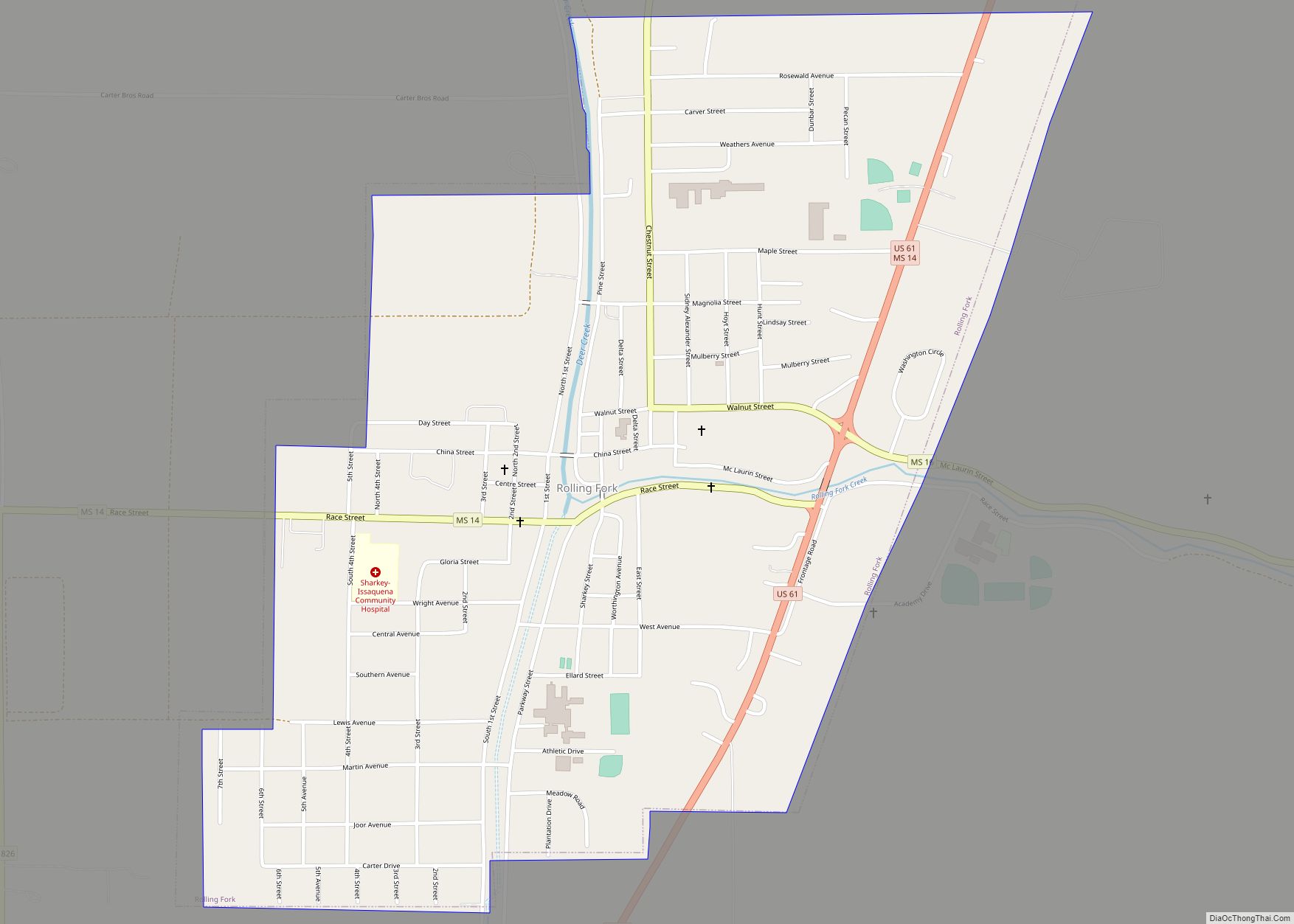
Sharkey County Road Map
Geography
According to the U.S. Census Bureau, the county has a total area of 435 square miles (1,130 km), of which 432 square miles (1,120 km) is land and 3.4 square miles (8.8 km) (0.8%) is water.
Major highways
- U.S. Route 61
- Mississippi Highway 14
- Mississippi Highway 16
Adjacent counties
- Washington County (north)
- Humphreys County (northeast)
- Yazoo County (east)
- Issaquena County (southwest)
National protected area
- Delta National Forest
- Theodore Roosevelt National Wildlife Refuge (part)
