Stephens County is a county located in the U.S. state of Oklahoma. As of the 2010 census, the population was 45,048. Its county seat is Duncan. The county was created at statehood, partly from the Chickasaw Nation in Indian Territory and partly from Comanche County in Oklahoma Territory. It was named for Texas politician John Hall Stephens.
Stephens County comprises the Duncan, OK micropolitan statistical area.
| Name: | Stephens County |
|---|---|
| FIPS code: | 40-137 |
| State: | Oklahoma |
| Founded: | 1907 |
| Named for: | John Hall Stephens |
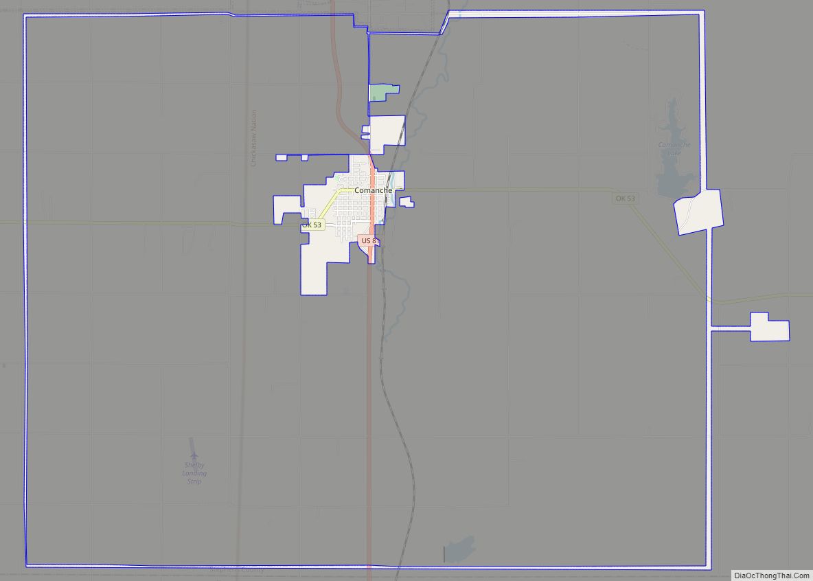
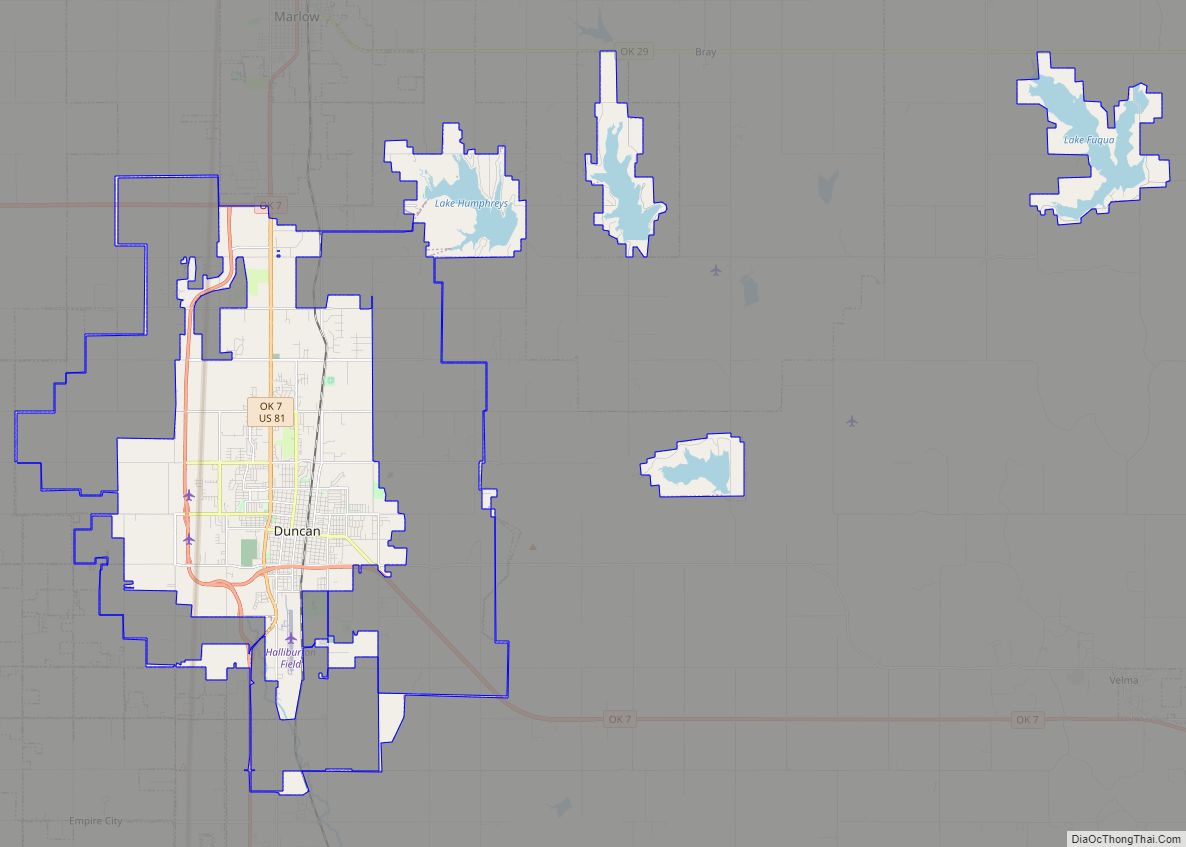
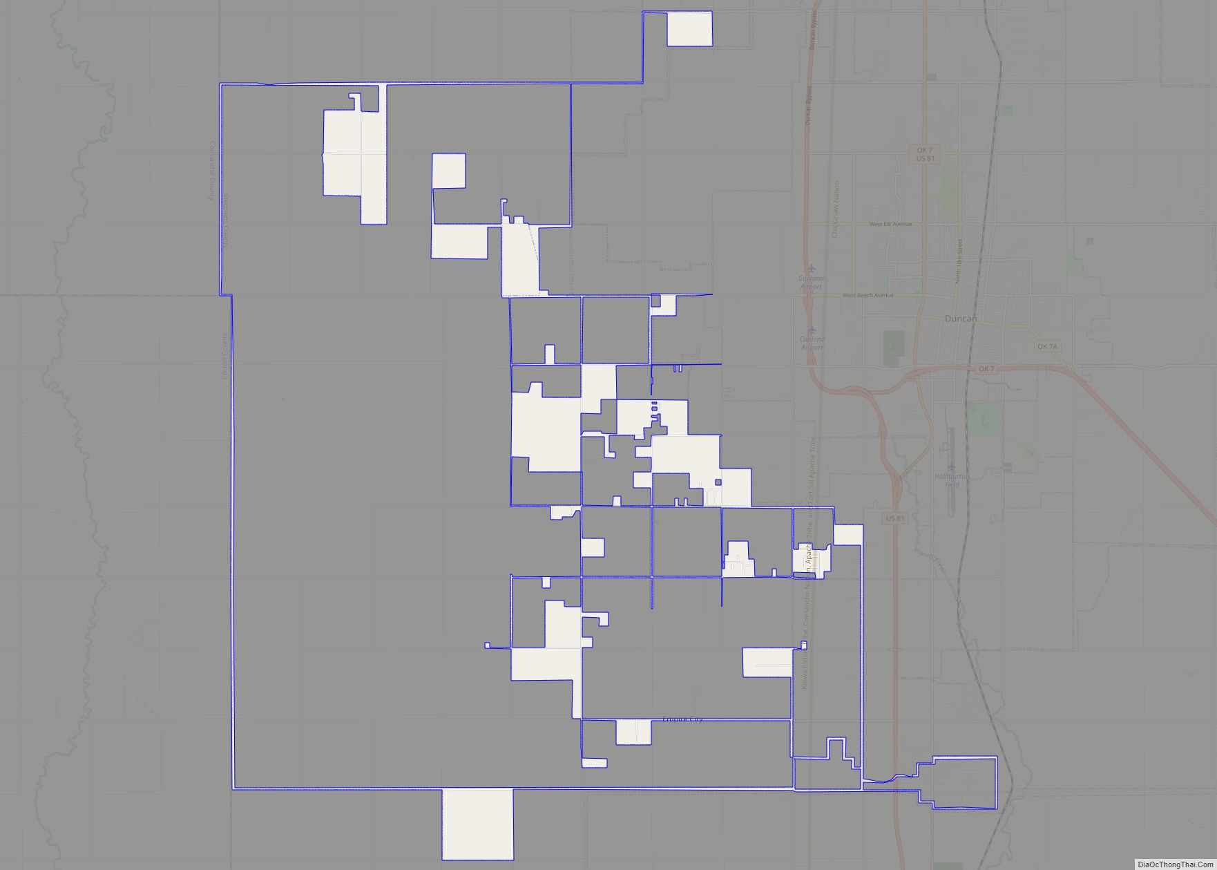
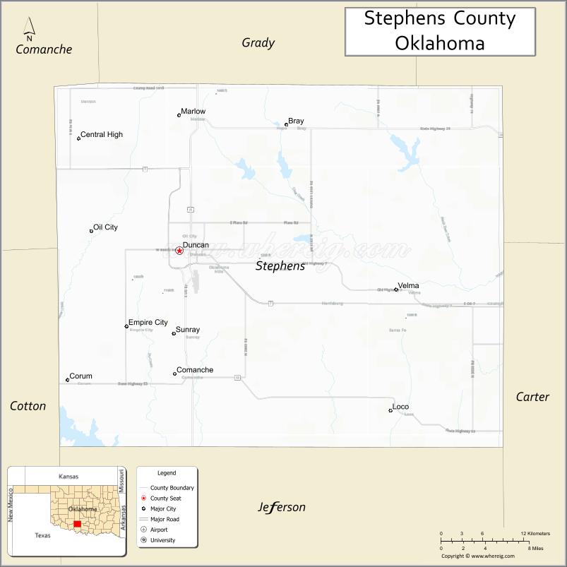
| Seat: | Duncan |
| Largest city: | Duncan |
| Total Area: | 891 sq mi (2,310 km²) |
| Land Area: | 870 sq mi (2,300 km²) |
| Total Population: | 45,048 |
| Population Density: | 52/sq mi (20/km²) |
| Website: | www.stephenscountyok.com |
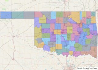
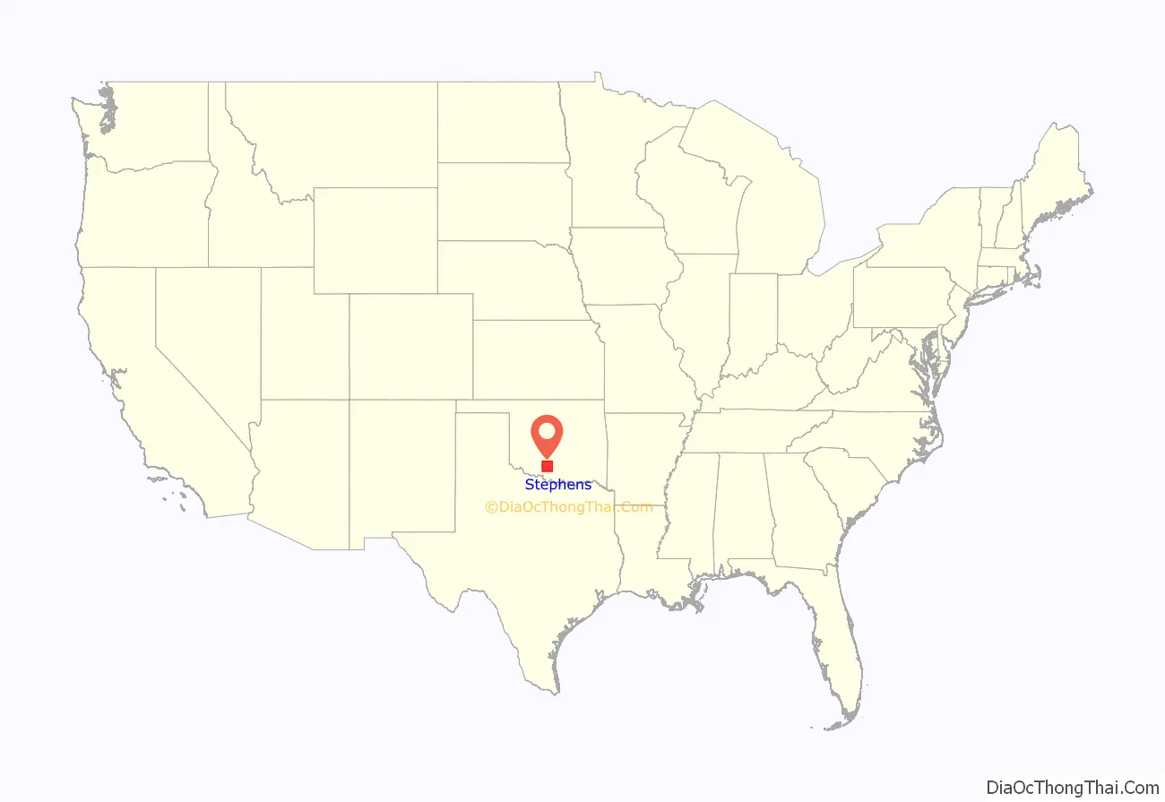
Stephens County location map. Where is Stephens County?
History
Stephens County was created at statehood from portions of both Oklahoma Territory and Indian Territory. About two-thirds of the area came from Pickens County, Chickasaw Nation, in the Indian Territory, and the western third came from Comanche County, Oklahoma Territory. The town of Duncan was designated as the county seat. County offices were located in rented facilities in Duncan until the first courthouse was built in 1921. That building was replaced by a new facility in 1967.
Drilling for oil and gas began about 1910. The first production well did not come in until 1918. Production support activities soon followed. Erle P. Halliburton founded the Halliburton Oil Well Cementing Company in Duncan. The company has since grown into a multinational corporation with headquarters in Dubai and Houston, Texas.
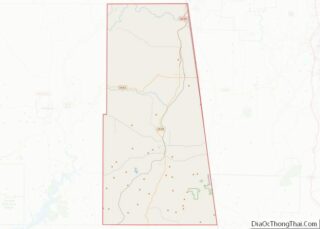
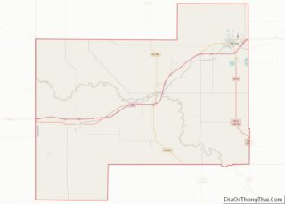
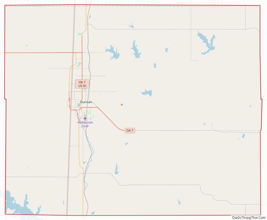
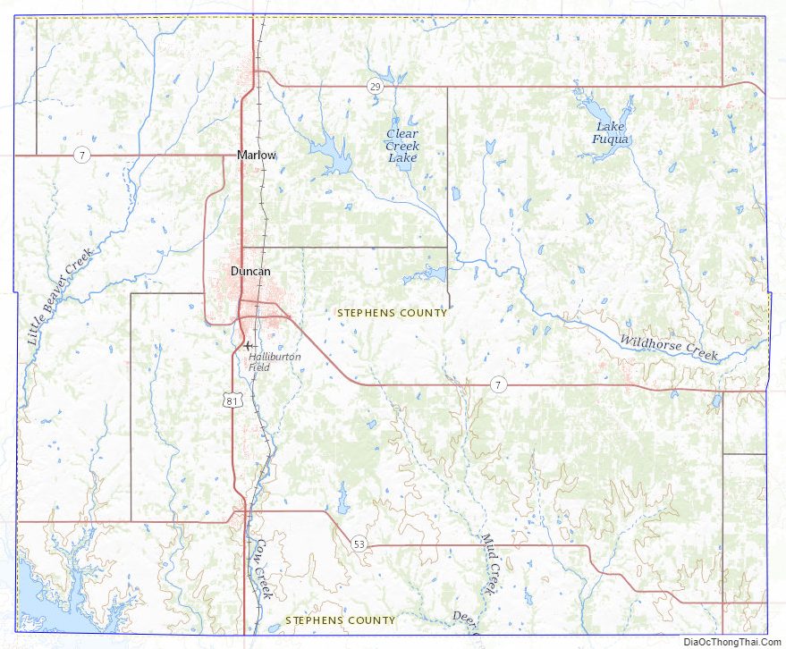
Stephens County Road Map
Geography
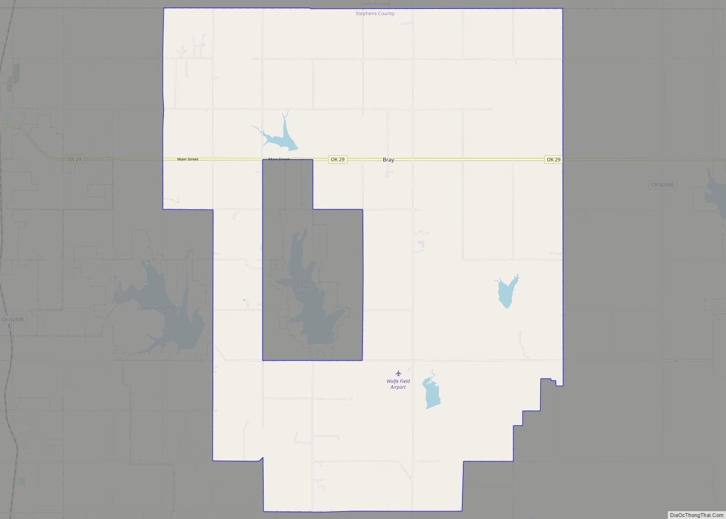
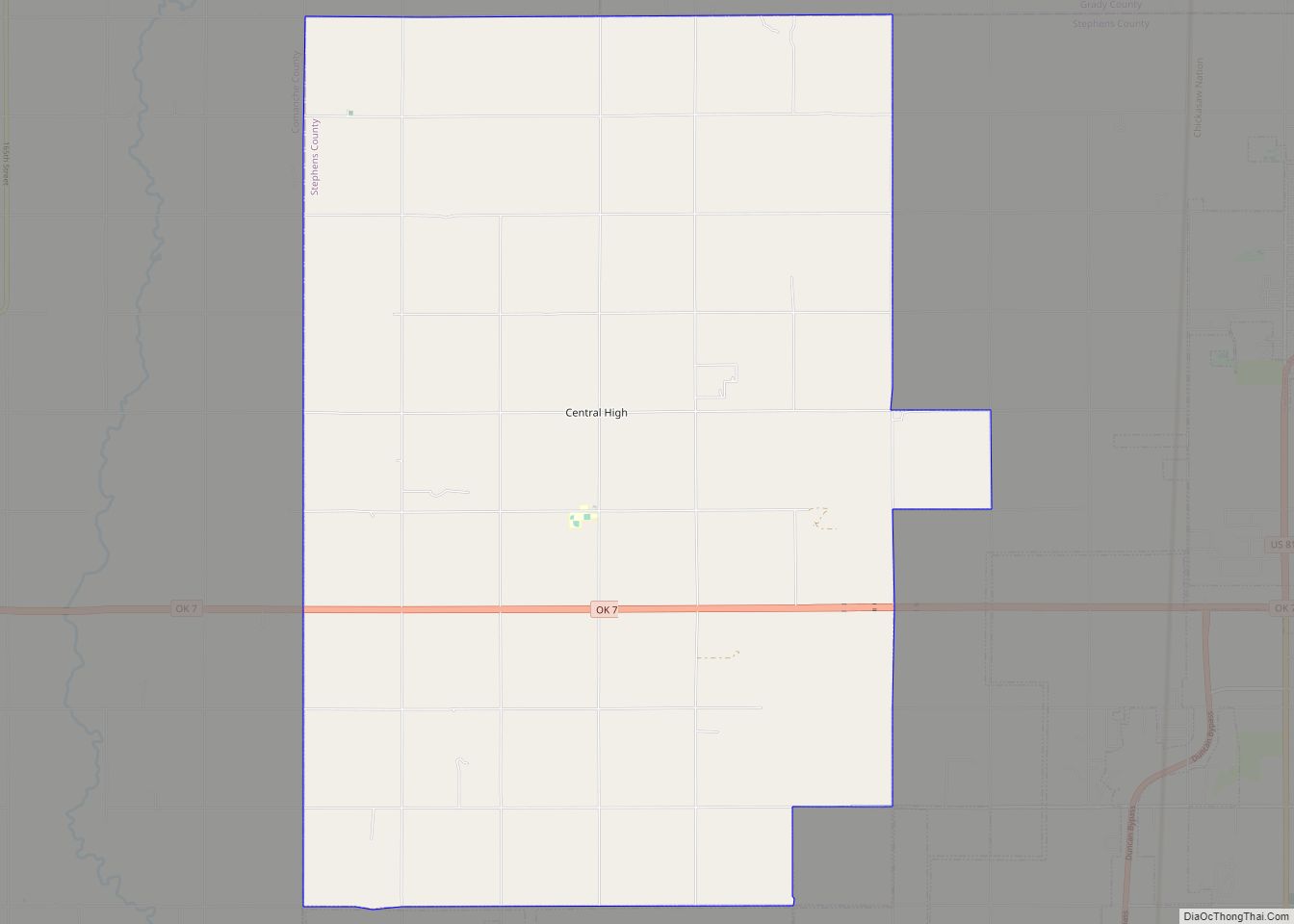
According to the U.S. Census Bureau, the county has a total area of 891 square miles (2,310 km), of which 21 square miles (54 km) (2.4%) are covered by water. It lies within the Red Bed plains. Although no major river is in the county, some creeks provide drainage. Wildhorse Creek in the eastern part flows into the Washita River. Beaver Creek in the western part of the county flows into the Red River. Lakes in the county include Lake Humphreys, Clear Creek Lake, Duncan Lake, Comanche Lake, and Waurika Lake.
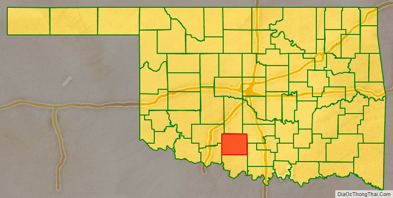
Adjacent counties
- Grady County (north)
- Garvin County (northeast)
- Carter County (southeast)
- Jefferson County (south)
- Cotton County (southwest)
- Comanche County (northwest)
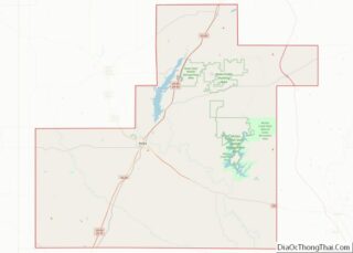
Stephens County Topographic Map
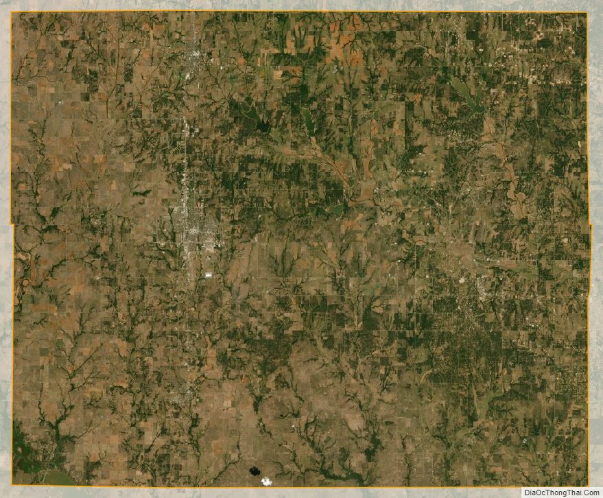
Stephens County Satellite Map
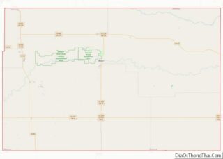
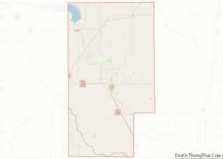
Stephens County Outline Map