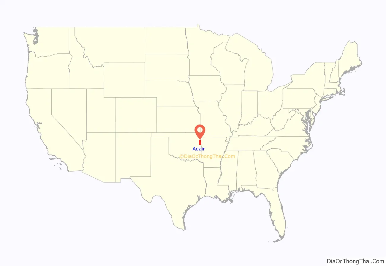
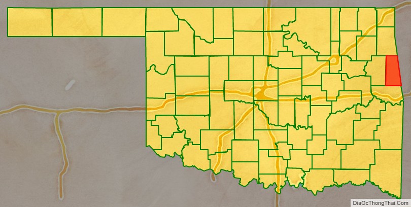
Adair County is a county located in the U.S. state of Oklahoma. As of the 2010 census, the population was 22,286. Its county seat is Stilwell. Adair County was named after the Adair family of the Cherokee tribe. One source says that the county was specifically named for Watt Adair, one of the first Cherokees to settle in the area.
| Name: | Adair County |
|---|---|
| FIPS code: | 40-001 |
| State: | Oklahoma |
| Founded: | July 16, 1907 |
| Named for: | The Adair family of the Cherokee tribe. |
| Seat: | Stilwell |
| Largest city: | Stilwell |
| Total Area: | 577 sq mi (1,490 km²) |
| Land Area: | 573 sq mi (1,480 km²) |
| Total Population: | 22,286 |
| Population Density: | 40/sq mi (20/km²) |
| Time zone: | UTC−6 (Central) |
| Summer Time Zone (DST): | UTC−5 (CDT) |
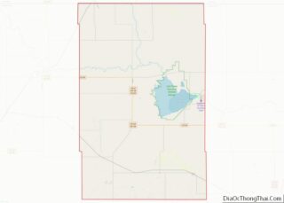
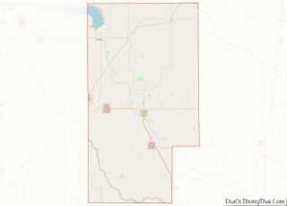
Adair County location map. Where is Adair County?
History
The county was created in 1906 from the Goingsnake and Flint districts of the Cherokee Nation. There was a decade-long struggle over what town would become the county seat between Stilwell and Westville. When the county was formed, Westville was identified as the county seat, due partly to its location at the intersection of two major railroads: the Kansas City Southern Railway and the St. Louis – San Francisco Railway. The county seat was moved to Stilwell in 1910.
During the Great Depression and World War II, strawberries became a major crop in Adair County. In 1948, the first Stilwell Strawberry Festival was organized. The 2002 festival saw some 40,000 people in attendance.
The 1910 census counted 10,535 residents. By 1990, it was up to 18,421.
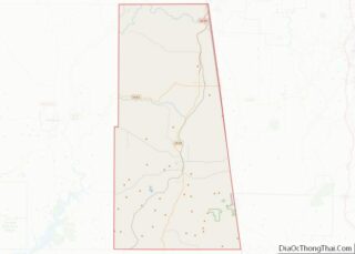
Adair County Road Map
Geography
According to the U.S. Census Bureau, the county has a total area of 577 square miles (1,490 km), of which 573 square miles (1,480 km) is land and 3.6 square miles (9.3 km) (0.6%) is water.
The county is part of the Ozark plateau uplift, the tree-covered foothills of the Boston Mountains. North and central Adair County are drained by the Illinois River and three creeks. Two more creeks lie near Stilwell.
Major highways
- U.S. Highway 59
- U.S. Highway 62
- State Highway 51
Adjacent counties
- Delaware County (north)
- Benton County, Arkansas (northeast)
- Washington County, Arkansas (east)
- Crawford County, Arkansas (southeast)
- Sequoyah County (south)
- Cherokee County (west)
National protected area
- Ozark Plateau National Wildlife Refuge
