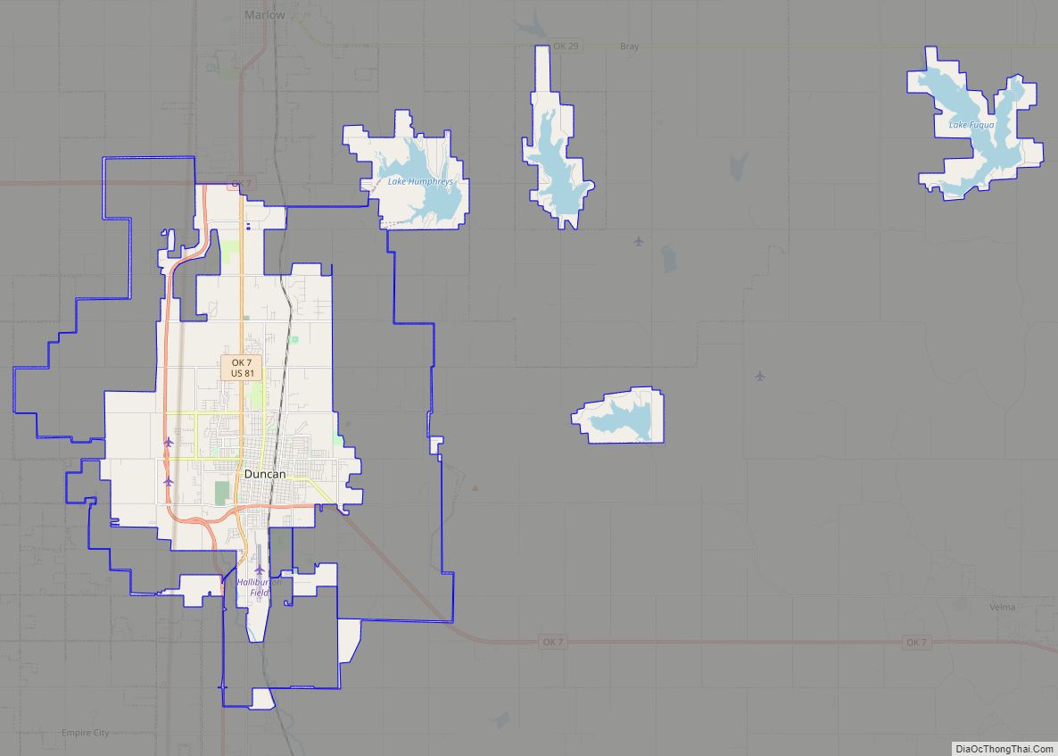
Duncan is a city and county seat of Stephens County, Oklahoma, United States. Its population was 22,310 at the 2020 census. Its main claim to fame is as the birthplace of the Halliburton Corporation. Erle P. Halliburton established the New Method Oil Well Cementing Company in 1919. Halliburton maintains seven different complexes in Duncan plus an employee recreational park, but the corporate offices relocated first to Dallas and later to Houston.
Centrally located in Stephens County, Duncan became the county seat after Oklahoma achieved statehood in 1907. Oil wells opened in Stephens County in 1918 and led to rapid development. Cotton was a dominant crop until the Dust Bowl brought its decline, but cattle remain an important part of the economy. The Chisholm Trail passed to the east of Duncan prior to the town’s founding, which is home to the Chisholm Trail Heritage Center.
| Name: | Duncan city |
|---|---|
| LSAD Code: | 25 |
| LSAD Description: | city (suffix) |
| State: | Oklahoma |
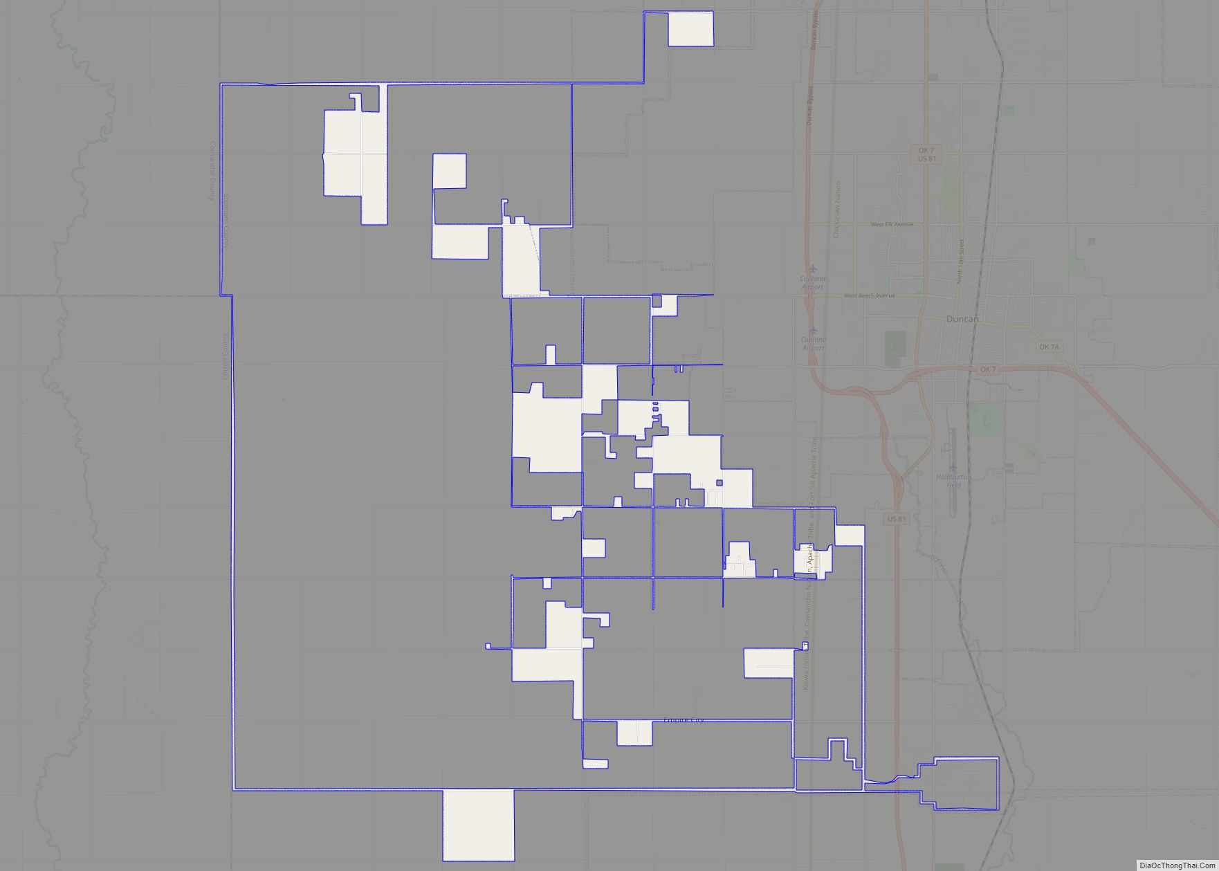
| County: | Stephens County |
| Elevation: | 1,122 ft (342 m) |
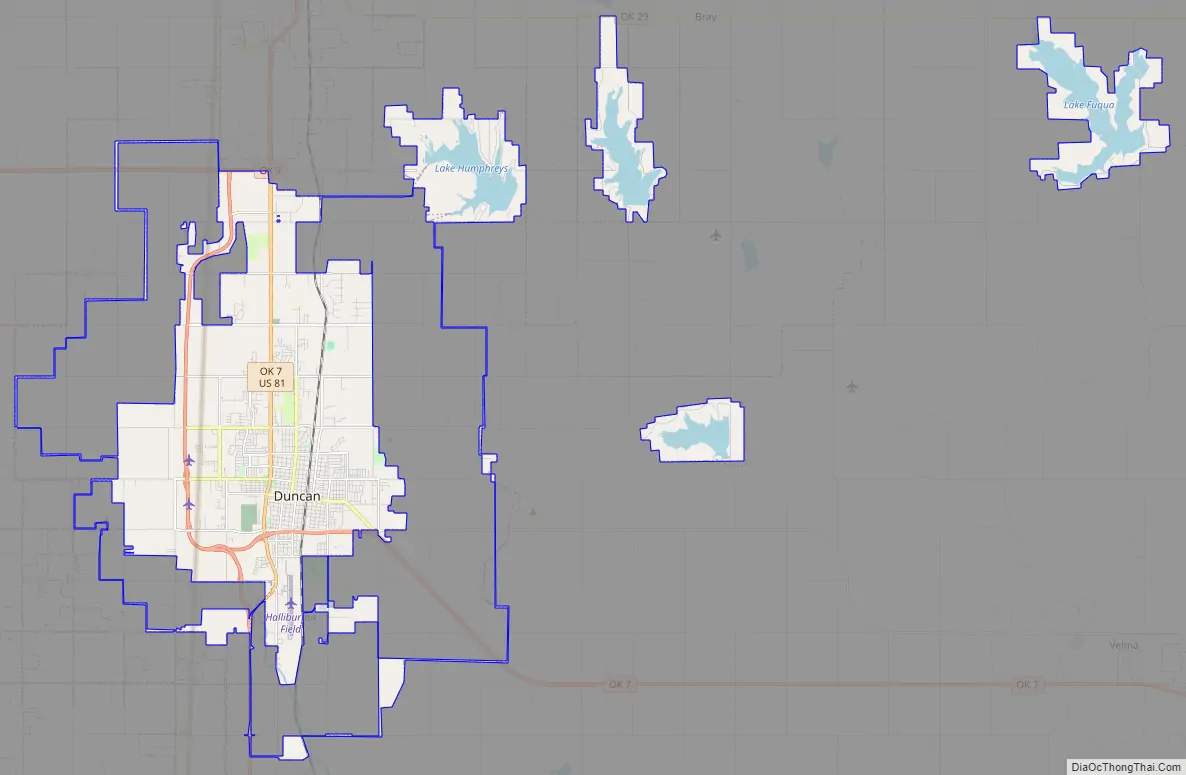
| Total Area: | 47.84 sq mi (123.89 km²) |
| Land Area: | 42.95 sq mi (111.24 km²) |
| Water Area: | 4.88 sq mi (12.65 km²) |
| Total Population: | 22,692 |
| Population Density: | 528.31/sq mi (203.98/km²) |
| ZIP code: | 73533-73599 |
| Area code: | 580 |
| FIPS code: | 4021900 |
| GNISfeature ID: | 1092291 |
| Website: | cityofduncan.com |
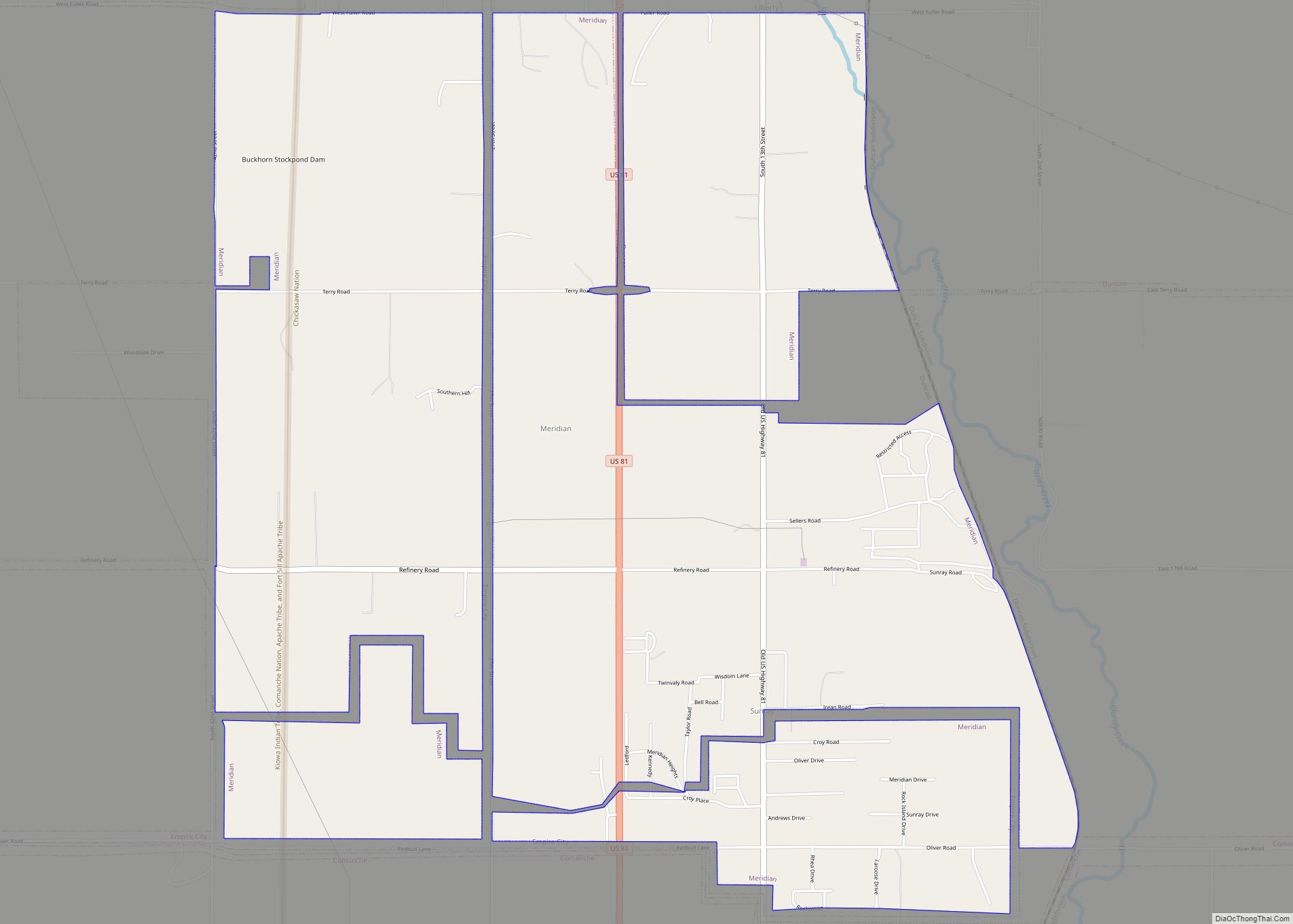
Online Interactive Map
Click on ![]() to view map in "full screen" mode.
to view map in "full screen" mode.
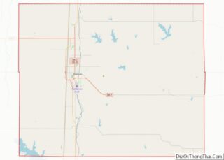
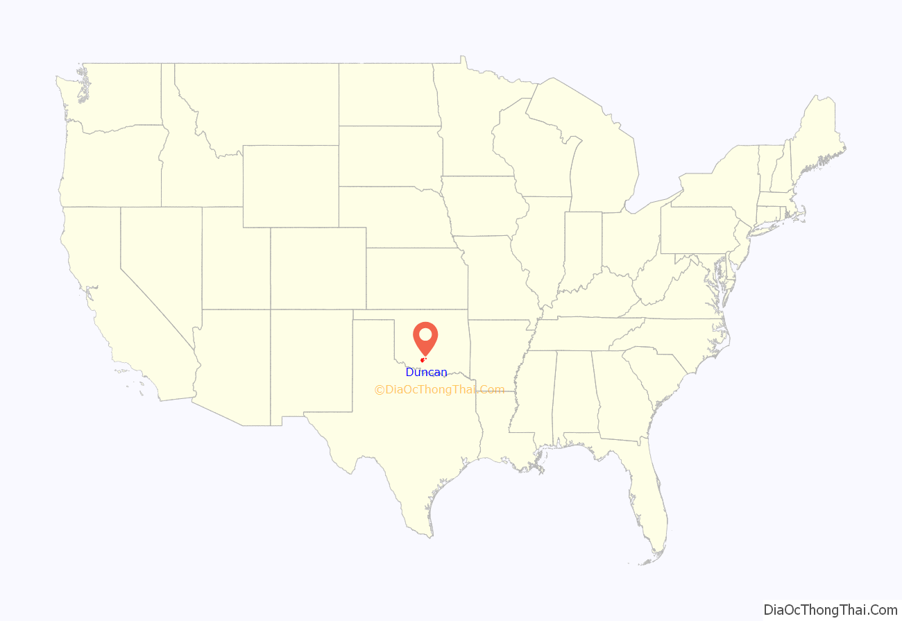
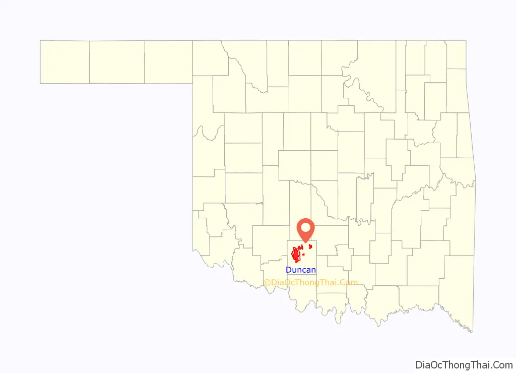
Duncan location map. Where is Duncan city?
History
The Chisholm Trail passed to the east of Duncan prior to the town’s founding. An estimated 9,800,000 Longhorn cattle were herded up the trail between Texas and Abilene, Kansas during its existence. After learning that an extension of the Chicago, Rock Island and Pacific Railroad was being built from Kansas to Texas, Scotsman William Duncan brought his wife, parents, and other relatives and created a trading post situated at the intersection of the north-south Chisholm Trail and the east–west military passage between Fort Arbuckle and Fort Sill. The first train arrived on June 27, 1892; that date is considered the official birth date of the town.
Many of the city’s first buildings were wood frame, but were replaced by sandstone and brick structures after natural disasters destroyed them. Four fires in 1901 burned down several buildings.
At the time of its founding, Duncan was located in Pickens County, Chickasaw Nation.
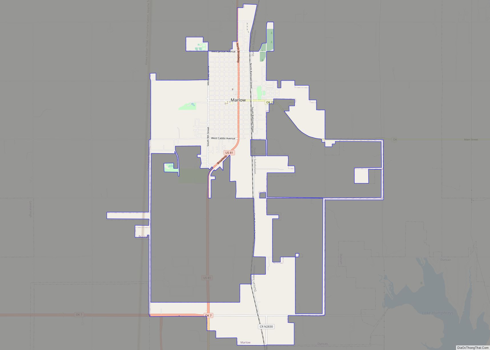
Centrally located in Stephens County, Duncan became the county seat after Oklahoma achieved statehood in 1907. As a compromise between residents of the northern and southern parts of the county, the county courthouse was located in the middle of Duncan’s Main Street, half of it in the northern part of the city and county and half in the southern. Main Street made a wide circle around it on both ends.
Oil wells opened in Stephens County in 1918 led to rapid development in Duncan. Shacks were prohibited immediately following the opening of the wells and other regulations were also put in place to channel the growth in an organized manner.
Several Tudor Revival-style homes were built in the 1930s. Works Progress Administration projects meant to rebuild the economy after the Great Depression resulted in a public library, a senior high school, a stadium, a pool, a school and auditorium for the black community, an armory, and numerous bridges and sidewalks.
Duncan expanded its city limits during an economic surge brought on by World War II. Towards the end of this period, the downtown area began to see a decline.
Duncan Road Map
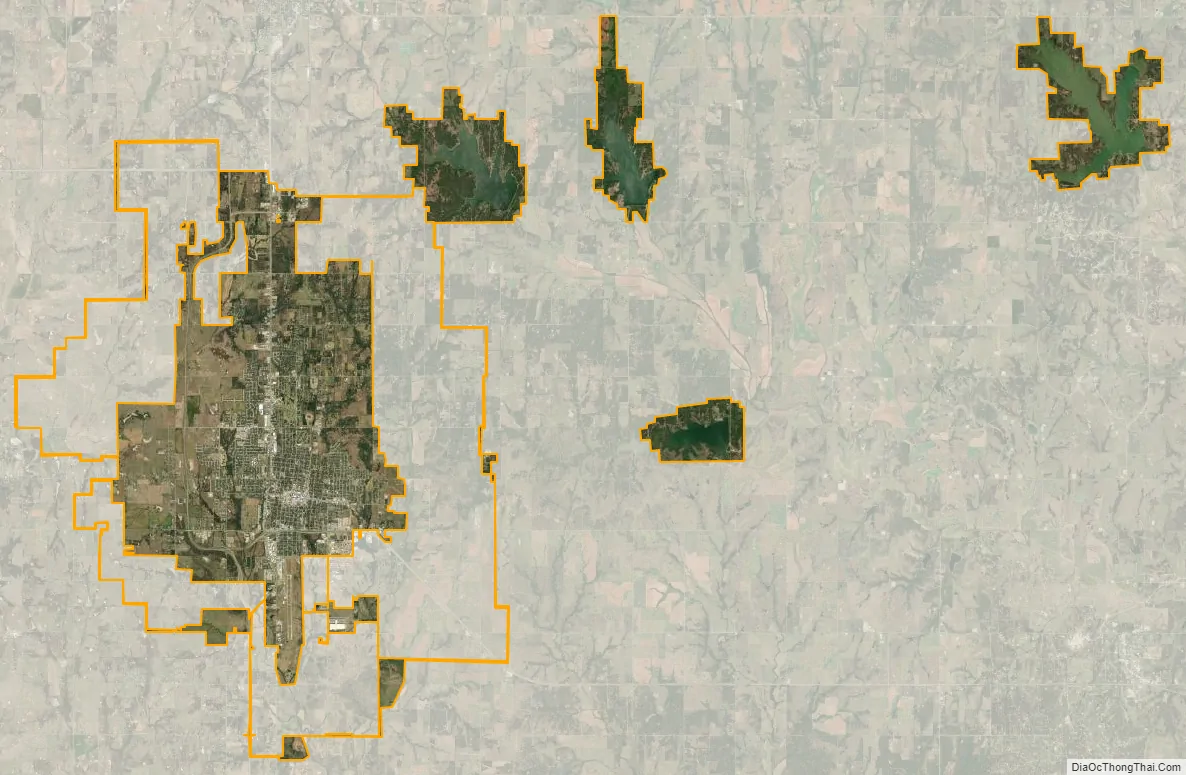
Duncan city Satellite Map
Geography
Duncan is located at 34°30′8″N 97°57′28″W / 34.50222°N 97.95778°W / 34.50222; -97.95778 (34.5023029, -97.9578129). The town is situated approximately 30 miles east of Lawton and 80 miles (130 km) south of Oklahoma City.
According to the United States Census Bureau, the city has a total area of 46.0 square miles (119 km), of which 7.2 square miles (19 km) (15.67%) are covered by water.
Duncan is known for crape myrtle trees, Oklahoma prairie, and rich farmland. State lawmakers designated the city as Oklahoma’s official “Crape Myrtle Capital”. Oklahoma’s grasslands are made up of shortgrass, mixed-grass and tallgrass prairie. The city is part of the Great Plains and has four lakes.
Duncan receives 34 inches of rain per year, with five inches of snowfall. The city also receives an average of 241 sunny days per year. It lies 1,128 feet above mean sea level.
The downtown area lies between Walnut and Willow Avenues, from the railroad tracks to Highway 81.
Climate
See also
Map of Oklahoma State and its subdivision:- Adair
- Alfalfa
- Atoka
- Beaver
- Beckham
- Blaine
- Bryan
- Caddo
- Canadian
- Carter
- Cherokee
- Choctaw
- Cimarron
- Cleveland
- Coal
- Comanche
- Cotton
- Craig
- Creek
- Custer
- Delaware
- Dewey
- Ellis
- Garfield
- Garvin
- Grady
- Grant
- Greer
- Harmon
- Harper
- Haskell
- Hughes
- Jackson
- Jefferson
- Johnston
- Kay
- Kingfisher
- Kiowa
- Latimer
- Le Flore
- Lincoln
- Logan
- Love
- Major
- Marshall
- Mayes
- McClain
- McCurtain
- McIntosh
- Murray
- Muskogee
- Noble
- Nowata
- Okfuskee
- Oklahoma
- Okmulgee
- Osage
- Ottawa
- Pawnee
- Payne
- Pittsburg
- Pontotoc
- Pottawatomie
- Pushmataha
- Roger Mills
- Rogers
- Seminole
- Sequoyah
- Stephens
- Texas
- Tillman
- Tulsa
- Wagoner
- Washington
- Washita
- Woods
- Woodward
- Alabama
- Alaska
- Arizona
- Arkansas
- California
- Colorado
- Connecticut
- Delaware
- District of Columbia
- Florida
- Georgia
- Hawaii
- Idaho
- Illinois
- Indiana
- Iowa
- Kansas
- Kentucky
- Louisiana
- Maine
- Maryland
- Massachusetts
- Michigan
- Minnesota
- Mississippi
- Missouri
- Montana
- Nebraska
- Nevada
- New Hampshire
- New Jersey
- New Mexico
- New York
- North Carolina
- North Dakota
- Ohio
- Oklahoma
- Oregon
- Pennsylvania
- Rhode Island
- South Carolina
- South Dakota
- Tennessee
- Texas
- Utah
- Vermont
- Virginia
- Washington
- West Virginia
- Wisconsin
- Wyoming