Map of Coldfoot CDP

Map of Coldfoot CDP

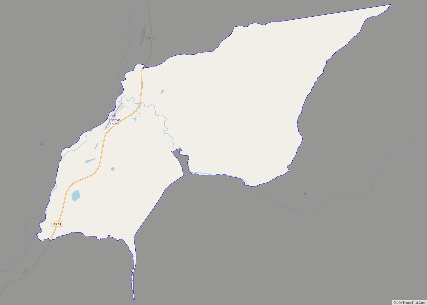
Coldfoot is a census-designated place (CDP) in Yukon-Koyukuk Census Area in the U.S. state of Alaska. The population was 34 at the 2020 census. It is said that the name was derived from travelers getting “cold feet” about making the 240-some-mile journey north to Deadhorse. Coldfoot primarily serves as a truck stop on the Dalton … Read more

Map of Cold Bay city

Map of Cold Bay city

Cold Bay (Aleut: Udaamagax,; Sugpiaq: Pualu) is a city in Aleutians East Borough, Alaska, United States. As of the 2010 census, the population was 108, but at the 2020 census this had reduced to 50. Cold Bay is one of the main commercial centers of the Alaska Peninsula, which extends west towards the Aleutian Islands, … Read more

Map of Cohoe CDP

Map of Cohoe CDP

Cohoe (Dena’ina: Qughuhnaz’ut) is a census-designated place (CDP) in Kenai Peninsula Borough, Alaska, United States. At the 2010 census the population was 1,364, up from 1,168 in 2000. Cohoe CDP overview: Name: Cohoe CDP LSAD Code: 57 LSAD Description: CDP (suffix) State: Alaska County: Kenai Peninsula Borough Elevation: 56 ft (17 m) Total Area: 73.37 sq mi (190.03 km²) Land Area: … Read more

Map of College CDP

Map of College CDP

College (Lower Tanana: Trothyeddha’) is a census-designated place (CDP) in Fairbanks North Star Borough, Alaska, United States. It is part of the Fairbanks, Alaska Metropolitan Statistical Area. As of the 2020 census, the population was 11,332, down from 12,964 in 2010. College is the third-most populated CDP in Alaska. College is adjacent to the city … Read more

Map of Copper Center CDP

Map of Copper Center CDP

Copper Center (Tl’aticae’e in Ahtna) is a census-designated place (CDP) on the Copper River in Copper River Census Area, Alaska, United States. It is two hundred kilometers northeast of Anchorage. At the 2020 census the population was 338, up from 328 in 2000. Copper Center CDP overview: Name: Copper Center CDP LSAD Code: 57 LSAD … Read more

Map of Cooper Landing CDP

Map of Cooper Landing CDP

Cooper Landing is a census-designated place (CDP) in Kenai Peninsula Borough, Alaska, United States, about 100 miles (160 km) south of Anchorage, at the outlet of Kenai Lake into the Kenai River. The town was first settled in the 19th century by gold and mineral prospectors, and has become a popular summer tourist destination thanks to … Read more

Map of Craig city

Map of Craig city, Alaska

Craig (Tlingit: Sháan Séet) is a city in the Prince of Wales-Hyder Census Area in the Unorganized Borough in the U.S. state of Alaska. The population was 1,036 at the 2020 census, down from 1,201 in 2010. Craig city overview: Name: Craig city LSAD Code: 25 LSAD Description: city (suffix) State: Alaska County: Prince of … Read more

Map of Covenant Life CDP

Map of Covenant Life CDP

Covenant Life is a census-designated place (CDP) in Haines Borough, Alaska, United States. At the 2020 census the population was 25, down from 86 at the 2010 census. It is a community of people with common religious beliefs, with a panel of church elders who set policy for the community’s common church, K-12 school, and … Read more

Map of Cordova city

Map of Cordova city, Alaska

Cordova (/kɔːrˈdoʊvə, ˈkɔːrdəvə/ kor-DOH-və, KOR-də-və) is a city in Chugach Census Area, Alaska, United States. It lies near the mouth of the Copper River, at the head of Orca Inlet on the east side of Prince William Sound. The population was 2,609 at the 2020 census, up from 2,239 in 2010. Cordova was named Puerto … Read more

Map of Deering city

Map of Deering city, Alaska

Deering (Inupiaq: Ipnatchiaq or Ipnasiaq) is a city in the Northwest Arctic Borough in the U.S. state of Alaska. It is located on a sandy spit on the Seward Peninsula where the Inmachuk River flows into Kotzebue Sound, 92 km (57 mi) southwest of Kotzebue. As of the 2020 census, the population was 182, up from 136 … Read more

Map of Crown Point CDP

Map of Crown Point CDP, Alaska

Crown Point is a census-designated place (CDP) in Kenai Peninsula Borough, Alaska, United States. The population was 74 at the 2010 census. Land access to this area is by either the Alaska Railroad or the Seward Highway. Crown Point CDP overview: Name: Crown Point CDP LSAD Code: 57 LSAD Description: CDP (suffix) State: Alaska County: … Read more

Map of Crooked Creek CDP

Map of Crooked Creek CDP, Alaska

Crooked Creek (Central Yupik: Qipcarpak) is a census-designated place (CDP) in Bethel Census Area, Alaska, United States. As of the 2010 census, the population of the CDP was 105, down from 137 in 2000. Crooked Creek CDP overview: Name: Crooked Creek CDP LSAD Code: 57 LSAD Description: CDP (suffix) State: Alaska County: Bethel Census Area … Read more