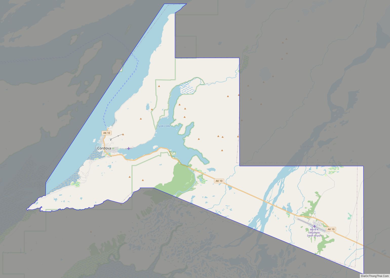
Cordova (/kɔːrˈdoʊvə, ˈkɔːrdəvə/ kor-DOH-və, KOR-də-və) is a city in Chugach Census Area, Alaska, United States. It lies near the mouth of the Copper River, at the head of Orca Inlet on the east side of Prince William Sound. The population was 2,609 at the 2020 census, up from 2,239 in 2010.
Cordova was named Puerto Córdoba (after Córdoba, Spain) by Spanish explorer Salvador Fidalgo in 1790. No roads connect Cordova to other Alaskan communities, so a plane or ferry is required to travel there. In the Exxon Valdez oil spill of March 1989, an oil tanker ran aground northwest of Cordova, heavily damaging ecology and fishing. It was cleaned up shortly after, but there are lingering effects, such as a lowered population of some birds.
| Name: | Cordova city |
|---|---|
| LSAD Code: | 25 |
| LSAD Description: | city (suffix) |
| State: | Alaska |
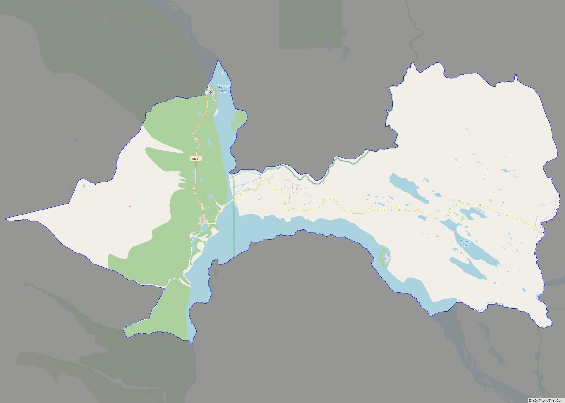
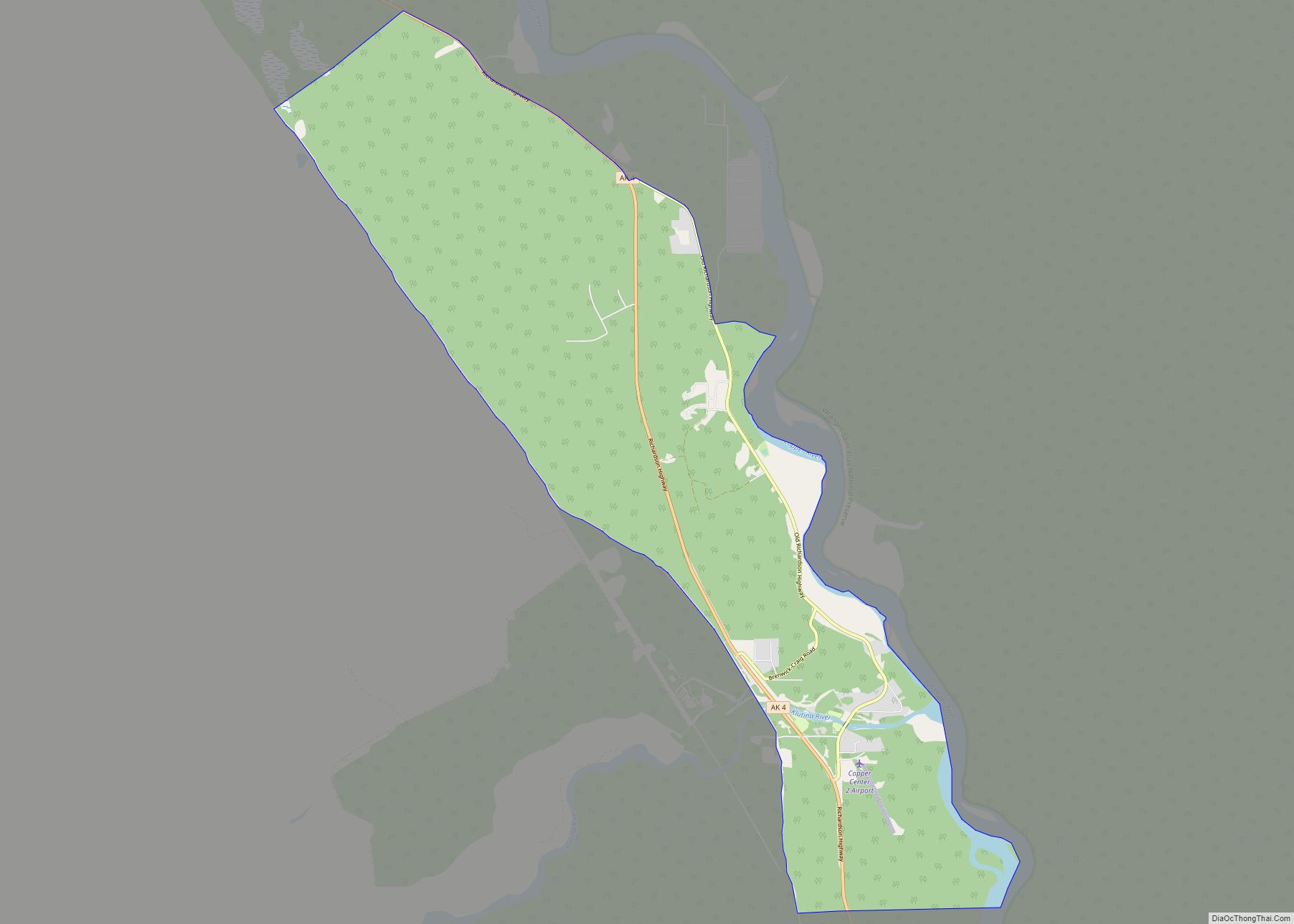
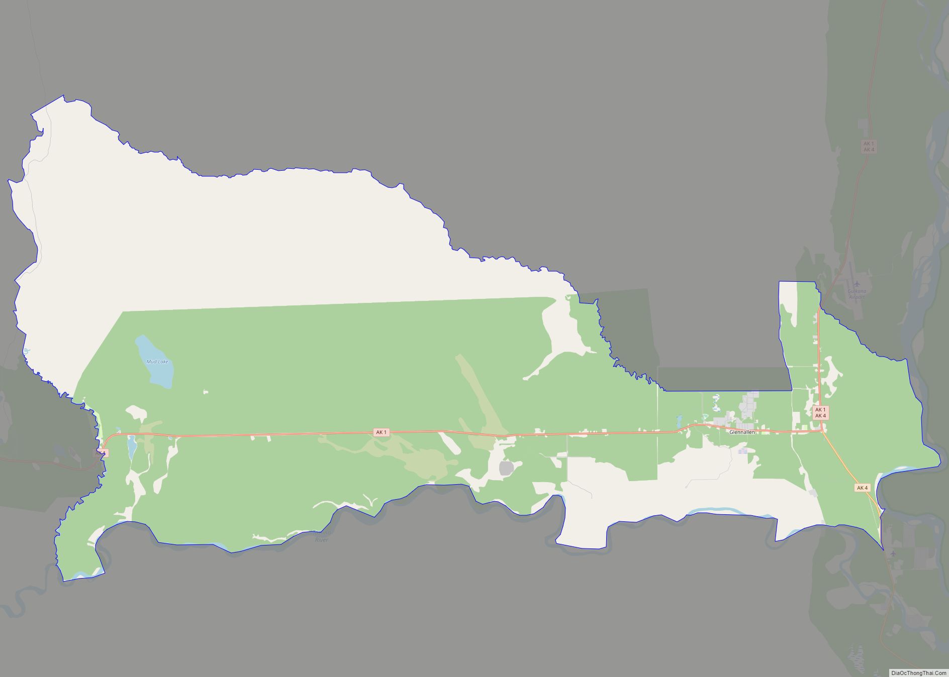
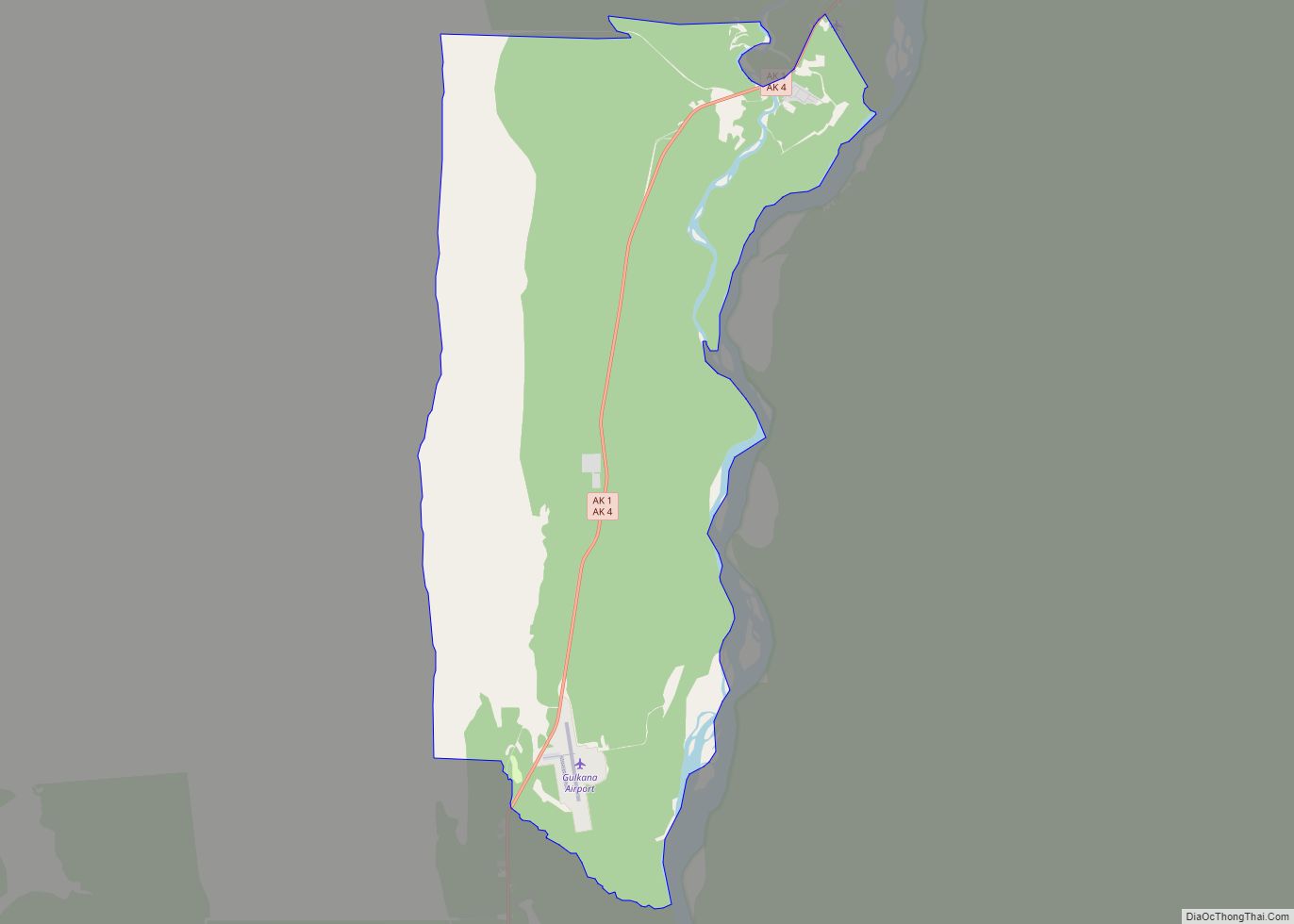
| County: | Valdez-Cordova Census Area |
| Incorporated: | July 8, 1909 |
| Elevation: | 82 ft (25 m) |
| Total Area: | 75.14 sq mi (194.62 km²) |
| Land Area: | 61.35 sq mi (158.89 km²) |
| Water Area: | 13.80 sq mi (35.73 km²) |
| Total Population: | 2,609 |
| Population Density: | 42.53/sq mi (16.42/km²) |
| ZIP code: | 99574 |
| Area code: | 907 |
| FIPS code: | 0217410 |
| GNISfeature ID: | 1421215 |
| Website: | CityofCordova.net |
Online Interactive Map
Click on ![]() to view map in "full screen" mode.
to view map in "full screen" mode.
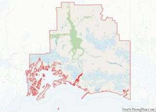
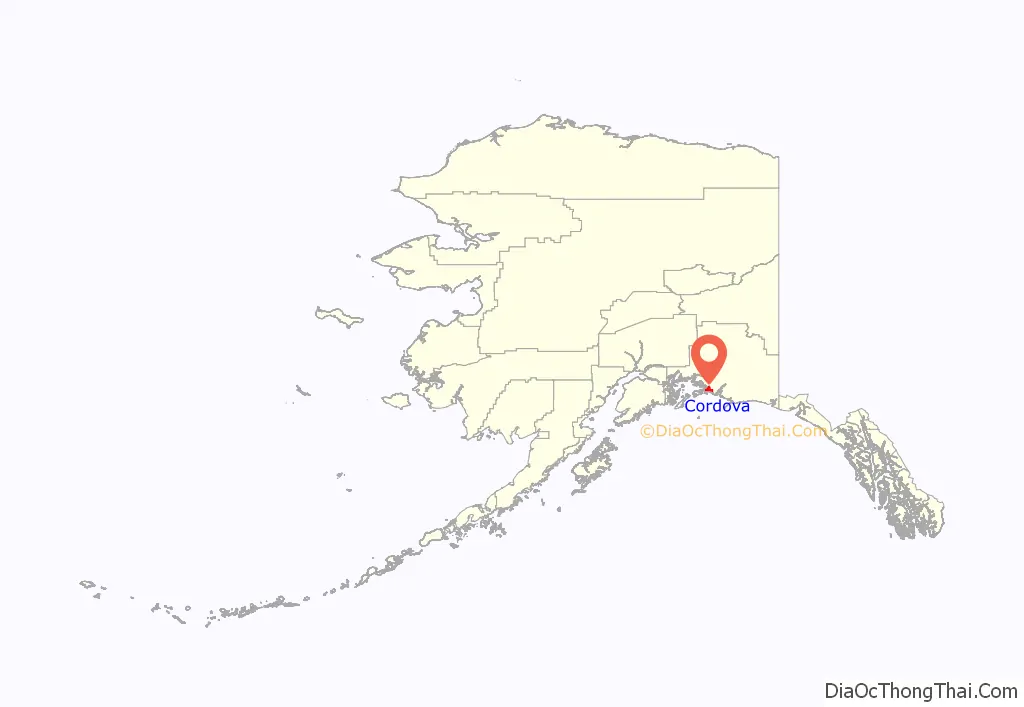
Cordova location map. Where is Cordova city?
History
In 1790, the inlet in front of the current Cordova townsite was named Puerto Cordova by Spanish explorer Salvador Fidalgo, after Spanish admiral Luis de Córdova y Córdova. The city of Cordova was named after it, although the inlet itself was later renamed the Orca Inlet. Cordova proper was founded as a result of the discovery of high-grade copper ore at Kennecott, north of Cordova. A group of surveyors from Valdez laid out a town site and Michael James Heney purchased half the land for the terminus of the Copper River and Northwestern Railway after determining that the neighboring town of Katalla was a poor harbor. Heney and his crew held a brief ceremony to organize the town on March 26, 1906. A week later, crews arrived to begin work on the railroad. The first lots in the new town site, making up the heart of present-day Cordova, were sold at auction in May 1908. As the railroad grew, so did the town. Eventually schools, businesses, a hospital, and utilities were established. After the railroad was completed, Cordova became the transportation hub for the ore coming out of Kennecott. From 1911 to 1938, more than 200 million tons of copper ore were transported through Cordova.
The area around Cordova was historically home to the Eyak, with a population of Chugach to the west, and occasional visits from Ahtna and Tlingit people for trade or battle. The last fluent Eyak speaker Marie Smith Jones died in 2008, but the native people, as well as their traditions and lifestyle, continue to thrive in the region. Cordova was also once the home of a booming razor clam industry. Between 1916 and the late 1950s, it was known as the “Razor Clam Capital of the World”. Commercial harvest in the area reached as high as 3.5 million pounds. Returns began declining in the late 1950s, presumably due to overharvesting and a large die-off in 1958. The 1964 Good Friday earthquake effectively obliterated the industry; in some areas, the ground was thrust up by as much as six feet, exposing the already depleted clam beds. There has been no commercial harvest in the area since 1988 with the exception of a brief harvest in 1993.
In March 1989 the Exxon Valdez oil tanker ran aground on Bligh Reef north of Cordova causing one of the most devastating environmental disasters in North America. The Exxon Valdez oil spill severely affected the area’s salmon and herring populations leading to a recession of the local fishing-reliant economy as well as a disruption to the area’s ecology. After many years of litigation, 450 million dollars were awarded for compensatory and punitive damages.
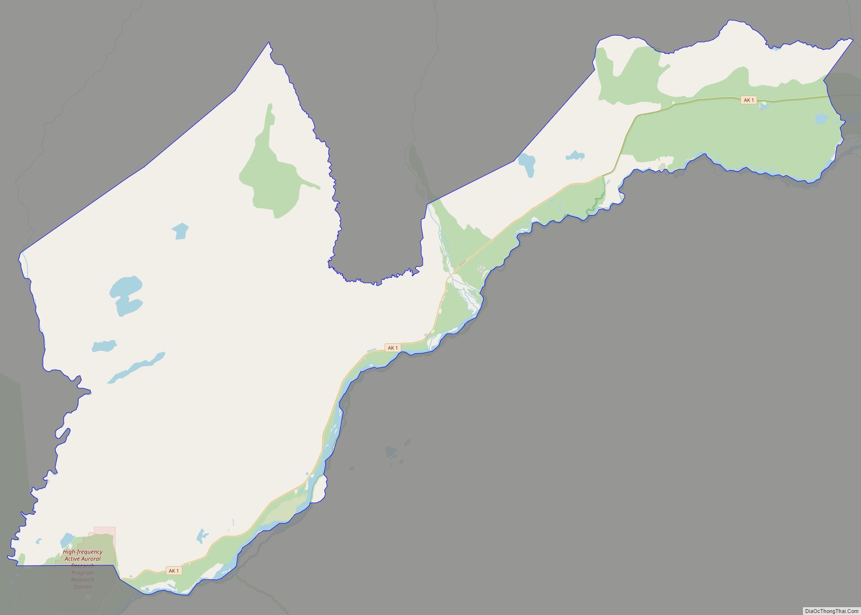
Cordova Road Map
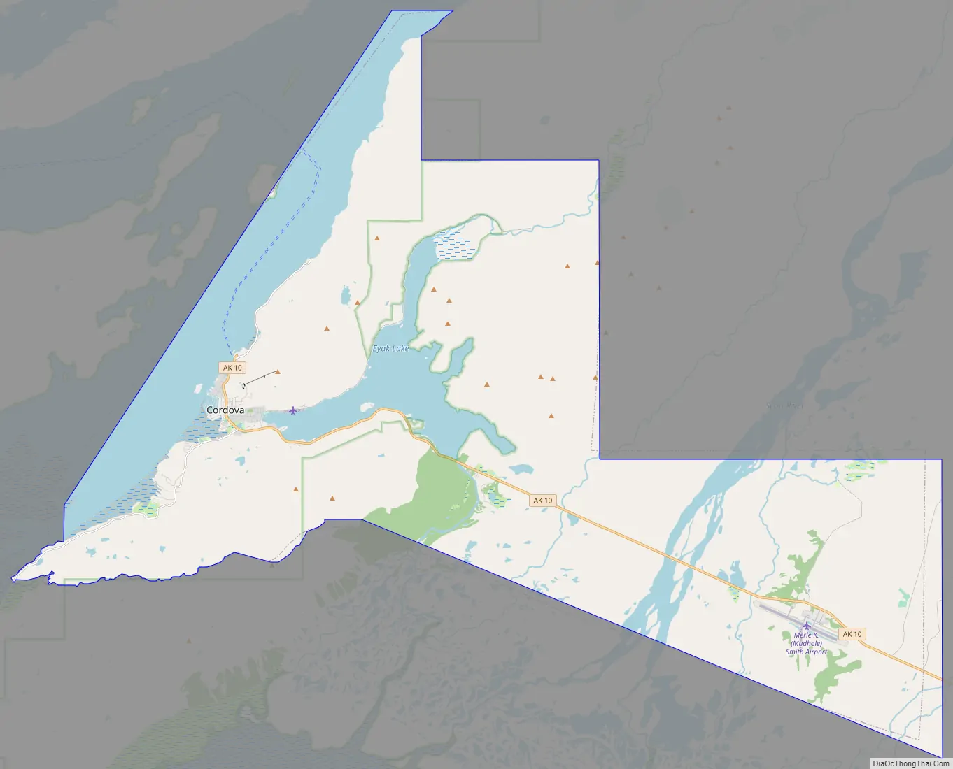
Cordova city Satellite Map
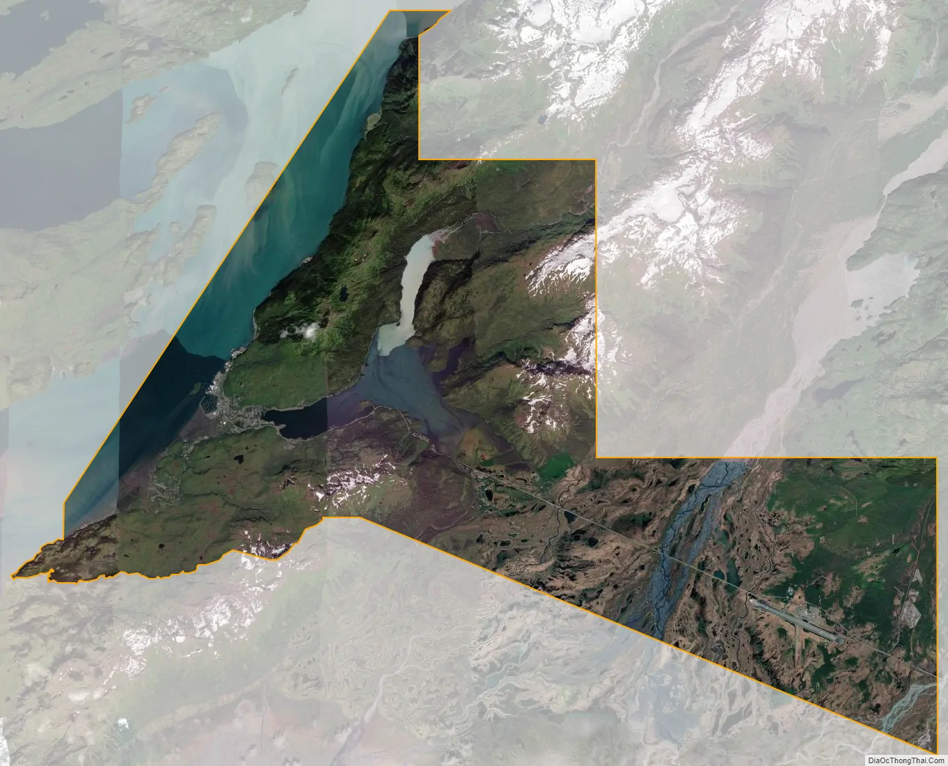
Geography
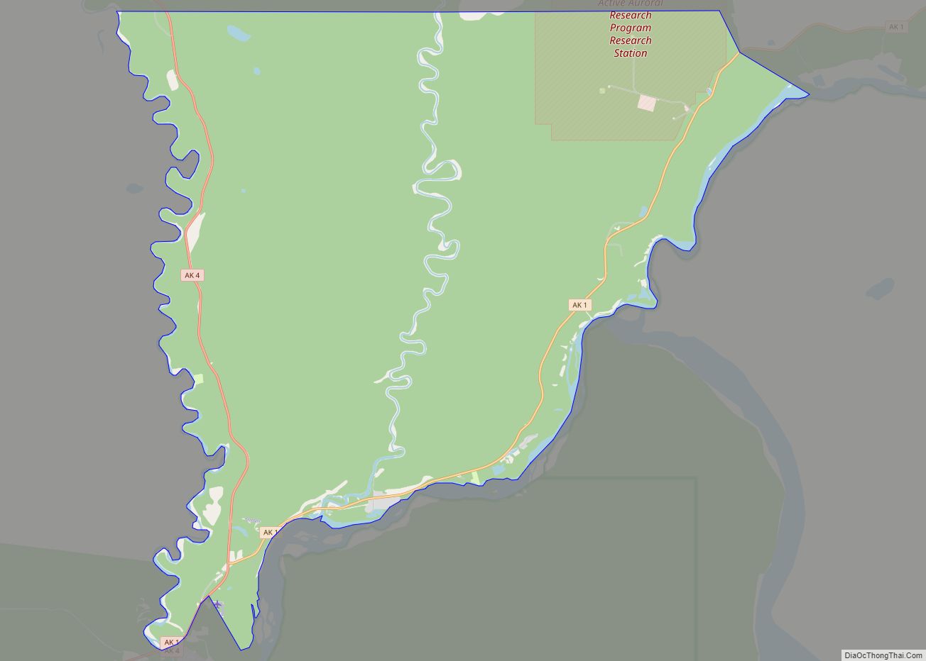
Cordova is located within the Chugach National Forest at 60°32′34.1″N 145°45′36.59″W / 60.542806°N 145.7601639°W / 60.542806; -145.7601639 (60.542805, −145.760164). According to the United States Census Bureau, the city has a total area of 75.6 square miles (196 km), of which, 61.4 square miles (159 km) of it is land and 14.3 square miles (37 km) of it is water. The total area is 18.87% water.
Climate
Cordova has a subpolar oceanic climate (Cfc) bordering on a humid continental climate (Dfb) with cool to mild, rainy summers and moderately cold, extremely snowy winters. Precipitation is very heavy year round.
Cordova has a subpolar oceanic climate (Cfc) according to the Köppen climate classification system with cool temperatures and heavy rainfall caused by orographic lift. Westerly winds coming off the North Pacific Ocean are forced upwards by the Chugach Mountains which causes the air mass to cool and creates clouds and precipitation. The yearly average rainfall is 148.37 inches (3,769 mm), with 125 rainy days out of the year. Snow falls mostly from December to March, and an average of 127 inches (320 cm) falls yearly. Winter temperatures reach lows of 15 °F (−9 °C) and the warmest summer temperatures are around 77 °F (25 °C).
Most official climate data is recorded at the airport, which is 11 miles from the settlement. Temperatures and precipitation vary drastically between the city and the airport, and precipitation at the city is commonly twice that of the airport.
See also
Map of Alaska State and its subdivision:- Aleutians East
- Aleutians West
- Anchorage
- Bethel
- Bristol Bay
- Denali
- Dillingham
- Fairbanks North Star
- Haines
- Juneau
- Kenai Peninsula
- Ketchikan Gateway
- Kodiak Island
- Lake and Peninsula
- Matanuska-Susitna
- Nome
- North Slope
- Northwest Arctic
- Prince of Wales-Outer Ketchi
- Sitka
- Skagway-Yakutat-Angoon
- Southeast Fairbanks
- Valdez-Cordova
- Wade Hampton
- Wrangell-Petersburg
- Yukon-Koyukuk
- Alabama
- Alaska
- Arizona
- Arkansas
- California
- Colorado
- Connecticut
- Delaware
- District of Columbia
- Florida
- Georgia
- Hawaii
- Idaho
- Illinois
- Indiana
- Iowa
- Kansas
- Kentucky
- Louisiana
- Maine
- Maryland
- Massachusetts
- Michigan
- Minnesota
- Mississippi
- Missouri
- Montana
- Nebraska
- Nevada
- New Hampshire
- New Jersey
- New Mexico
- New York
- North Carolina
- North Dakota
- Ohio
- Oklahoma
- Oregon
- Pennsylvania
- Rhode Island
- South Carolina
- South Dakota
- Tennessee
- Texas
- Utah
- Vermont
- Virginia
- Washington
- West Virginia
- Wisconsin
- Wyoming