Craig (Tlingit: Sháan Séet) is a city in the Prince of Wales-Hyder Census Area in the Unorganized Borough in the U.S. state of Alaska. The population was 1,036 at the 2020 census, down from 1,201 in 2010.
| Name: | Craig city |
|---|---|
| LSAD Code: | 25 |
| LSAD Description: | city (suffix) |
| State: | Alaska |
| County: | Prince of Wales-Hyder Census Area |
| Incorporated: | March 1, 1922 (2nd-class city) |
| Elevation: | 23 ft (7 m) |
| Total Area: | 9.51 sq mi (24.62 km²) |
| Land Area: | 6.69 sq mi (17.32 km²) |
| Water Area: | 2.82 sq mi (7.30 km²) |
| Population Density: | 154.90/sq mi (59.81/km²) |
| ZIP code: | 99921 |
| Area code: | 907 |
| FIPS code: | 0217740 |
| GNISfeature ID: | 1421260 |
| Website: | www.CraigAK.com |
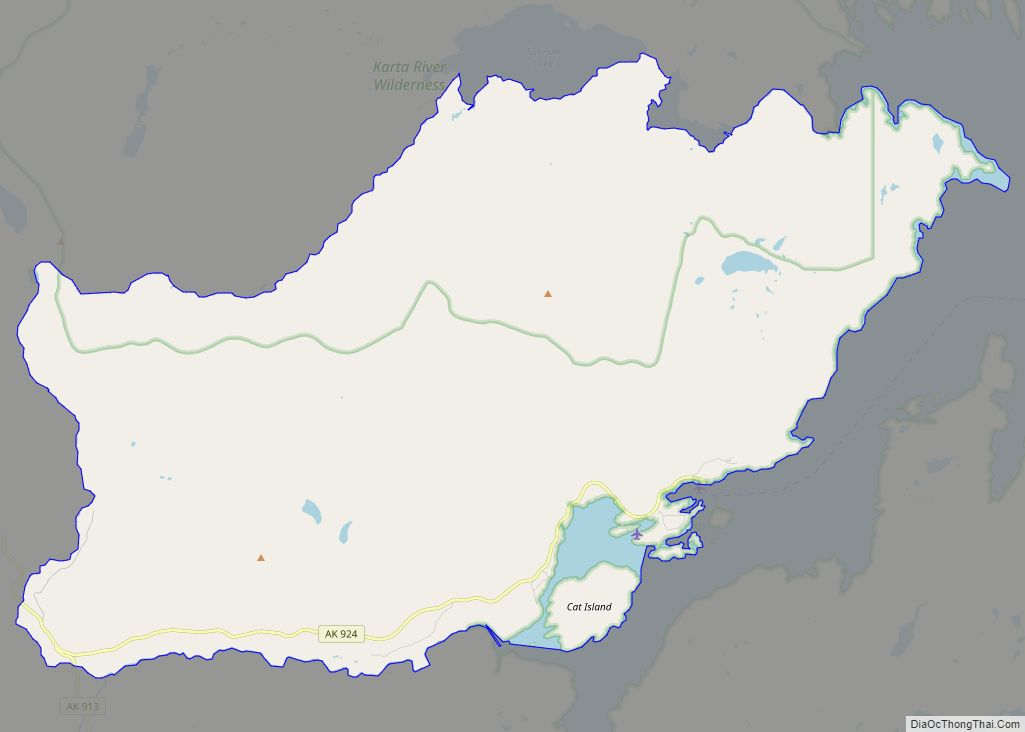
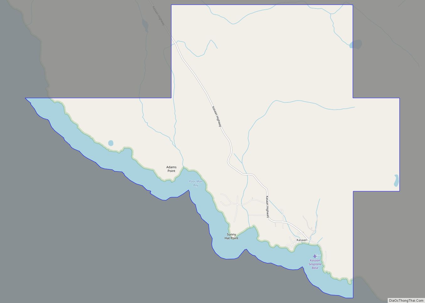
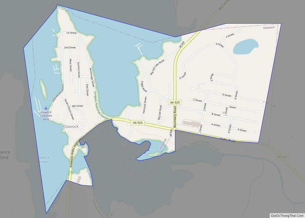
Online Interactive Map
Click on ![]() to view map in "full screen" mode.
to view map in "full screen" mode.
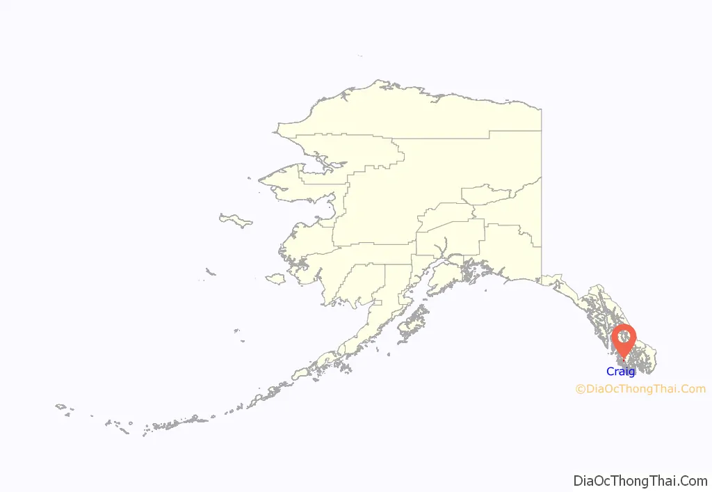
Craig location map. Where is Craig city?
History
Originally, Craig’s townsite was a temporary fishing camp used for gathering herring.
Name
Craig was named after Craig Miller (also spelled Millar) who established a fish saltery on nearby Fish Egg Island in 1907 with the assistance of the local Haida natives who moved onto Prince of Wales Island, being driven from Haida Gwaii (British Columbia’s Queen Charlotte Islands) starting in the 18th century. Craig Miller constructed a cold storage plant and packing company at the present site of Craig, and in 1922 was instrumental in the incorporation of the city (originally as an Alaska second-class city within the Alaska Territory, pre-statehood).
Growth
The commercial fishing industry was responsible for Craig’s relatively large population compared to neighboring communities. In the 1930s, record pink salmon runs brought many new settlers. The 1950s saw a collapse of the fishing industry because of depleted salmon populations. In 1972, a large sawmill was established nearby providing a steady source of year-round employment. Today, Craig relies on commercial fishing, fish processing, and the timber industry.
1982 deaths
On September 7, 1982, the fishing boat Investor was found burning off the coast of Craig, and the boat’s passengers and crew were found to have been killed. Due to the badly burned state of the bodies, investigators were only certain that they had recovered the remains of seven bodies, but a coroner’s jury ruled that all eight who were aboard the boat had been killed. The boat’s owner, Mark Coulthurst, from Blaine, Washington, his wife Irene, and their two young children were among the victims. In September 1984, a suspect, John Kenneth Peel, from Bellingham, Washington, was arrested for the murders. Peel’s first trial ended in a hung jury, and his retrial, in 1988, ended in his acquittal.
2013 earthquake
On January 5, 2013, at 3:58 am ET Craig was hit by a 7.5-magnitude offshore earthquake 63 miles (102 km) west of the town. Regional tsunami warnings and advisories were issued. Voluntary evacuations of the town occurred. Despite this, no fatalities, serious injuries, or incidents of damage were reported and the tsunami threat never materialized other than minor, localized sea level rises.
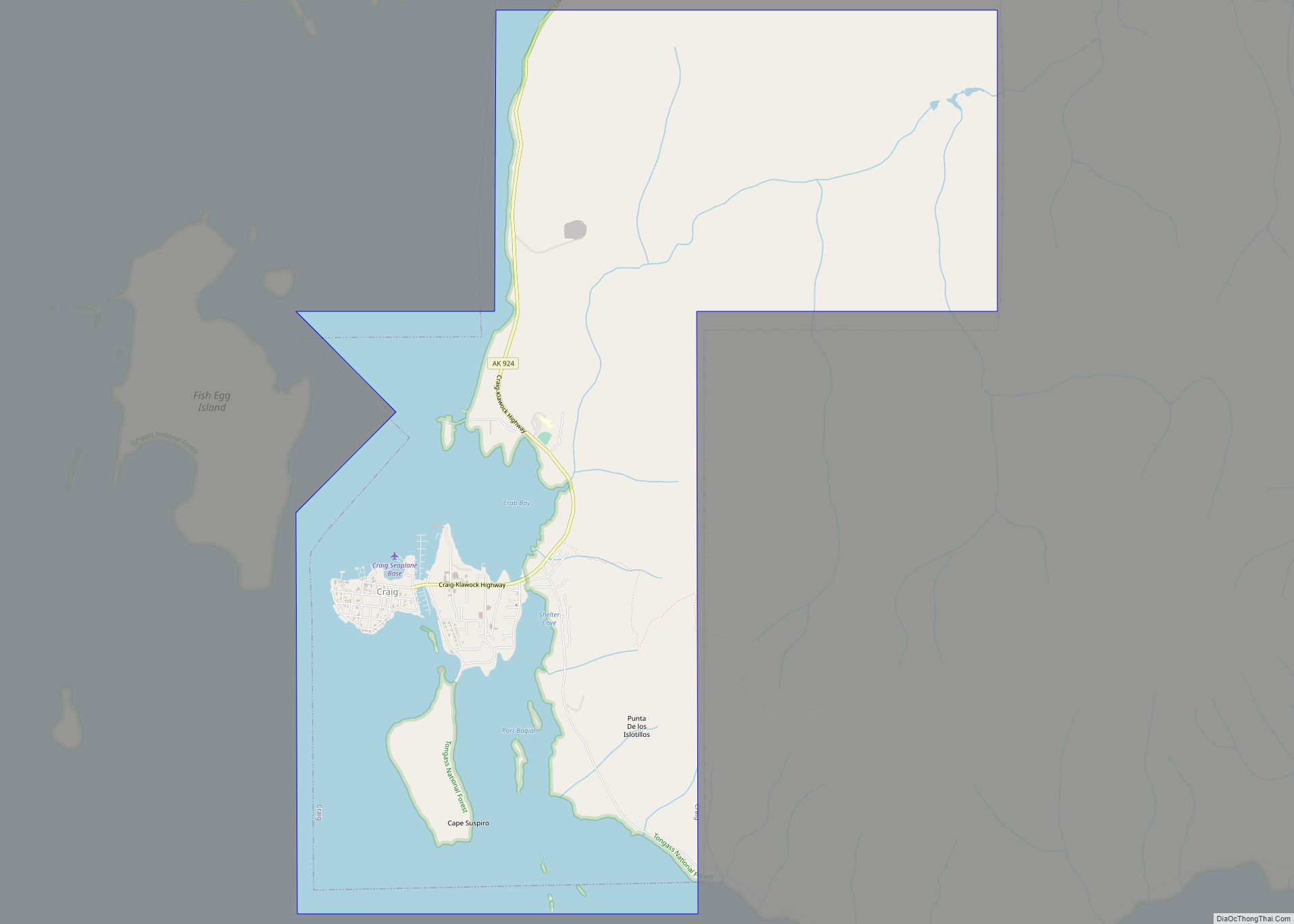
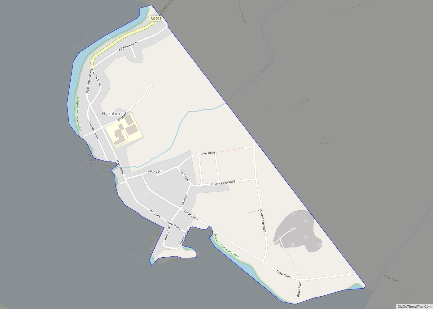
Craig Road Map
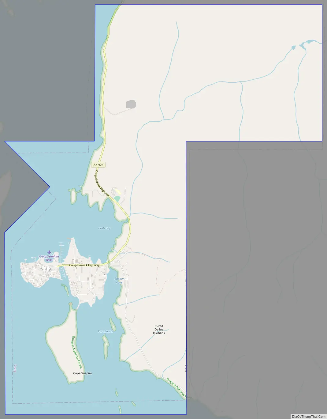
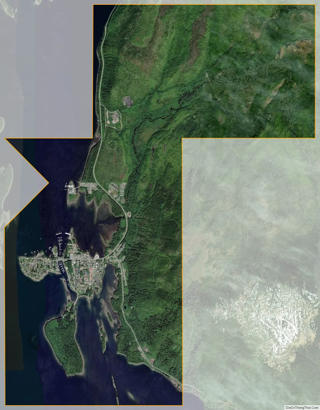
Craig city Satellite Map
Geography
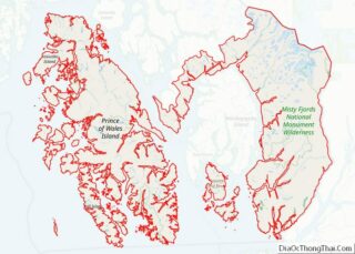
Craig is the largest town on Prince of Wales Island, the fourth-largest island in the United States. Craig is approximately 56 miles (90 km) by air northwest of Ketchikan and 220 miles (350 km) south of Juneau.
According to the United States Census Bureau, the city has a total area of 9.4 square miles (24.3 km), of which, 6.7 square miles (17.4 km) of it is land and 2.7 square miles (7.0 km) of it (28.94%) is water.
See also
Map of Alaska State and its subdivision:- Aleutians East
- Aleutians West
- Anchorage
- Bethel
- Bristol Bay
- Denali
- Dillingham
- Fairbanks North Star
- Haines
- Juneau
- Kenai Peninsula
- Ketchikan Gateway
- Kodiak Island
- Lake and Peninsula
- Matanuska-Susitna
- Nome
- North Slope
- Northwest Arctic
- Prince of Wales-Outer Ketchi
- Sitka
- Skagway-Yakutat-Angoon
- Southeast Fairbanks
- Valdez-Cordova
- Wade Hampton
- Wrangell-Petersburg
- Yukon-Koyukuk
- Alabama
- Alaska
- Arizona
- Arkansas
- California
- Colorado
- Connecticut
- Delaware
- District of Columbia
- Florida
- Georgia
- Hawaii
- Idaho
- Illinois
- Indiana
- Iowa
- Kansas
- Kentucky
- Louisiana
- Maine
- Maryland
- Massachusetts
- Michigan
- Minnesota
- Mississippi
- Missouri
- Montana
- Nebraska
- Nevada
- New Hampshire
- New Jersey
- New Mexico
- New York
- North Carolina
- North Dakota
- Ohio
- Oklahoma
- Oregon
- Pennsylvania
- Rhode Island
- South Carolina
- South Dakota
- Tennessee
- Texas
- Utah
- Vermont
- Virginia
- Washington
- West Virginia
- Wisconsin
- Wyoming