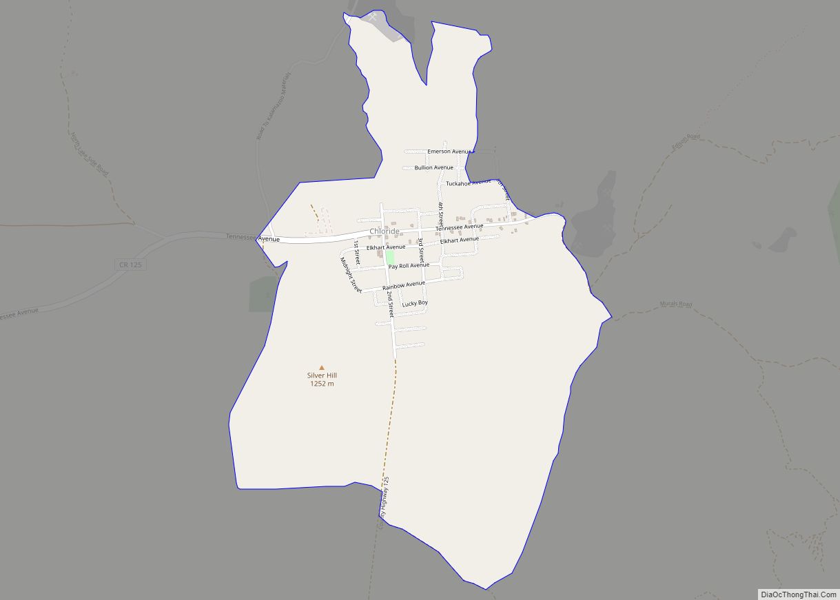
Chloride is a onetime silver mining camp in Mohave County, Arizona, United States, and is considered the oldest continuously inhabited mining town in the state. The town is a census-designated place (CDP), with a population at the 2020 census of 229. Chloride has a ZIP Code of 86431. The town is located on the southwest ... Read more
Arizona Cities and Places
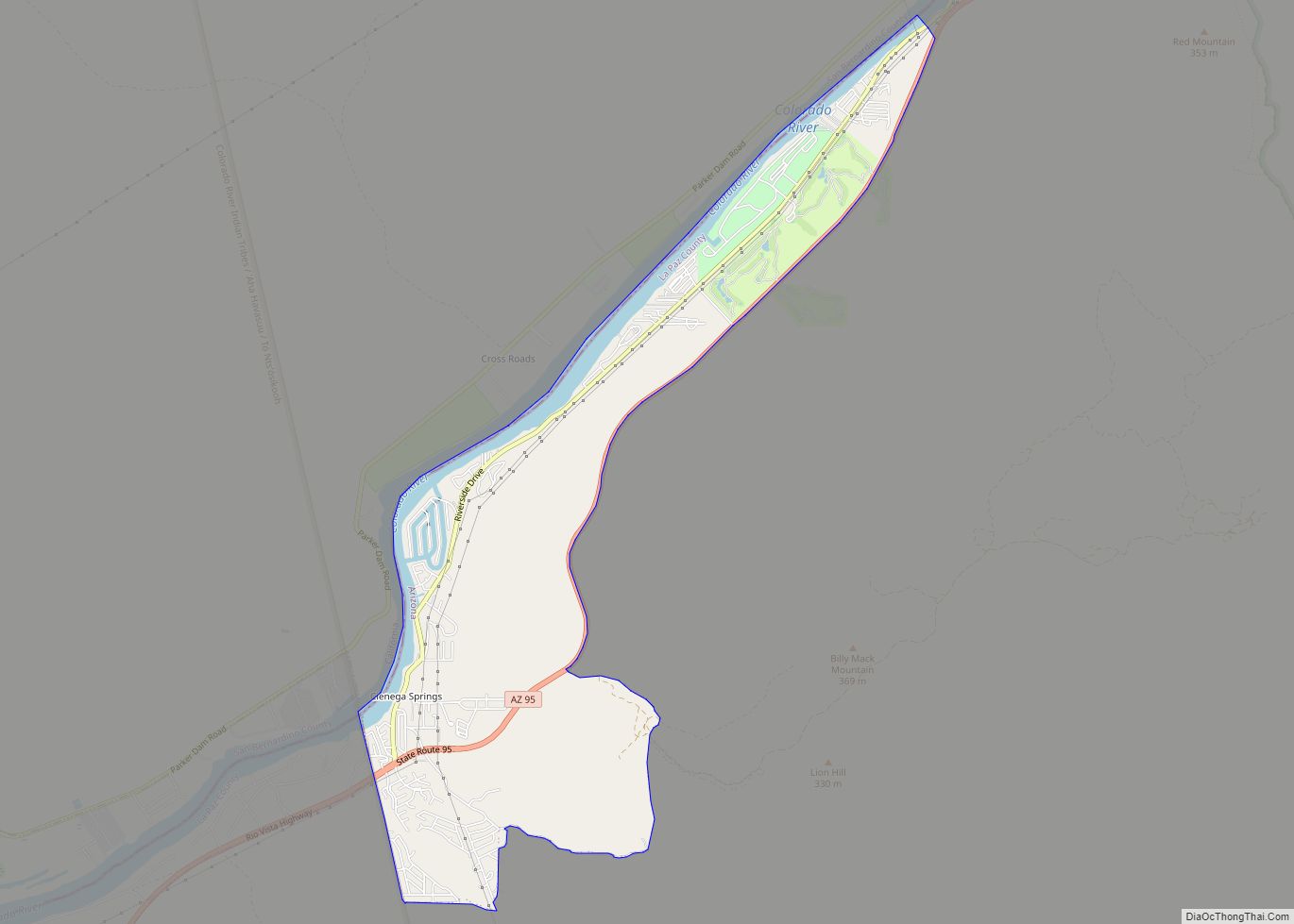
Cienega Springs is a census-designated place in La Paz County, Arizona, United States. Its population was 1,690 as of the 2020 census. Cienega Springs CDP overview: Name: Cienega Springs CDP LSAD Code: 57 LSAD Description: CDP (suffix) State: Arizona County: La Paz County Elevation: 374 ft (114 m) Total Area: 3.85 sq mi (9.98 km²) Land Area: 3.55 sq mi (9.19 km²) Water ... Read more
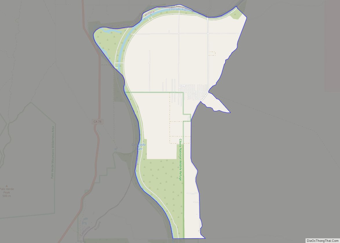
Cibola is a census-designated place (CDP) in La Paz County, Arizona, United States. The population was 250 at the 2010 census, up from 172 in 2000. It is named for the famed city of gold of the same name. Cibola CDP overview: Name: Cibola CDP LSAD Code: 57 LSAD Description: CDP (suffix) State: Arizona County: ... Read more
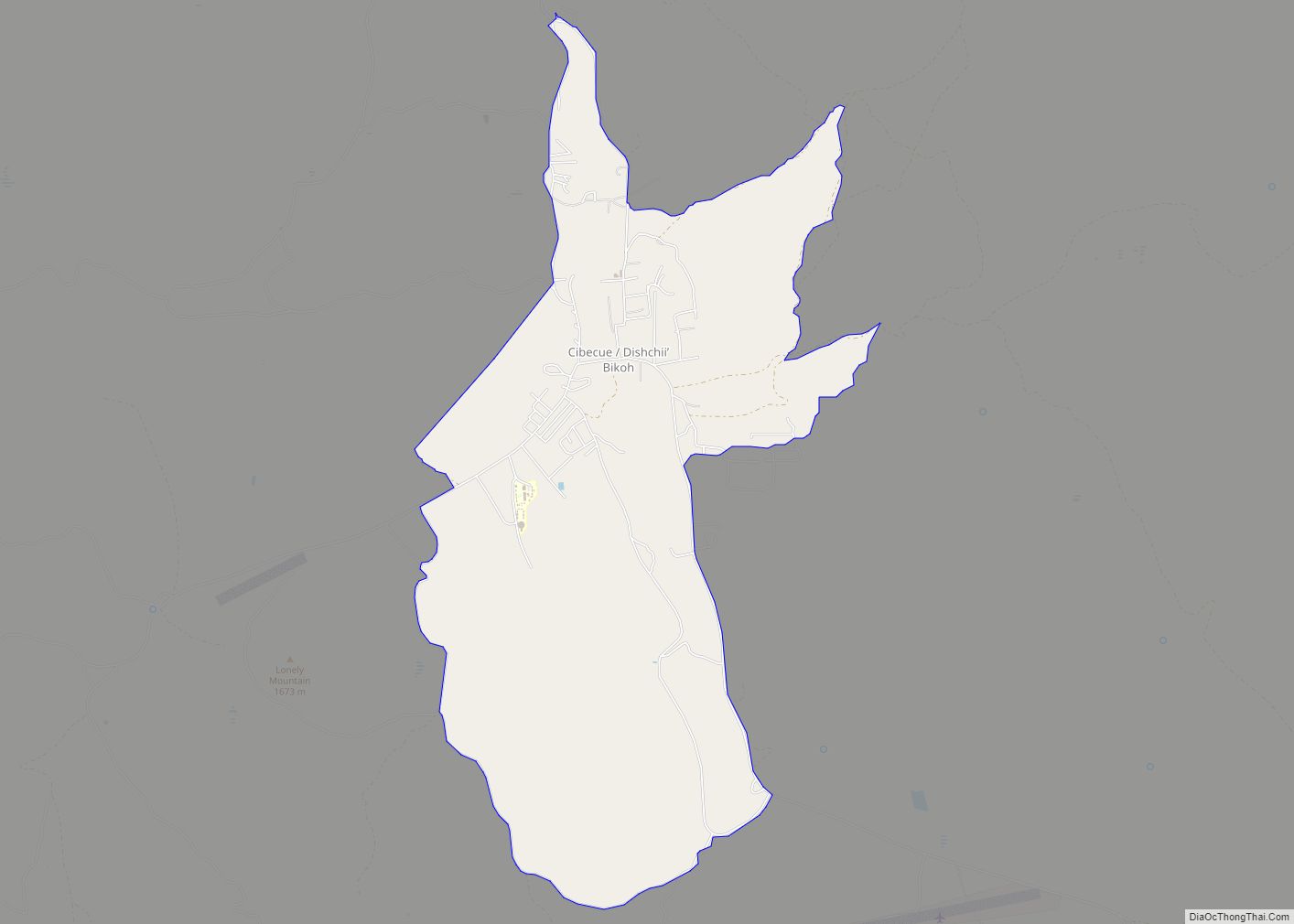
Cibecue (Western Apache: Dishchiiʼ Bikoh “Horizontally Red Valley/Canyon”) is a census-designated place (CDP) in Navajo County, Arizona, United States, on the Fort Apache Indian Reservation. The population was 1,713 in the 2010 United States Census. The current council leaders are Arnold Beach Sr. and Tony Alsenay. The Cibecue community has a high unemployment rate, which ... Read more
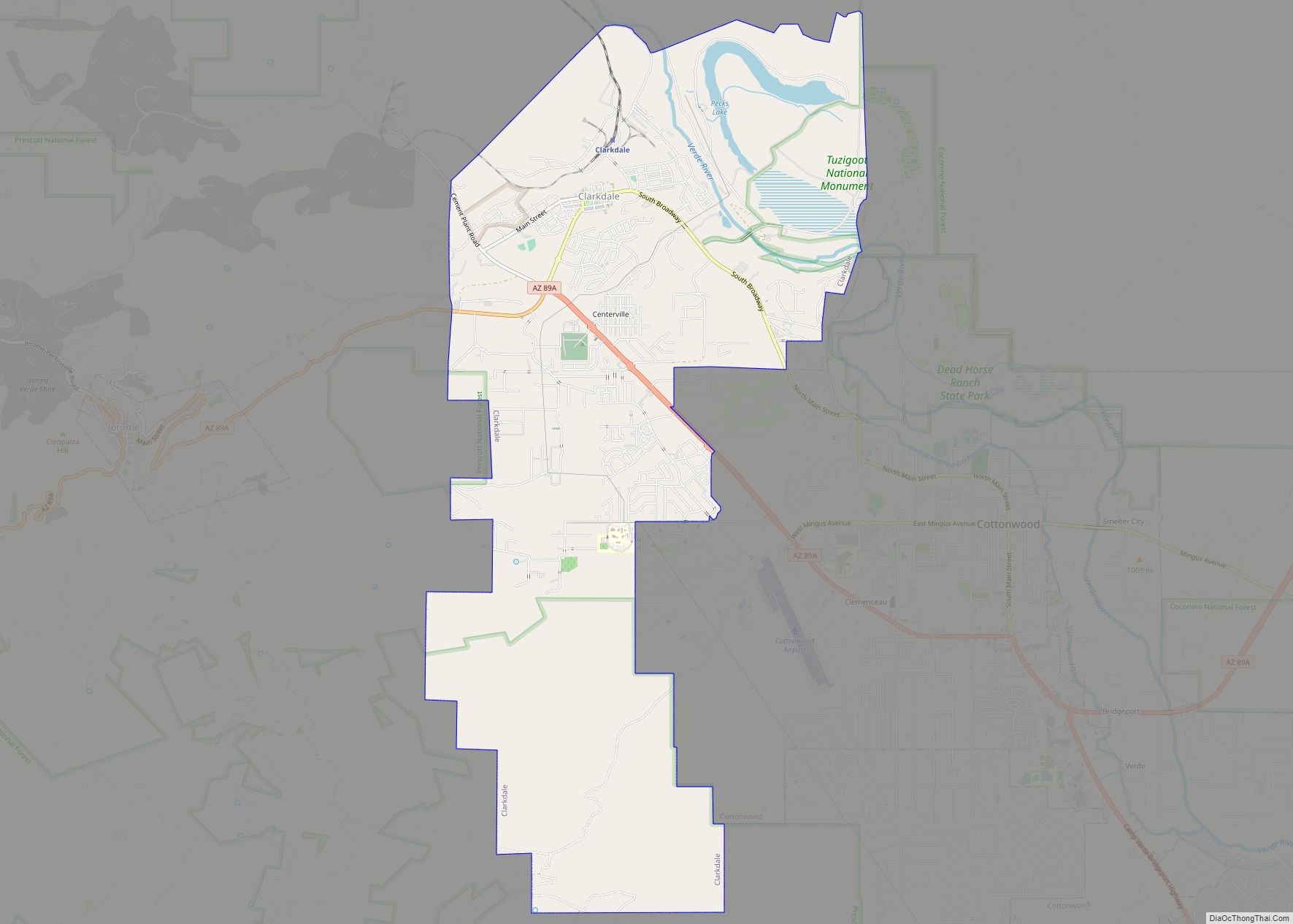
Clarkdale (Yavapai: Saupkasuiva) is a town in Yavapai County, Arizona, United States. The Verde River flows through the town as does Bitter Creek, an intermittent tributary of the river. According to the 2010 census, the population of the town was 4,097. Clarkdale, formerly a mining town, is now largely a retirement community and arts community. ... Read more
Clacks Canyon is a census-designated place (CDP) in Mohave County, Arizona, United States. The population was 167 at the 2020 census. Clacks Canyon CDP overview: Name: Clacks Canyon CDP LSAD Code: 57 LSAD Description: CDP (suffix) State: Arizona County: Mohave County Elevation: 3,740 ft (1,140 m) Total Area: 3.32 sq mi (8.60 km²) Land Area: 3.32 sq mi (8.60 km²) Water Area: 0.00 sq mi ... Read more
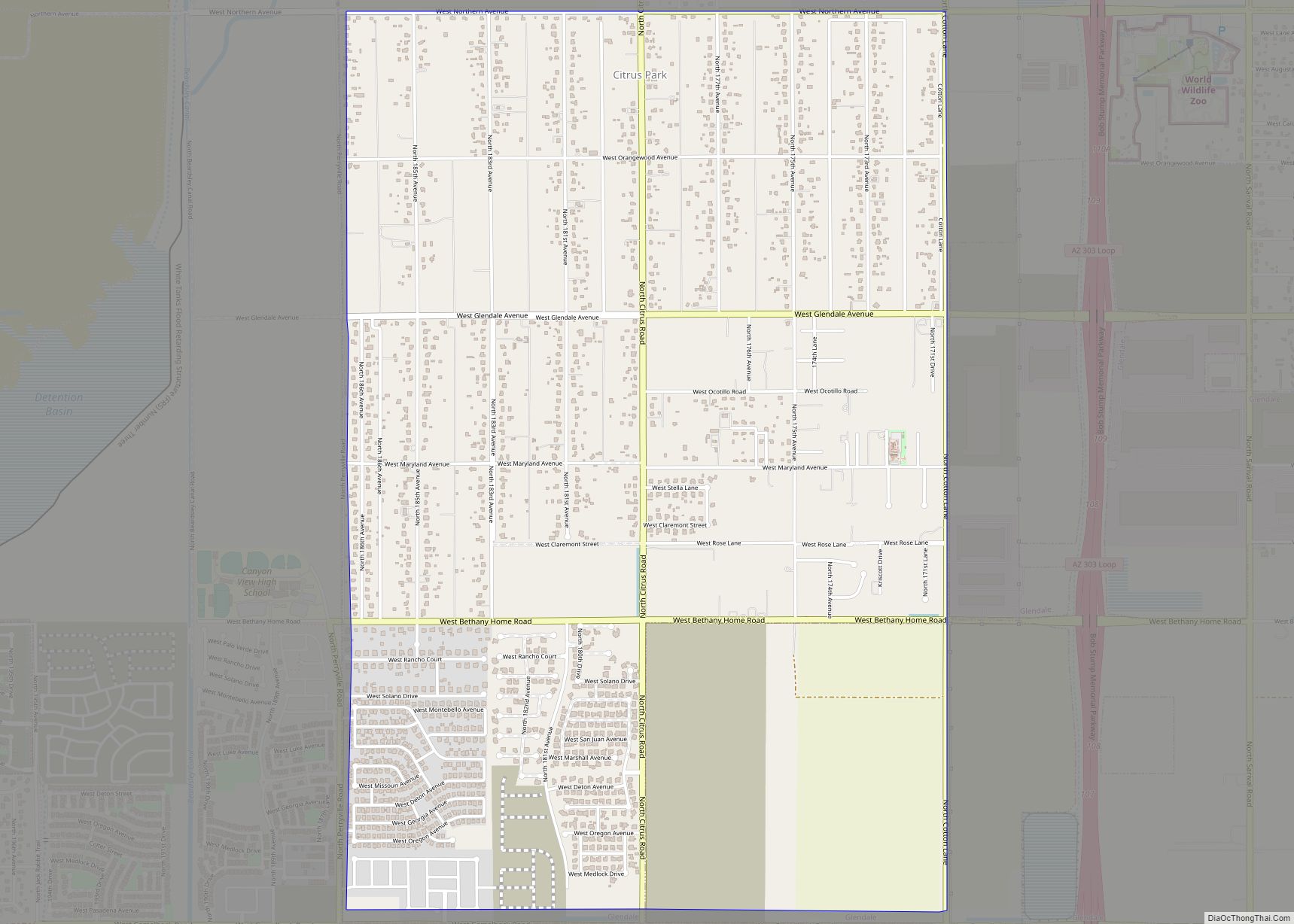
Citrus Park is an unincorporated area and census-designated place (CDP) in Maricopa County, Arizona, United States. The population was 5,194 at the time of the 2020 census, an increase of 28.9% over the population of 4,028 in 2010. Citrus Park CDP overview: Name: Citrus Park CDP LSAD Code: 57 LSAD Description: CDP (suffix) State: Arizona ... Read more
Clifton is a town in and is the county seat of Greenlee County, Arizona, United States, along the San Francisco River. The population of the town was 3,311 at the 2010 census, with a 2018 population estimate of 3,700. It was a place of the Arizona copper mine strike of 1983. Clifton and Morenci are ... Read more
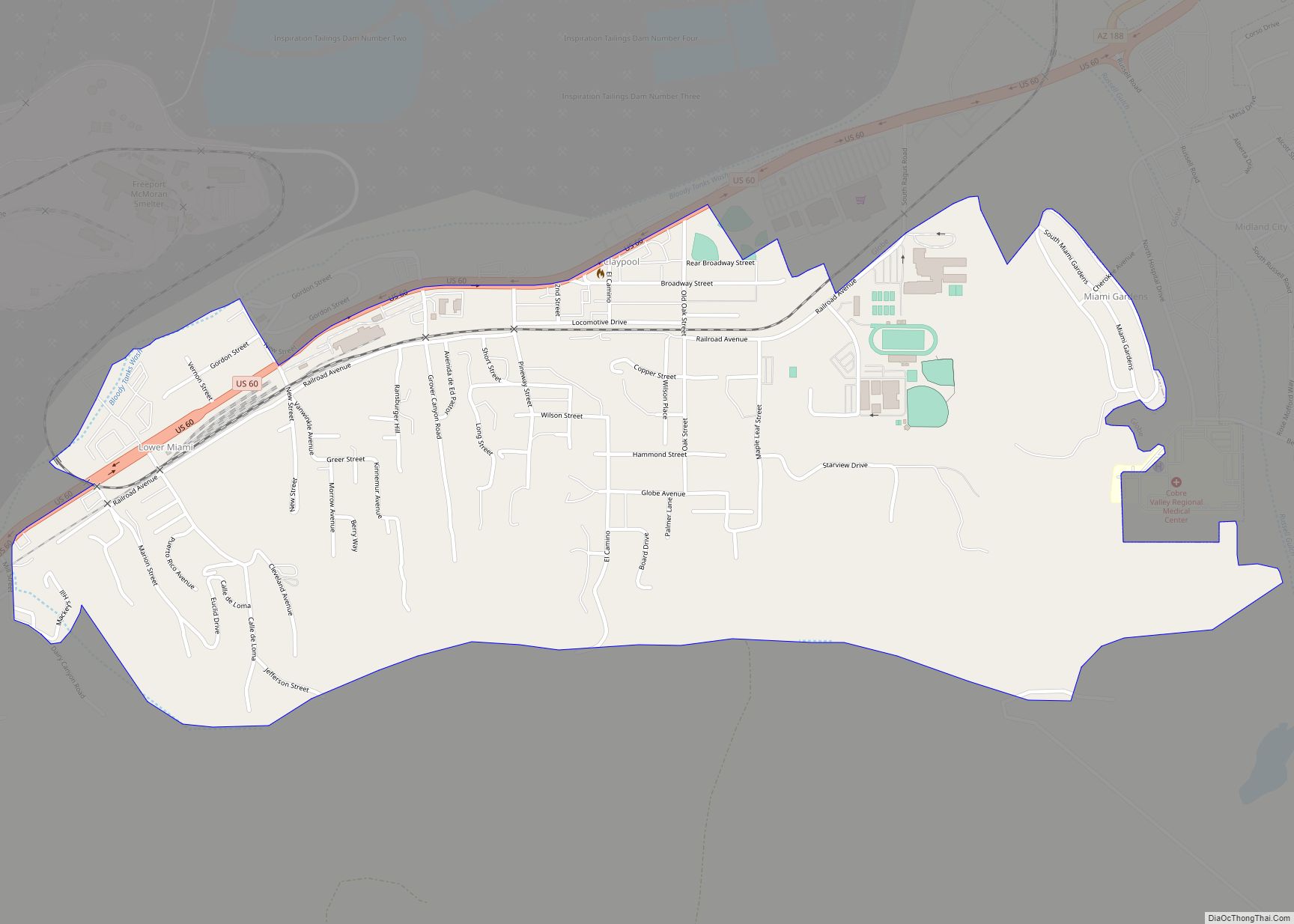
Claypool (Western Apache: Goshtłʼish Tú) is a census-designated place (CDP) in Gila County, Arizona, United States. The population was 1,538 at the 2010 census, down from 1,794 at the 2000 census. It was named after W. D. Claypool, a member of both the State House of Representatives and State Senate in the 1910s and 1920s. ... Read more
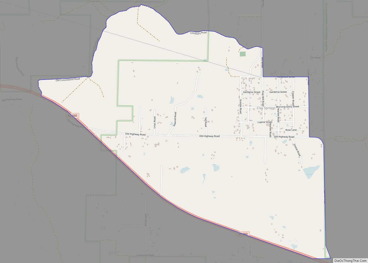
Clay Springs is a census-designated place (CDP) in Navajo County, Arizona, United States. Clay Springs is 16 miles (26 km) northwest of Show Low. Clay Springs has a post office with ZIP code 85923. Clay Springs CDP overview: Name: Clay Springs CDP LSAD Code: 57 LSAD Description: CDP (suffix) State: Arizona County: Navajo County Elevation: 6,303 ft ... Read more
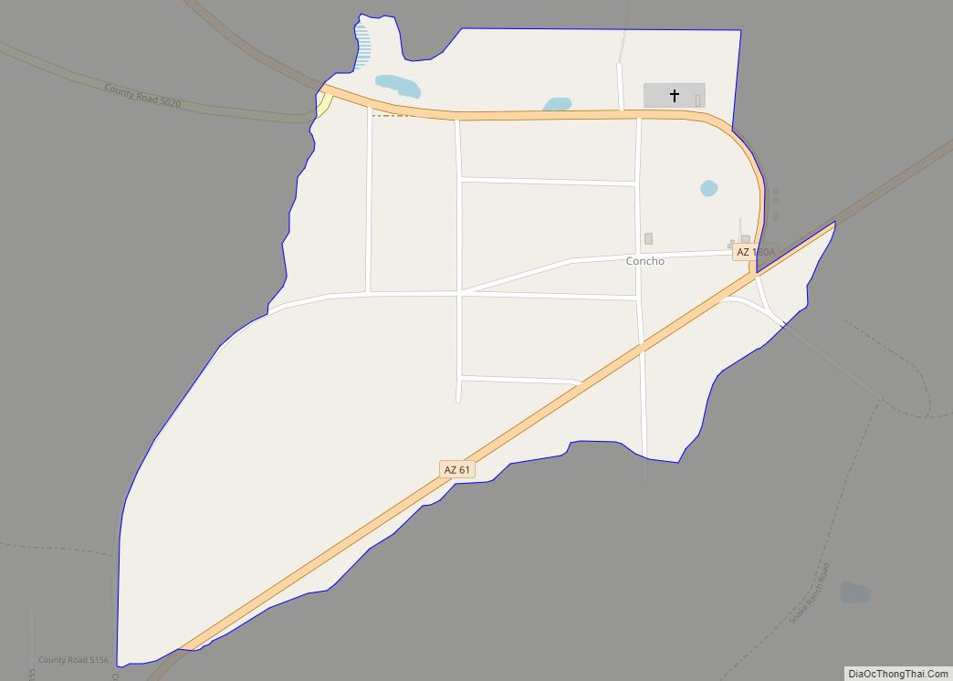
Concho is an unincorporated community and census-designated place (CDP) in Apache County, Arizona, United States. Concho is located on Arizona State Route 61, 14 miles (23 km) west of St. Johns. Concho was the original site for the state capital, due to its prosperous farming. As of the 2010 census, the Concho CDP had a population ... Read more
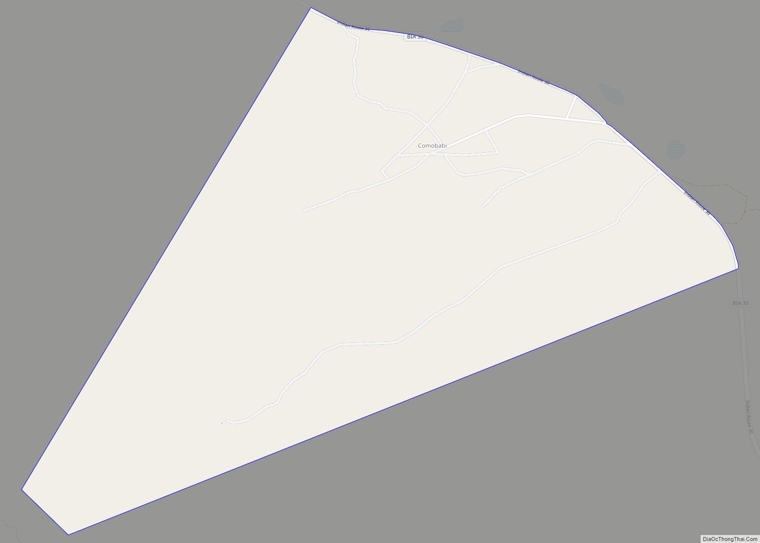
Comobabi is both a census-designated place (CDP) and a populated place in Pima County, Arizona, United States. The population was 8 at the 2010 census. It is located within the Tohono O’odham Indian Reservation. Comobabi CDP overview: Name: Comobabi CDP LSAD Code: 57 LSAD Description: CDP (suffix) State: Arizona County: Pima County Elevation: 3,297 ft (1,005 m) ... Read more
