Clarkdale (Yavapai: Saupkasuiva) is a town in Yavapai County, Arizona, United States. The Verde River flows through the town as does Bitter Creek, an intermittent tributary of the river. According to the 2010 census, the population of the town was 4,097.
Clarkdale, formerly a mining town, is now largely a retirement community and arts community.
| Name: | Clarkdale town |
|---|---|
| LSAD Code: | 43 |
| LSAD Description: | town (suffix) |
| State: | Arizona |
| County: | Yavapai County |
| Elevation: | 3,545 ft (1,081 m) |
| Total Area: | 10.33 sq mi (26.74 km²) |
| Land Area: | 10.18 sq mi (26.36 km²) |
| Water Area: | 0.15 sq mi (0.38 km²) |
| Total Population: | 4,424 |
| Population Density: | 434.66/sq mi (167.83/km²) |
| ZIP code: | 86324 |
| Area code: | 928 |
| FIPS code: | 0413890 |
| GNISfeature ID: | 27687 |
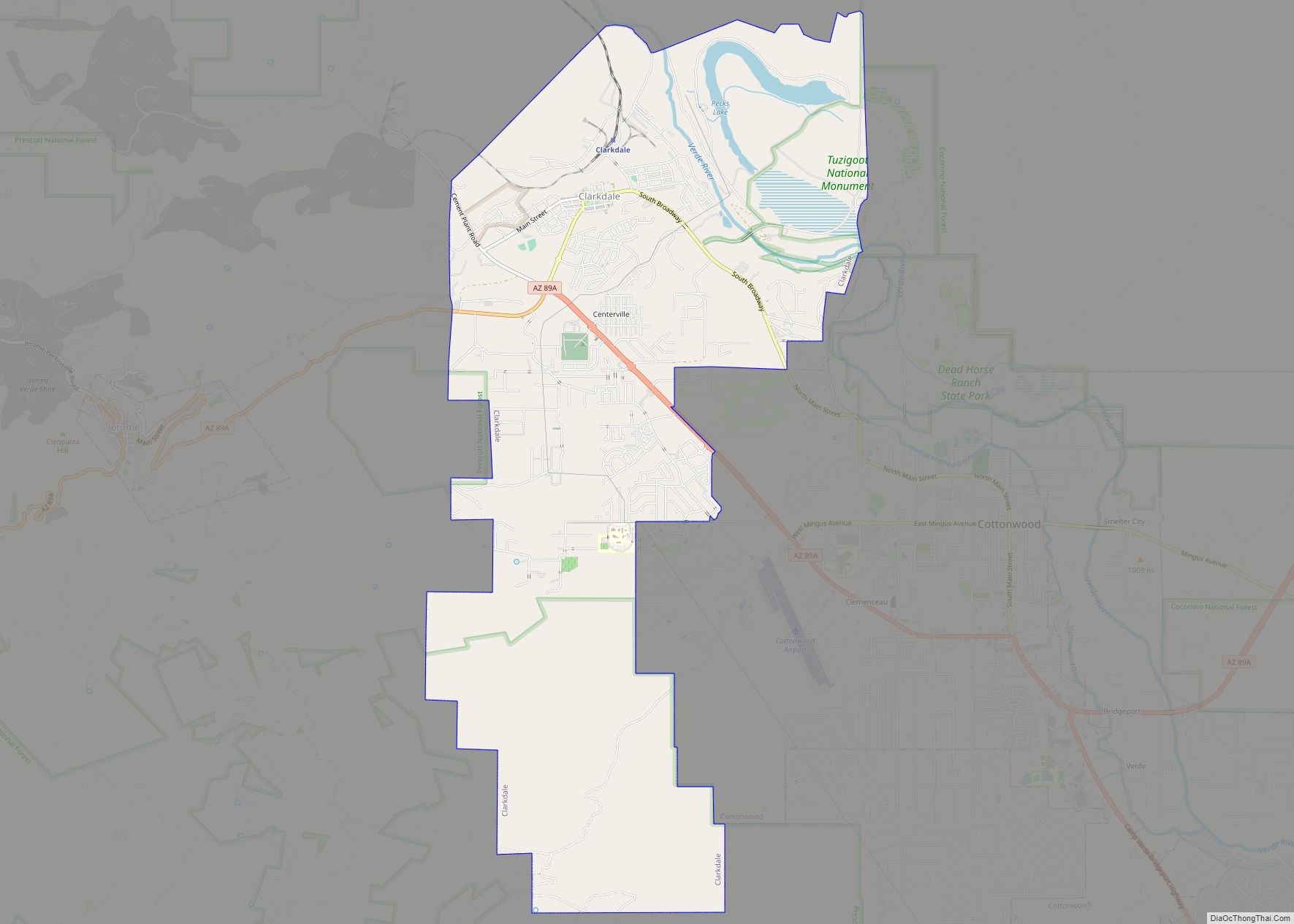
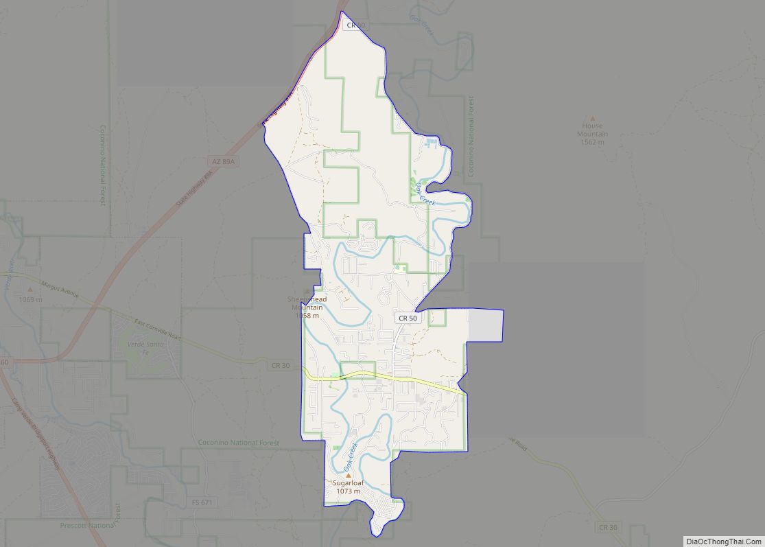
Online Interactive Map
Click on ![]() to view map in "full screen" mode.
to view map in "full screen" mode.
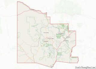
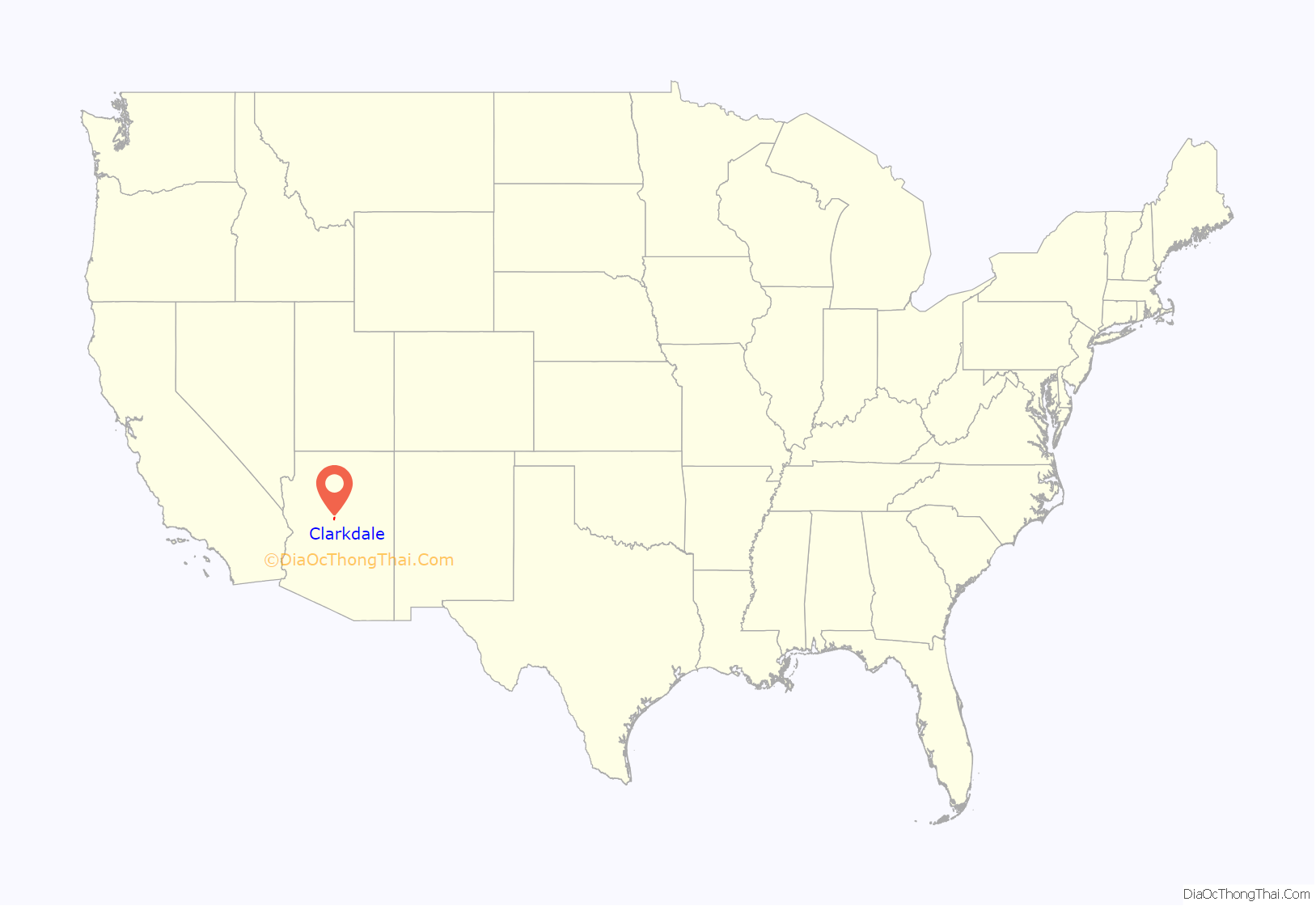
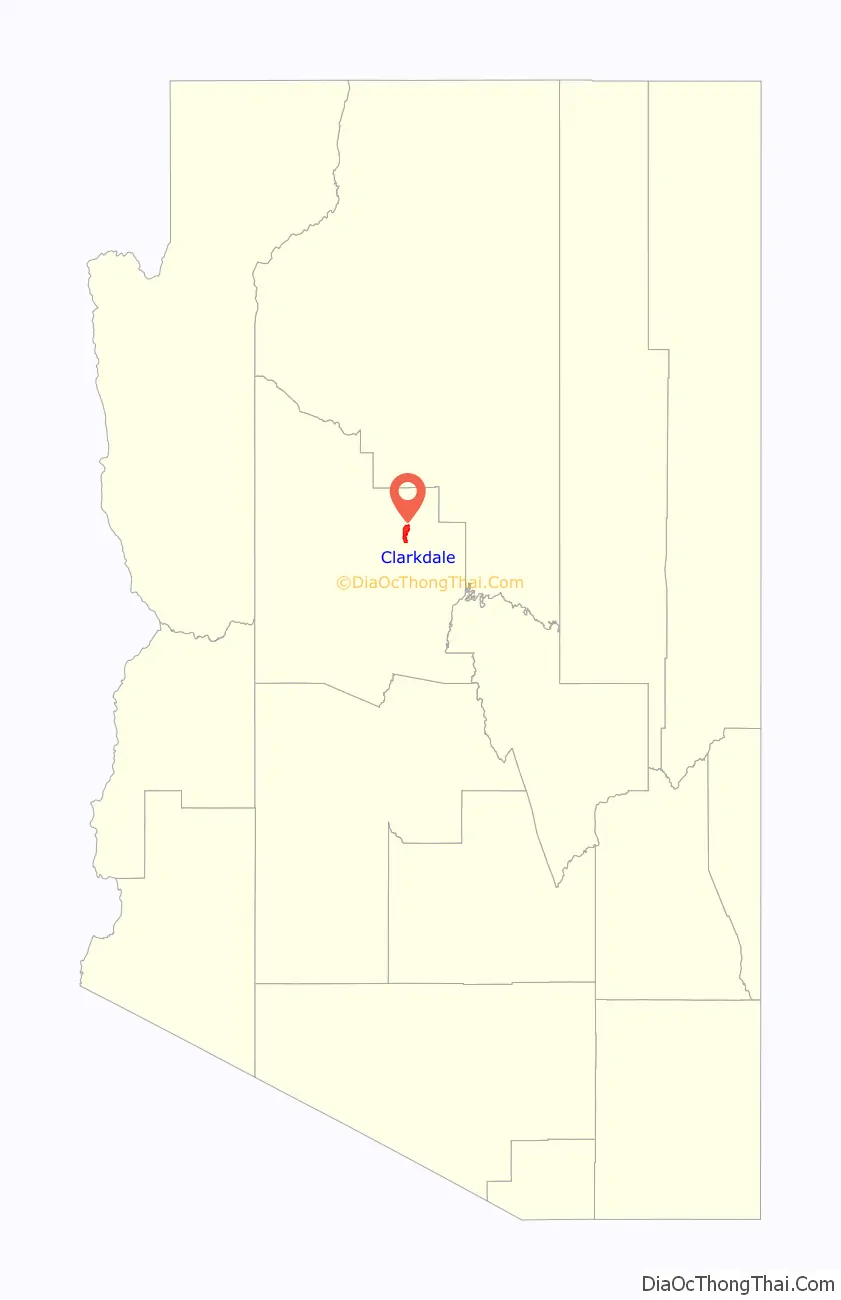
Clarkdale location map. Where is Clarkdale town?
History
Clarkdale was founded in 1912 as a company smelter town by William A. Clark, for his copper mine in nearby Jerome. Clarkdale was one of the most modern mining towns in the world, including telephone, telegraph, electrical, sewer and spring water services, and was an early example of a planned community. The Clark Mansion, a local landmark, was built in the late 1920s by William Clark III, Clark’s grandson and heir to the United Verde Copper Company. The structure, east of town across the Verde River near Pecks Lake, was destroyed in 2010 by a fire of “suspicious” origin.
The town center and business district were built in Spanish Colonial style, and feature the Clark Memorial Clubhouse and Memorial Library, both still in use. The Clubhouse is listed on the National Register of Historic Places. The entire original town site is also on the National Register as the Clarkdale Historic District.
The mine and smelter closed in 1953, and Clarkdale entered hard times. Clarkdale was bought and sold by several different companies. In 1957, Clarkdale was incorporated as a town. The 1959 construction of the Phoenix Cement Company plant restored a modest prosperity to the community.
Clarkdale was a segregated town for much of its early history. Mexican and Mexican-American laborers were restricted to living in Patio Town (see neighborhoods), with a separate swimming pool and park; the town swimming pool was marked “whites only.” Additionally, Upper Clarkdale was designated for engineers and executives, while Lower Clarkdale was for the “working class.”
A portion of the Yavapai-Apache Nation is within Clarkdale’s boundaries.
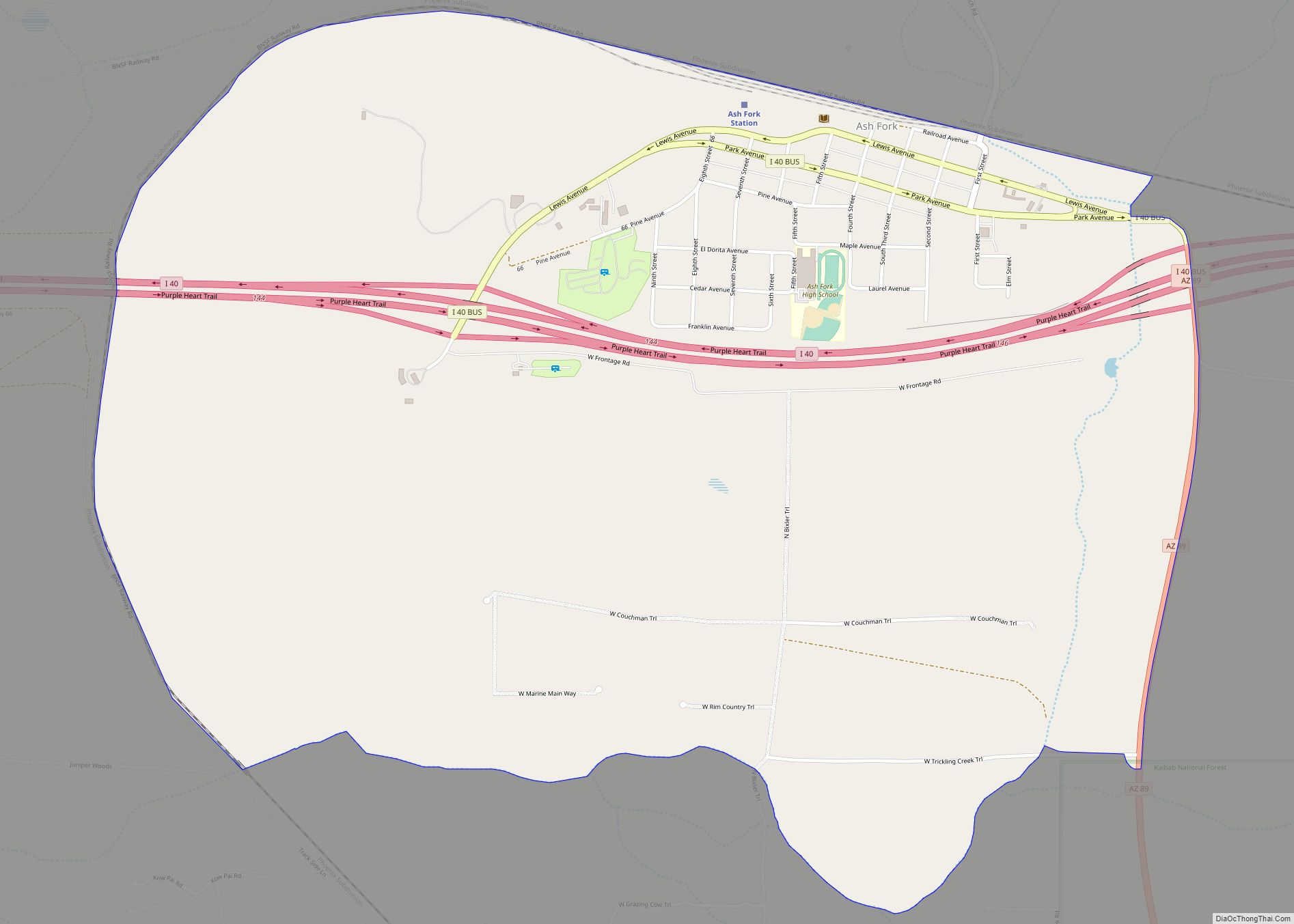
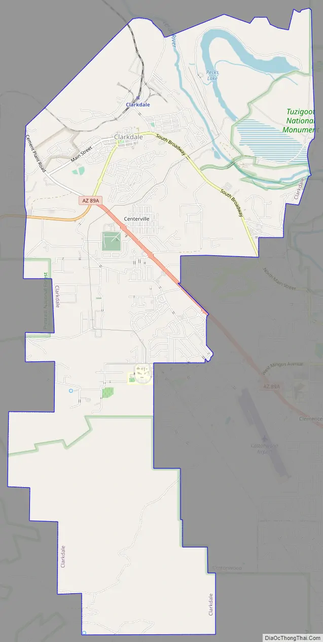
Clarkdale Road Map
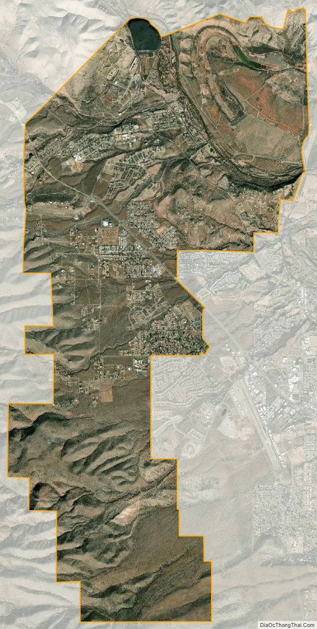
Clarkdale city Satellite Map
Geography
According to the United States Census Bureau, Clarkdale has a total area of 7.5 square miles (19 km), of which 7.3 square miles (19 km) is land and 0.2 square miles (0.5 km) is water.
Clarkdale is at 3,545 feet (1,081 m) above sea level at the confluence of Bitter Creek and the Verde River in Yavapai County, northern Arizona. The town is about 40 miles (64 km) southwest of Flagstaff and about 90 miles (140 km) north of Phoenix. Arizona Route 89A skirts the town on its south edge, while Historic Route 89A passes through Clarkdale. Nearby towns include Jerome, about 4 miles (6.4 km) to the southwest, and Cottonwood, about 4 miles (6.4 km) to the southeast.
Tuzigoot National Monument, a 42-acre (17 ha) Sinagua pueblo ruin, is between Clarkdale and Cottonwood, Arizona, on land donated to the National Park Service by Phelps Dodge in 1938.
Sycamore Canyon Wilderness lies several miles north of town. Sycamore Creek, which flows through the wilderness, enters the Verde River canyon about 6.5 miles (10.5 km) north-northwest of Clarkdale.
The average temperature in Clarkdale in January is 45 °F (7 °C), and in July it is 84 °F (29 °C). The highest recorded temperature for the town was 118 °F (48 °C) in 1994, and the lowest was 8 °F (−13 °C) in 1990. The wettest month is August, averaging about 2 inches (51 mm) of precipitation. In the Köppen Climate Classification system, Clarkdale has a tropical and sub-tropical steppe climate, abbreviated BSk on climate maps.
Little snow falls in Clarkdale. Between 1949 and 1977, Cottonwood, Clarkdale’s close neighbor, received an average of about 4 inches (10 cm) of snow a year. About half of this fell in December. The average snow depth in Cottonwood during the period of record was reported as zero.
See also
Map of Arizona State and its subdivision: Map of other states:- Alabama
- Alaska
- Arizona
- Arkansas
- California
- Colorado
- Connecticut
- Delaware
- District of Columbia
- Florida
- Georgia
- Hawaii
- Idaho
- Illinois
- Indiana
- Iowa
- Kansas
- Kentucky
- Louisiana
- Maine
- Maryland
- Massachusetts
- Michigan
- Minnesota
- Mississippi
- Missouri
- Montana
- Nebraska
- Nevada
- New Hampshire
- New Jersey
- New Mexico
- New York
- North Carolina
- North Dakota
- Ohio
- Oklahoma
- Oregon
- Pennsylvania
- Rhode Island
- South Carolina
- South Dakota
- Tennessee
- Texas
- Utah
- Vermont
- Virginia
- Washington
- West Virginia
- Wisconsin
- Wyoming