Clifton is a town in and is the county seat of Greenlee County, Arizona, United States, along the San Francisco River. The population of the town was 3,311 at the 2010 census, with a 2018 population estimate of 3,700. It was a place of the Arizona copper mine strike of 1983.
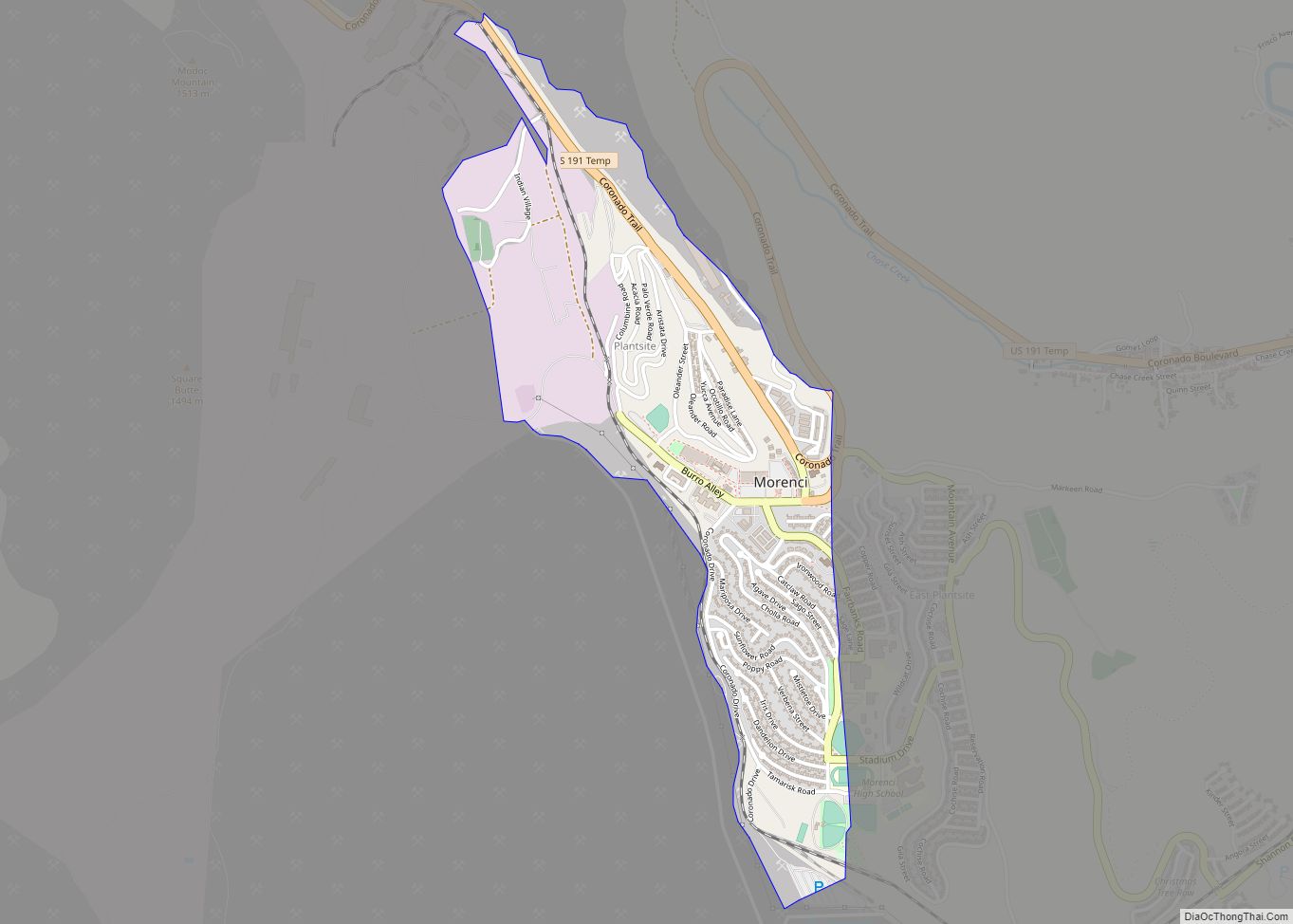
Clifton and Morenci are thought to be an economic area by the Arizona Department of Commerce.
| Name: | Clifton town |
|---|---|
| LSAD Code: | 43 |
| LSAD Description: | town (suffix) |
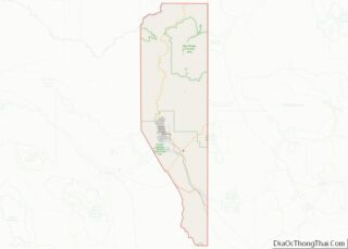
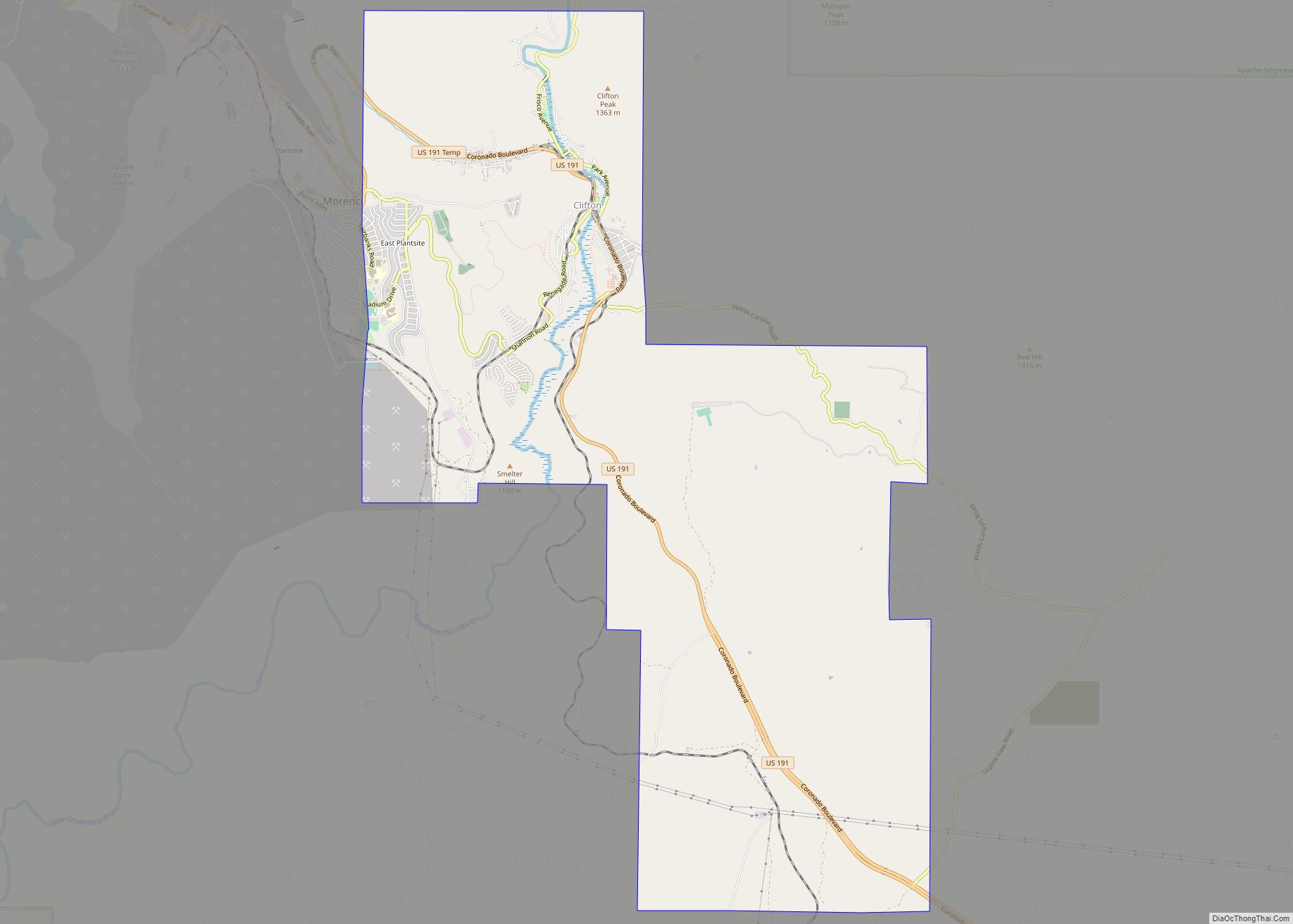
| State: | Arizona |
| County: | Greenlee County |
| Elevation: | 3,478 ft (1,060 m) |
| Total Area: | 14.84 sq mi (38.44 km²) |
| Land Area: | 14.62 sq mi (37.87 km²) |
| Water Area: | 0.22 sq mi (0.57 km²) |
| Total Population: | 3,933 |
| Population Density: | 268.98/sq mi (103.85/km²) |
| ZIP code: | 85533 |
| Area code: | 928 |
| FIPS code: | 0414380 |
| GNISfeature ID: | 27713 |
| Website: | cliftonaz.com |
Online Interactive Map
Click on ![]() to view map in "full screen" mode.
to view map in "full screen" mode.
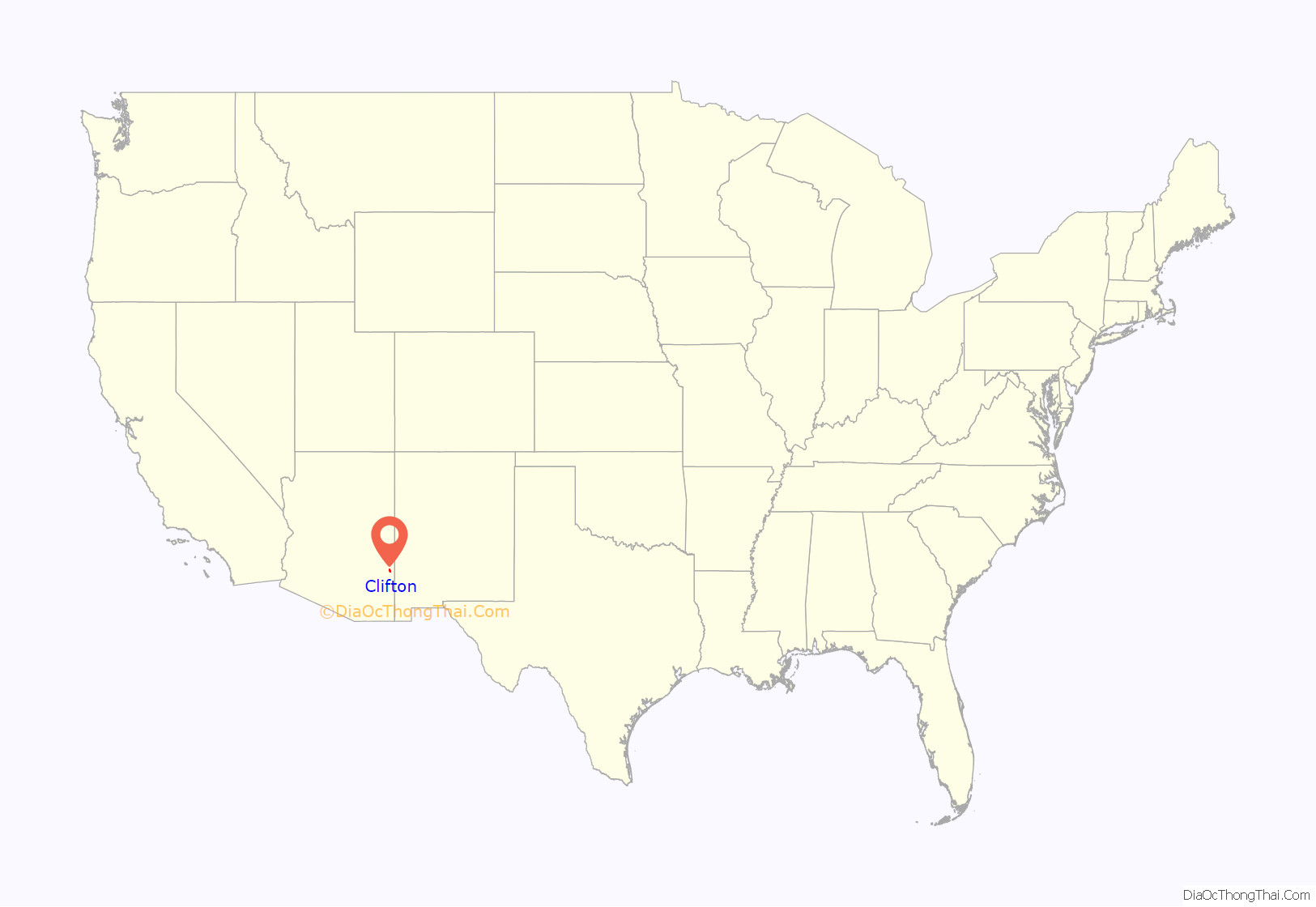
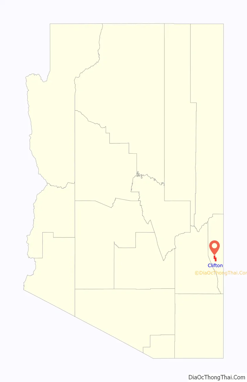
Clifton location map. Where is Clifton town?
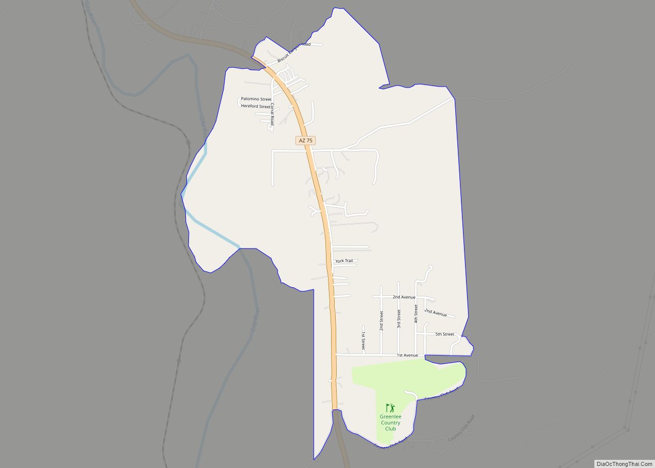
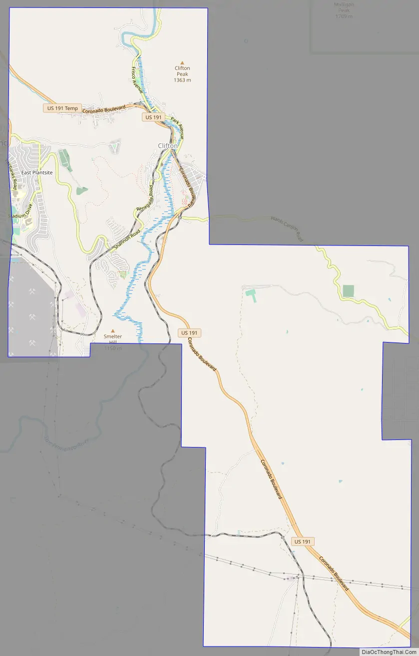
Clifton Road Map
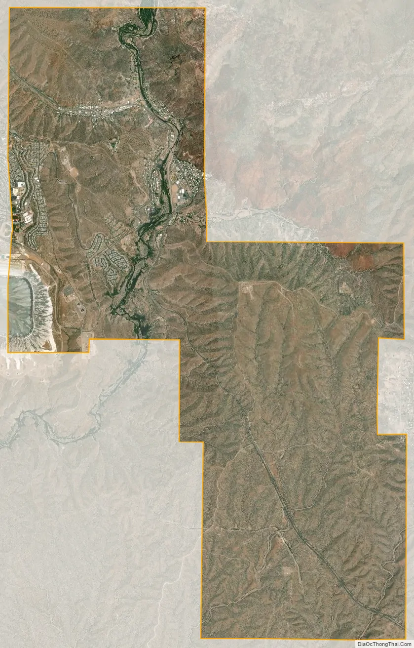
Clifton city Satellite Map
Geography
Clifton is located at 33°03′03″N 109°17′46″W / 33.05083°N 109.29611°W / 33.05083; -109.29611 (33.0508966, -109.2961826).
According to the United States Census Bureau, the town has a total area of 14.8 square miles (38.4 km), of which 14.6 square miles (37.8 km) is land and 0.23 square miles (0.6 km), or 1.46%, is water. Clifton has a hot semi-arid climate (Köppen BSh) that closely borders on both the hot desert climate and the cool semi-arid climate. There is a large degree of diurnal temperature variation. Summers are very hot and sometimes humid, with most rainfall coming from the monsoon between July and October. The wettest year was 2004 with 28.49 inches (723.6 mm) including 6.97 inches (177.0 mm) in August, whilst the driest year with a full record was 1924 with only 4.85 inches (123.2 mm) including a mere 1.98 inches (50.3 mm) between July and October. Winters are mild (though with very cold nights) and dry, with snow only recorded in fourteen years since 1892.
See also
Map of Arizona State and its subdivision: Map of other states:- Alabama
- Alaska
- Arizona
- Arkansas
- California
- Colorado
- Connecticut
- Delaware
- District of Columbia
- Florida
- Georgia
- Hawaii
- Idaho
- Illinois
- Indiana
- Iowa
- Kansas
- Kentucky
- Louisiana
- Maine
- Maryland
- Massachusetts
- Michigan
- Minnesota
- Mississippi
- Missouri
- Montana
- Nebraska
- Nevada
- New Hampshire
- New Jersey
- New Mexico
- New York
- North Carolina
- North Dakota
- Ohio
- Oklahoma
- Oregon
- Pennsylvania
- Rhode Island
- South Carolina
- South Dakota
- Tennessee
- Texas
- Utah
- Vermont
- Virginia
- Washington
- West Virginia
- Wisconsin
- Wyoming