Clay Springs is a census-designated place (CDP) in Navajo County, Arizona, United States. Clay Springs is 16 miles (26 km) northwest of Show Low. Clay Springs has a post office with ZIP code 85923.
| Name: | Clay Springs CDP |
|---|---|
| LSAD Code: | 57 |
| LSAD Description: | CDP (suffix) |
| State: | Arizona |
| County: | Navajo County |
| Elevation: | 6,303 ft (1,921 m) |
| Total Area: | 2.85 sq mi (7.37 km²) |
| Land Area: | 2.85 sq mi (7.37 km²) |
| Water Area: | 0.00 sq mi (0.00 km²) |
| Total Population: | 331 |
| Population Density: | 116.30/sq mi (44.90/km²) |
| ZIP code: | 85923 |
| Area code: | 928 |
| FIPS code: | 0414030 |
Online Interactive Map
Click on ![]() to view map in "full screen" mode.
to view map in "full screen" mode.
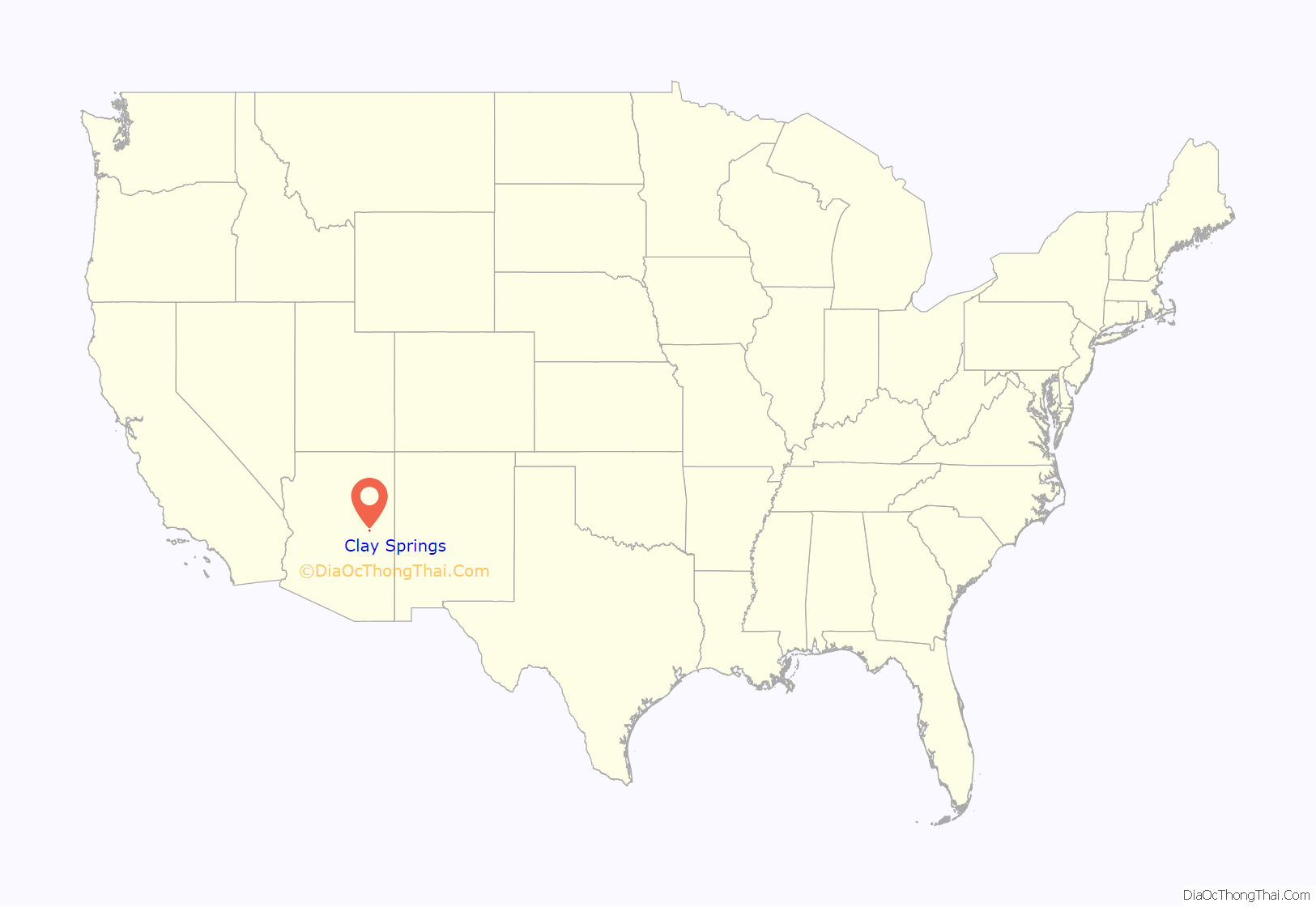
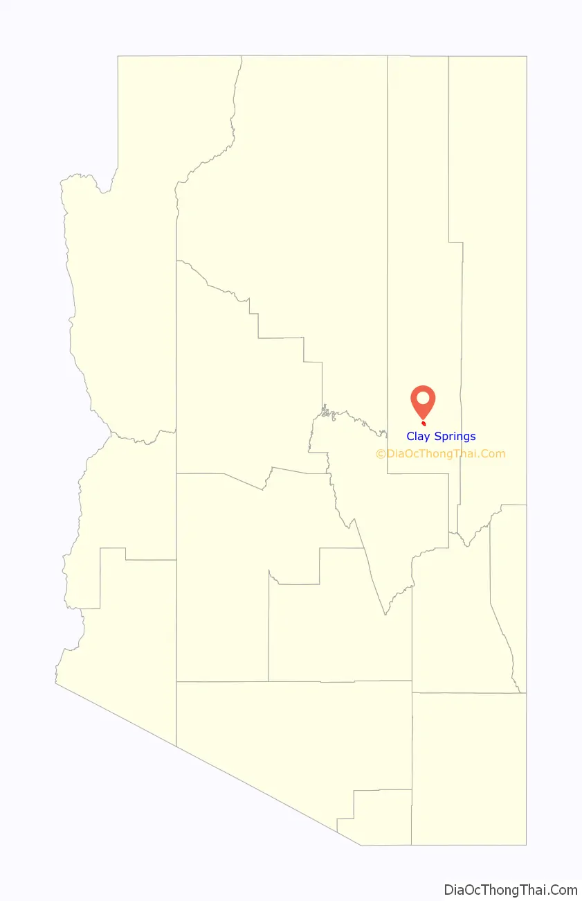
Clay Springs location map. Where is Clay Springs CDP?
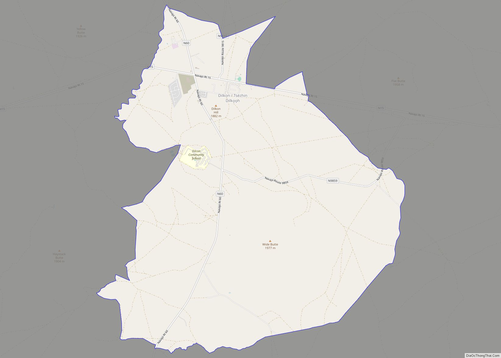
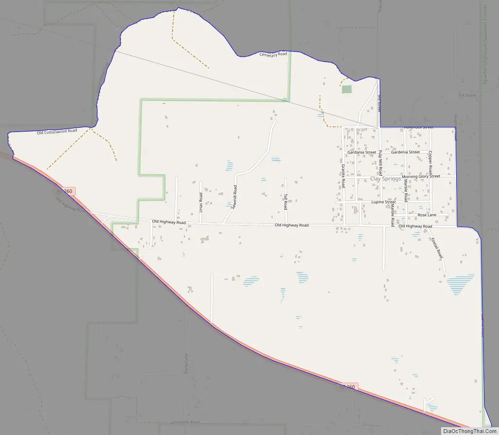
Clay Springs Road Map
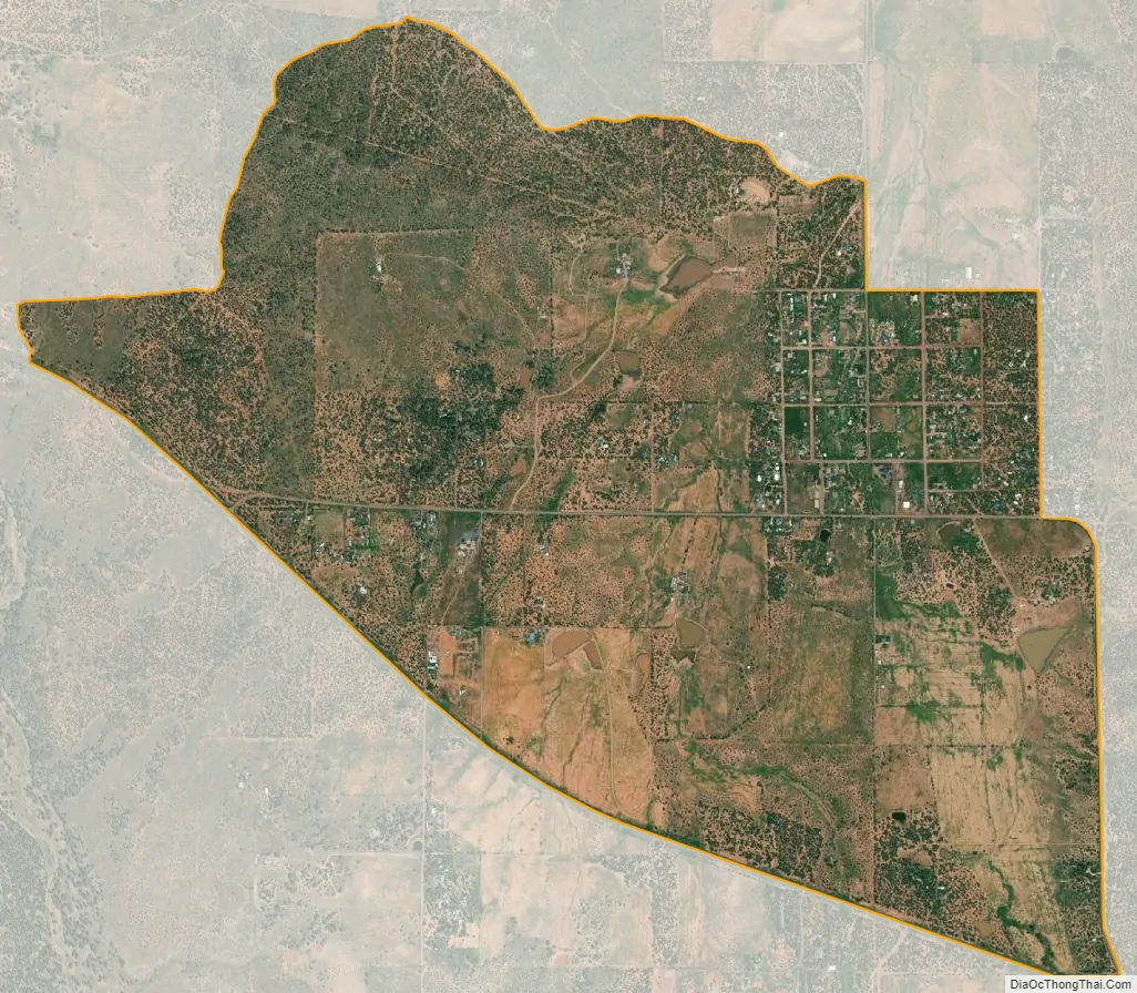
Clay Springs city Satellite Map
See also
Map of Arizona State and its subdivision: Map of other states:- Alabama
- Alaska
- Arizona
- Arkansas
- California
- Colorado
- Connecticut
- Delaware
- District of Columbia
- Florida
- Georgia
- Hawaii
- Idaho
- Illinois
- Indiana
- Iowa
- Kansas
- Kentucky
- Louisiana
- Maine
- Maryland
- Massachusetts
- Michigan
- Minnesota
- Mississippi
- Missouri
- Montana
- Nebraska
- Nevada
- New Hampshire
- New Jersey
- New Mexico
- New York
- North Carolina
- North Dakota
- Ohio
- Oklahoma
- Oregon
- Pennsylvania
- Rhode Island
- South Carolina
- South Dakota
- Tennessee
- Texas
- Utah
- Vermont
- Virginia
- Washington
- West Virginia
- Wisconsin
- Wyoming