Chloride is a onetime silver mining camp in Mohave County, Arizona, United States, and is considered the oldest continuously inhabited mining town in the state. The town is a census-designated place (CDP), with a population at the 2020 census of 229. Chloride has a ZIP Code of 86431.
The town is located on the southwest flank of the Cerbat Mountains, 23 miles (37 km) northwest of Kingman, the Mohave county seat. Grasshopper Junction is 4 miles (6 km) to the west on U.S. Route 93.
| Name: | Chloride CDP |
|---|---|
| LSAD Code: | 57 |
| LSAD Description: | CDP (suffix) |
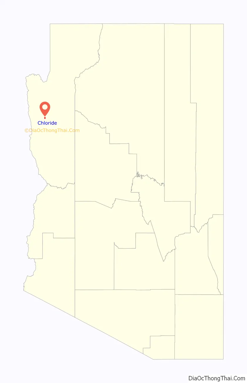
| State: | Arizona |
| County: | Mohave County |
| Founded: | 1863 |
| Elevation: | 4,022 ft (1,226 m) |
| Total Area: | 1.51 sq mi (3.90 km²) |
| Land Area: | 1.51 sq mi (3.90 km²) |
| Water Area: | 0.00 sq mi (0.00 km²) |
| Total Population: | 229 |
| Population Density: | 151.96/sq mi (58.67/km²) |
| ZIP code: | 86431 |
| FIPS code: | 0412910 |
Online Interactive Map
Click on ![]() to view map in "full screen" mode.
to view map in "full screen" mode.
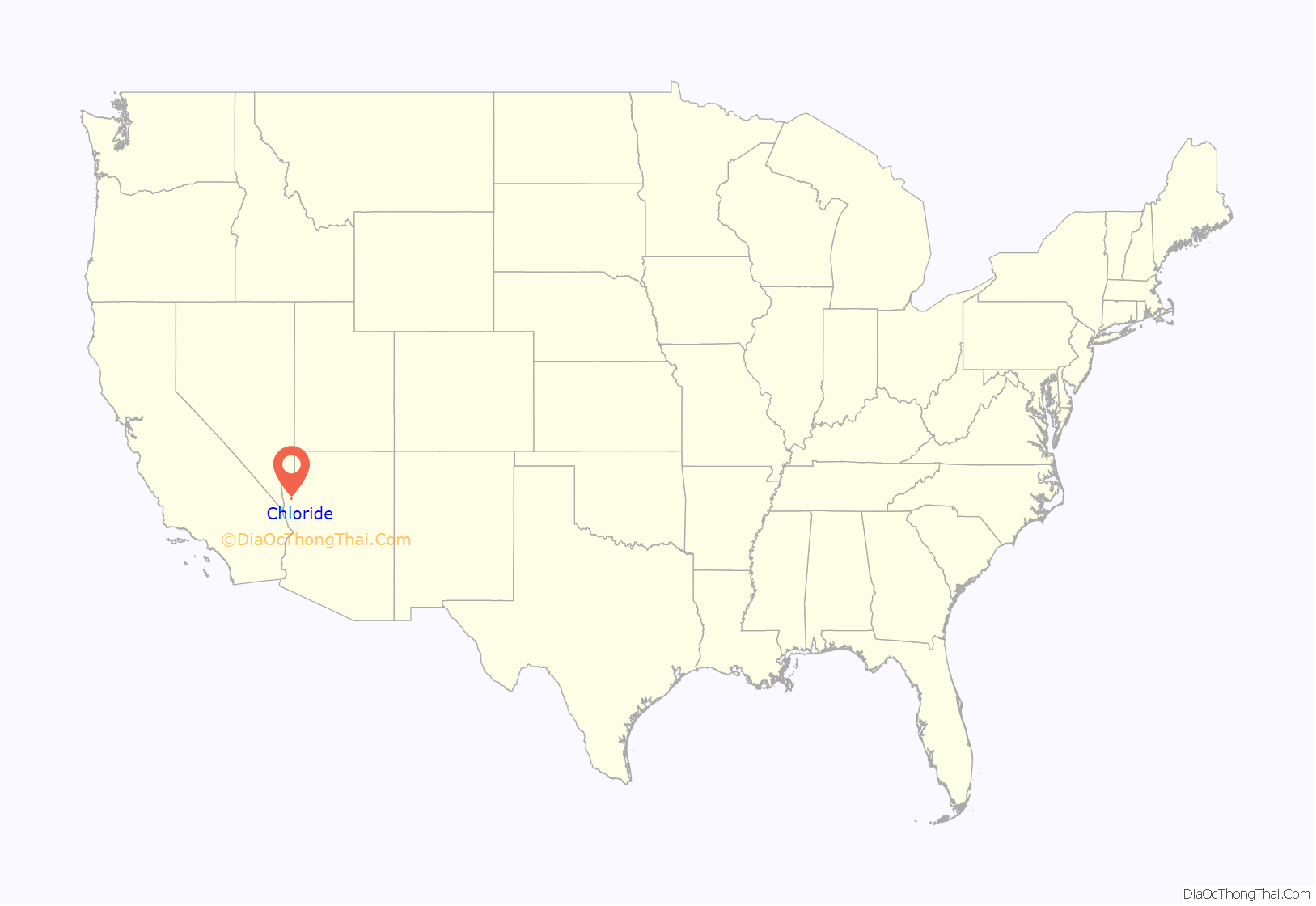
Chloride location map. Where is Chloride CDP?
History
Arizona Central Bank building
Rail route in 1930
Prospectors first located mineral resources in the area in the 1840s, including silver, gold, lead, zinc, and turquoise. Chloride was founded about 1863, but mining was not widespread until the 1870s, after a treaty was signed with the Hualapai Indians. The Arizona and Utah Railway, running to the site from Kingman, was inaugurated on August 16, 1899 – the last silver spike was driven by Miss May Krider. The town eventually grew to a peak of around 5,000 inhabitants, and at one time Chloride was the county seat. By 1917 the population had fallen to 2,000, and by 1944 it was nearly a ghost town. A small grave-yard remains just west of town.
American author Louis L’Amour visited Chloride sometime between 1927 and 1929 after the Weepah, Nevada, goldrush, where he had bought, and then sold, a claim for $50. During his visit the town of Chloride caught fire. L’Amour assisted the town citizens in a bucket brigade that ultimately failed to stop most of the town from burning to the ground.
Chloride’s population was 135 in the 1960 census.
Chloride Road Map
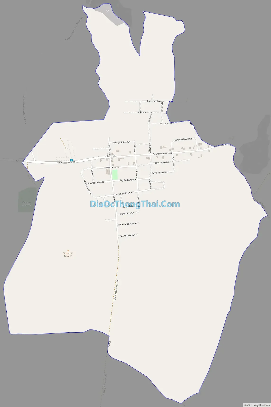
Chloride city Satellite Map

See also
Map of Arizona State and its subdivision: Map of other states:- Alabama
- Alaska
- Arizona
- Arkansas
- California
- Colorado
- Connecticut
- Delaware
- District of Columbia
- Florida
- Georgia
- Hawaii
- Idaho
- Illinois
- Indiana
- Iowa
- Kansas
- Kentucky
- Louisiana
- Maine
- Maryland
- Massachusetts
- Michigan
- Minnesota
- Mississippi
- Missouri
- Montana
- Nebraska
- Nevada
- New Hampshire
- New Jersey
- New Mexico
- New York
- North Carolina
- North Dakota
- Ohio
- Oklahoma
- Oregon
- Pennsylvania
- Rhode Island
- South Carolina
- South Dakota
- Tennessee
- Texas
- Utah
- Vermont
- Virginia
- Washington
- West Virginia
- Wisconsin
- Wyoming


