Concord is a town in Cleburne County, Arkansas, United States. The population was 244 at the 2010 census. Concord town overview: Name: Concord town LSAD Code: 43 LSAD Description: town (suffix) State: Arkansas County: Cleburne County Elevation: 1,043 ft (318 m) Total Area: 3.08 sq mi (7.99 km²) Land Area: 3.08 sq mi (7.98 km²) Water Area: 0.00 sq mi (0.01 km²) Total Population: 190 Population ... Read more
Arkansas Cities and Places
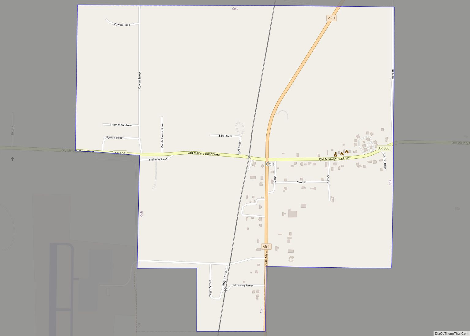
Colt is a town and an unincorporated area in St. Francis County, Arkansas, United States. The population was 378 at the 2010 census, an increase from 368 in 2000. Colt city overview: Name: Colt city LSAD Code: 25 LSAD Description: city (suffix) State: Arkansas County: St. Francis County Elevation: 253 ft (77 m) Total Area: 1.26 sq mi (3.26 km²) ... Read more
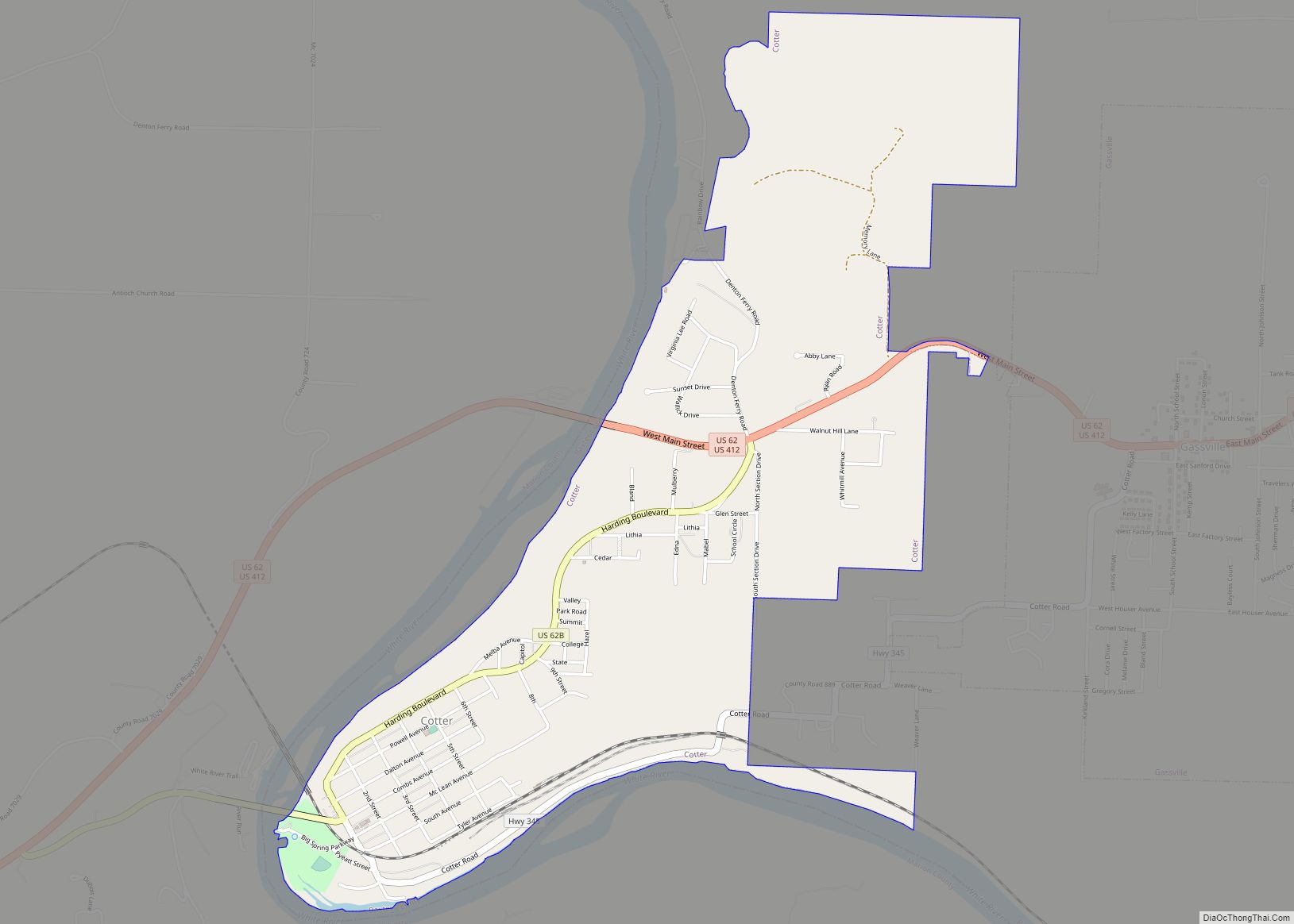
Cotter is a city in Baxter County, Arkansas, United States. The population was 886 at the 2020 census. Cotter city overview: Name: Cotter city LSAD Code: 25 LSAD Description: city (suffix) State: Arkansas County: Baxter County Incorporated: November 23, 1905 Elevation: 640 ft (200 m) Total Area: 2.45 sq mi (6.34 km²) Land Area: 2.45 sq mi (6.34 km²) Water Area: 0.00 sq mi (0.00 km²) ... Read more
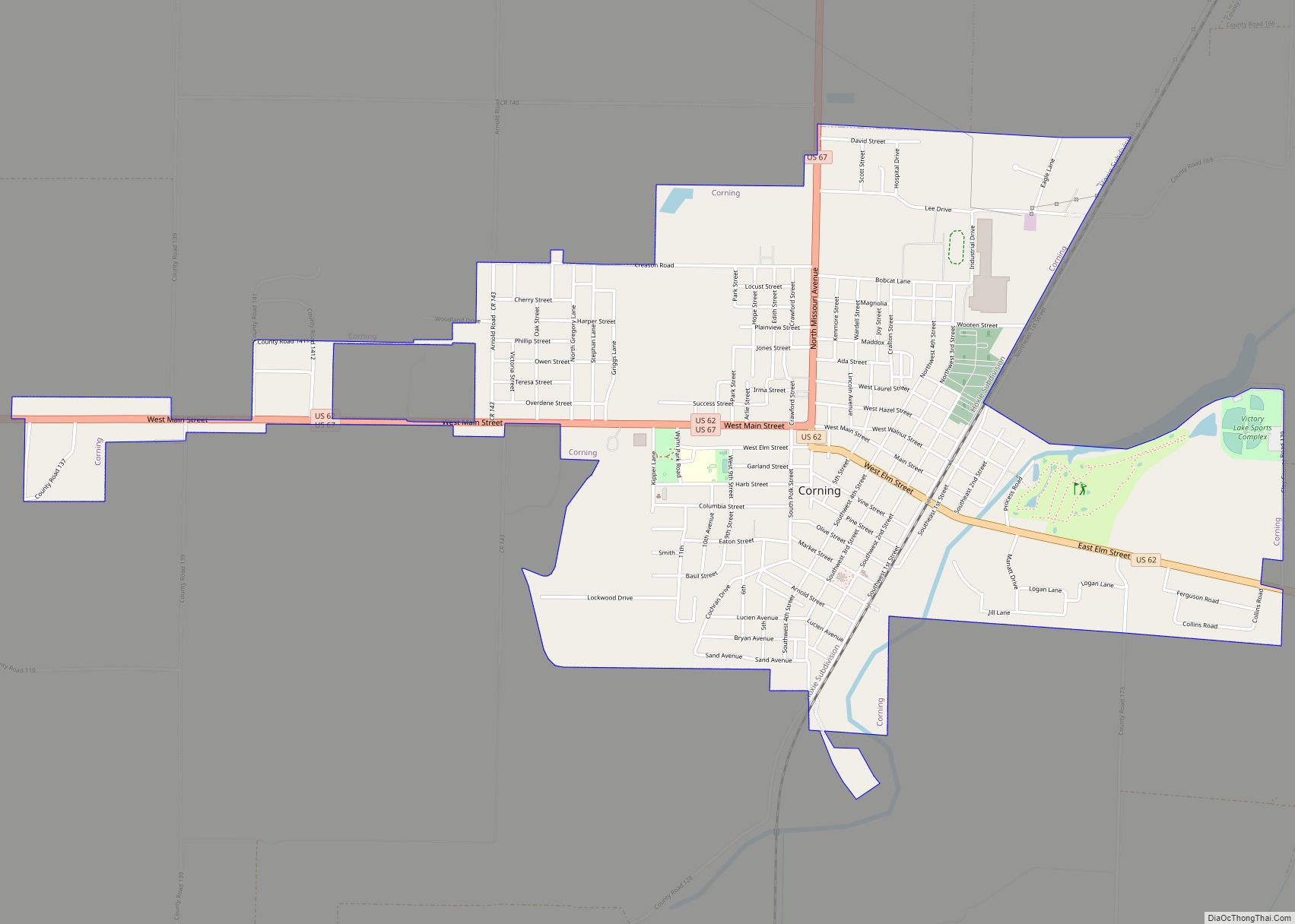
Corning is a city in Clay County, Arkansas, United States. The population was 3,377 at the 2010 census. It is one of the two county seats of Clay County, along with Piggott. Corning city overview: Name: Corning city LSAD Code: 25 LSAD Description: city (suffix) State: Arkansas County: Clay County Elevation: 292 ft (89 m) Total Area: ... Read more
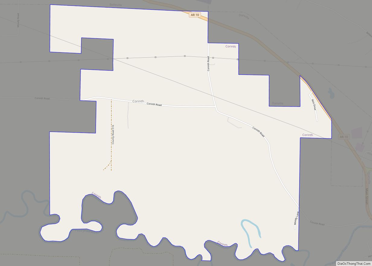
Corinth is a town in Yell County, Arkansas, United States. The population was 65 at the 2000 census. It is part of the Russellville Micropolitan Statistical Area. Corinth town overview: Name: Corinth town LSAD Code: 43 LSAD Description: town (suffix) State: Arkansas County: Yell County Elevation: 351 ft (107 m) Total Area: 3.15 sq mi (8.16 km²) Land Area: 3.09 sq mi ... Read more
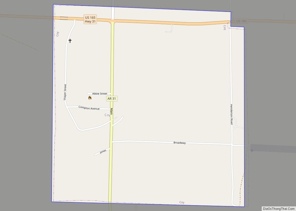
Coy is a town in southern Lonoke County, Arkansas, United States. The population was 96 at the 2010 census, making it the smallest incorporated community within the Little Rock–North Little Rock–Conway Metropolitan Statistical Area, as well as one of the smallest in the state. Coy town overview: Name: Coy town LSAD Code: 43 LSAD Description: ... Read more
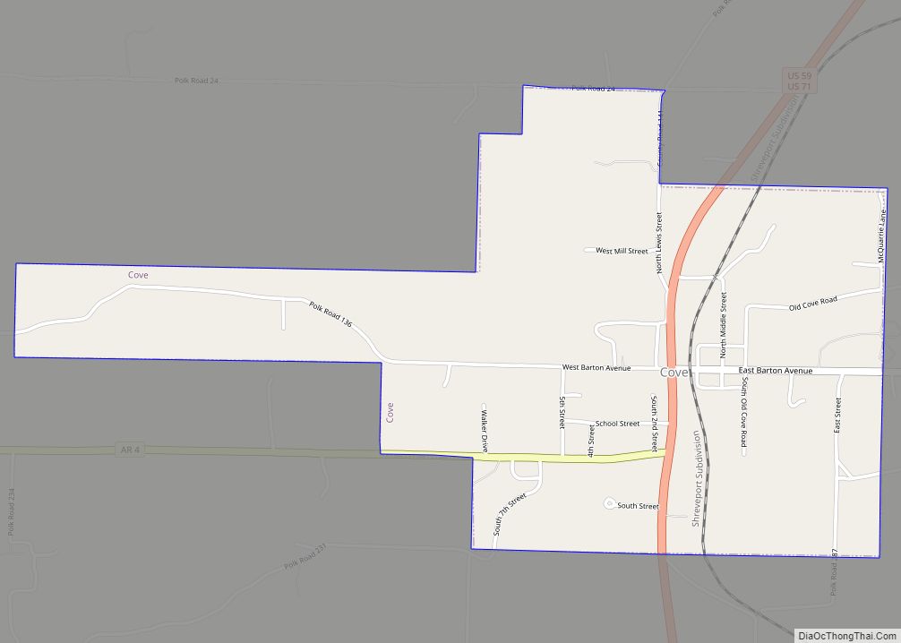
Cove is a town in Polk County, Arkansas, United States. The population was 382 at the 2010 census. Cove town overview: Name: Cove town LSAD Code: 43 LSAD Description: town (suffix) State: Arkansas County: Polk County Elevation: 1,102 ft (336 m) Total Area: 1.62 sq mi (4.20 km²) Land Area: 1.60 sq mi (4.14 km²) Water Area: 0.02 sq mi (0.06 km²) Total Population: 319 Population ... Read more
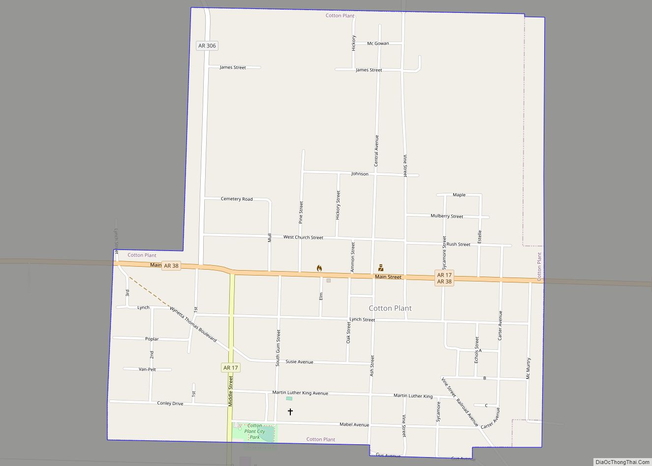
Cotton Plant is a city in southern Woodruff County, Arkansas, United States. As of the 2020 census, the city had a total population of 529. Cotton Plant city overview: Name: Cotton Plant city LSAD Code: 25 LSAD Description: city (suffix) State: Arkansas County: Woodruff County Incorporated: November 14, 1887 Elevation: 194 ft (59 m) Total Area: 1.04 sq mi ... Read more
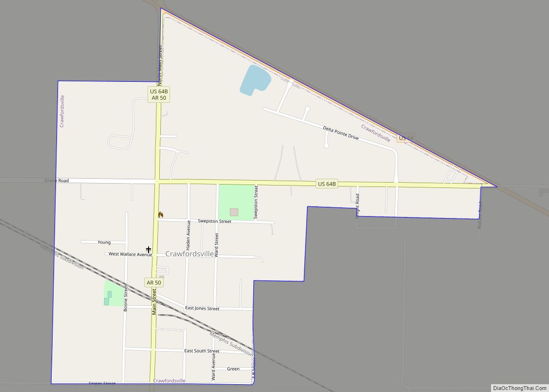
Crawfordsville, historically Crawfordville, is a town in Crittenden County, Arkansas, United States. The population was 479 at the 2010 census. Crawfordsville town overview: Name: Crawfordsville town LSAD Code: 43 LSAD Description: town (suffix) State: Arkansas County: Crittenden County Elevation: 220 ft (67 m) Total Area: 0.56 sq mi (1.45 km²) Land Area: 0.56 sq mi (1.45 km²) Water Area: 0.00 sq mi (0.00 km²) Total Population: ... Read more
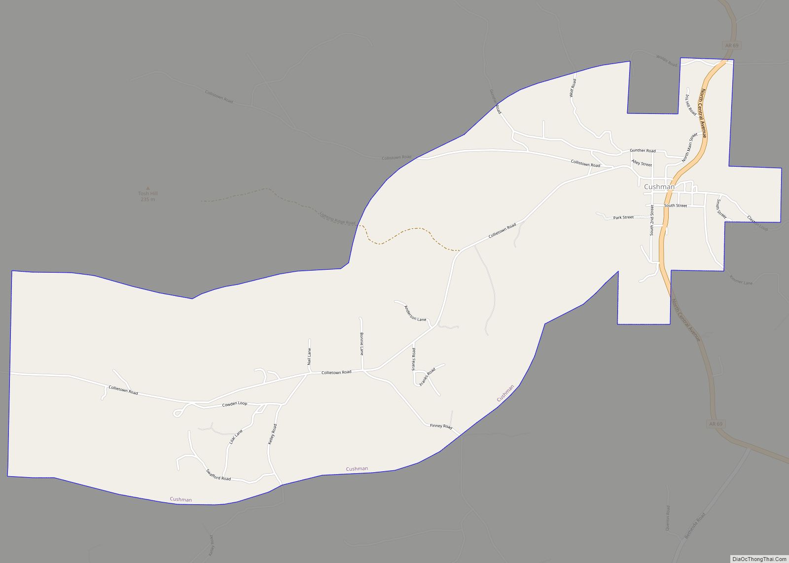
Cushman is a city in Independence County, Arkansas, United States. The population was 433 at the 2020 census. Cushman city overview: Name: Cushman city LSAD Code: 25 LSAD Description: city (suffix) State: Arkansas County: Independence County Elevation: 702 ft (214 m) Total Area: 4.08 sq mi (10.56 km²) Land Area: 4.08 sq mi (10.56 km²) Water Area: 0.00 sq mi (0.00 km²) Total Population: 433 Population ... Read more
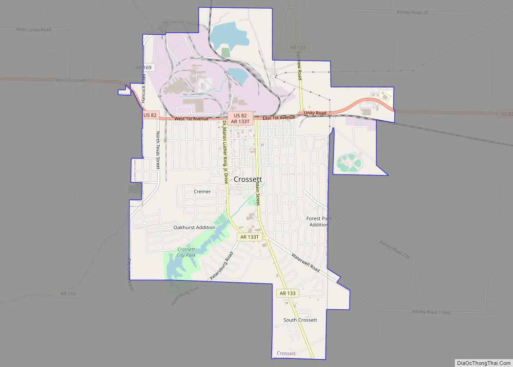
Crossett is the largest city in Ashley County, Arkansas, United States, with a population of 5,507, according to 2010 Census Bureau estimates. Combined with North Crossett and West Crossett, the population is 10,752. Crossett was incorporated in 1903. There are four properties on Main Street in Crossett listed on the National Register of Historic Places, ... Read more
Danville is a city in Yell County, Arkansas, United States. The population was 2,409 at the 2010 census. Along with Dardanelle, it is one of two county seats for Yell County. Danville is part of the Russellville Micropolitan Statistical Area. Danville city overview: Name: Danville city LSAD Code: 25 LSAD Description: city (suffix) State: Arkansas ... Read more

