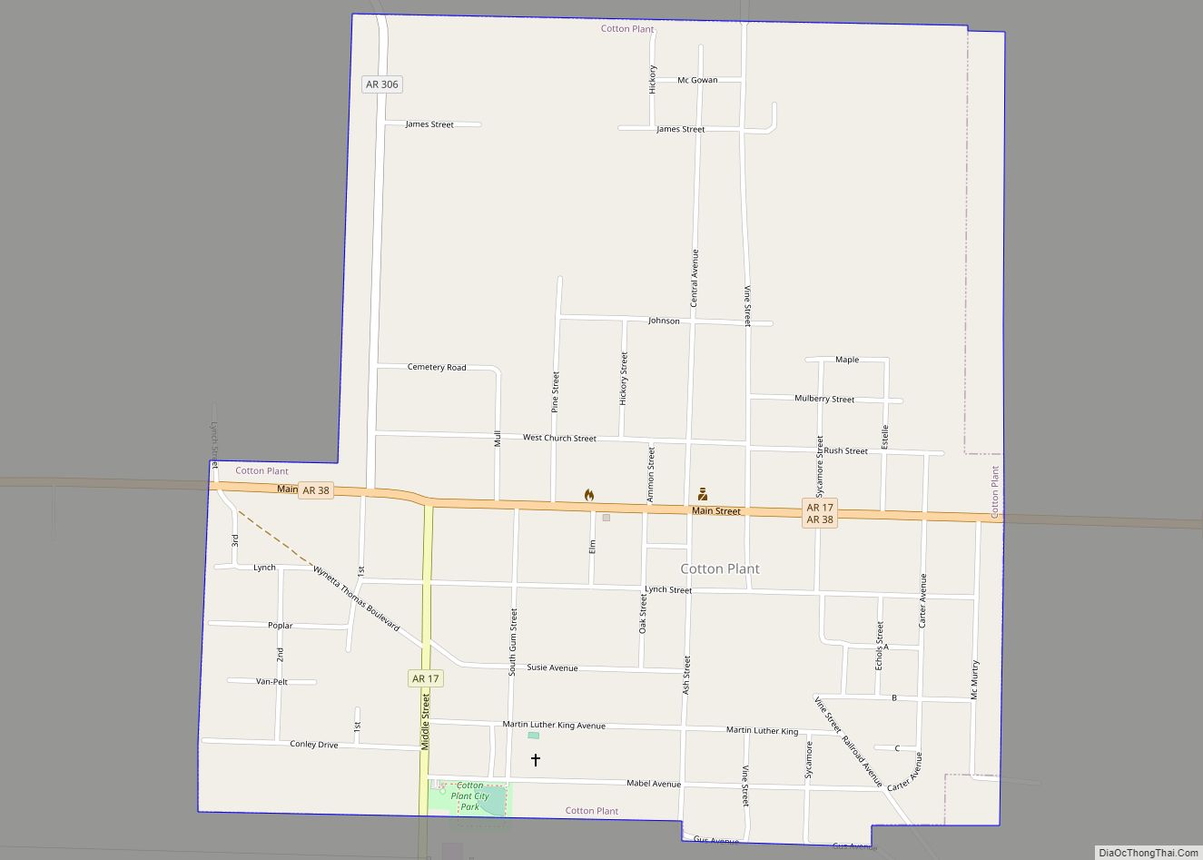
Cotton Plant is a city in southern Woodruff County, Arkansas, United States. As of the 2020 census, the city had a total population of 529.
| Name: | Cotton Plant city |
|---|---|
| LSAD Code: | 25 |
| LSAD Description: | city (suffix) |
| State: | Arkansas |
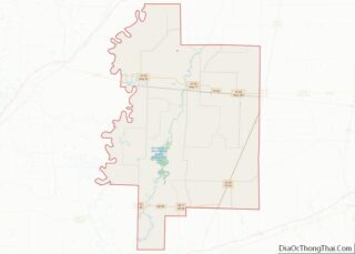
| County: | Woodruff County |
| Incorporated: | November 14, 1887 |
| Elevation: | 194 ft (59 m) |
| Total Area: | 1.04 sq mi (2.69 km²) |
| Land Area: | 1.04 sq mi (2.69 km²) |
| Water Area: | 0.00 sq mi (0.00 km²) |
| Total Population: | 529 |
| Population Density: | 509.14/sq mi (196.62/km²) |
| ZIP code: | 72036 |
| Area code: | 870 |
| FIPS code: | 0515550 |
| GNISfeature ID: | 0076683 |
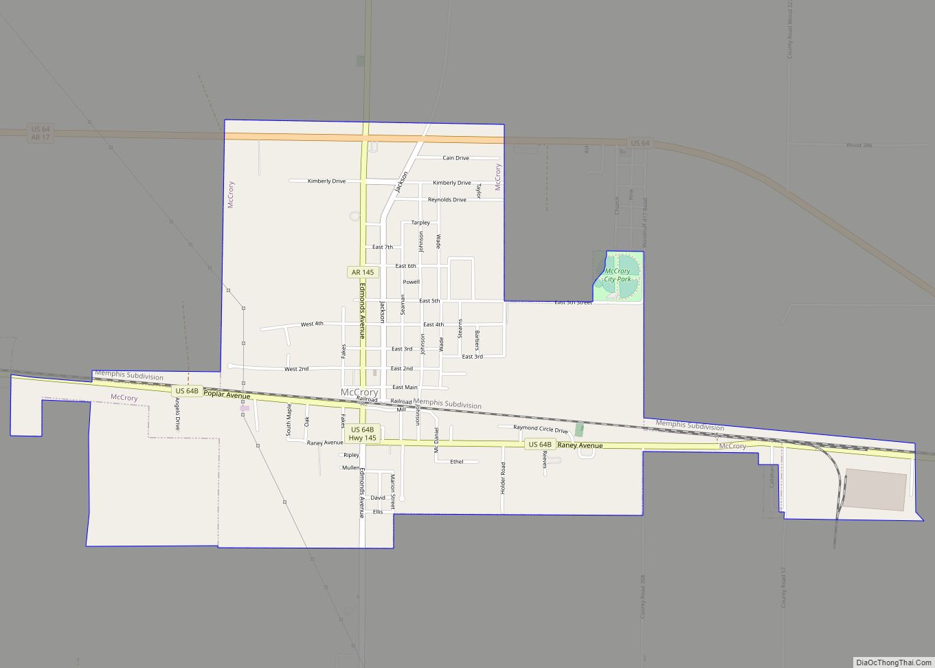
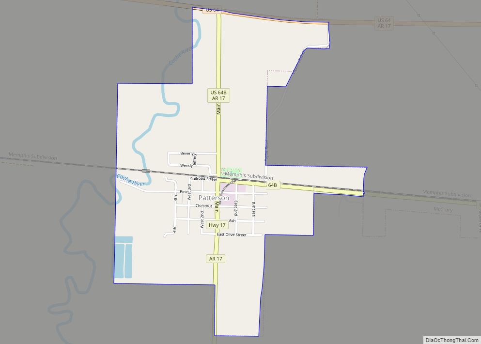
Online Interactive Map
Click on ![]() to view map in "full screen" mode.
to view map in "full screen" mode.
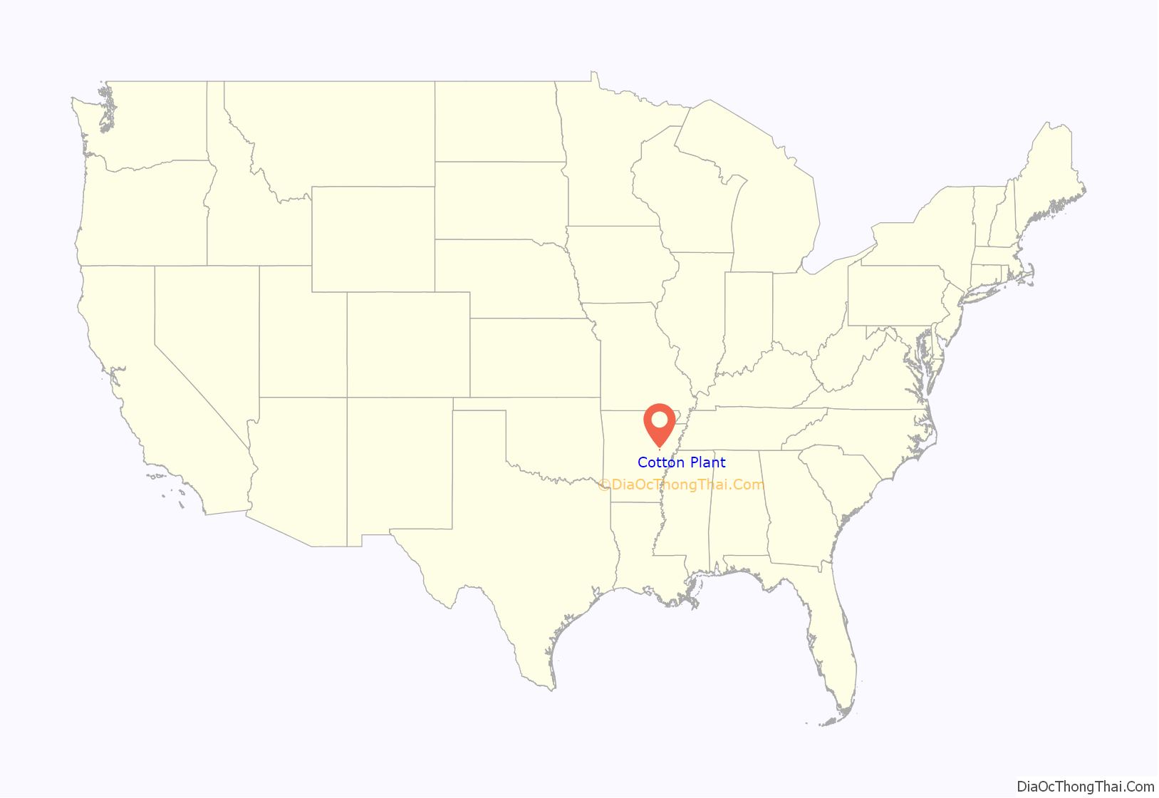
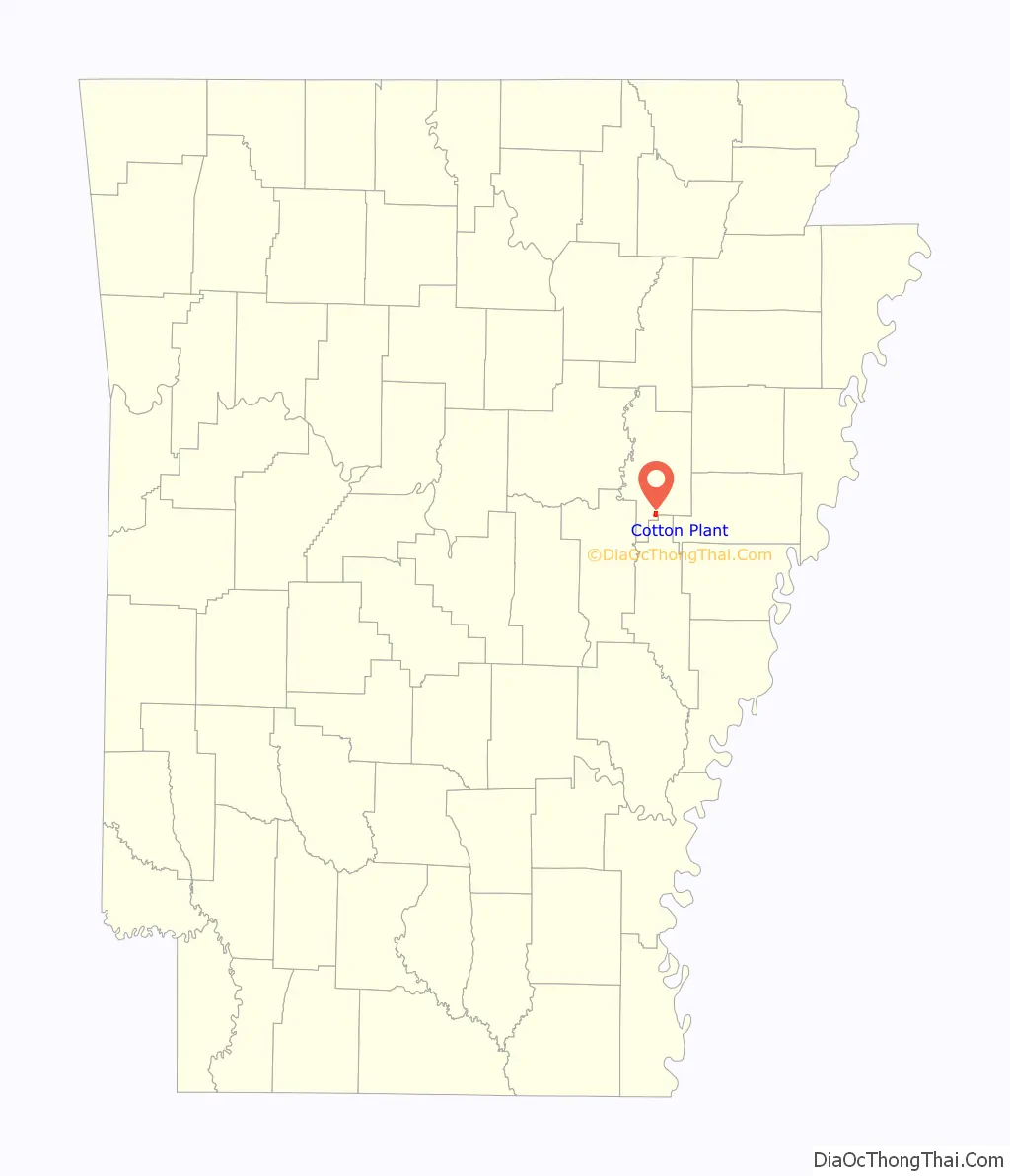
Cotton Plant location map. Where is Cotton Plant city?
History
In 1820, when settlers from neighboring states first came to the Cotton Plant area, it was covered in dense timber and cane. As a small town began to take shape at the site of present-day Cotton Plant, those settlers initially gave their new community the name, Richmond.
William Lynch brought cotton seeds with him from Mississippi in 1846, and the new crop flourished. The community was forced to change its name to Cotton Plant since a community named Richmond was already registered in Little River County. On July 7, 1862, Confederate units and Cotton Plant locals skirmished with the 1st and 2nd Brigade, 1st Division, Army of the Southwest for the Union, a last-ditch effort by the Confederates to stop Samuel Curtis’ march to Helena. The Confederates were soundly defeated, allowing Curtis and his army to eventually take Helena, resupply his army, and take Little Rock the following year.
A new line of the Batesville and Brinkley Railroad charged the Cotton Plant economy when it was completed in 1881. Warehouses, cotton gins, and a cotton compress brought jobs to the city, and downtown Cotton Plant became a bustling cultural center for Woodruff County. In 1908, the newly completed Missouri and North Arkansas Railroad opened up the timber industry about Cotton Plant, bringing the Standard Stave and Hoop Mill, sawmills, woodworking factories, and a veneer plant in subsequent years. Hit hard by the Great Depression, the Works Progress Administration was tasked with installing a water and sewer system in town in 1935. Residents celebrated with fireworks and parades upon the completion of the project. The community was also impacted by World War II, but boomed after the war, experiencing its most prosperous times in the 1950s.
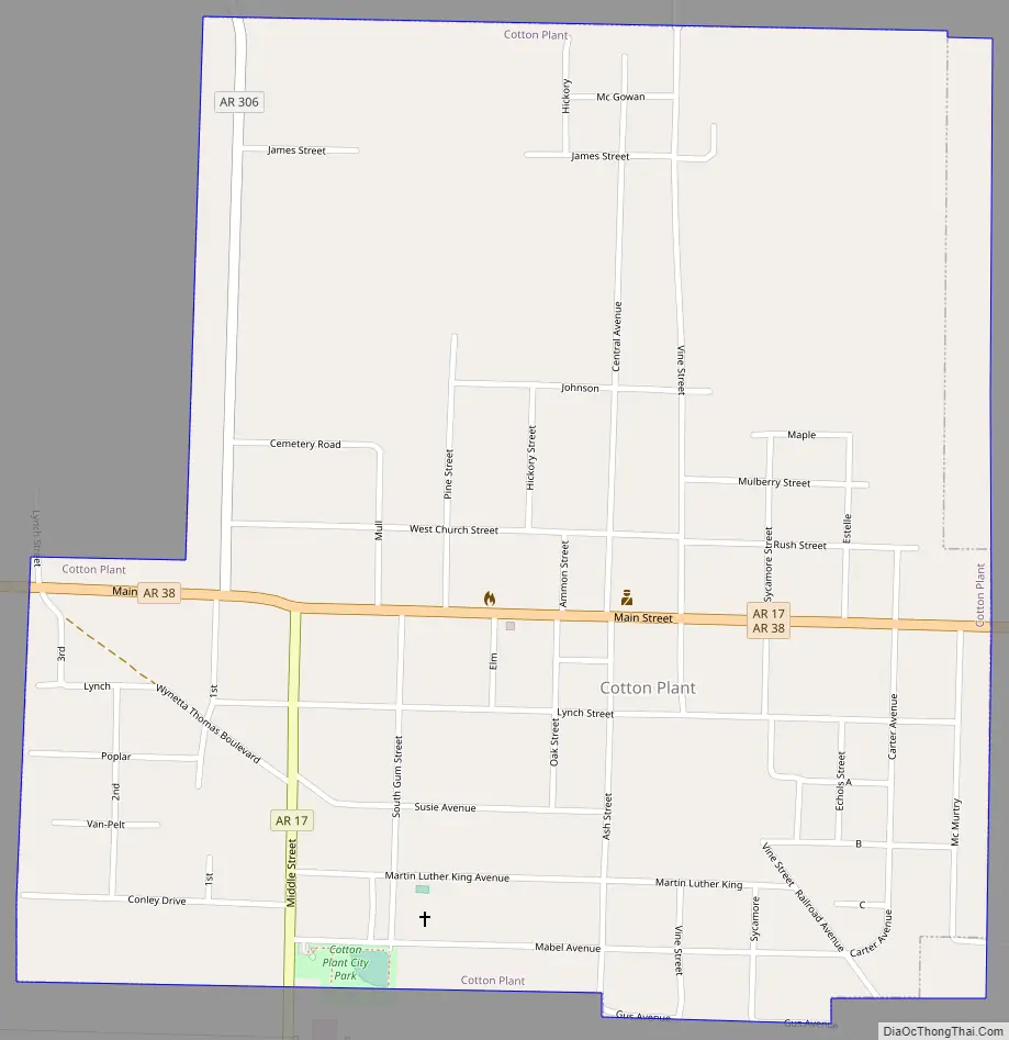
Cotton Plant Road Map
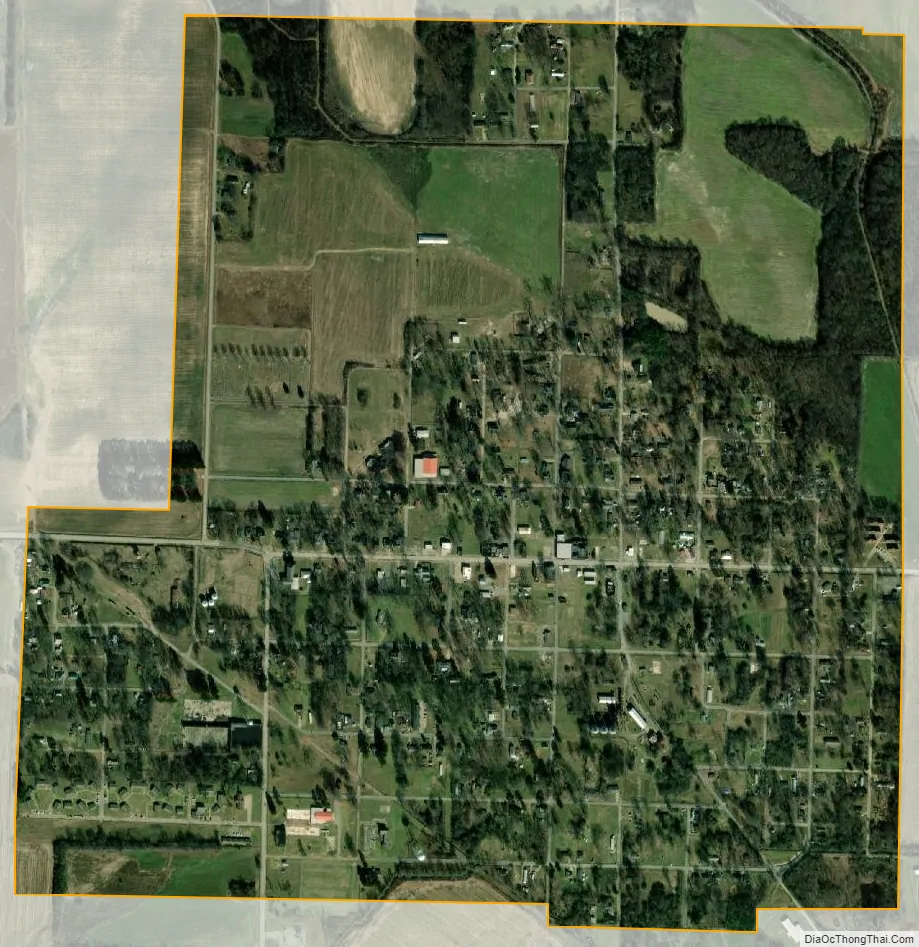
Cotton Plant city Satellite Map
Geography
According to the United States Census Bureau, the city has a total area of 1.0 square mile (2.6 km), all land.
See also
Map of Arkansas State and its subdivision:- Arkansas
- Ashley
- Baxter
- Benton
- Boone
- Bradley
- Calhoun
- Carroll
- Chicot
- Clark
- Clay
- Cleburne
- Cleveland
- Columbia
- Conway
- Craighead
- Crawford
- Crittenden
- Cross
- Dallas
- Desha
- Drew
- Faulkner
- Franklin
- Fulton
- Garland
- Grant
- Greene
- Hempstead
- Hot Spring
- Howard
- Independence
- Izard
- Jackson
- Jefferson
- Johnson
- Lafayette
- Lawrence
- Lee
- Lincoln
- Little River
- Logan
- Lonoke
- Madison
- Marion
- Miller
- Mississippi
- Monroe
- Montgomery
- Nevada
- Newton
- Ouachita
- Perry
- Phillips
- Pike
- Poinsett
- Polk
- Pope
- Prairie
- Pulaski
- Randolph
- Saint Francis
- Saline
- Scott
- Searcy
- Sebastian
- Sevier
- Sharp
- Stone
- Union
- Van Buren
- Washington
- White
- Woodruff
- Yell
- Alabama
- Alaska
- Arizona
- Arkansas
- California
- Colorado
- Connecticut
- Delaware
- District of Columbia
- Florida
- Georgia
- Hawaii
- Idaho
- Illinois
- Indiana
- Iowa
- Kansas
- Kentucky
- Louisiana
- Maine
- Maryland
- Massachusetts
- Michigan
- Minnesota
- Mississippi
- Missouri
- Montana
- Nebraska
- Nevada
- New Hampshire
- New Jersey
- New Mexico
- New York
- North Carolina
- North Dakota
- Ohio
- Oklahoma
- Oregon
- Pennsylvania
- Rhode Island
- South Carolina
- South Dakota
- Tennessee
- Texas
- Utah
- Vermont
- Virginia
- Washington
- West Virginia
- Wisconsin
- Wyoming