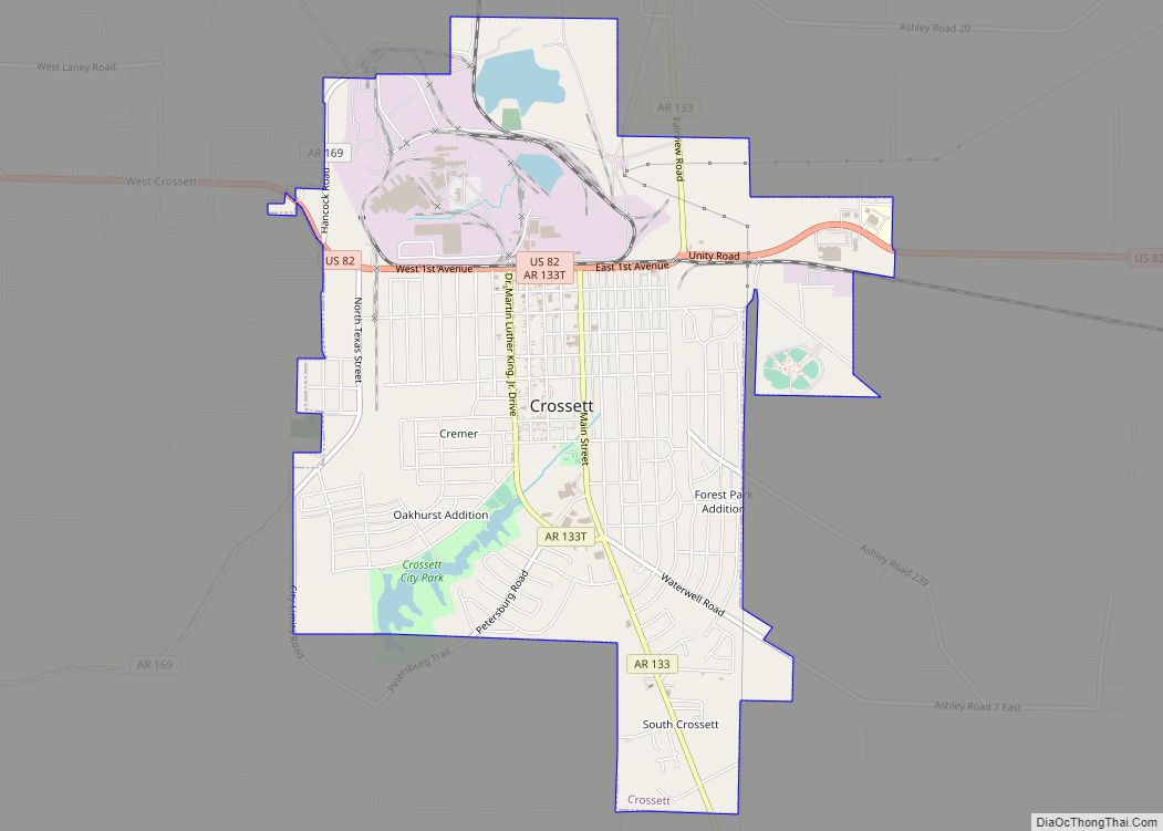
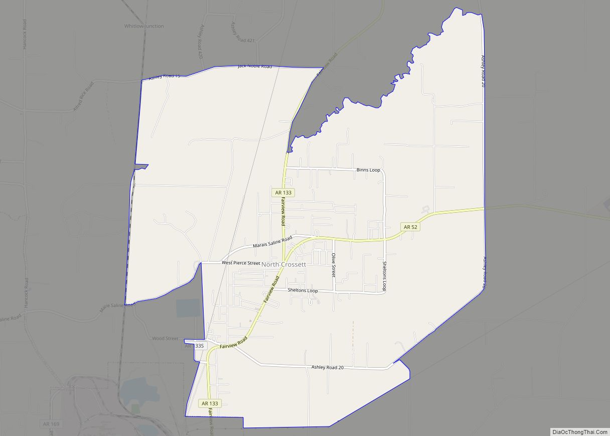
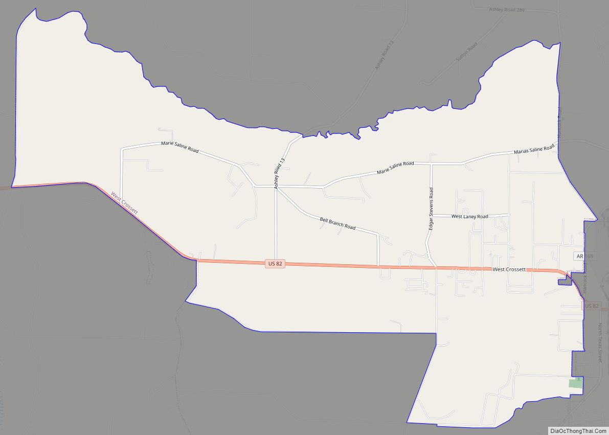
Crossett is the largest city in Ashley County, Arkansas, United States, with a population of 5,507, according to 2010 Census Bureau estimates. Combined with North Crossett and West Crossett, the population is 10,752. Crossett was incorporated in 1903.
There are four properties on Main Street in Crossett listed on the National Register of Historic Places, as well as the Crossett Experimental Forest, located 7 mi (11 km) south.
| Name: | Crossett city |
|---|---|
| LSAD Code: | 25 |
| LSAD Description: | city (suffix) |
| State: | Arkansas |
| County: | Ashley County |
| Elevation: | 164 ft (50 m) |
| Total Area: | 5.96 sq mi (15.44 km²) |
| Land Area: | 5.79 sq mi (15.00 km²) |
| Water Area: | 0.17 sq mi (0.43 km²) |
| Total Population: | 4,822 |
| Population Density: | 832.53/sq mi (321.41/km²) |
| ZIP code: | 71635 |
| Area code: | 870 |
| FIPS code: | 0516240 |
| GNISfeature ID: | 0057612 |
| Website: | www.cityofcrossett-ar.com |
Online Interactive Map
Click on ![]() to view map in "full screen" mode.
to view map in "full screen" mode.
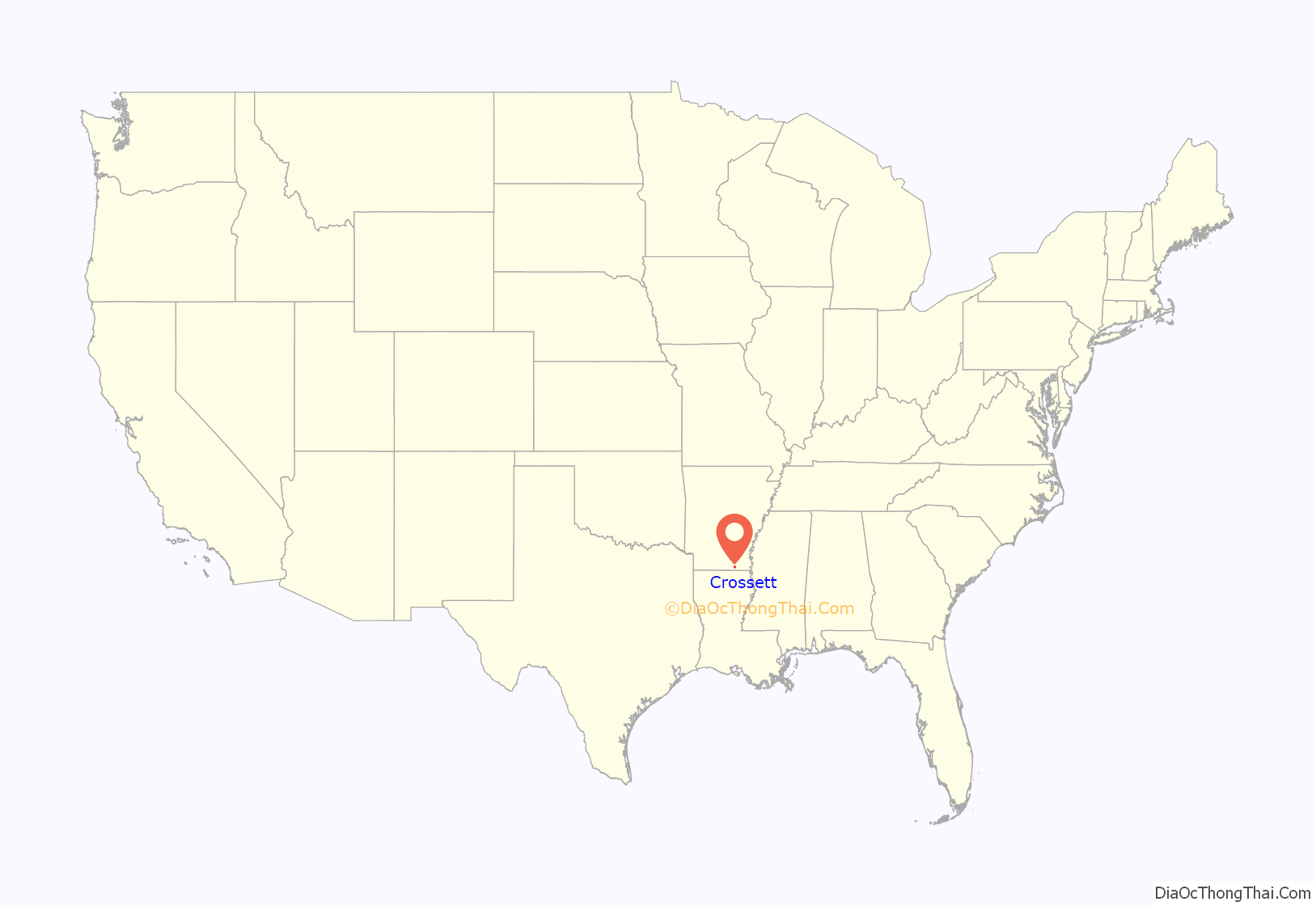
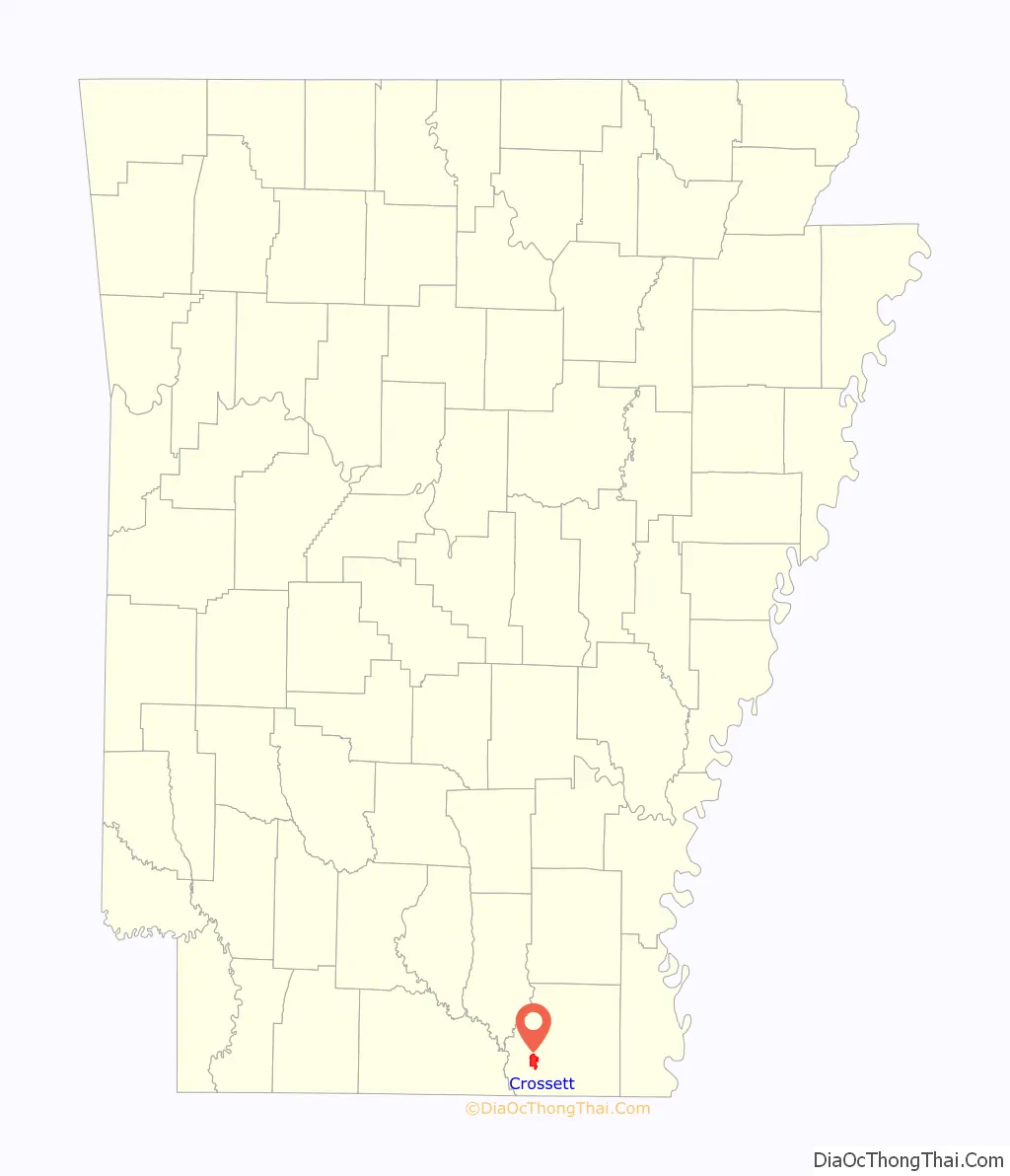
Crossett location map. Where is Crossett city?
History
Edward Savage Crossett (1828–1910) moved to Davenport, Iowa in 1875. He became a member of the trading firm of Renwick, Shaw and Crossett. In 1882, Crossett made his first investment in a southern pine forest. In 1886 he sold his interest in the Renwick business, taking 10,000 acres of Arkansas land covered in yellow pines in payment. With fellow Iowans Charles Warner Gates and Dr. John Wenzel Watzek as investors in 1899, the Crossett Lumber Company was organized. Crossett was elected vice president of the society at its organizational meeting. Charles Gates’ brother, Edgar Woodward “Cap” Gates, was sent to southern Arkansas to oversee construction of the Mills and a new community, which his associates named in honor of Edward Savage Crossett.
The Crossett Lumber Company was established in 1899 with a small sawmill. The sawmill had a main steam engine, boiler, and heavy metal drive shafts and pulleys for sawing logs and lumber. The Mississippi River, Hamburg and Western Railroad (MRH&WR) reached Crossett on May 7, 1902. The first large pine mill began operation in 1902. The company built houses, schools and churches for the workers and their families. In 1903, all of this was incorporated as the company town of Crossett. The second large pine mill opened in 1905. By 1904, the Crossett Lumber Company had built the new village of Crossett for its workforce. The Chicago, Rock Island and Pacific Railroad (CRI&PR) reached Crossett on March 10, 1907. The Arkansas, Louisiana and Gulf Railroad (AL&GR) reached Crossett on October 1, 1908.
In 1937, the Crossett Lumber Company built the paper mill. By 1960, the Crossett Lumber Company had opened a kraft paper mill, a food carton factory, and a flakeboard factory that made sheets of boards used much like plywood.
The Crossett Lumber Company merged with the Georgia-Pacific Company in 1962.
Crossett Road Map
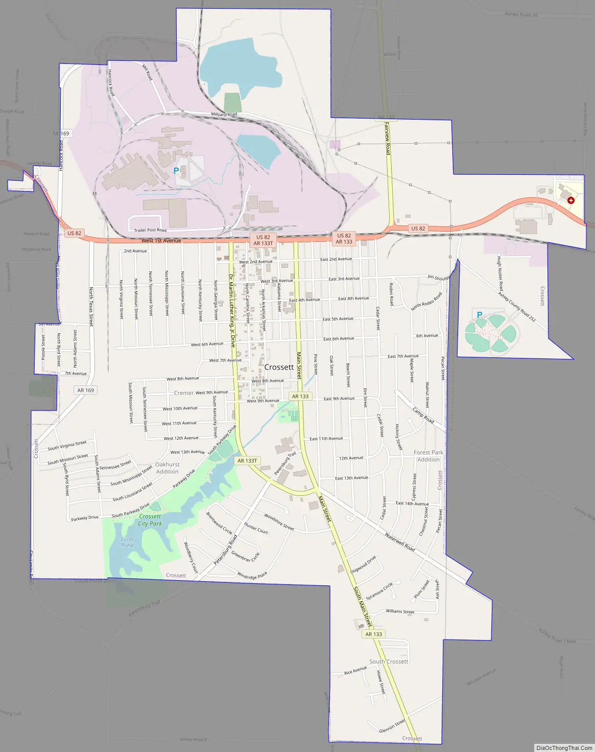
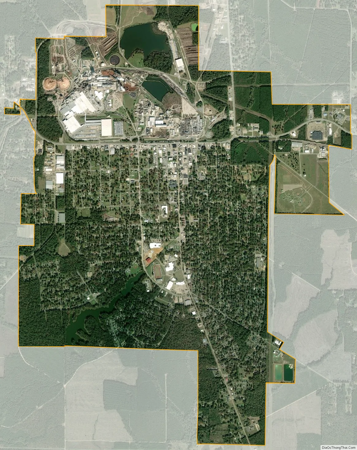
Crossett city Satellite Map
Geography
According to the United States Census Bureau, the city has a total area of 6.0 square miles (16 km), of which 5.8 square miles (15 km) is land and 0.2 square miles (0.52 km) (2.83%) is water.
See also
Map of Arkansas State and its subdivision:- Arkansas
- Ashley
- Baxter
- Benton
- Boone
- Bradley
- Calhoun
- Carroll
- Chicot
- Clark
- Clay
- Cleburne
- Cleveland
- Columbia
- Conway
- Craighead
- Crawford
- Crittenden
- Cross
- Dallas
- Desha
- Drew
- Faulkner
- Franklin
- Fulton
- Garland
- Grant
- Greene
- Hempstead
- Hot Spring
- Howard
- Independence
- Izard
- Jackson
- Jefferson
- Johnson
- Lafayette
- Lawrence
- Lee
- Lincoln
- Little River
- Logan
- Lonoke
- Madison
- Marion
- Miller
- Mississippi
- Monroe
- Montgomery
- Nevada
- Newton
- Ouachita
- Perry
- Phillips
- Pike
- Poinsett
- Polk
- Pope
- Prairie
- Pulaski
- Randolph
- Saint Francis
- Saline
- Scott
- Searcy
- Sebastian
- Sevier
- Sharp
- Stone
- Union
- Van Buren
- Washington
- White
- Woodruff
- Yell
- Alabama
- Alaska
- Arizona
- Arkansas
- California
- Colorado
- Connecticut
- Delaware
- District of Columbia
- Florida
- Georgia
- Hawaii
- Idaho
- Illinois
- Indiana
- Iowa
- Kansas
- Kentucky
- Louisiana
- Maine
- Maryland
- Massachusetts
- Michigan
- Minnesota
- Mississippi
- Missouri
- Montana
- Nebraska
- Nevada
- New Hampshire
- New Jersey
- New Mexico
- New York
- North Carolina
- North Dakota
- Ohio
- Oklahoma
- Oregon
- Pennsylvania
- Rhode Island
- South Carolina
- South Dakota
- Tennessee
- Texas
- Utah
- Vermont
- Virginia
- Washington
- West Virginia
- Wisconsin
- Wyoming