Map of Fordyce city

Map of Fordyce city, Arkansas

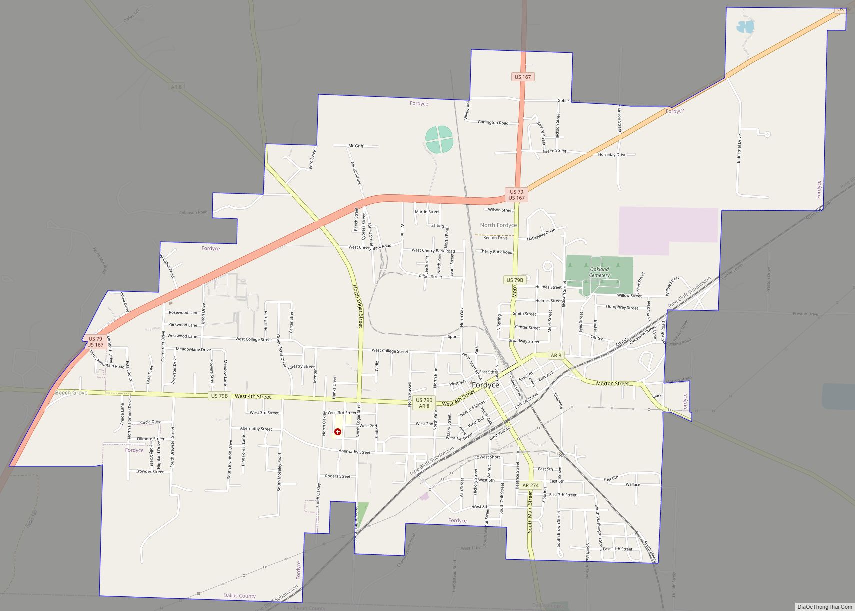
Fordyce is a small town in Dallas County, Arkansas, United States. Its population has been decreasing since the 1980’s when the town reached an all time high of 5,175. The population in 2020 was 3,396 down from 4,300 at the 2010 census, and from 4,799 in 2000. The city is the county seat, home to … Read more

Map of Flippin city

Map of Flippin city

Flippin is a city in Marion County, Arkansas, United States. The population was 1,345 at the 2020 census. The city was named for the Thomas H. Flippin family and was incorporated in 1921. The Thomas H. Flippin Chapter of the Arkansas State Society, National Society United States Daughters of 1812, was named for the military … Read more

Map of Fountain Hill town

Map of Fountain Hill town, Arkansas

Fountain Hill is a town in Ashley County, Arkansas, United States. The population was 175 at the 2010 census. Fountain Hill town overview: Name: Fountain Hill town LSAD Code: 43 LSAD Description: town (suffix) State: Arkansas County: Ashley County Elevation: 190 ft (58 m) Total Area: 0.57 sq mi (1.47 km²) Land Area: 0.57 sq mi (1.47 km²) Water Area: 0.00 sq mi (0.00 km²) Total … Read more

Map of Fouke city

Map of Fouke city

Fouke /ˈfaʊk/ is a city in Miller County, Arkansas, United States. It is part of the Texarkana, Texas – Texarkana, Arkansas Metropolitan Statistical Area. The population was 808 at the 2020 census. It received brief widespread attention in the early 1970s due to sightings/claims of a bigfoot-like creature known as the “Fouke Monster”, as well … Read more

Map of Forrest City city

Map of Forrest City

Forrest City is a city in St. Francis County, Arkansas, United States, and the county seat. It was named for General Nathan Bedford Forrest, a notable Confederate military leader. Shortly after the end of the Civil War, he had a construction crew camped here, who were completing a railroad between Memphis and Little Rock. The … Read more

Map of Franklin town, Arkansas

Map of Franklin town, Arkansas

Franklin is a town in Izard County, Arkansas, United States. The population was 198 at the 2010 census. Franklin town overview: Name: Franklin town LSAD Code: 43 LSAD Description: town (suffix) State: Arkansas County: Izard County Elevation: 571 ft (174 m) Total Area: 2.13 sq mi (5.52 km²) Land Area: 2.13 sq mi (5.52 km²) Water Area: 0.00 sq mi (0.00 km²) Total Population: 191 Population … Read more

Map of Fourche town

Map of Fourche town

Fourche (/ˈfʊʃ/ FUUSH) is a town in Perry County, Arkansas, United States. The population was 59 at the 2000 census. It is part of the Little Rock–North Little Rock–Conway Metropolitan Statistical Area. Fourche town overview: Name: Fourche town LSAD Code: 43 LSAD Description: town (suffix) State: Arkansas County: Perry County Elevation: 299 ft (91 m) Total Area: … Read more

Map of Fountain Lake town

Map of Fountain Lake town

Fountain Lake is a city in Garland County, Arkansas, United States. It is part of the Hot Springs Metropolitan Statistical Area. The population was 503 at the 2010 census. Fountain Lake town overview: Name: Fountain Lake town LSAD Code: 43 LSAD Description: town (suffix) State: Arkansas County: Garland County Elevation: 591 ft (180 m) Total Area: 4.25 sq mi … Read more

Map of Friendship town

Map of Friendship town, Arkansas

Friendship is a town in Hot Spring County, Arkansas, United States. The population was 176 at the 2010 census, down from 206 at the 2000 census. Friendship town overview: Name: Friendship town LSAD Code: 43 LSAD Description: town (suffix) State: Arkansas County: Hot Spring County Elevation: 302 ft (92 m) Total Area: 0.71 sq mi (1.84 km²) Land Area: 0.71 sq mi … Read more

Map of Fredonia (Biscoe) town, Arkansas

Map of Fredonia (Biscoe) town, Arkansas

Fredonia (Biscoe) is a city in Prairie County, Arkansas, United States. The population was 363 at the 2010 census. Local myth claimed the town’s name “Fredonia” was for the Republic of Fredonia movement of Mexican Texas in the 1820s by a group of Arkansas Cherokee people settled near Nacogdoches, Texas. The settlers backed by white … Read more

Map of Fulton town, Arkansas

Map of Fulton town, Arkansas

Fulton is a town in Hempstead County, Arkansas, United States. The population was 201 at the 2010 census. It is part of the Hope Micropolitan Statistical Area. The community is named after steamboat inventor Robert Fulton. Fulton town overview: Name: Fulton town LSAD Code: 43 LSAD Description: town (suffix) State: Arkansas County: Hempstead County Elevation: … Read more

Map of Garner town

Map of Garner town, Arkansas

Garner is a town in White County, Arkansas, United States. Brandy Goodwin is the current mayor. The population was 284 at the 2000 census. Garner town overview: Name: Garner town LSAD Code: 43 LSAD Description: town (suffix) State: Arkansas County: White County Elevation: 220 ft (67 m) Total Area: 0.84 sq mi (2.18 km²) Land Area: 0.79 sq mi (2.04 km²) Water Area: … Read more