Fordyce is a small town in Dallas County, Arkansas, United States. Its population has been decreasing since the 1980’s when the town reached an all time high of 5,175. The population in 2020 was 3,396 down from 4,300 at the 2010 census, and from 4,799 in 2000.
The city is the county seat, home to the 1911 Dallas County Courthouse.
Within Fordyce there are 19 sites listed on the National Register of Historic Places, including the Fordyce Home Accident Insurance Company. The town was named for Samuel W. Fordyce.
| Name: | Fordyce city |
|---|---|
| LSAD Code: | 25 |
| LSAD Description: | city (suffix) |
| State: | Arkansas |
| County: | Dallas County |
| Elevation: | 285 ft (87 m) |
| Total Area: | 6.81 sq mi (17.65 km²) |
| Land Area: | 6.81 sq mi (17.65 km²) |
| Water Area: | 0.00 sq mi (0.00 km²) |
| Total Population: | 3,396 |
| Population Density: | 498.39/sq mi (192.42/km²) |
| ZIP code: | 71742 |
| Area code: | 870 |
| FIPS code: | 0524220 |
| GNISfeature ID: | 0049160 |
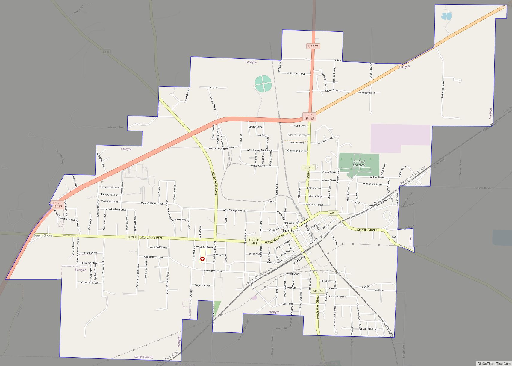
Online Interactive Map
Click on ![]() to view map in "full screen" mode.
to view map in "full screen" mode.
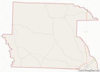
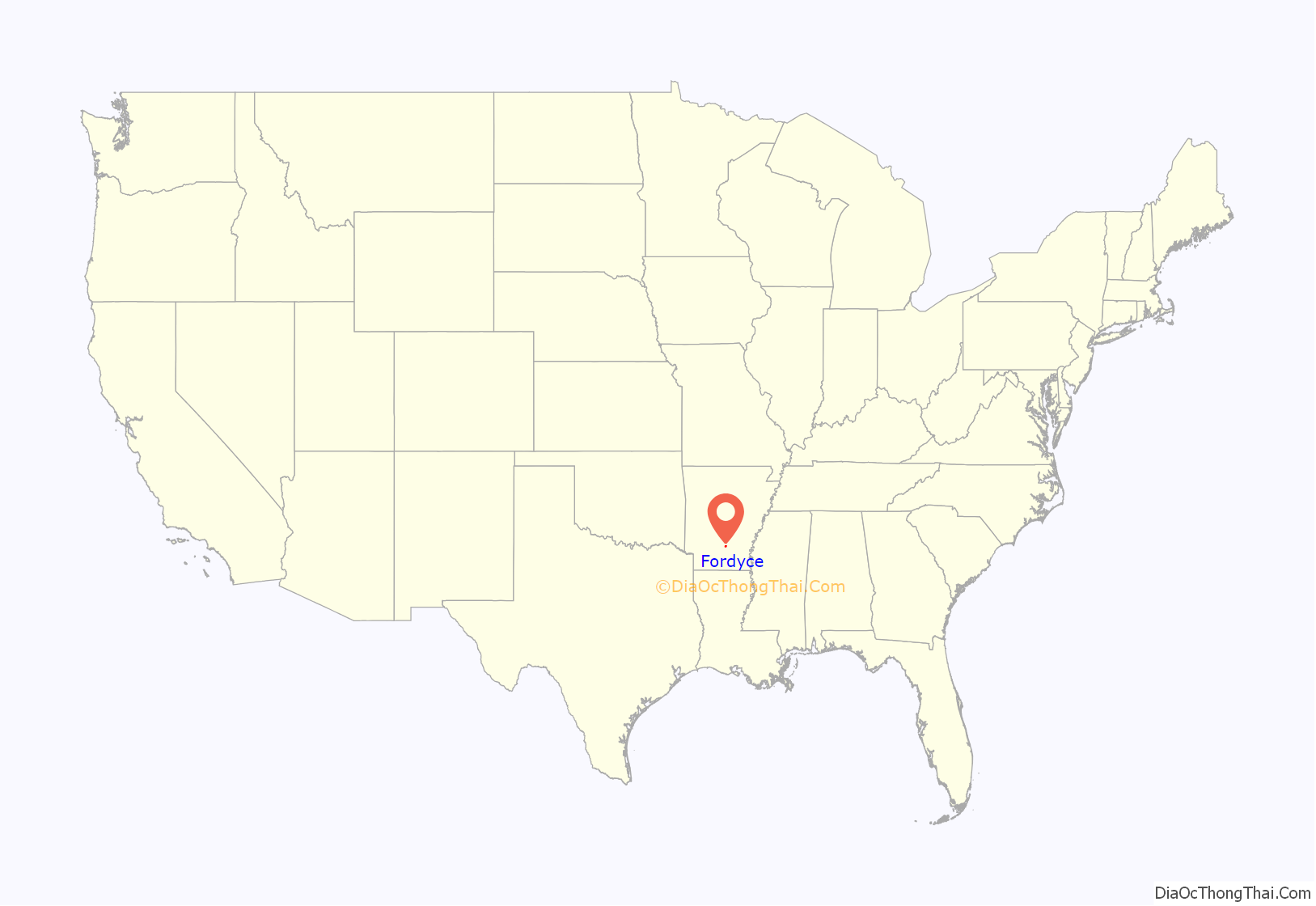
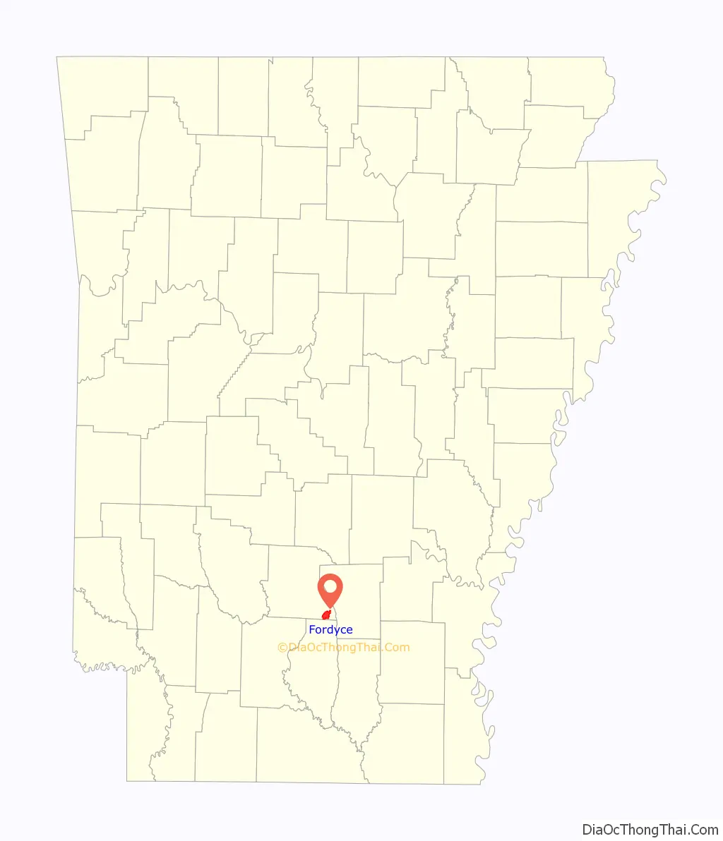
Fordyce location map. Where is Fordyce city?
History
Before European settlement the area was inhabited by the Caddo people, whose artifacts are occasionally found. The land that became Fordyce was partially cleared prior to 1850 by W. W. Killabrew, an early settler. In the 1870’s the land was owned by an African American named Henry Atkinson who sold it to Dr. Algernon Sidney Holderness for $118, who built the very first sawmill in town.
The town of the town of Fordyce was named for Samuel Wesley Fordyce. Little construction took place until 1881 when four railroad lines were constructed in the Dallas County, one of which was surveyed by Samuel Fordyce. The St. Louis Southwestern Railway Company was completed in 1883 under Fordyce’s management, which he operated for sixteen years. The rail line called the Cotton Belt Line passed thru the town of Fordyce until 1940 when the rail lines were abandoned, and trucks on the roads replaced the trains.
By 1890 Fordyce was the largest town in the county and on April 8, 1908 it became incorporated and the seat of Dallas County.
The Fordyce Lumber Co. was formed in February 1892 by Charles Warner Gates, John Wenzel Watzek and Edward Savage Crossett. Within four years of starting the Fordyce Lumber Co., the partners began the Crossett Lumber Co. in 1899. The city of Crossett is named after Edward Savage Crossett. On March 10, 1907, the Chicago, Rock Island and Pacific Railroad (CRI&PR) connected the town of Crossett to Fordyce. The (CRI&PR) allowed timber and lumber to move between the sawmills in Crossett to Fordyce that were owned by Charles Warner Gates, John Wenzel Watzek and Edward Savage Crossett.
The first high school football team in the state of Arkansas was started in Fordyce in 1904.
On July 5, 1975 The Rolling Stones band members Keith Richards and Ron Wood were arrested in Fordyce for reckless driving, carrying an illegal weapon- a hunting knife, and less than two grams of cocaine said to belong to a passenger in the car. They drank soda pop at the City Hall and called the British Embassy while a crowd gathered outside, but were released some hours later after paying $162.50 in bail and then they forfeited bond- not appearing on their court date. 31 years later in 2006 Richards was pardoned for the incident by the governor at the time Mike Huckabee.
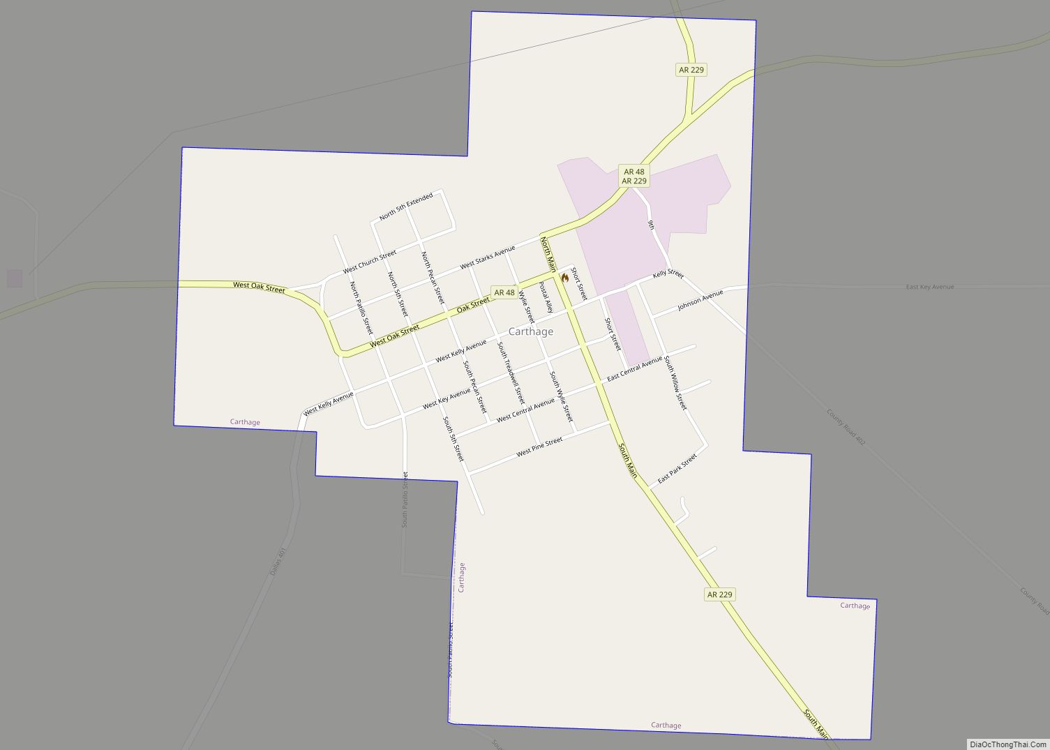
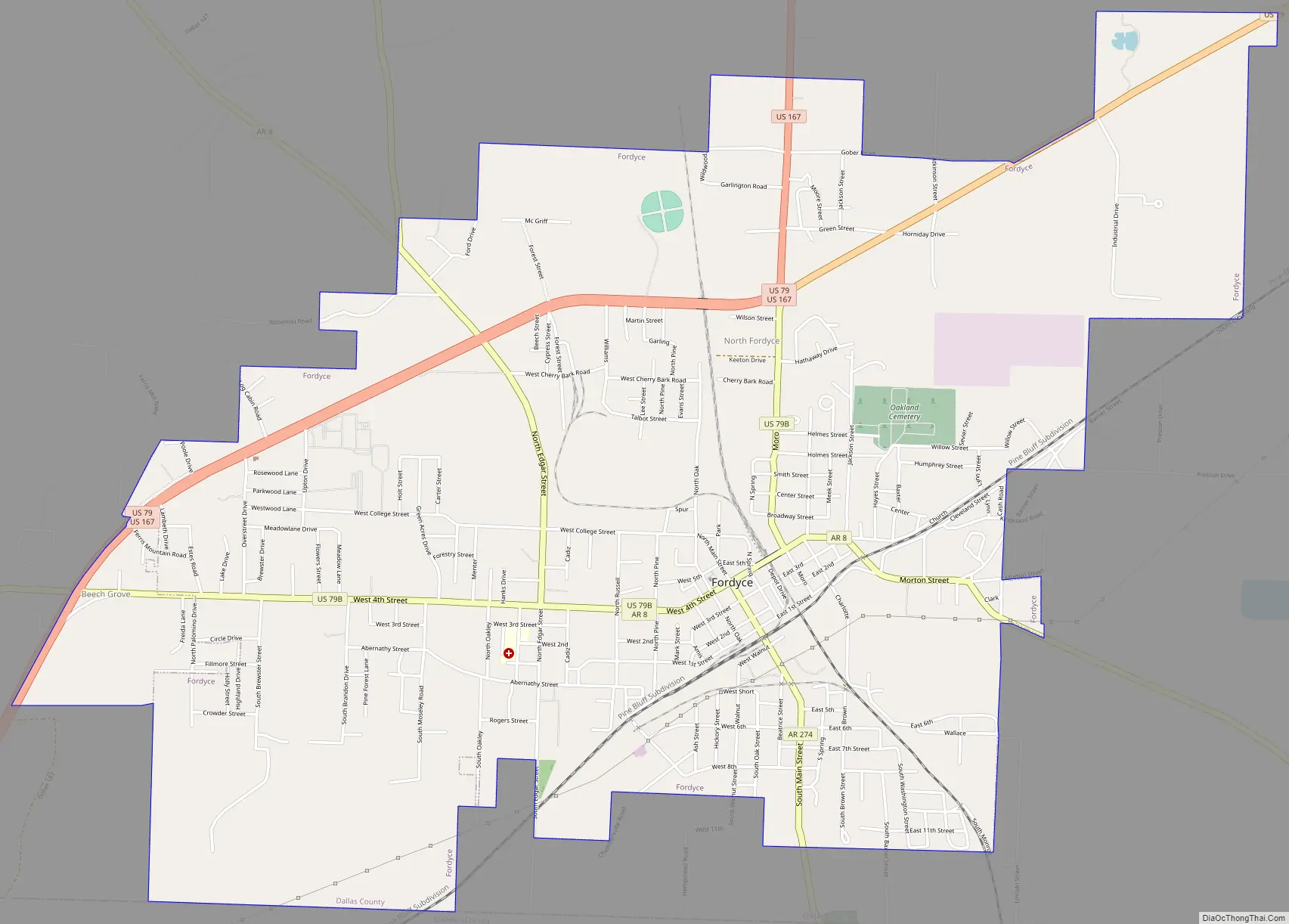
Fordyce Road Map
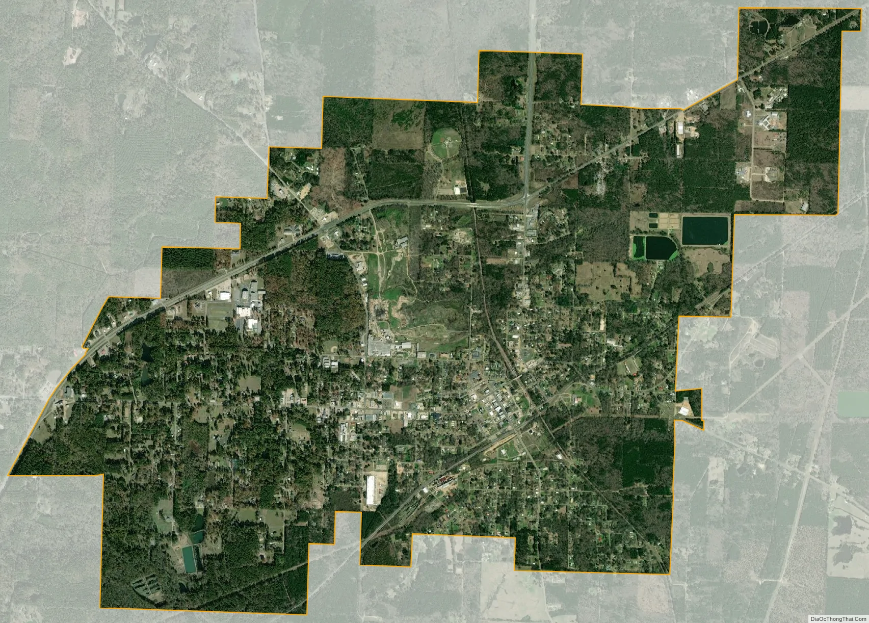
Fordyce city Satellite Map
Geography
Fordyce is located in southeastern Dallas County, with the city’s southern border following the Calhoun County line. U.S. Routes 79 and 167 bypass the city center to the north and west, while Arkansas Highway 8 passes through the downtown area. US 79 leads northeast 42 miles (68 km) to Pine Bluff and southwest 31 miles (50 km) to Camden, while US 167 leads north 35 miles (56 km) to Sheridan and south 51 miles (82 km) to El Dorado. AR 8 leads southeast 26 miles (42 km) to Warren and northwest 49 miles (79 km) to Arkadelphia.
According to the United States Census Bureau, Fordyce has a total area of 6.8 square miles (17.5 km), all land.
See also
Map of Arkansas State and its subdivision:- Arkansas
- Ashley
- Baxter
- Benton
- Boone
- Bradley
- Calhoun
- Carroll
- Chicot
- Clark
- Clay
- Cleburne
- Cleveland
- Columbia
- Conway
- Craighead
- Crawford
- Crittenden
- Cross
- Dallas
- Desha
- Drew
- Faulkner
- Franklin
- Fulton
- Garland
- Grant
- Greene
- Hempstead
- Hot Spring
- Howard
- Independence
- Izard
- Jackson
- Jefferson
- Johnson
- Lafayette
- Lawrence
- Lee
- Lincoln
- Little River
- Logan
- Lonoke
- Madison
- Marion
- Miller
- Mississippi
- Monroe
- Montgomery
- Nevada
- Newton
- Ouachita
- Perry
- Phillips
- Pike
- Poinsett
- Polk
- Pope
- Prairie
- Pulaski
- Randolph
- Saint Francis
- Saline
- Scott
- Searcy
- Sebastian
- Sevier
- Sharp
- Stone
- Union
- Van Buren
- Washington
- White
- Woodruff
- Yell
- Alabama
- Alaska
- Arizona
- Arkansas
- California
- Colorado
- Connecticut
- Delaware
- District of Columbia
- Florida
- Georgia
- Hawaii
- Idaho
- Illinois
- Indiana
- Iowa
- Kansas
- Kentucky
- Louisiana
- Maine
- Maryland
- Massachusetts
- Michigan
- Minnesota
- Mississippi
- Missouri
- Montana
- Nebraska
- Nevada
- New Hampshire
- New Jersey
- New Mexico
- New York
- North Carolina
- North Dakota
- Ohio
- Oklahoma
- Oregon
- Pennsylvania
- Rhode Island
- South Carolina
- South Dakota
- Tennessee
- Texas
- Utah
- Vermont
- Virginia
- Washington
- West Virginia
- Wisconsin
- Wyoming