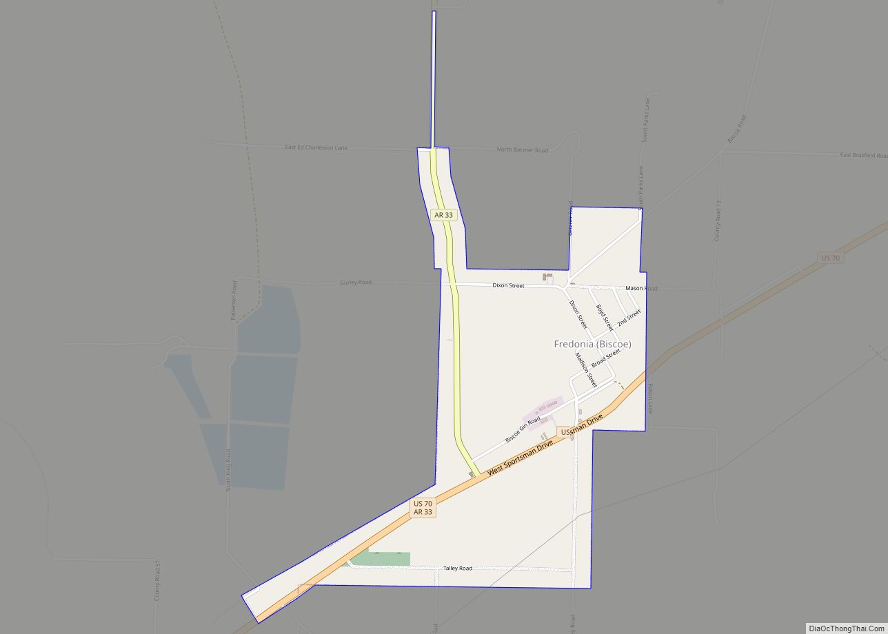
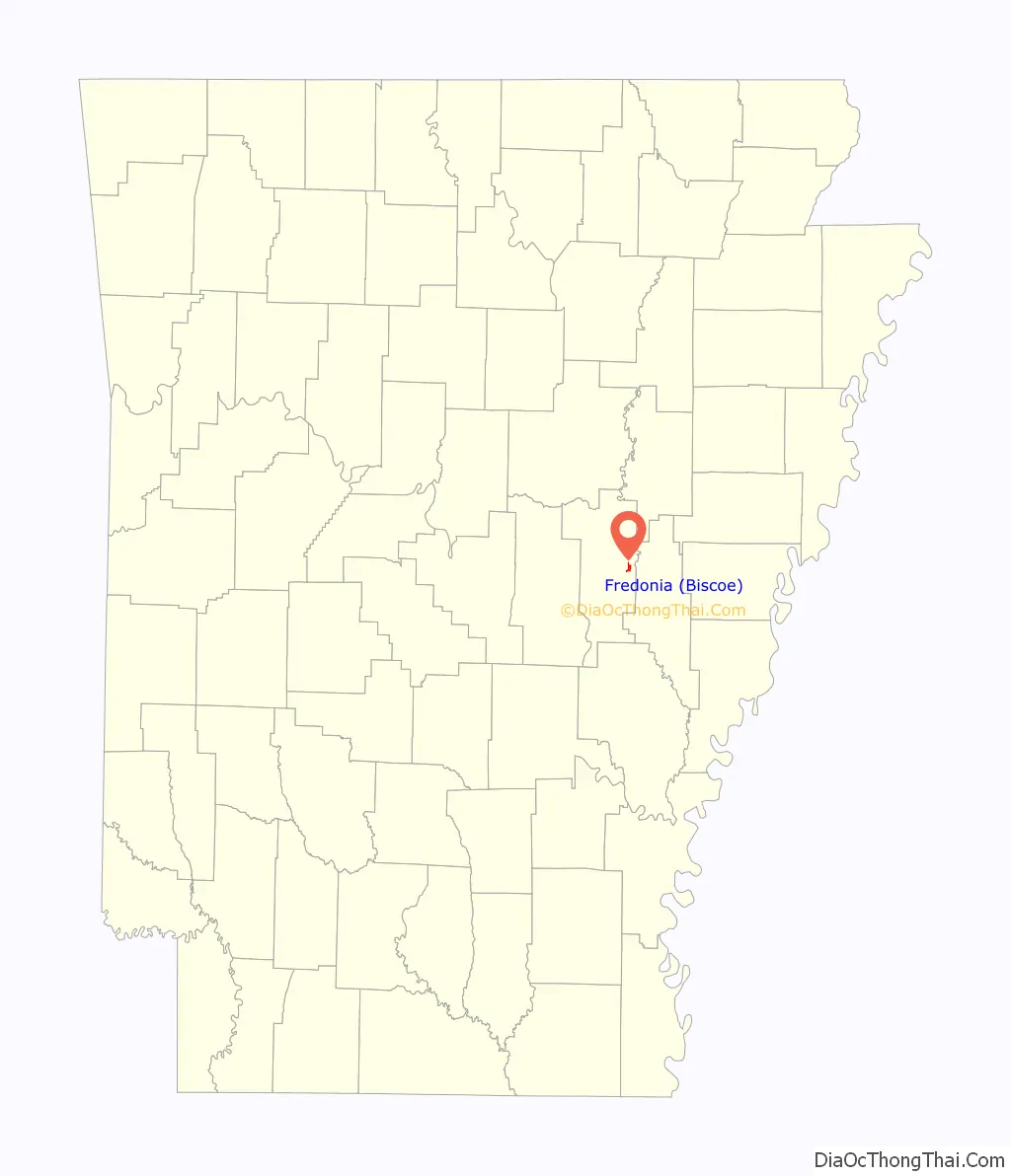
Fredonia (Biscoe) is a city in Prairie County, Arkansas, United States. The population was 363 at the 2010 census.
Local myth claimed the town’s name “Fredonia” was for the Republic of Fredonia movement of Mexican Texas in the 1820s by a group of Arkansas Cherokee people settled near Nacogdoches, Texas. The settlers backed by white Southerners from the U.S. wanted to establish an independent Native nation but the dream ended in an armed conflict by Mexican troops.
“Biscoe” was the town’s official name for most of its history, being written in parentheses. It was founded in the 1810s by several thousand Cherokee settlers from Tennessee in a piece of land set aside for the Western band of Cherokee, who lost their sovereignty when Arkansas became a state in 1836. The town has an African-American majority from a history of slavery in the antebellum era and agricultural labor afterwards.
| Name: | Fredonia (Biscoe) town |
|---|---|
| LSAD Code: | 43 |
| LSAD Description: | town (suffix) |
| State: | Arkansas |
| County: | Prairie County |
| Total Area: | 0.95 sq mi (2.47 km²) |
| Land Area: | 0.95 sq mi (2.47 km²) |
| Water Area: | 0.00 sq mi (0.00 km²) |
| Total Population: | 305 |
| Population Density: | 319.37/sq mi (123.26/km²) |
| ZIP code: | 72017 |
| FIPS code: | 0525060 |
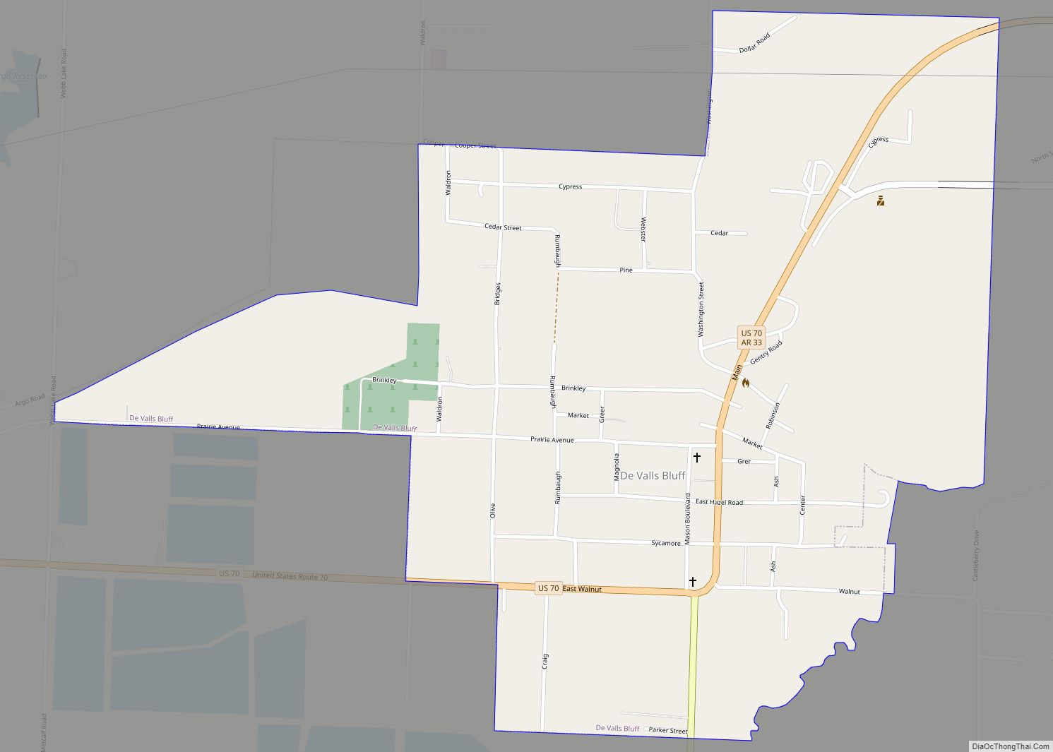
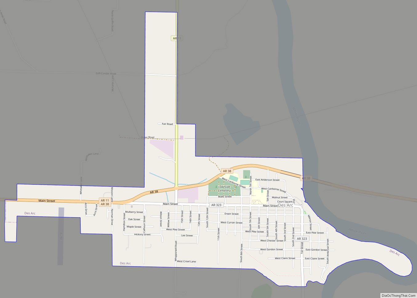
Online Interactive Map
Click on ![]() to view map in "full screen" mode.
to view map in "full screen" mode.
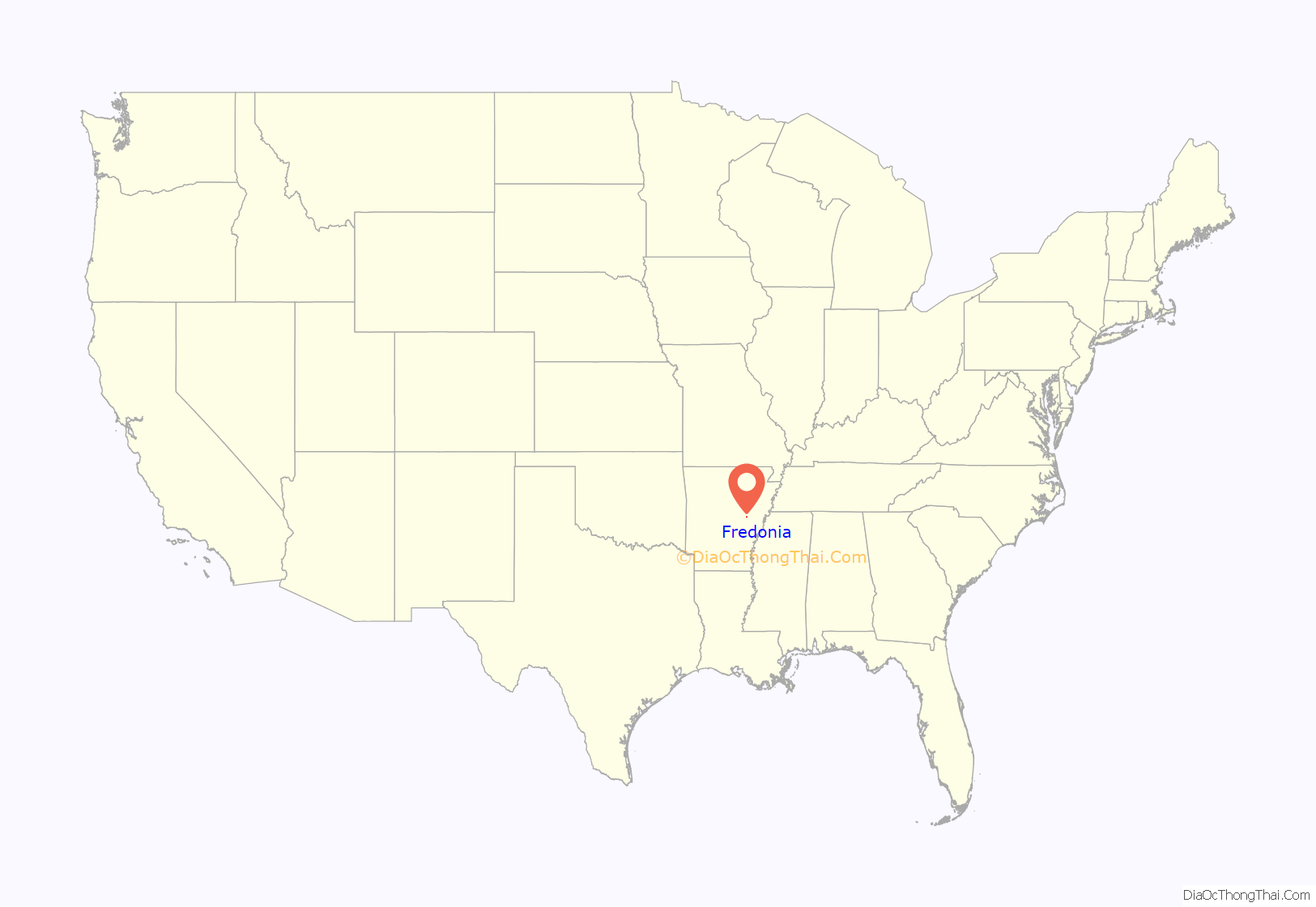
Fredonia location map. Where is Fredonia (Biscoe) town?
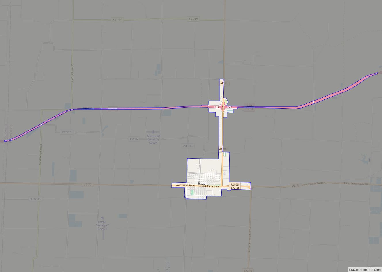
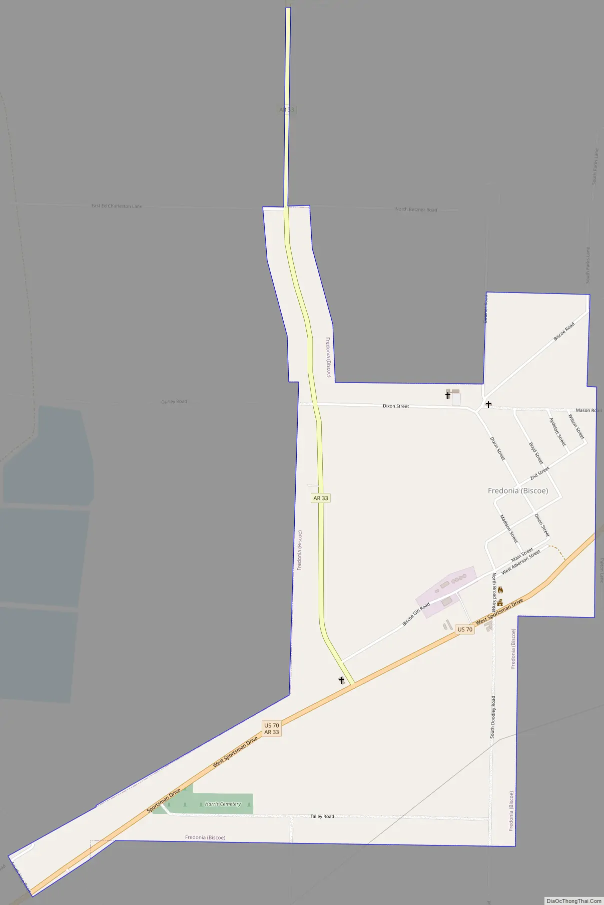
Fredonia Road Map
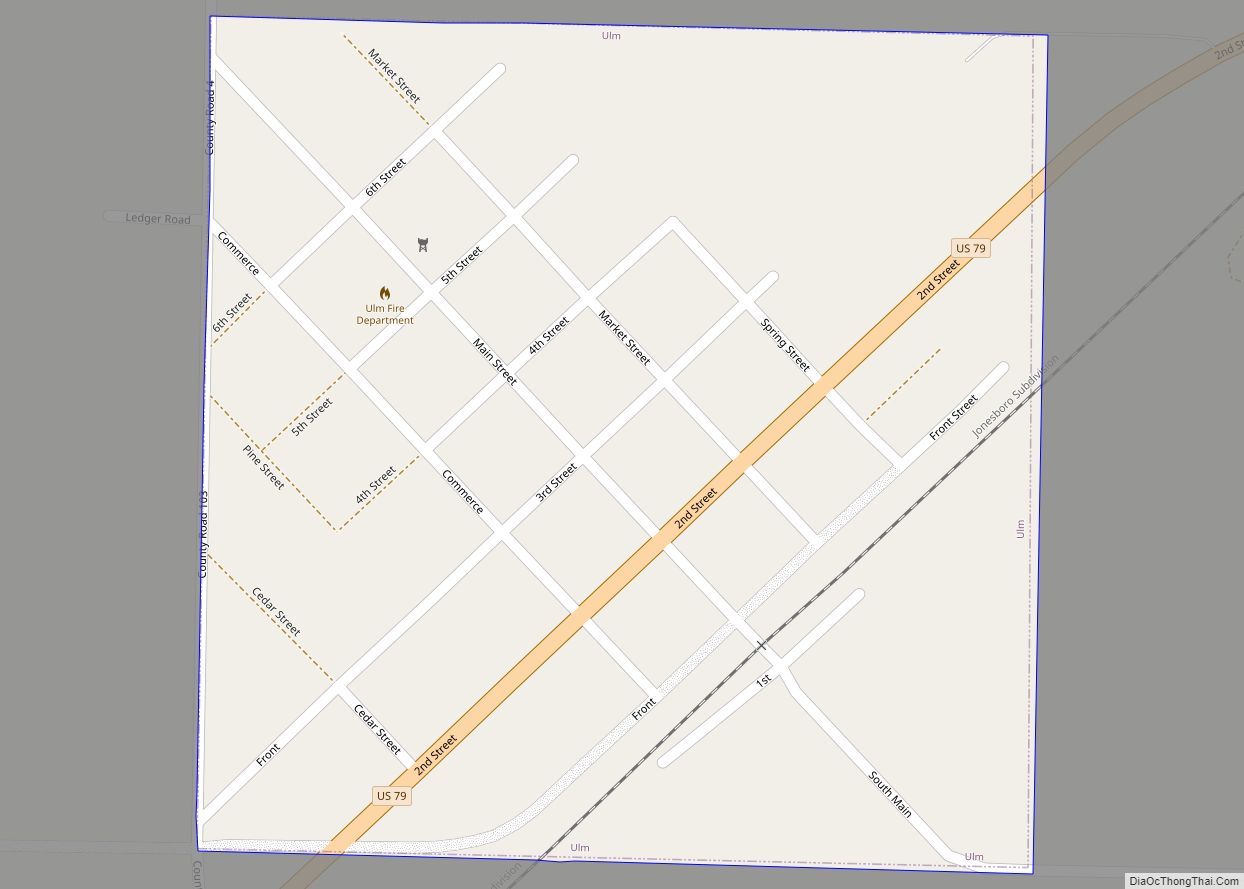
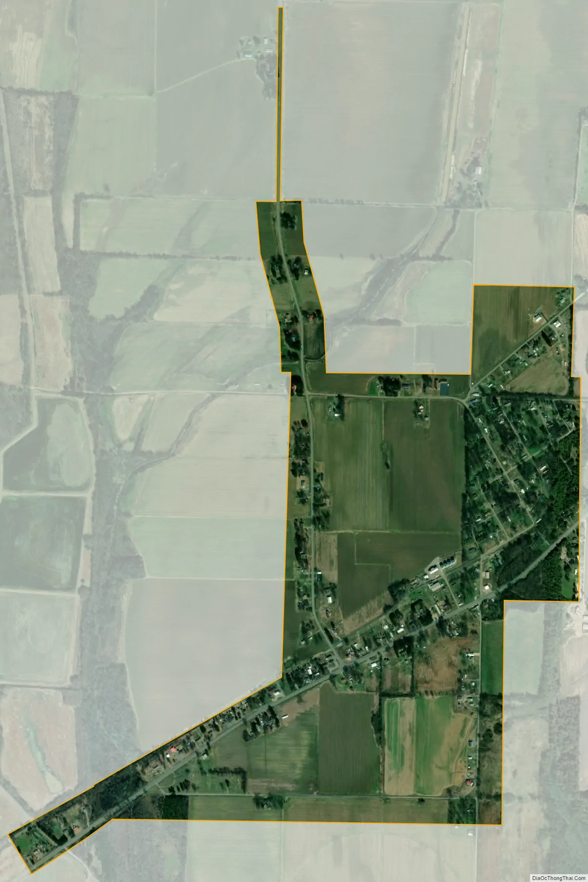
Fredonia city Satellite Map
Geography
Fredonia (Biscoe) is located at 34°49′18″N 91°24′33″W / 34.82167°N 91.40917°W / 34.82167; -91.40917 (34.821777, -91.409205).
According to the United States Census Bureau, the town has a total area of 2.4 km (0.9 mi), all land.
See also
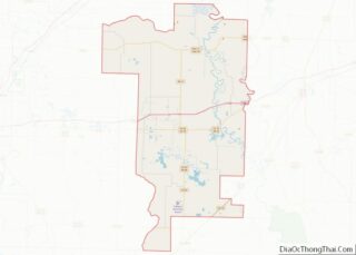
Map of Arkansas State and its subdivision:- Arkansas
- Ashley
- Baxter
- Benton
- Boone
- Bradley
- Calhoun
- Carroll
- Chicot
- Clark
- Clay
- Cleburne
- Cleveland
- Columbia
- Conway
- Craighead
- Crawford
- Crittenden
- Cross
- Dallas
- Desha
- Drew
- Faulkner
- Franklin
- Fulton
- Garland
- Grant
- Greene
- Hempstead
- Hot Spring
- Howard
- Independence
- Izard
- Jackson
- Jefferson
- Johnson
- Lafayette
- Lawrence
- Lee
- Lincoln
- Little River
- Logan
- Lonoke
- Madison
- Marion
- Miller
- Mississippi
- Monroe
- Montgomery
- Nevada
- Newton
- Ouachita
- Perry
- Phillips
- Pike
- Poinsett
- Polk
- Pope
- Prairie
- Pulaski
- Randolph
- Saint Francis
- Saline
- Scott
- Searcy
- Sebastian
- Sevier
- Sharp
- Stone
- Union
- Van Buren
- Washington
- White
- Woodruff
- Yell
- Alabama
- Alaska
- Arizona
- Arkansas
- California
- Colorado
- Connecticut
- Delaware
- District of Columbia
- Florida
- Georgia
- Hawaii
- Idaho
- Illinois
- Indiana
- Iowa
- Kansas
- Kentucky
- Louisiana
- Maine
- Maryland
- Massachusetts
- Michigan
- Minnesota
- Mississippi
- Missouri
- Montana
- Nebraska
- Nevada
- New Hampshire
- New Jersey
- New Mexico
- New York
- North Carolina
- North Dakota
- Ohio
- Oklahoma
- Oregon
- Pennsylvania
- Rhode Island
- South Carolina
- South Dakota
- Tennessee
- Texas
- Utah
- Vermont
- Virginia
- Washington
- West Virginia
- Wisconsin
- Wyoming