Forrest City is a city in St. Francis County, Arkansas, United States, and the county seat. It was named for General Nathan Bedford Forrest, a notable Confederate military leader. Shortly after the end of the Civil War, he had a construction crew camped here, who were completing a railroad between Memphis and Little Rock.
The population was 15,371 at the 2010 census, an increase from 14,774 in 2000. The city identifies as the “Jewel of the Delta”.
| Name: | Forrest City city |
|---|---|
| LSAD Code: | 25 |
| LSAD Description: | city (suffix) |
| State: | Arkansas |
| County: | St. Francis County |
| Elevation: | 256 ft (78 m) |
| Total Area: | 20.31 sq mi (52.60 km²) |
| Land Area: | 20.25 sq mi (52.43 km²) |
| Water Area: | 0.07 sq mi (0.17 km²) |
| Total Population: | 13,015 |
| Population Density: | 642.87/sq mi (248.22/km²) |
| ZIP code: | 72335 |
| FIPS code: | 0524430 |
| GNISfeature ID: | 0083152 |
| Website: | www.cityofforrestcityar.com |
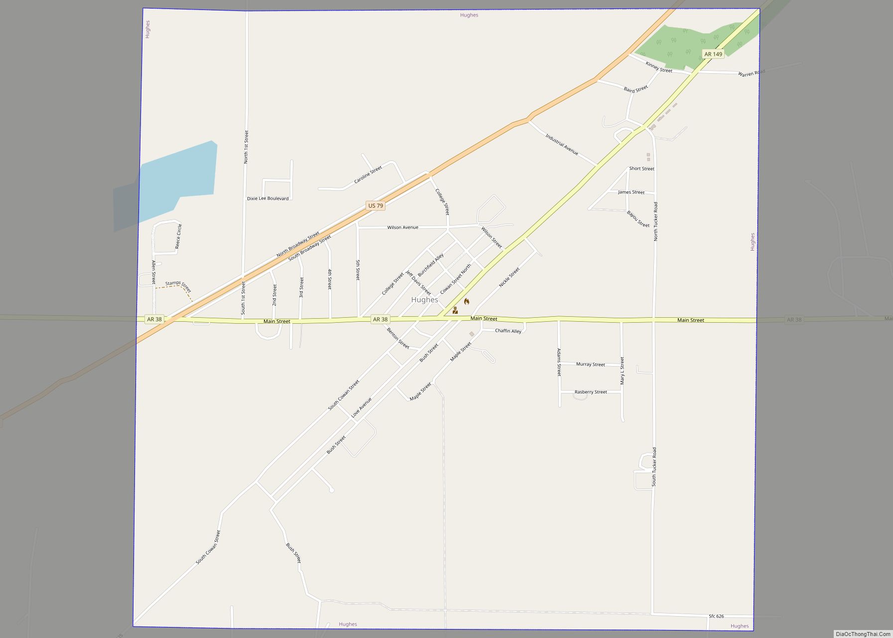
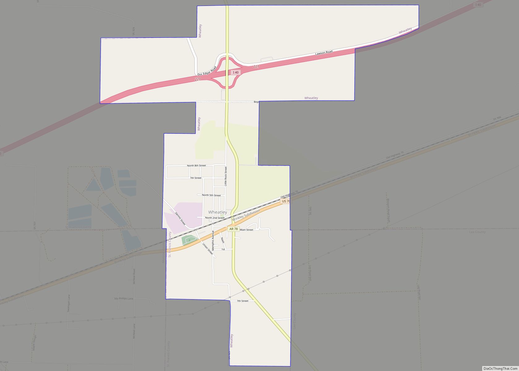
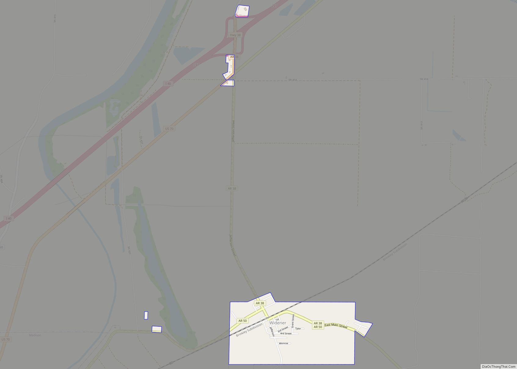
Online Interactive Map
Click on ![]() to view map in "full screen" mode.
to view map in "full screen" mode.
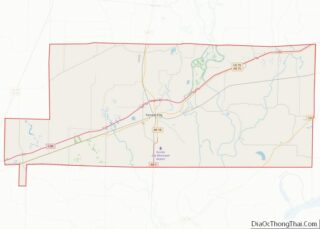
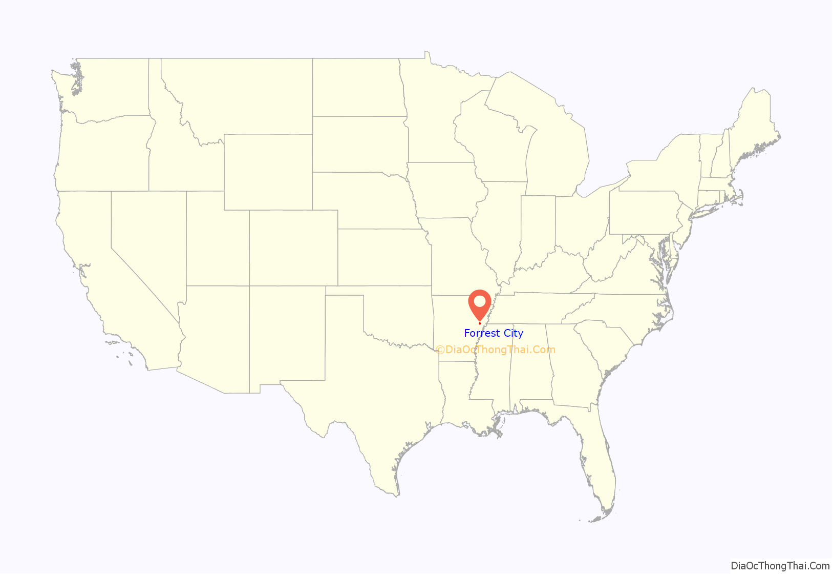
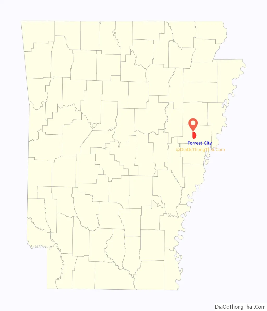
Forrest City location map. Where is Forrest City city?
History
On October 13, 1827, St. Francis County, located in the east central part of Arkansas, was officially organized by the Arkansas Territorial Legislature in Little Rock. Nathan Bedford Forrest, a notable Confederate General and first Grand Wizard of the Ku Klux Klan, became interested in the area around Crowley’s Ridge during the Civil War.
In 1866 General Forrest and C. C. McCreanor contracted to finish the Memphis & Little Rock Railroad from Madison located on the St. Francis River to DeValls Bluff on the west bank of the White River. The route traversed the challenging Crowley’s Ridge and L’Anguille River bottoms. The first trains came through in 1868.
General Forrest later built a commissary on Front Street. Colonel V.B. Izard began the task of designing the town at the same time. Most residents were calling the area “Forrest’s Town,” later to be known as Forrest City, incorporated May 11, 1870.
The county seat was initially located in the now defunct town of Franklin until 1840, when it was moved to Madison. In 1855 it was moved to Mount Vernon, where the court house burned in 1856 destroying county records. This prompted a move back to Madison.
The county seat was moved to Forrest City in 1874, where the courthouse was assigned to a wooden structure. When it burned shortly thereafter, county records were again destroyed. In 1889, the city was the site of a white race riot that resulted in their expulsion of African American leaders.
In 1940, Forrest City was a stop for the Choctaw Rocket, a passenger train operated by the Chicago, Rock Island and Pacific Railroad. Service was discontinued in 1964.
Evidence that giant mastodons roamed the slope was revealed in 1949 when workmen excavating for sewer improvements found bones of the massive beasts within the city limits.
Forrest City High School held its first integrated prom in 1988. After school integration was ordered in the mid-1960s, Forrest City eliminated school-sponsored dances and social activities. For 23 years, social clubs and individual families had organized a racially segregated prom.
Despite being named after Nathan Bedford Forrest, Forrest City already had a third African American mayor, current Mayor Cedric Williams, in 2018.
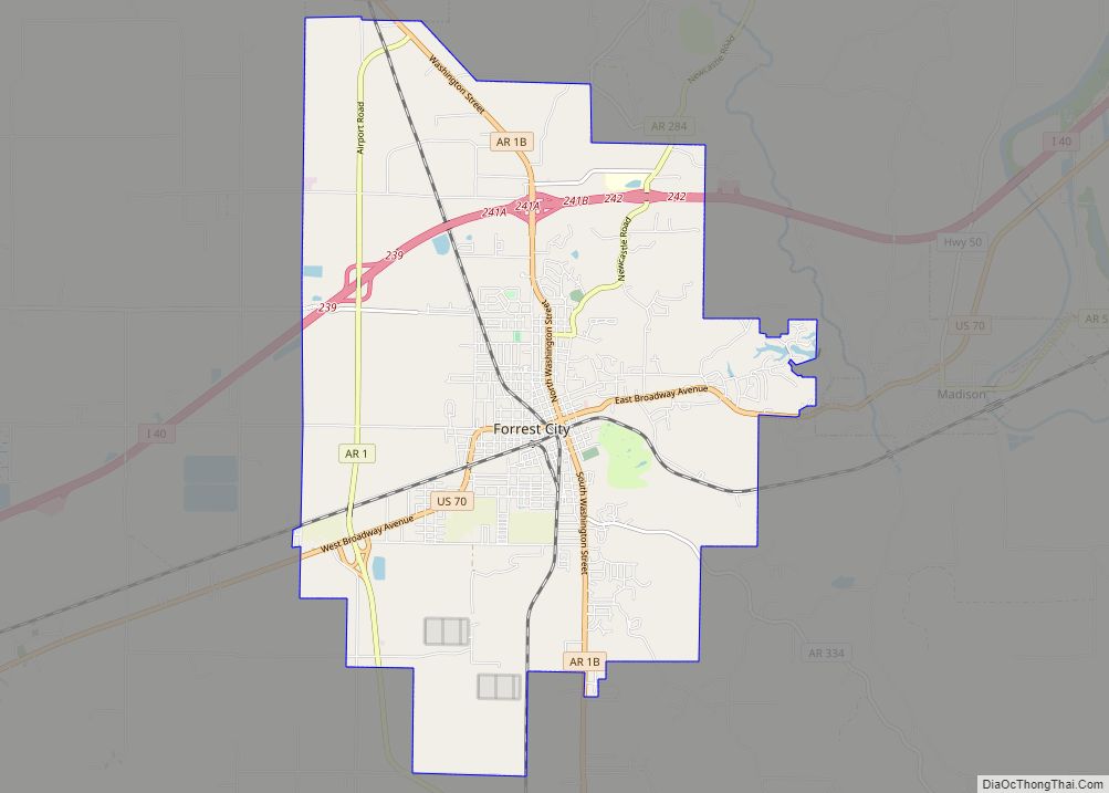
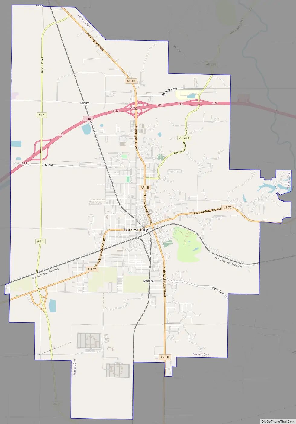
Forrest City Road Map
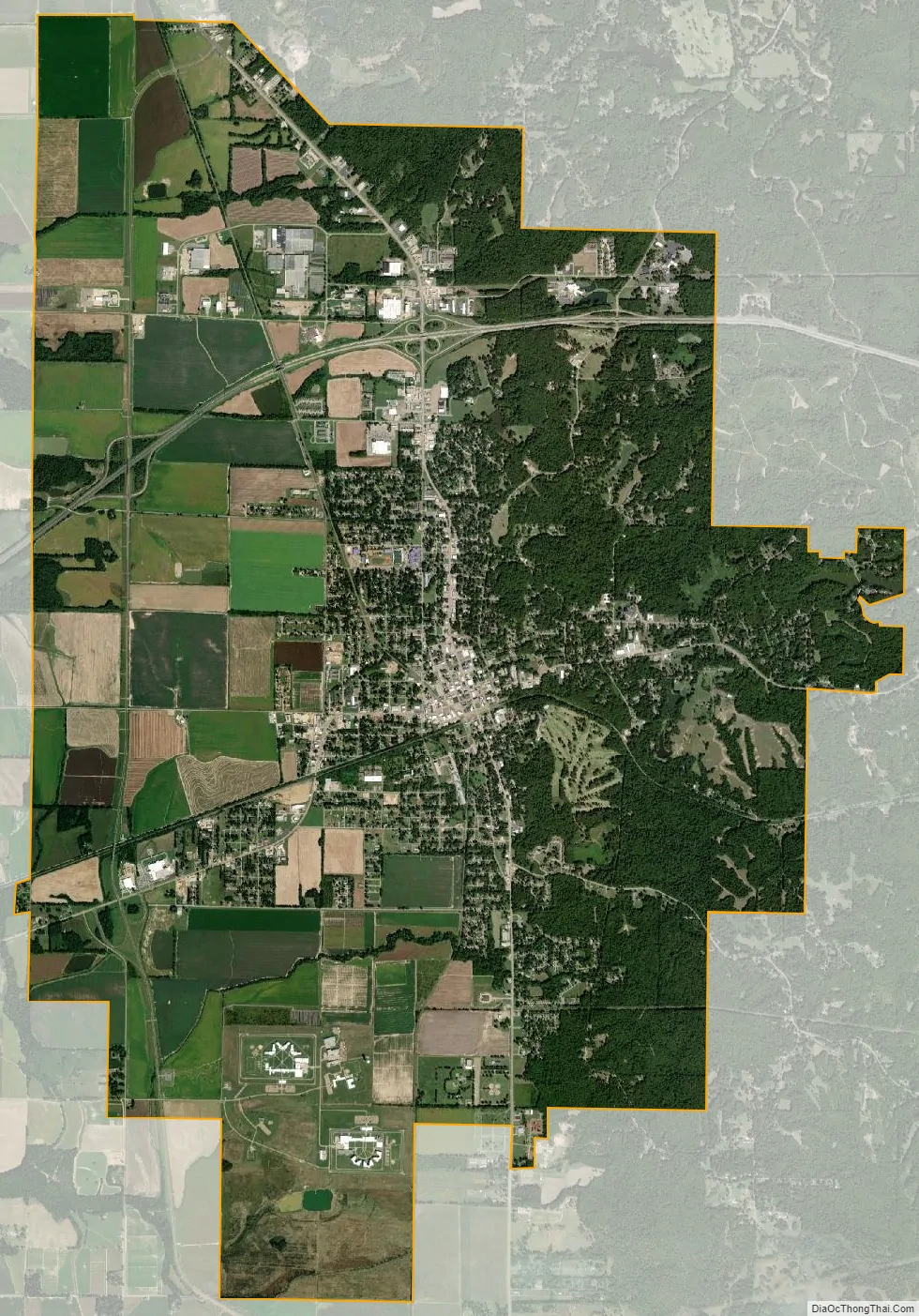
Forrest City city Satellite Map
Geography
Forrest City is located at 35°0′36″N 90°47′19″W / 35.01000°N 90.78861°W / 35.01000; -90.78861 (35.010131, -90.788716). Technically Forrest City is in northeast Arkansas using standard navigational methods.. According to the United States Census Bureau, the city has a total area of 16.3 square miles (42 km), of which 16.2 square miles (42 km) is land and 0.1 square miles (0.26 km) (0.37%) is water.
Forrest City is located on Crowley’s Ridge, a geological phenomenon that rises above the flat Mississippi Delta terrain that surrounds it. This north-south running highland is some three miles wide and 300 feet above sea level. Several species of trees not indigenous to Arkansas are found here, including beech, butternut, sugar maple, and cucumber trees.
See also
Map of Arkansas State and its subdivision:- Arkansas
- Ashley
- Baxter
- Benton
- Boone
- Bradley
- Calhoun
- Carroll
- Chicot
- Clark
- Clay
- Cleburne
- Cleveland
- Columbia
- Conway
- Craighead
- Crawford
- Crittenden
- Cross
- Dallas
- Desha
- Drew
- Faulkner
- Franklin
- Fulton
- Garland
- Grant
- Greene
- Hempstead
- Hot Spring
- Howard
- Independence
- Izard
- Jackson
- Jefferson
- Johnson
- Lafayette
- Lawrence
- Lee
- Lincoln
- Little River
- Logan
- Lonoke
- Madison
- Marion
- Miller
- Mississippi
- Monroe
- Montgomery
- Nevada
- Newton
- Ouachita
- Perry
- Phillips
- Pike
- Poinsett
- Polk
- Pope
- Prairie
- Pulaski
- Randolph
- Saint Francis
- Saline
- Scott
- Searcy
- Sebastian
- Sevier
- Sharp
- Stone
- Union
- Van Buren
- Washington
- White
- Woodruff
- Yell
- Alabama
- Alaska
- Arizona
- Arkansas
- California
- Colorado
- Connecticut
- Delaware
- District of Columbia
- Florida
- Georgia
- Hawaii
- Idaho
- Illinois
- Indiana
- Iowa
- Kansas
- Kentucky
- Louisiana
- Maine
- Maryland
- Massachusetts
- Michigan
- Minnesota
- Mississippi
- Missouri
- Montana
- Nebraska
- Nevada
- New Hampshire
- New Jersey
- New Mexico
- New York
- North Carolina
- North Dakota
- Ohio
- Oklahoma
- Oregon
- Pennsylvania
- Rhode Island
- South Carolina
- South Dakota
- Tennessee
- Texas
- Utah
- Vermont
- Virginia
- Washington
- West Virginia
- Wisconsin
- Wyoming