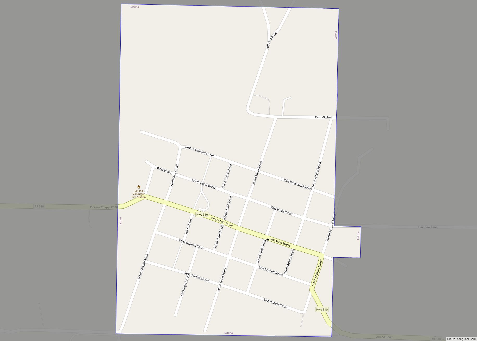
Letona is a town in White County, Arkansas, United States. Sherrel Bennett is the current mayor. The population was 201 at the 2000 census. Letona town overview: Name: Letona town LSAD Code: 43 LSAD Description: town (suffix) State: Arkansas County: White County Elevation: 285 ft (87 m) Total Area: 0.39 sq mi (1.01 km²) Land Area: 0.39 sq mi (1.01 km²) Water Area: ... Read more
Arkansas Cities and Places
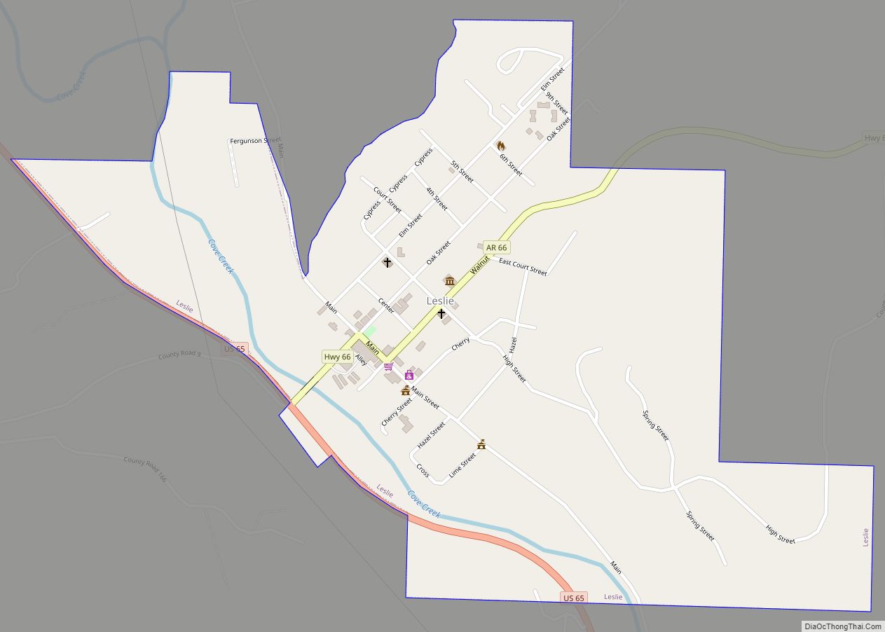
Leslie is a city in Searcy County, Arkansas, United States. Located within the Boston Mountains, the most rugged subset of The Ozarks, the city was founded as a railroad and lumber town. Renamed from the original Wiley’s Cove in 1887, the city saw prosperity relating to these industries through the 1920s. Today, this history is ... Read more
Lincoln is a city in Washington County, Arkansas, United States. The population was 2,294 at the 2020 census. It is part of the Northwest Arkansas metro area. Lincoln city overview: Name: Lincoln city LSAD Code: 25 LSAD Description: city (suffix) State: Arkansas County: Washington County Elevation: 1,453 ft (443 m) Land Area: 2.87 sq mi (7.42 km²) Water Area: 0.03 sq mi ... Read more
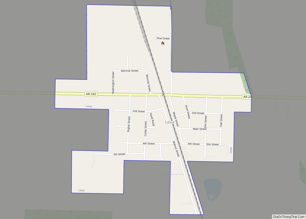
Lexa is a town in northern Phillips County, Arkansas, United States. The population was 286 at the 2010 census. Lexa town overview: Name: Lexa town LSAD Code: 43 LSAD Description: town (suffix) State: Arkansas County: Phillips County Elevation: 213 ft (65 m) Total Area: 0.41 sq mi (1.06 km²) Land Area: 0.41 sq mi (1.06 km²) Water Area: 0.00 sq mi (0.00 km²) Total Population: 207 ... Read more
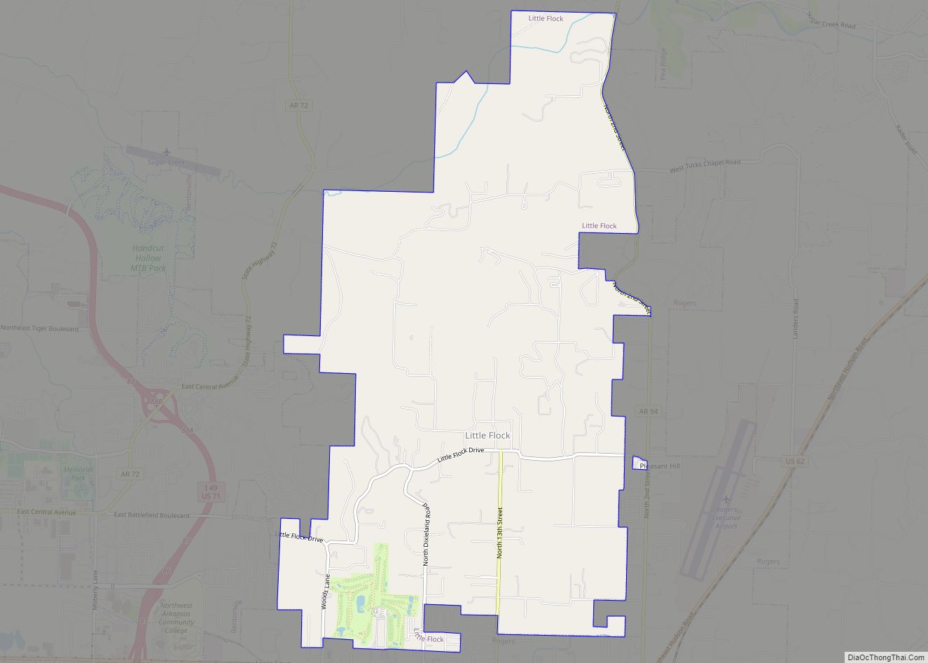
Little Flock is a city in Benton County, Arkansas, United States. The population was 3,055 at the 2020 census. It is part of the Northwest Arkansas region. Little Flock city overview: Name: Little Flock city LSAD Code: 25 LSAD Description: city (suffix) State: Arkansas County: Benton County Elevation: 1,197 ft (365 m) Total Area: 7.51 sq mi (19.46 km²) Land ... Read more
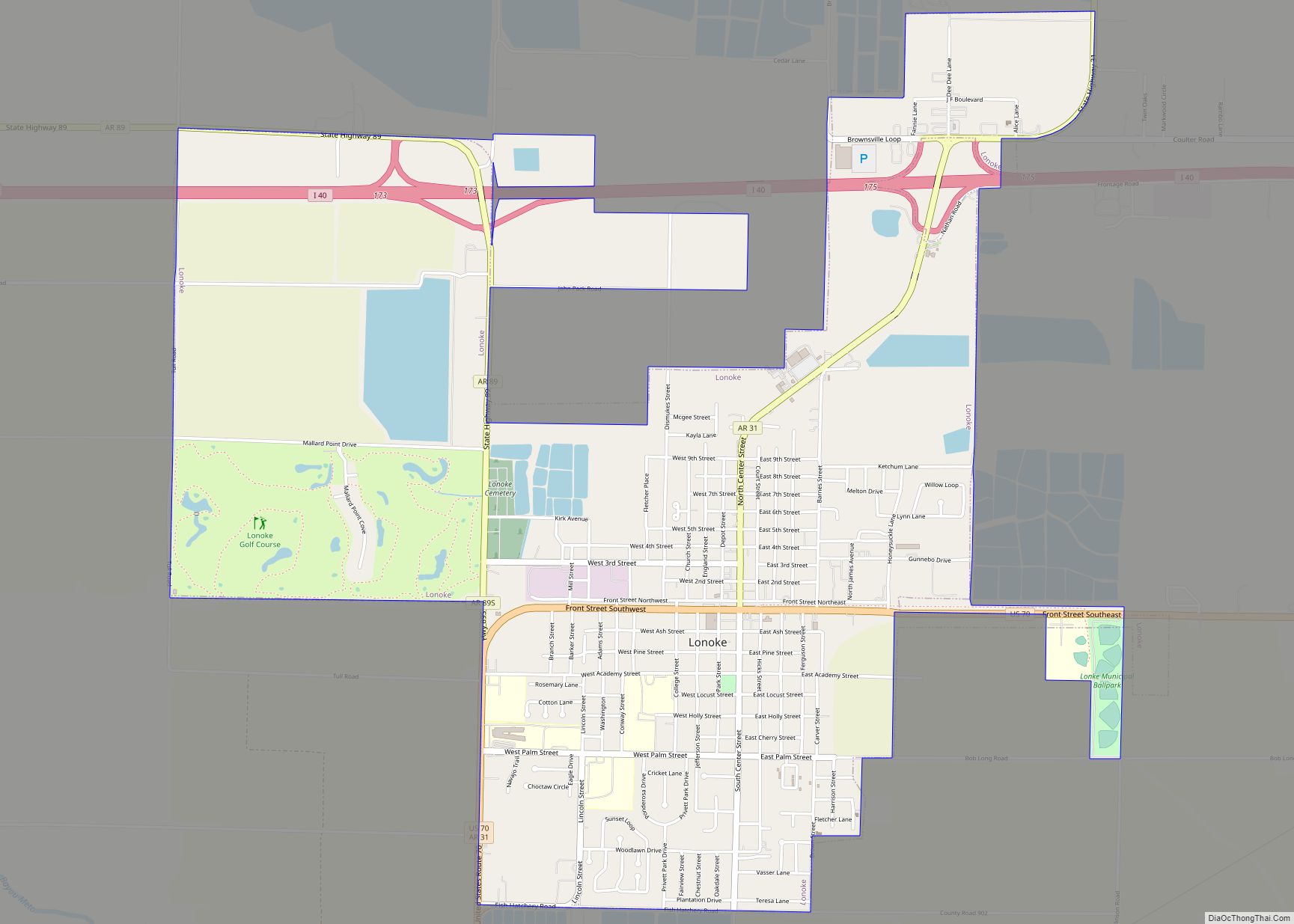
Lonoke (/ˈloʊnoʊk/) is the second most populous city in Lonoke County, Arkansas, United States, and serves as its county seat. According to 2010 United States Census, the population of the city is 4,245. It is part of the Little Rock–North Little Rock–Conway Metropolitan Statistical Area. Lonoke city overview: Name: Lonoke city LSAD Code: 25 LSAD ... Read more
London is a city in Pope County, Arkansas, United States. The population was 1,039 at the 2010 census. It is part of the Russellville Micropolitan Statistical Area. London city overview: Name: London city LSAD Code: 25 LSAD Description: city (suffix) State: Arkansas County: Pope County Elevation: 377 ft (115 m) Total Area: 3.18 sq mi (8.24 km²) Land Area: 3.17 sq mi ... Read more
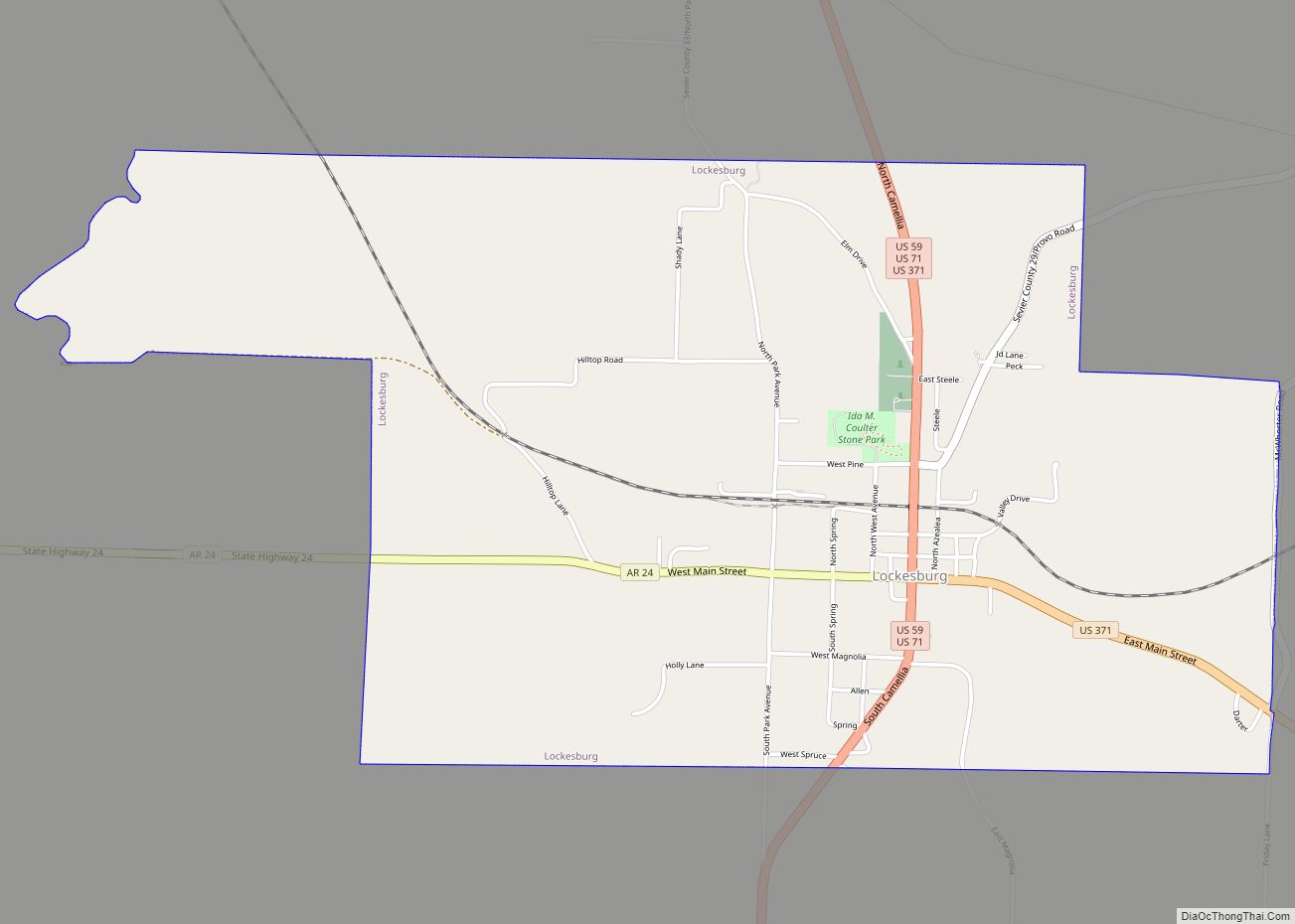
Lockesburg is a city in Sevier County, Arkansas, United States. The population was 739 at the 2010 census. Lockesburg city overview: Name: Lockesburg city LSAD Code: 25 LSAD Description: city (suffix) State: Arkansas County: Sevier County Elevation: 400 ft (100 m) Total Area: 3.49 sq mi (9.03 km²) Land Area: 3.48 sq mi (9.02 km²) Water Area: 0.00 sq mi (0.01 km²) Total Population: 594 Population ... Read more
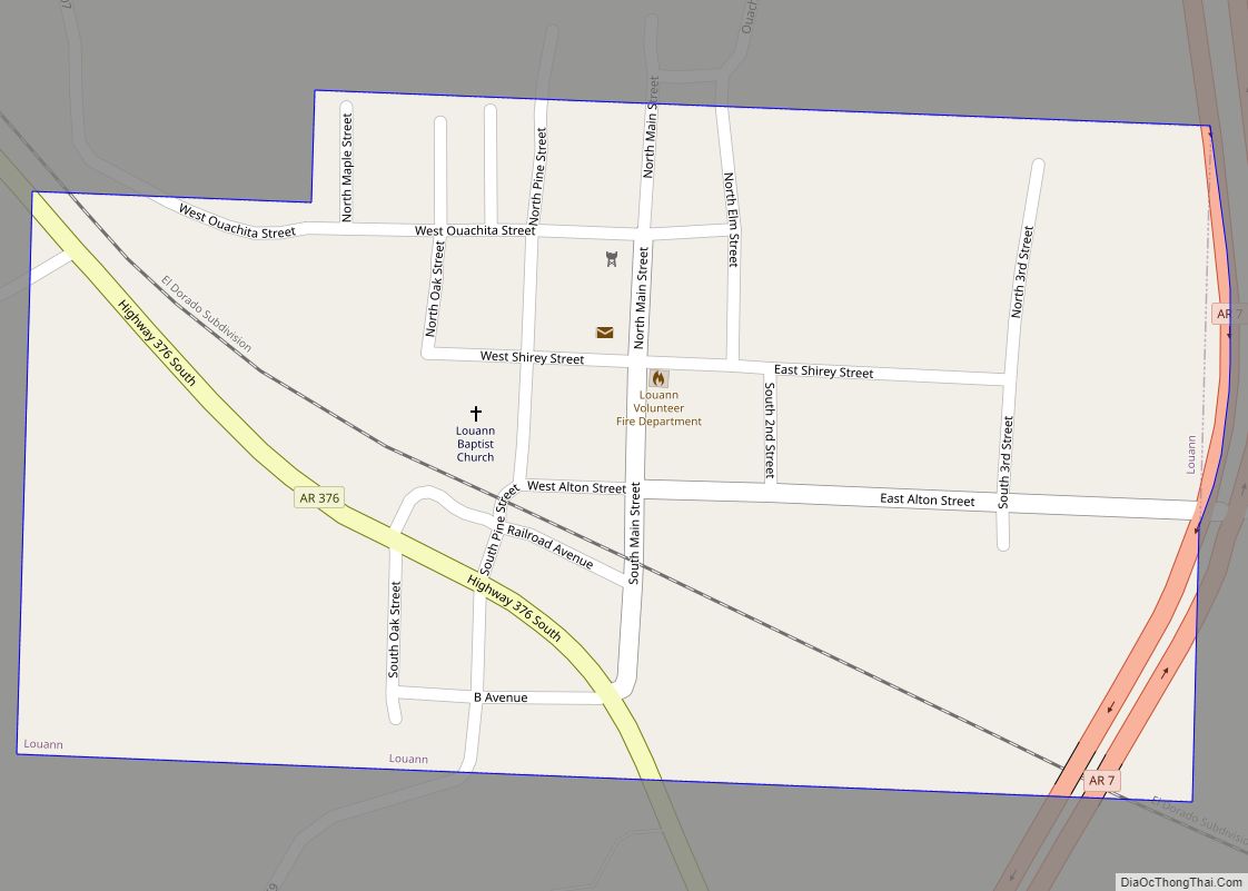
Louann is a town in Ouachita County, Arkansas, United States. The population was 195 at the 2000 census, which fell to 164 in the 2010 census. It is part of the Camden Micropolitan Statistical Area. Louann town overview: Name: Louann town LSAD Code: 43 LSAD Description: town (suffix) State: Arkansas County: Ouachita County Elevation: 135 ft ... Read more
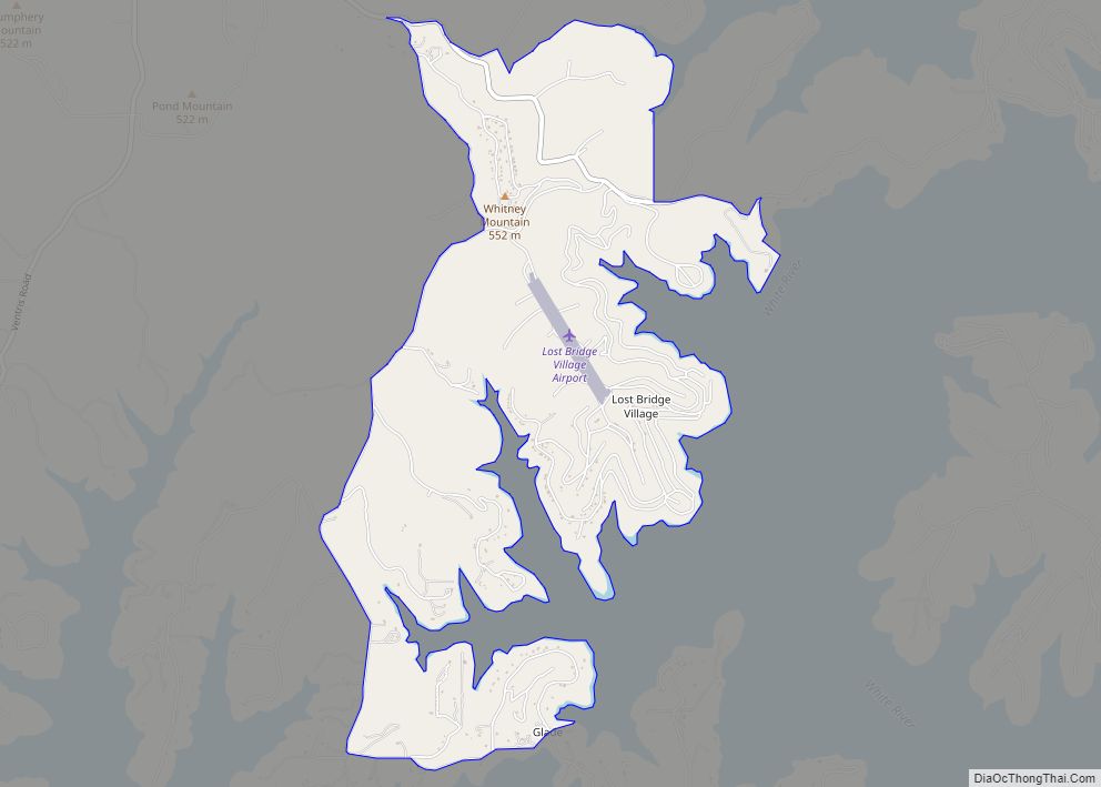
Lost Bridge Village is a census-designated place in Benton County, Arkansas, United States. Per the 2020 census, the population was 397. It is located in the Northwest Arkansas region. Lost Bridge Village CDP overview: Name: Lost Bridge Village CDP LSAD Code: 57 LSAD Description: CDP (suffix) State: Arkansas County: Benton County Elevation: 1,230 ft (370 m) Total ... Read more
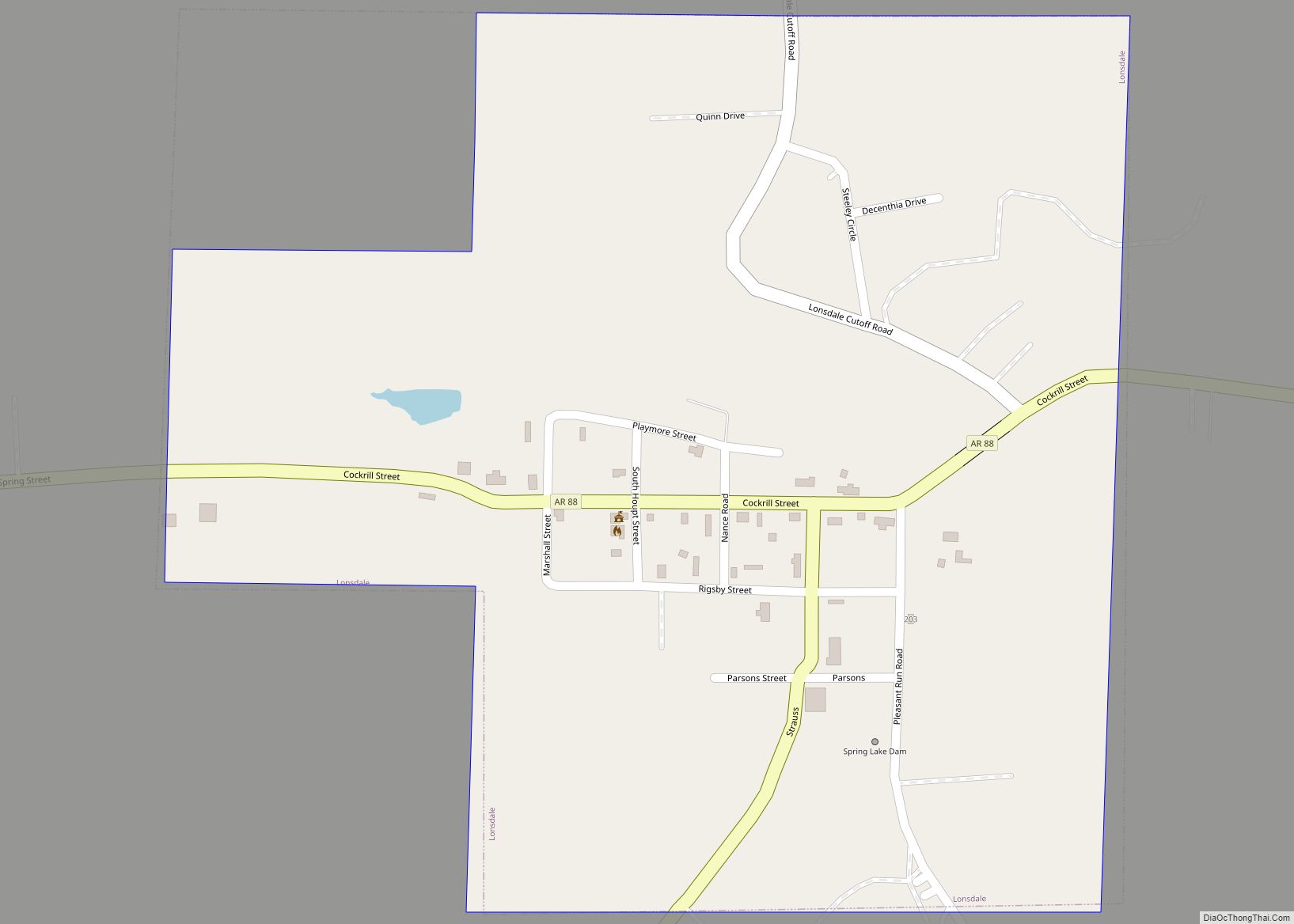
Lonsdale is a town in Garland County, Arkansas, United States. It is part of the Hot Springs Metropolitan Statistical Area. The population was 94 at the 2010 census, down from 118 in 2000. Lonsdale town overview: Name: Lonsdale town LSAD Code: 43 LSAD Description: town (suffix) State: Arkansas County: Garland County Elevation: 427 ft (130 m) Total ... Read more
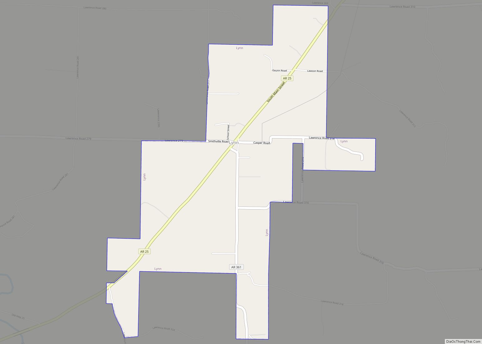
Lynn is a town in Lawrence County, Arkansas, United States. The population was 288 at the 2010 census. Lynn town overview: Name: Lynn town LSAD Code: 43 LSAD Description: town (suffix) State: Arkansas County: Lawrence County Elevation: 358 ft (109 m) Total Area: 2.31 sq mi (5.99 km²) Land Area: 2.31 sq mi (5.99 km²) Water Area: 0.00 sq mi (0.00 km²) Total Population: 258 Population ... Read more
