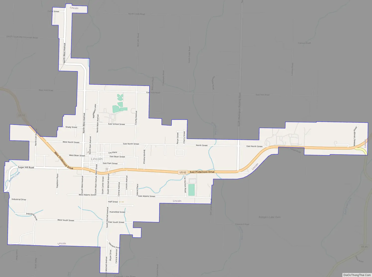
Lincoln is a city in Washington County, Arkansas, United States. The population was 2,294 at the 2020 census. It is part of the Northwest Arkansas metro area.
| Name: | Lincoln city |
|---|---|
| LSAD Code: | 25 |
| LSAD Description: | city (suffix) |
| State: | Arkansas |
| County: | Washington County |
| Elevation: | 1,453 ft (443 m) |
| Land Area: | 2.87 sq mi (7.42 km²) |
| Water Area: | 0.03 sq mi (0.07 km²) |
| Population Density: | 800.42/sq mi (309.05/km²) |
| ZIP code: | 72744 |
| Area code: | 479 |
| FIPS code: | 0539970 |
| GNISfeature ID: | 2404930 |
| Website: | www.lincolnarkansas.com |
Online Interactive Map
Click on ![]() to view map in "full screen" mode.
to view map in "full screen" mode.
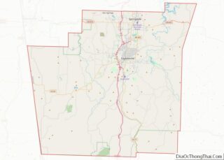
Lincoln location map. Where is Lincoln city?


History
Establishment
The area around Lincoln first saw white settlement in the late 1820s. It was first known as Blackjack after the blackjack oaks used to build the first schoolhouse. Joseph Carter built the first store in the area in 1874, still known as Blackjack. A nearby community on Beaty Mountain known as Mt. Hayes was settled in 1877. Starr Hill Township was also organized in the area during this period. The settlements drifted together and continued to grow until applying for a post office in 1884 within Carter’s store under the name Georgetown. The name was rejected; the postal service not wanting to duplicate Georgetown in White County, Arkansas (or Georgetown, Madison County, Arkansas). Carter submitted Lincoln as the new name. He said he chose the name seemingly at random, having “seen it on a box”, but others were skeptical that Carter had wanted to name the community for Abraham Lincoln all along, as he was a “Republican from the North”. Local acceptance for the name Lincoln was slow during the Reconstruction era following the bitter Civil War.
The settlement remained unincorporated until the St. Louis–San Francisco Railway (commonly called the Frisco) planned a branch line (the Ozark and Cherokee Central Railway [O&CC]) between Fayetteville and Oklahoma. The right-of-way acquisition process brought a railroad agent through town, and he platted a town on 22 acres (8.9 ha) south of the proposed railroad in 1903, but modified the plat in 1907. Following this plat, the city of Lincoln was incorporated on November 23, 1907.
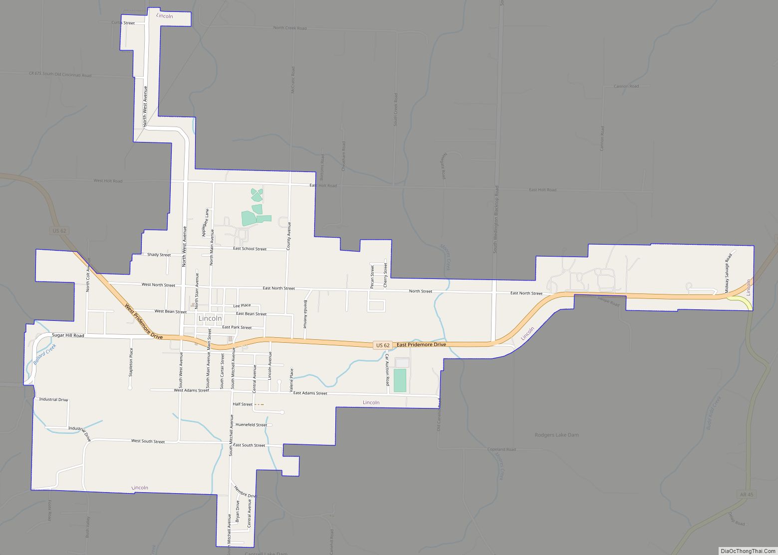
Lincoln Road Map
Lincoln city Satellite Map

Geography
According to the United States Census Bureau, the city has a total area of 2.87 square miles (7.4 km).
Lincoln is about 25 miles southwest of Fayetteville and approximately eight miles east of the Arkansas-Oklahoma border.
Protected areas
Lincoln Lake, a few miles north of the city, is a 400-acre (160 ha) park surrounding the 90-acre (36 ha) municipally-owned lake formerly used for water supply. The park offers 8 miles (13 km) of hiking and mountain biking trails, fishing, and non-motorized boating.
Region
The Northwest Arkansas region consists of three Arkansas counties: Benton, Madison, and Washington. The area had a population of 347,045 at the 2000 census which had increased to 463,204 by the 2010 Census (an increase of 33.47 percent). The region does not consist of the usual principal-city-with-suburbs morphology. The principal cities retain individual identities, but have grown together along Interstate 49 (I-49). For more than the last decade, Northwest Arkansas has been one of the fastest-growing regions in the United States.
See also
Map of Arkansas State and its subdivision:- Arkansas
- Ashley
- Baxter
- Benton
- Boone
- Bradley
- Calhoun
- Carroll
- Chicot
- Clark
- Clay
- Cleburne
- Cleveland
- Columbia
- Conway
- Craighead
- Crawford
- Crittenden
- Cross
- Dallas
- Desha
- Drew
- Faulkner
- Franklin
- Fulton
- Garland
- Grant
- Greene
- Hempstead
- Hot Spring
- Howard
- Independence
- Izard
- Jackson
- Jefferson
- Johnson
- Lafayette
- Lawrence
- Lee
- Lincoln
- Little River
- Logan
- Lonoke
- Madison
- Marion
- Miller
- Mississippi
- Monroe
- Montgomery
- Nevada
- Newton
- Ouachita
- Perry
- Phillips
- Pike
- Poinsett
- Polk
- Pope
- Prairie
- Pulaski
- Randolph
- Saint Francis
- Saline
- Scott
- Searcy
- Sebastian
- Sevier
- Sharp
- Stone
- Union
- Van Buren
- Washington
- White
- Woodruff
- Yell
- Alabama
- Alaska
- Arizona
- Arkansas
- California
- Colorado
- Connecticut
- Delaware
- District of Columbia
- Florida
- Georgia
- Hawaii
- Idaho
- Illinois
- Indiana
- Iowa
- Kansas
- Kentucky
- Louisiana
- Maine
- Maryland
- Massachusetts
- Michigan
- Minnesota
- Mississippi
- Missouri
- Montana
- Nebraska
- Nevada
- New Hampshire
- New Jersey
- New Mexico
- New York
- North Carolina
- North Dakota
- Ohio
- Oklahoma
- Oregon
- Pennsylvania
- Rhode Island
- South Carolina
- South Dakota
- Tennessee
- Texas
- Utah
- Vermont
- Virginia
- Washington
- West Virginia
- Wisconsin
- Wyoming