Lonoke (/ˈloʊnoʊk/) is the second most populous city in Lonoke County, Arkansas, United States, and serves as its county seat. According to 2010 United States Census, the population of the city is 4,245. It is part of the Little Rock–North Little Rock–Conway Metropolitan Statistical Area.
| Name: | Lonoke city |
|---|---|
| LSAD Code: | 25 |
| LSAD Description: | city (suffix) |
| State: | Arkansas |
| County: | Lonoke County |
| Incorporated: | January 22, 1872; 151 years ago (1872-01-22) |
| Elevation: | 243 ft (74 m) |
| Land Area: | 4.81 sq mi (12.45 km²) |
| Water Area: | 0.10 sq mi (0.25 km²) |
| Population Density: | 889.54/sq mi (343.45/km²) |
| ZIP code: | 72086 |
| Area code: | 501 |
| FIPS code: | 0541420 |
| GNISfeature ID: | 0077553 |
| Website: | cityoflonoke.com |
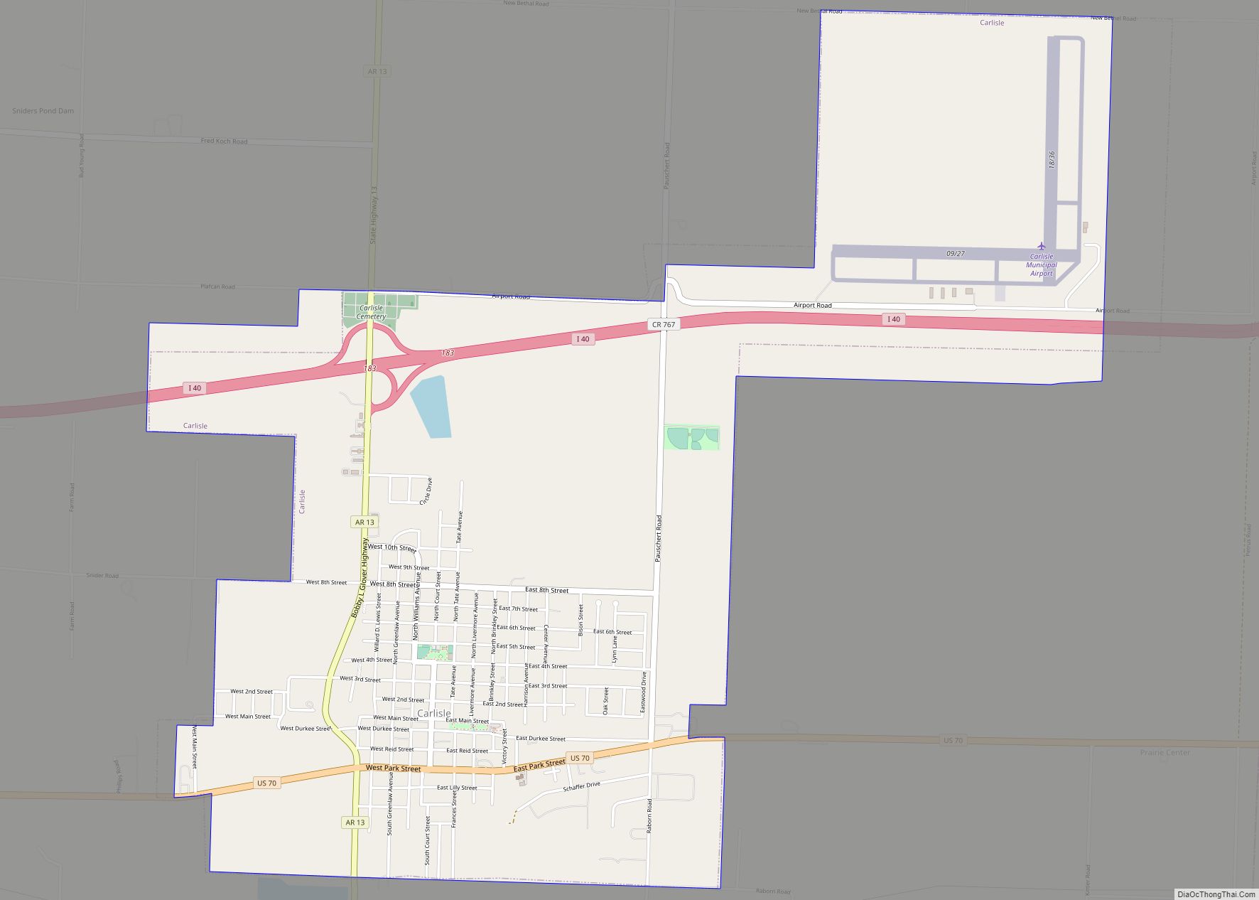
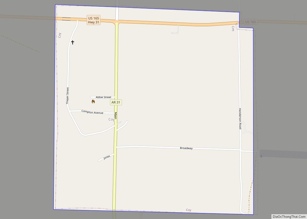
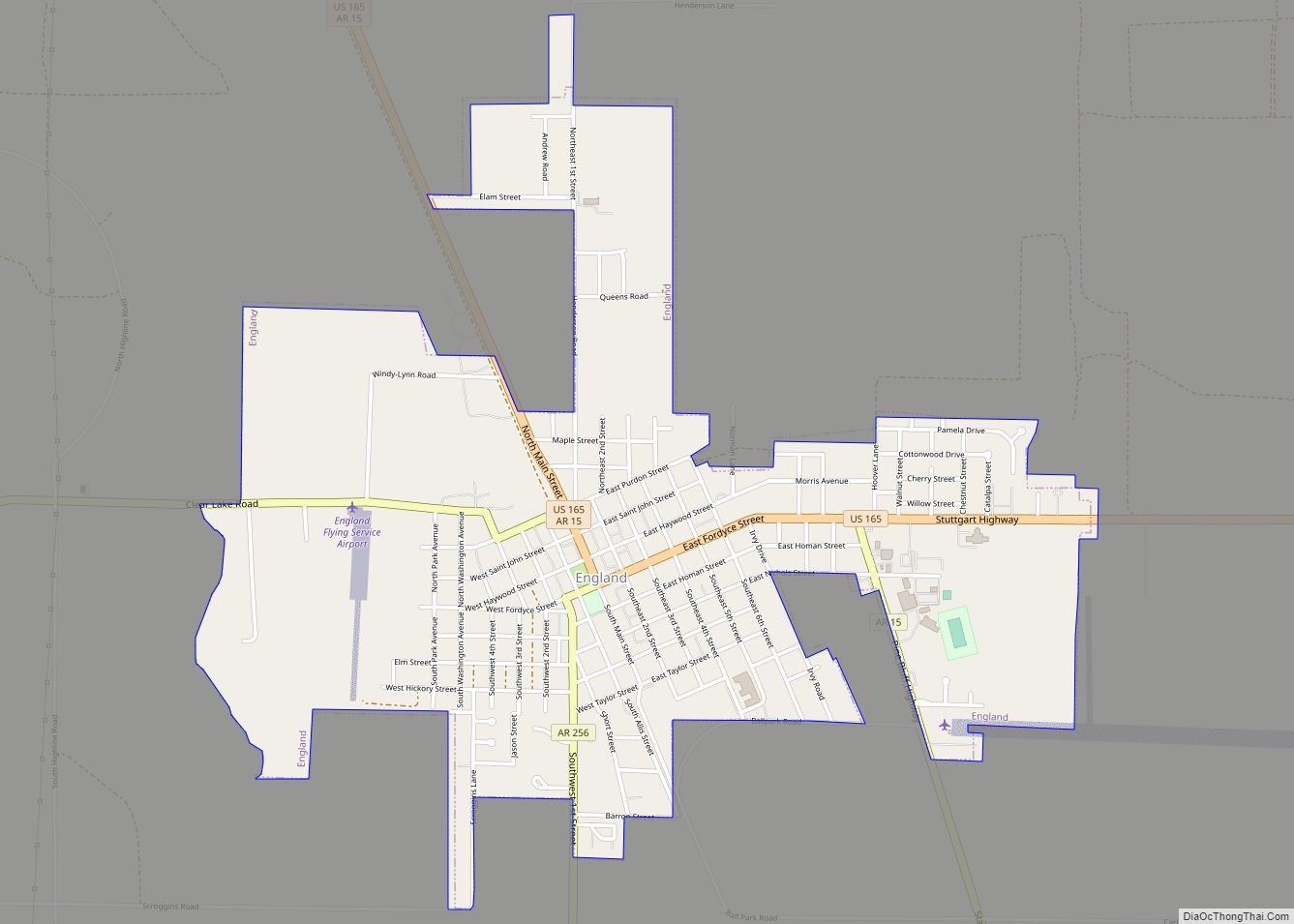
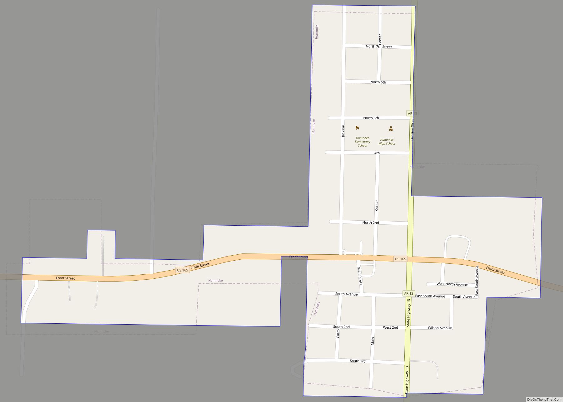
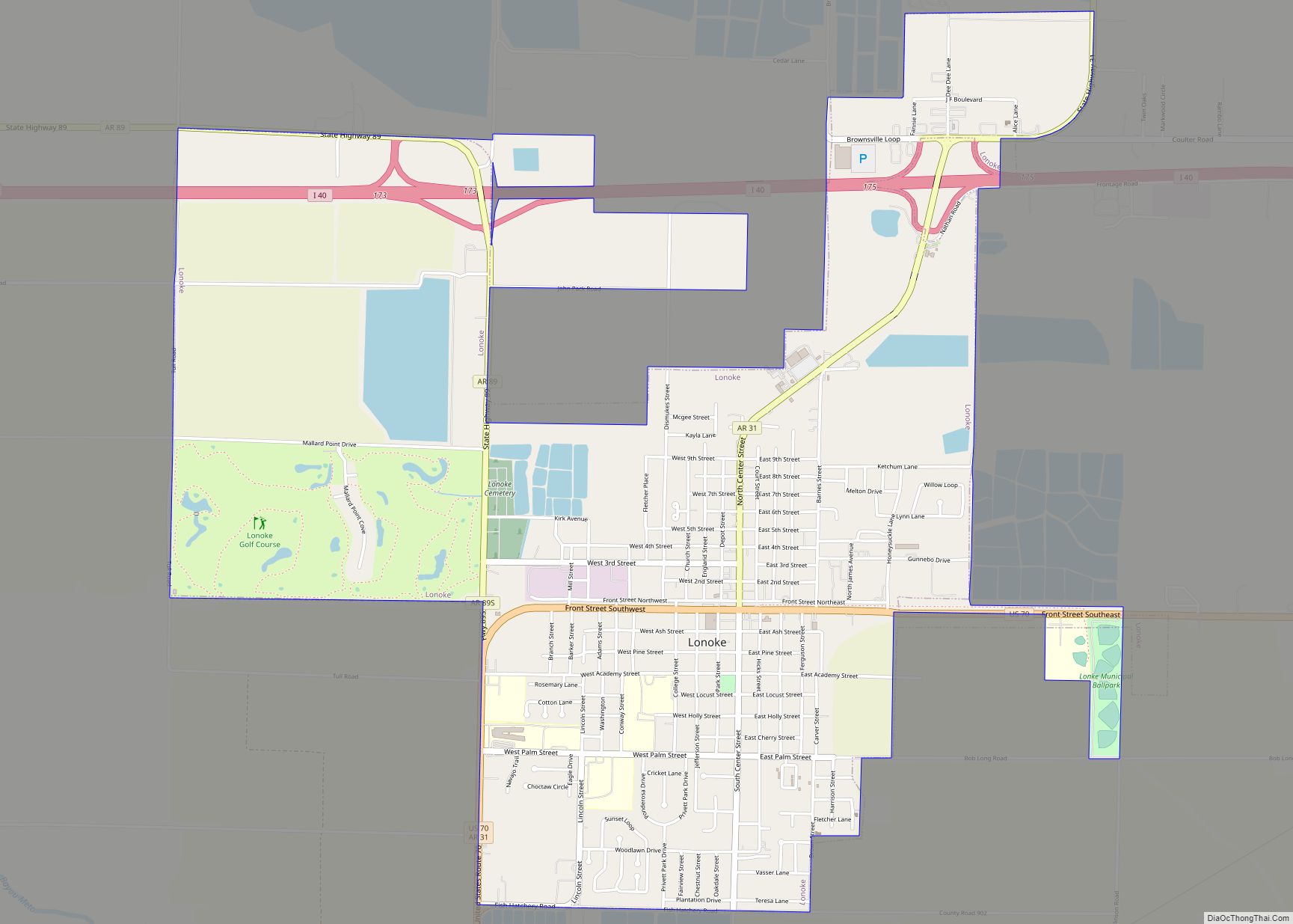
Online Interactive Map
Click on ![]() to view map in "full screen" mode.
to view map in "full screen" mode.
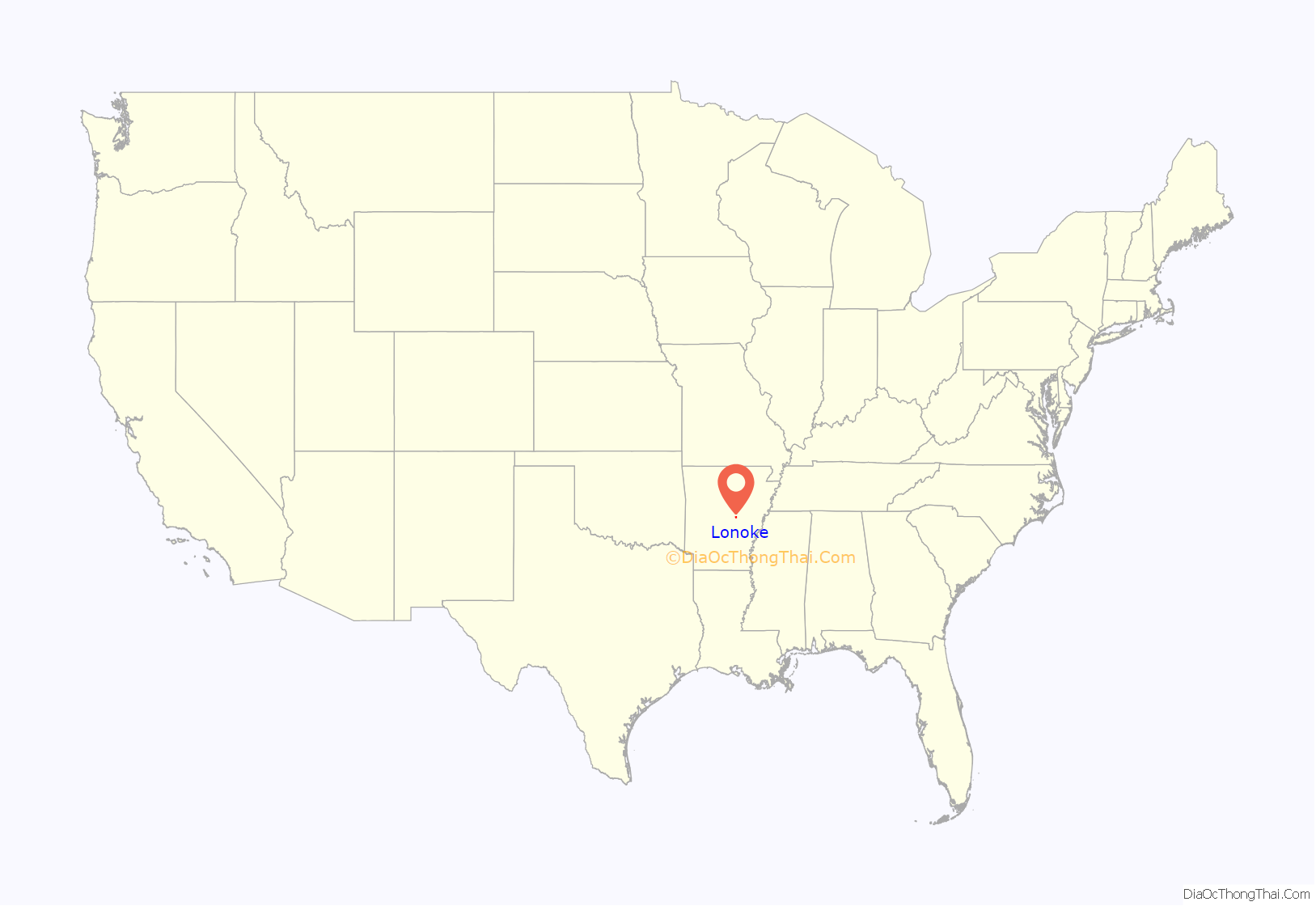
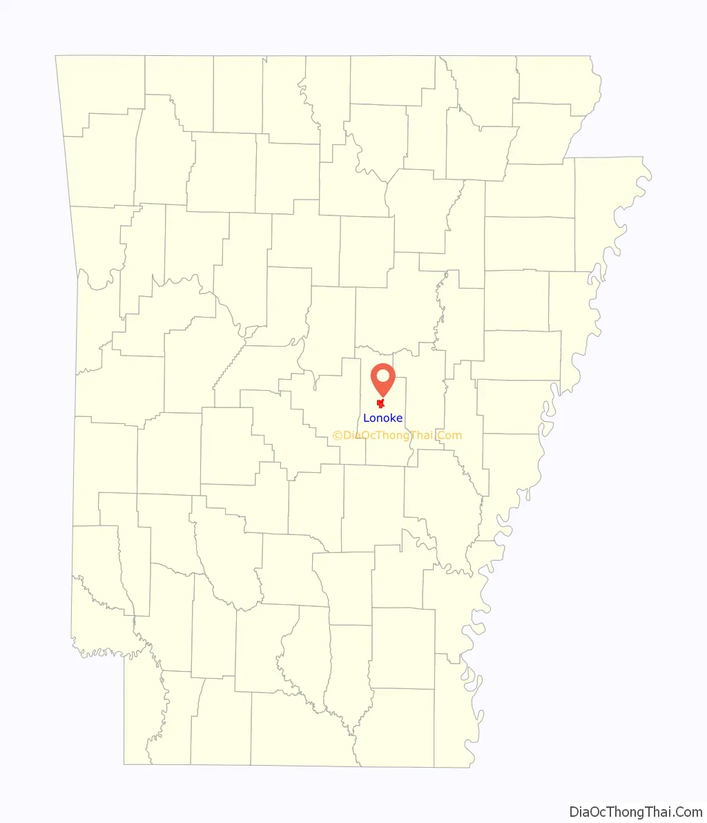
Lonoke location map. Where is Lonoke city?
History
Lonoke’s history begins with the advance of Union troops through Central Arkansas during the American Civil War. The town of Brownsville was burned to the ground by Union forces after the retreat of Confederate forces westward to Little Rock. After the war, it was decided by the city leaders of Brownsville that a new town should be formed by the nearby railroad so that those who wished to stay could do so.
According to local legend, the town was named for a large red oak tree that was found while trees were being chopped down in order to build houses. The official name of the city was originally Lone Oak. However, due to a misprint in the Lonoke Democrat newspaper, the town’s name was printed as Lonoak. Eventually, this misspelling became further misspelled as Lonoke.
The town of Lonoke was very slow to grow. Lonoke maintained a sustainable population through the support of its agricultural based economy until World War II. Because of the baby boom, Lonoke’s population began to reach higher numbers. Furthermore, Lonoke became a sort of suburban area of Little Rock due to the implementation of the Interstate Highway System and the construction of Interstate 40.
In recent years, the population of Lonoke has remained in the area of about 4,000 people. As the Little Rock metropolitan area continues to grow, Lonoke’s population is expected to grow as well as Lonoke is becoming more suitable as a suburban area.
Eberts Field, used by the United States Army for pilot training during World War I and World War II, was located near Lonoke.
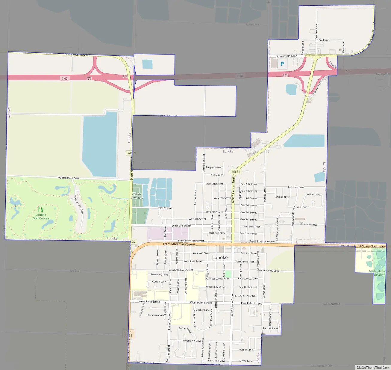
Lonoke Road Map
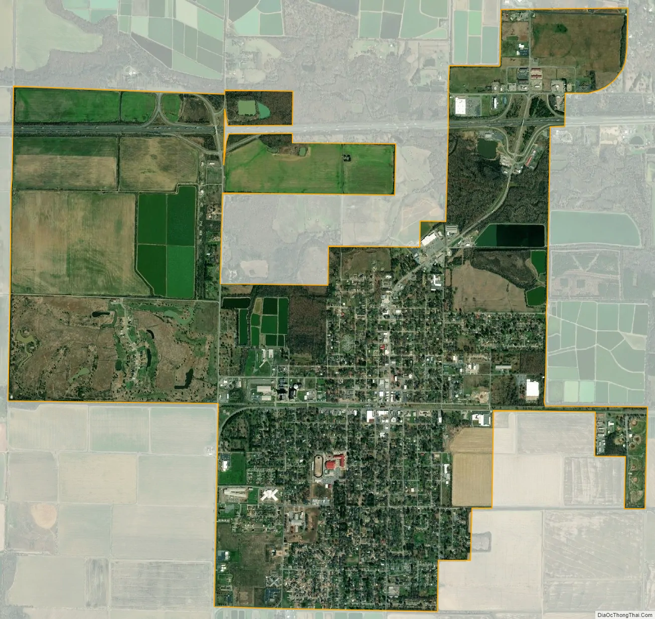
Lonoke city Satellite Map
Geography
Lonoke is in central Lonoke County, located at 34°47′3″N 91°54′3″W / 34.78417°N 91.90083°W / 34.78417; -91.90083 (34.784065, -91.900705).
According to the United States Census Bureau, the city has a total area of 4.6 square miles (12 km), of which 4.3 square miles (11 km) is land and 0.3 square miles (0.78 km) (6.07%) is water.
See also
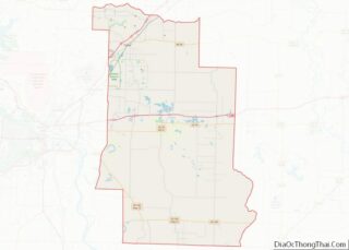
Map of Arkansas State and its subdivision:- Arkansas
- Ashley
- Baxter
- Benton
- Boone
- Bradley
- Calhoun
- Carroll
- Chicot
- Clark
- Clay
- Cleburne
- Cleveland
- Columbia
- Conway
- Craighead
- Crawford
- Crittenden
- Cross
- Dallas
- Desha
- Drew
- Faulkner
- Franklin
- Fulton
- Garland
- Grant
- Greene
- Hempstead
- Hot Spring
- Howard
- Independence
- Izard
- Jackson
- Jefferson
- Johnson
- Lafayette
- Lawrence
- Lee
- Lincoln
- Little River
- Logan
- Lonoke
- Madison
- Marion
- Miller
- Mississippi
- Monroe
- Montgomery
- Nevada
- Newton
- Ouachita
- Perry
- Phillips
- Pike
- Poinsett
- Polk
- Pope
- Prairie
- Pulaski
- Randolph
- Saint Francis
- Saline
- Scott
- Searcy
- Sebastian
- Sevier
- Sharp
- Stone
- Union
- Van Buren
- Washington
- White
- Woodruff
- Yell
- Alabama
- Alaska
- Arizona
- Arkansas
- California
- Colorado
- Connecticut
- Delaware
- District of Columbia
- Florida
- Georgia
- Hawaii
- Idaho
- Illinois
- Indiana
- Iowa
- Kansas
- Kentucky
- Louisiana
- Maine
- Maryland
- Massachusetts
- Michigan
- Minnesota
- Mississippi
- Missouri
- Montana
- Nebraska
- Nevada
- New Hampshire
- New Jersey
- New Mexico
- New York
- North Carolina
- North Dakota
- Ohio
- Oklahoma
- Oregon
- Pennsylvania
- Rhode Island
- South Carolina
- South Dakota
- Tennessee
- Texas
- Utah
- Vermont
- Virginia
- Washington
- West Virginia
- Wisconsin
- Wyoming