Lockesburg is a city in Sevier County, Arkansas, United States. The population was 739 at the 2010 census.
| Name: | Lockesburg city |
|---|---|
| LSAD Code: | 25 |
| LSAD Description: | city (suffix) |
| State: | Arkansas |
| County: | Sevier County |
| Elevation: | 400 ft (100 m) |
| Total Area: | 3.49 sq mi (9.03 km²) |
| Land Area: | 3.48 sq mi (9.02 km²) |
| Water Area: | 0.00 sq mi (0.01 km²) |
| Total Population: | 594 |
| Population Density: | 170.49/sq mi (65.84/km²) |
| ZIP code: | 71846 |
| Area code: | 870 |
| FIPS code: | 0541090 |
| GNISfeature ID: | 2404945 |
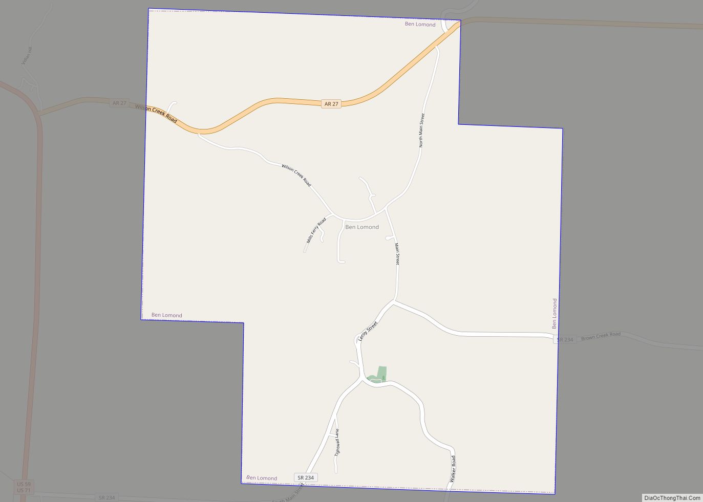
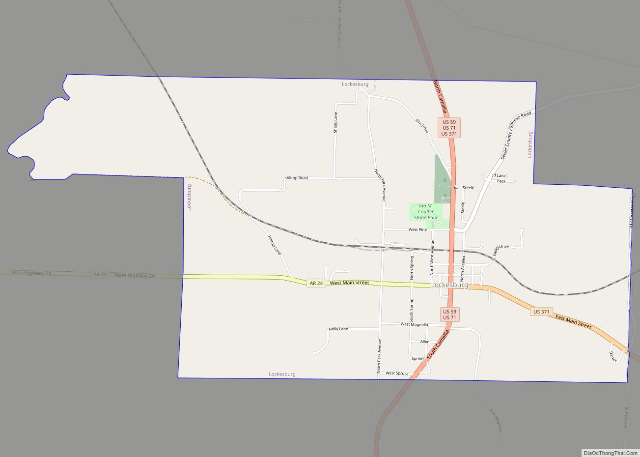
Online Interactive Map
Click on ![]() to view map in "full screen" mode.
to view map in "full screen" mode.
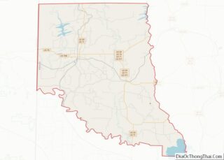
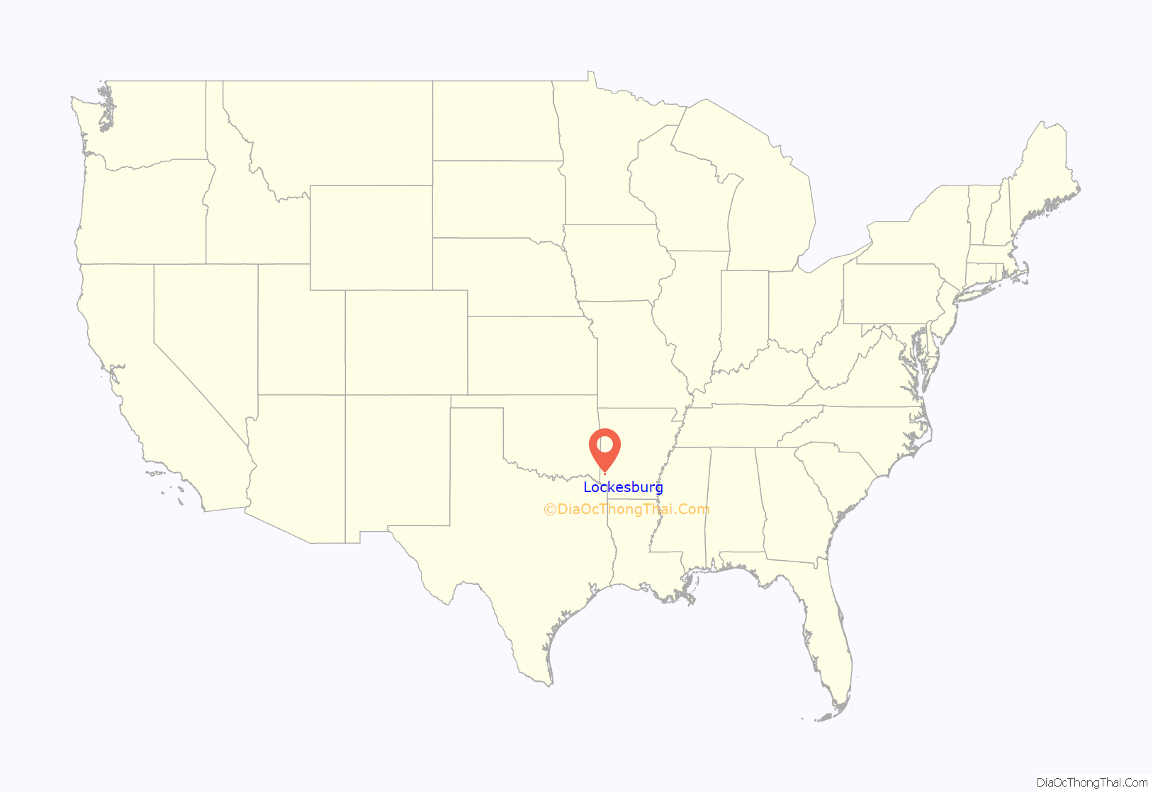
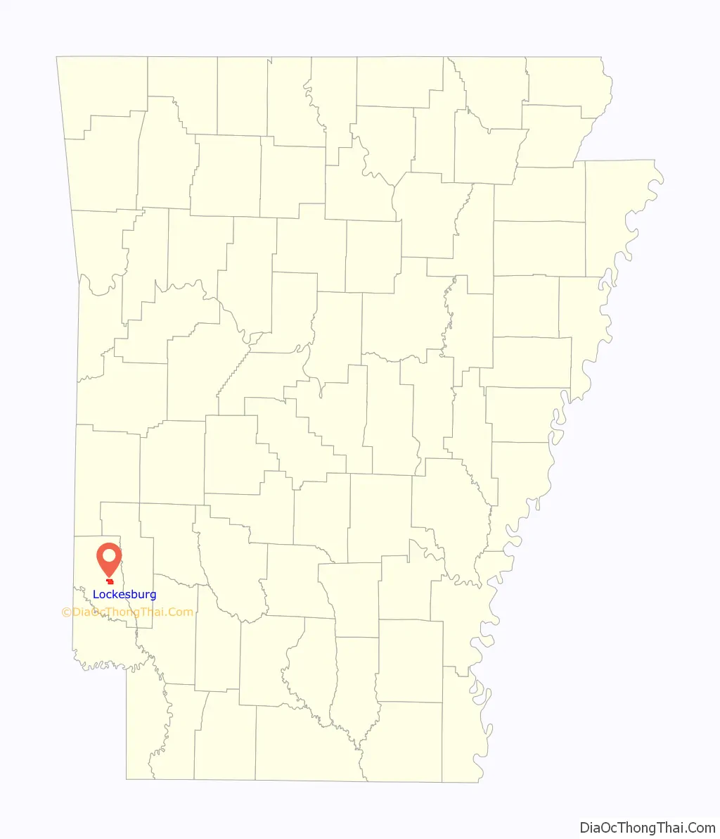
Lockesburg location map. Where is Lockesburg city?
History
Though Lockesburg became the county seat on January 18, 1869, it was not incorporated until November 7, 1878. The land was donated by three members of a prominent local family–James, William, and Matthew Locke—and one Royal Appleton, for creation of a new county seat after an area of Sevier County was carved away to become part of newly created Little River County, and the existing county seat, Paraclifta, was no longer centrally located. The town’s growth was stunted when a major railroad bypassed the town for De Queen in 1897, along with a subsequent loss of county seat status to De Queen in 1905. But the timber industry served to boost the fortunes of the town in the Twentieth Century.
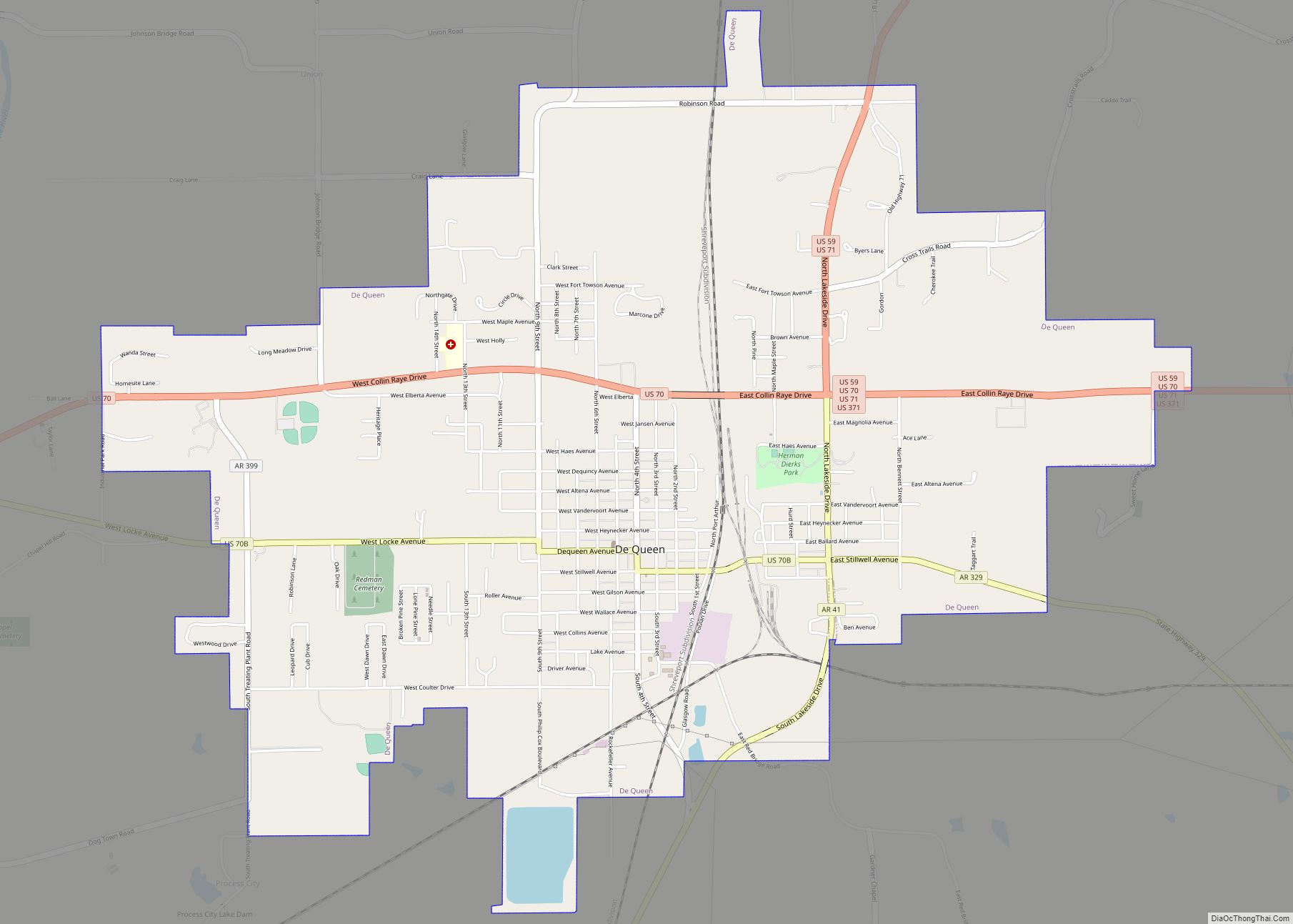
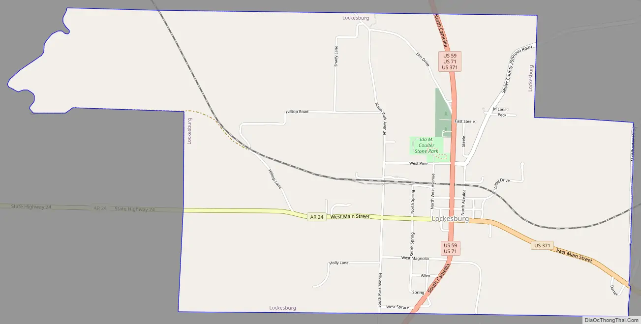
Lockesburg Road Map
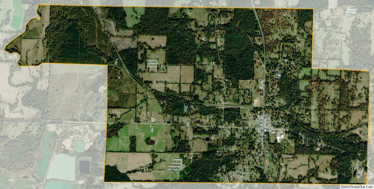
Lockesburg city Satellite Map
Geography
Lockesburg is located at 33°58′11″N 94°10′16″W / 33.96972°N 94.17111°W / 33.96972; -94.17111 (33.969852, -94.171034).
According to the United States Census Bureau, the town has a total area of 3.5 square miles (9.1 km), all land.
See also
Map of Arkansas State and its subdivision:- Arkansas
- Ashley
- Baxter
- Benton
- Boone
- Bradley
- Calhoun
- Carroll
- Chicot
- Clark
- Clay
- Cleburne
- Cleveland
- Columbia
- Conway
- Craighead
- Crawford
- Crittenden
- Cross
- Dallas
- Desha
- Drew
- Faulkner
- Franklin
- Fulton
- Garland
- Grant
- Greene
- Hempstead
- Hot Spring
- Howard
- Independence
- Izard
- Jackson
- Jefferson
- Johnson
- Lafayette
- Lawrence
- Lee
- Lincoln
- Little River
- Logan
- Lonoke
- Madison
- Marion
- Miller
- Mississippi
- Monroe
- Montgomery
- Nevada
- Newton
- Ouachita
- Perry
- Phillips
- Pike
- Poinsett
- Polk
- Pope
- Prairie
- Pulaski
- Randolph
- Saint Francis
- Saline
- Scott
- Searcy
- Sebastian
- Sevier
- Sharp
- Stone
- Union
- Van Buren
- Washington
- White
- Woodruff
- Yell
- Alabama
- Alaska
- Arizona
- Arkansas
- California
- Colorado
- Connecticut
- Delaware
- District of Columbia
- Florida
- Georgia
- Hawaii
- Idaho
- Illinois
- Indiana
- Iowa
- Kansas
- Kentucky
- Louisiana
- Maine
- Maryland
- Massachusetts
- Michigan
- Minnesota
- Mississippi
- Missouri
- Montana
- Nebraska
- Nevada
- New Hampshire
- New Jersey
- New Mexico
- New York
- North Carolina
- North Dakota
- Ohio
- Oklahoma
- Oregon
- Pennsylvania
- Rhode Island
- South Carolina
- South Dakota
- Tennessee
- Texas
- Utah
- Vermont
- Virginia
- Washington
- West Virginia
- Wisconsin
- Wyoming