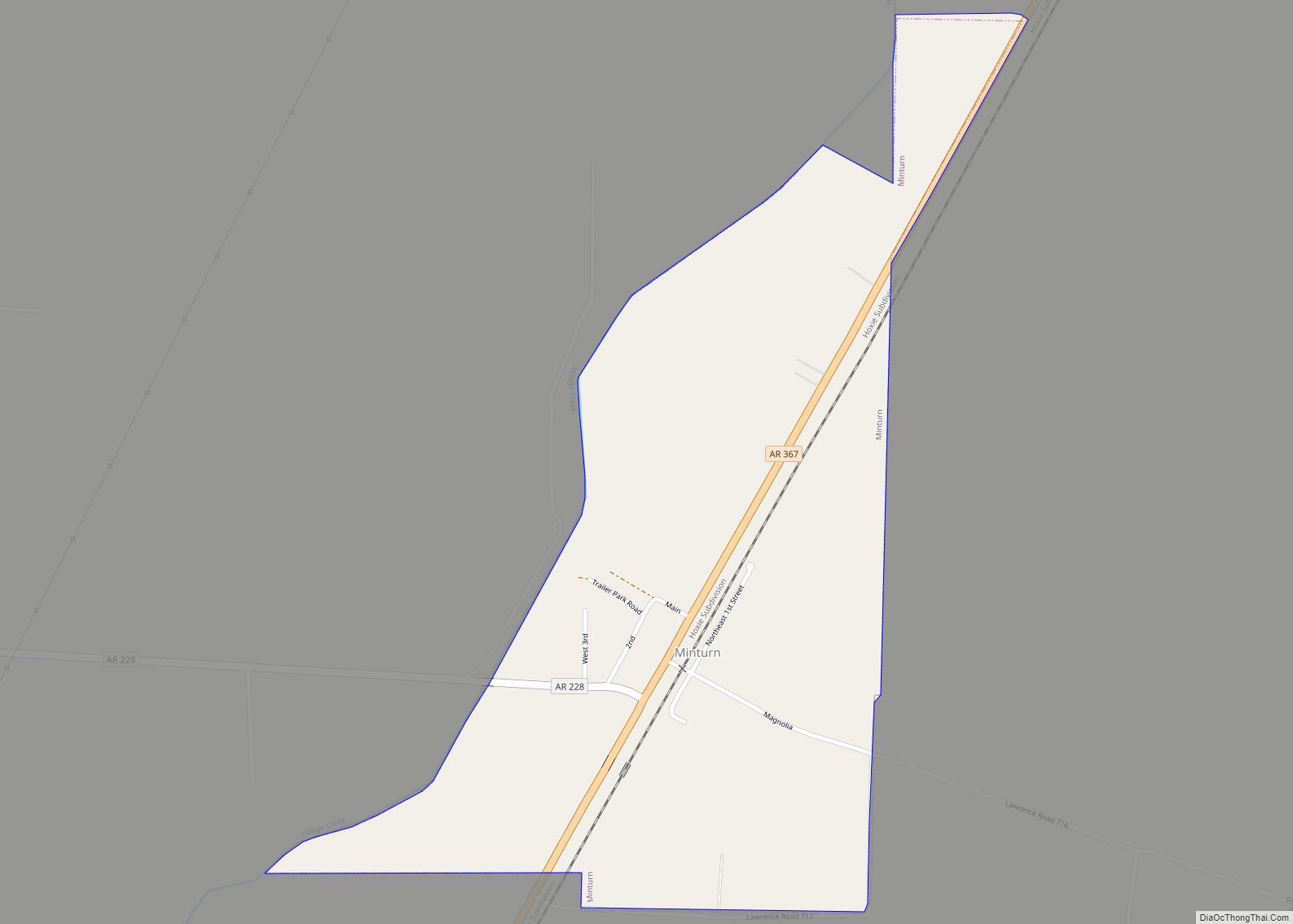
Minturn is a town in Lawrence County, Arkansas, United States. The population was 109 at the 2010 census. Minturn town overview: Name: Minturn town LSAD Code: 43 LSAD Description: town (suffix) State: Arkansas County: Lawrence County Elevation: 262 ft (80 m) Total Area: 0.57 sq mi (1.47 km²) Land Area: 0.57 sq mi (1.47 km²) Water Area: 0.00 sq mi (0.00 km²) Total Population: 87 Population ... Read more
Arkansas Cities and Places
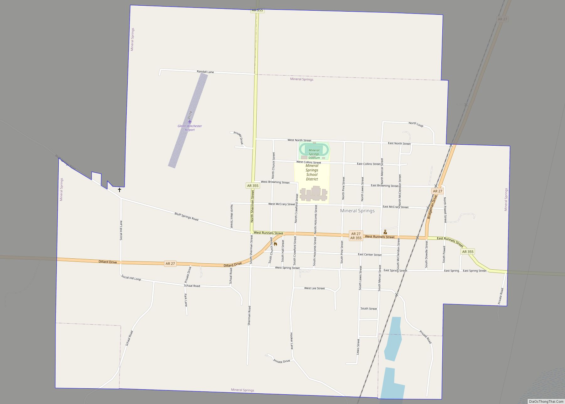
Mineral Springs is a city in Howard County, Arkansas, United States. The population was 1,208 at the 2010 census. Mineral Springs city overview: Name: Mineral Springs city LSAD Code: 25 LSAD Description: city (suffix) State: Arkansas County: Howard County Elevation: 341 ft (104 m) Total Area: 2.14 sq mi (5.53 km²) Land Area: 2.13 sq mi (5.52 km²) Water Area: 0.00 sq mi (0.01 km²) Total ... Read more
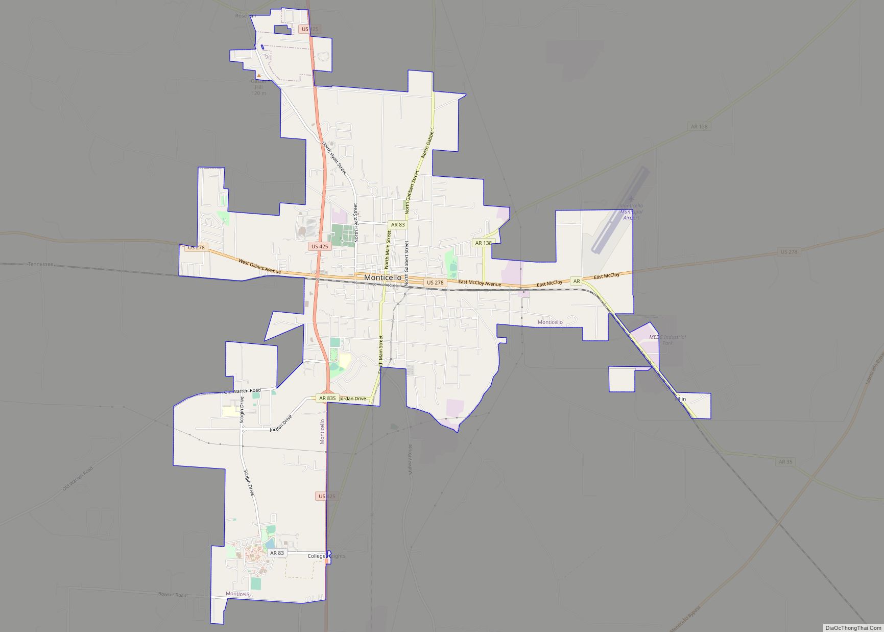
Monticello (/ˌmɒntɪˈsɛloʊ/ (listen) MON-tiss-EL-oh) is a college town in, and the county seat of, Drew County, Arkansas, United States. As of the 2010 census it had a population of 9,467. Founded in 1849 in the Arkansas Timberlands near the Arkansas Delta region, the city has long been a commercial, cultural and educational hub for southeast ... Read more
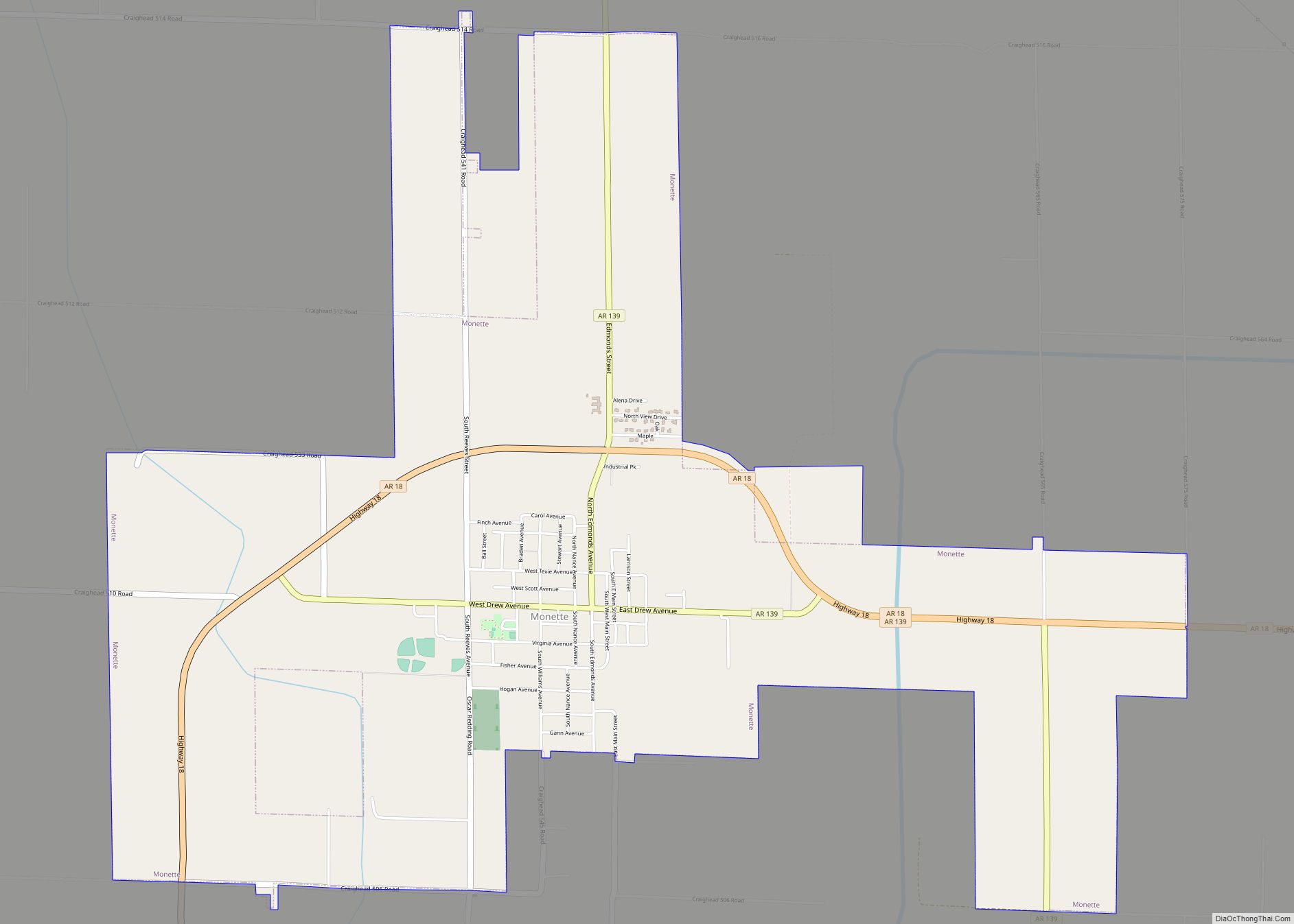
Monette is a city in Craighead County, Arkansas, United States. The population was 1,506 at the 2020 census. Monette city overview: Name: Monette city LSAD Code: 25 LSAD Description: city (suffix) State: Arkansas County: Craighead County Elevation: 236 ft (72 m) Total Area: 5.66 sq mi (14.67 km²) Land Area: 5.66 sq mi (14.65 km²) Water Area: 0.01 sq mi (0.02 km²) Total Population: 1,506 Population ... Read more
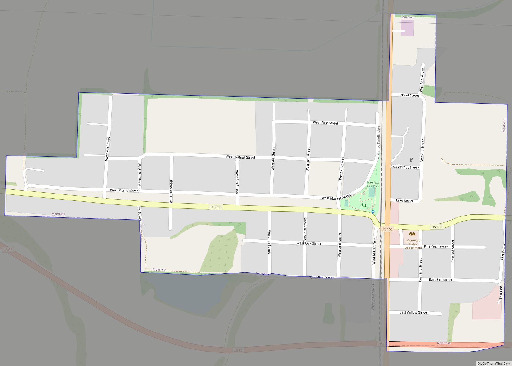
Montrose is a city in Ashley County, Arkansas, United States. The population was 354 at the 2010 census. Montrose is located where U.S. Route 165 intersects with U.S. Route 82. The town was heavily damaged by an EF2 tornado on January 2, 2023. Montrose city overview: Name: Montrose city LSAD Code: 25 LSAD Description: city ... Read more
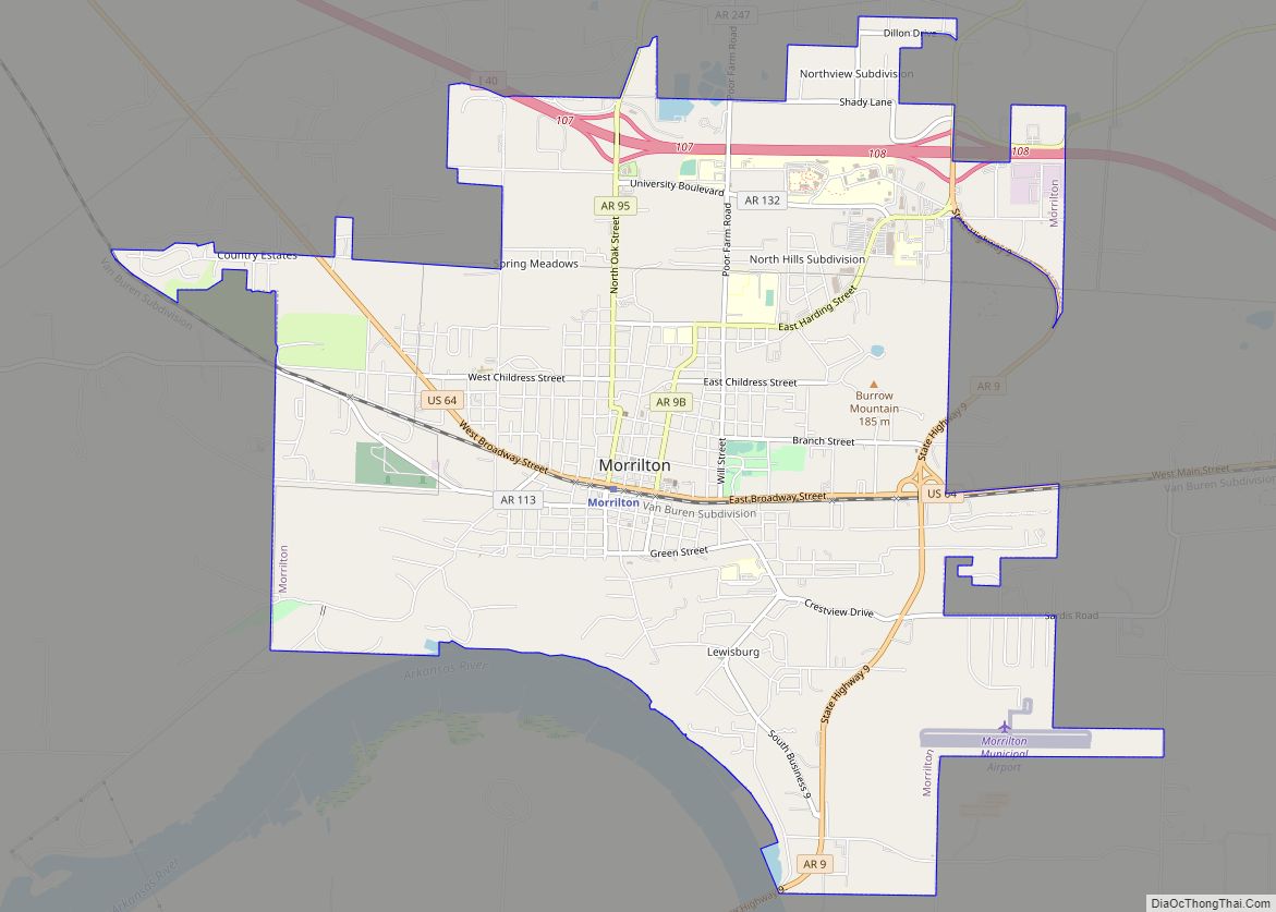
Morrilton is a city in Conway County, Arkansas, United States, less than 50 miles (80 km) northwest of Little Rock. The city is the county seat of Conway County. The population was 6,992 at the 2020 United States census. Morrilton city overview: Name: Morrilton city LSAD Code: 25 LSAD Description: city (suffix) State: Arkansas County: Conway ... Read more
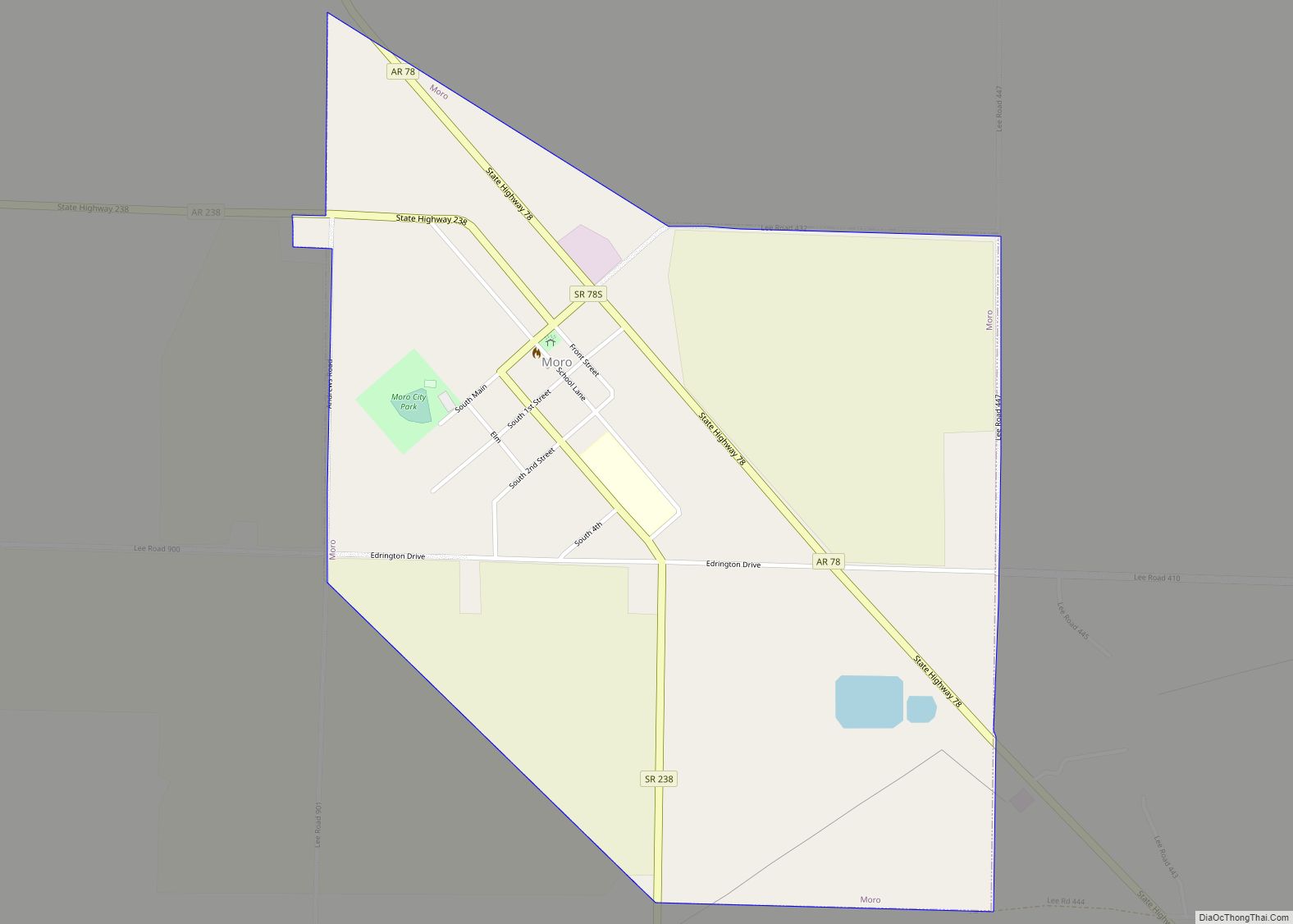
Moro is a town in Lee County, Arkansas, United States. The population was 216 at the 2010 census. Moro town overview: Name: Moro town LSAD Code: 43 LSAD Description: town (suffix) State: Arkansas County: Lee County Elevation: 200 ft (60 m) Total Area: 0.96 sq mi (2.50 km²) Land Area: 0.96 sq mi (2.50 km²) Water Area: 0.00 sq mi (0.00 km²) Total Population: 177 Population ... Read more
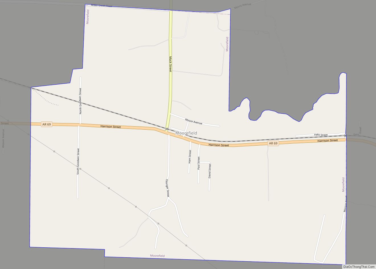
Moorefield is a town in Independence County, Arkansas, United States. It was named after Jesse A. Moore who owned most of the land in the area of the town at that time. The population was 137 at the 2010 census. Moorefield town overview: Name: Moorefield town LSAD Code: 43 LSAD Description: town (suffix) State: Arkansas ... Read more
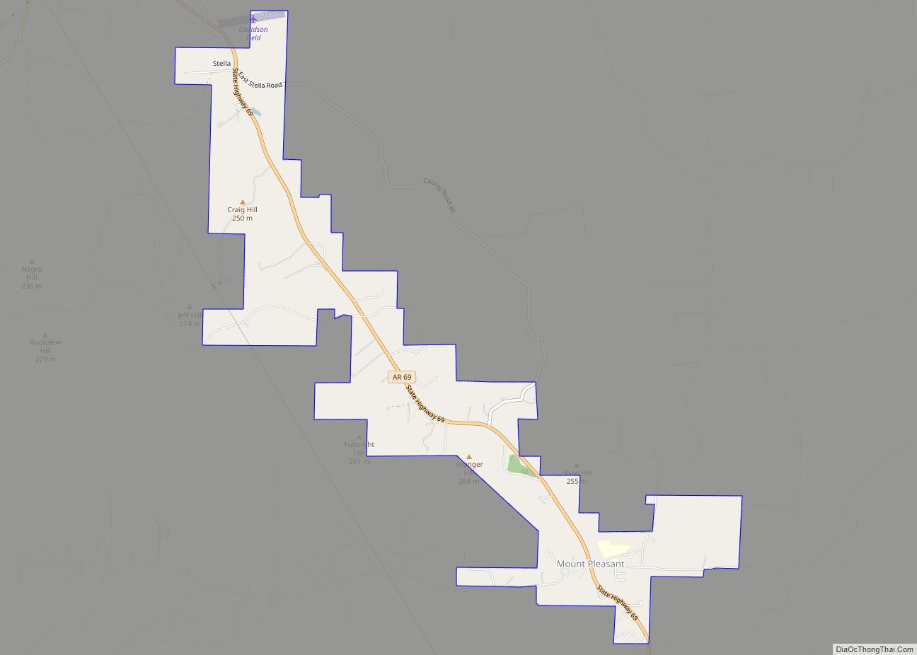
Mount Pleasant is a town in Izard County, Arkansas, United States. As of the 2020 census, the town population was 353. Mount Pleasant town overview: Name: Mount Pleasant town LSAD Code: 43 LSAD Description: town (suffix) State: Arkansas County: Izard County Elevation: 686 ft (209 m) Total Area: 3.52 sq mi (9.11 km²) Land Area: 3.50 sq mi (9.07 km²) Water Area: 0.01 sq mi ... Read more
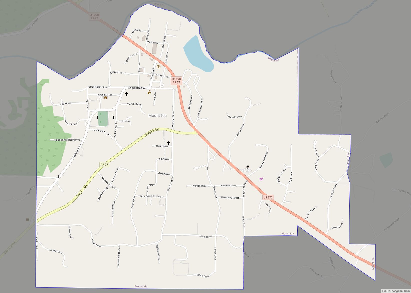
Mount Ida is a city in and county seat of Montgomery County, Arkansas, United States. Founded in 1842, the city saw a silver boom in the 1880s bring early prosperity and economic development to the area. Today, the economy is largely ranching, poultry farming, silviculture, and tourism around Lake Ouachita. It is known as the ... Read more
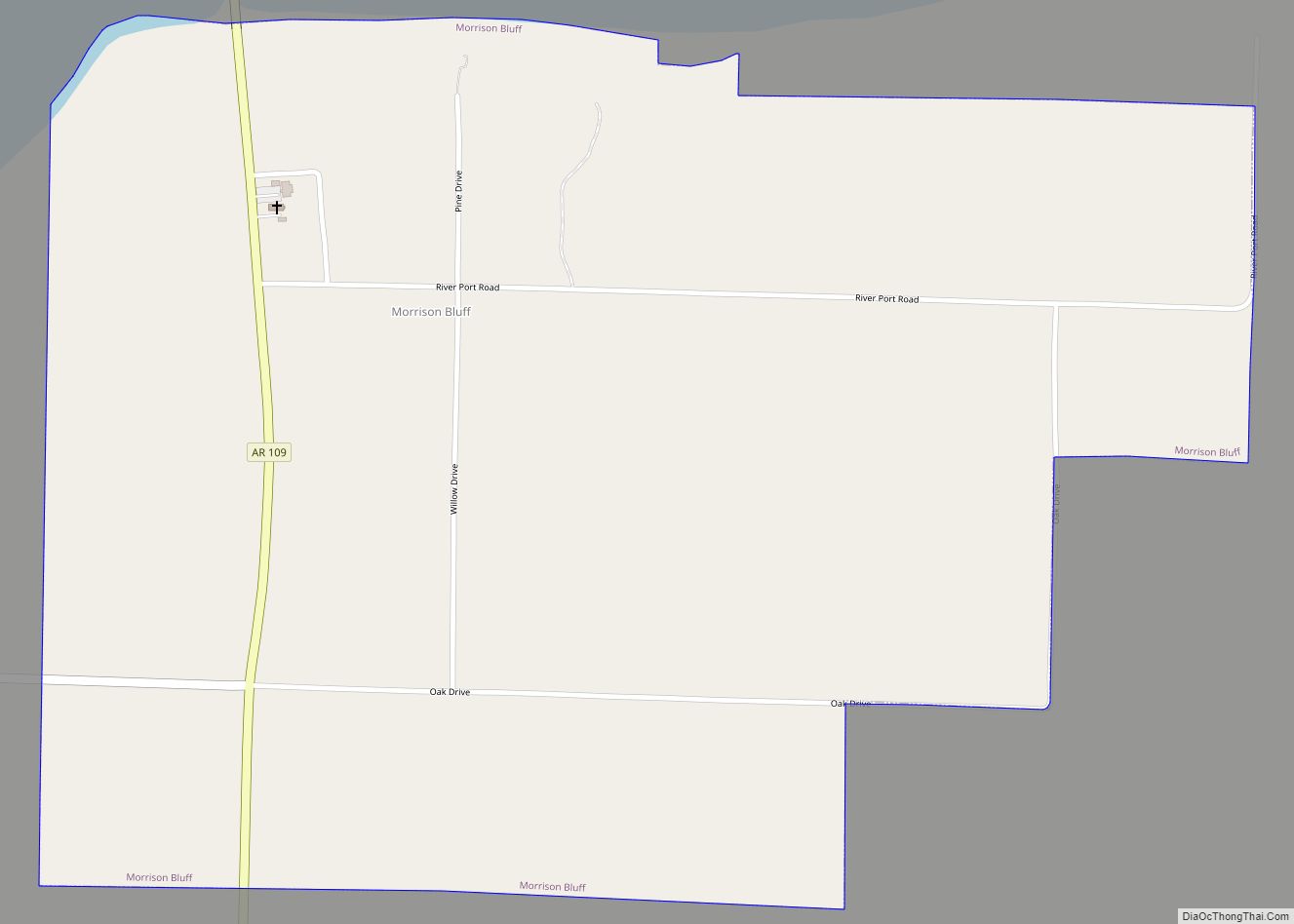
Morrison Bluff is a town in Logan County, Arkansas, United States. The population was 64 at the 2010 census and an estimated 81 in 2017. Morrison Bluff town overview: Name: Morrison Bluff town LSAD Code: 43 LSAD Description: town (suffix) State: Arkansas County: Logan County Elevation: 381 ft (116 m) Total Area: 1.35 sq mi (3.51 km²) Land Area: 1.34 sq mi ... Read more
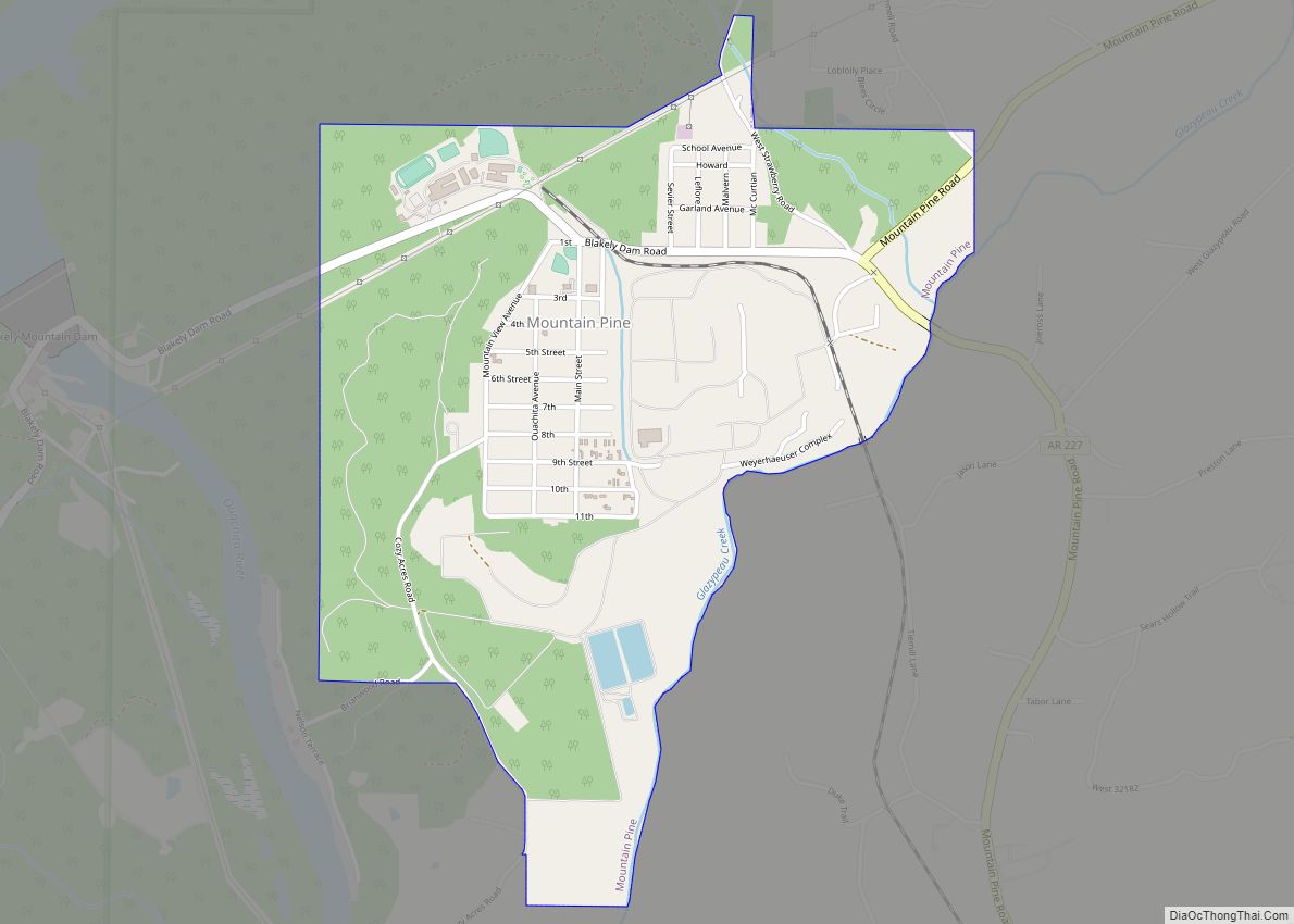
Mountain Pine is a city in Garland County, Arkansas, United States. It is part of the Hot Springs Metropolitan Statistical Area. The population was 770 at the 2010 United States Census. It is located immediately southeast of Lake Ouachita below the Blakely Mountain Dam. The city consists of five defined neighborhoods, Pinewood (north), South Mountain ... Read more
