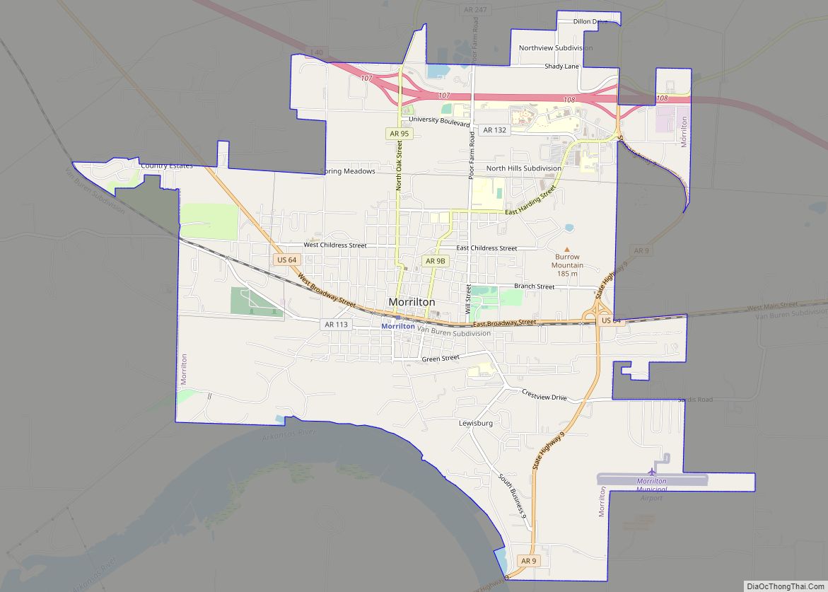
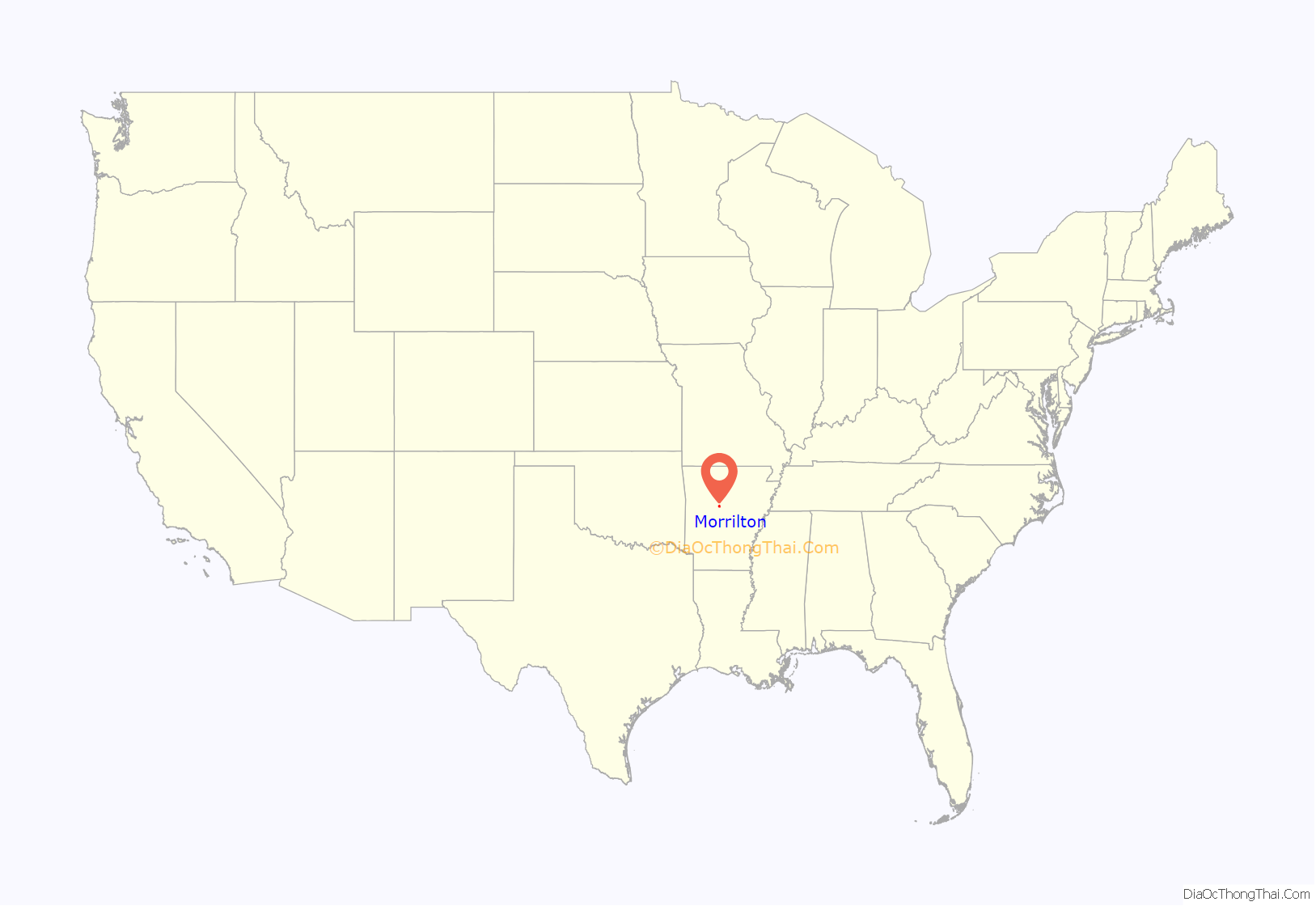
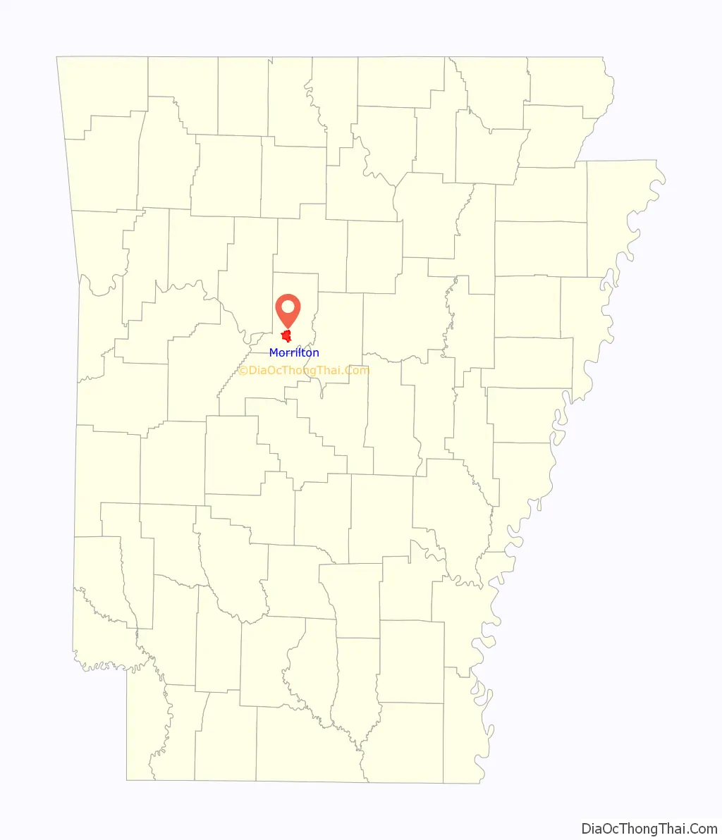
Morrilton is a city in Conway County, Arkansas, United States, less than 50 miles (80 km) northwest of Little Rock. The city is the county seat of Conway County. The population was 6,992 at the 2020 United States census.
| Name: | Morrilton city |
|---|---|
| LSAD Code: | 25 |
| LSAD Description: | city (suffix) |
| State: | Arkansas |
| County: | Conway County |
| Elevation: | 384 ft (117 m) |
| Total Area: | 8.97 sq mi (23.24 km²) |
| Land Area: | 8.83 sq mi (22.86 km²) |
| Water Area: | 0.15 sq mi (0.38 km²) |
| Total Population: | 6,992 |
| Population Density: | 792.03/sq mi (305.82/km²) |
| ZIP code: | 72110 |
| Area code: | 501 |
| FIPS code: | 0546970 |
| GNISfeature ID: | 0056839 |
| Website: | www.cityofmorrilton.com |
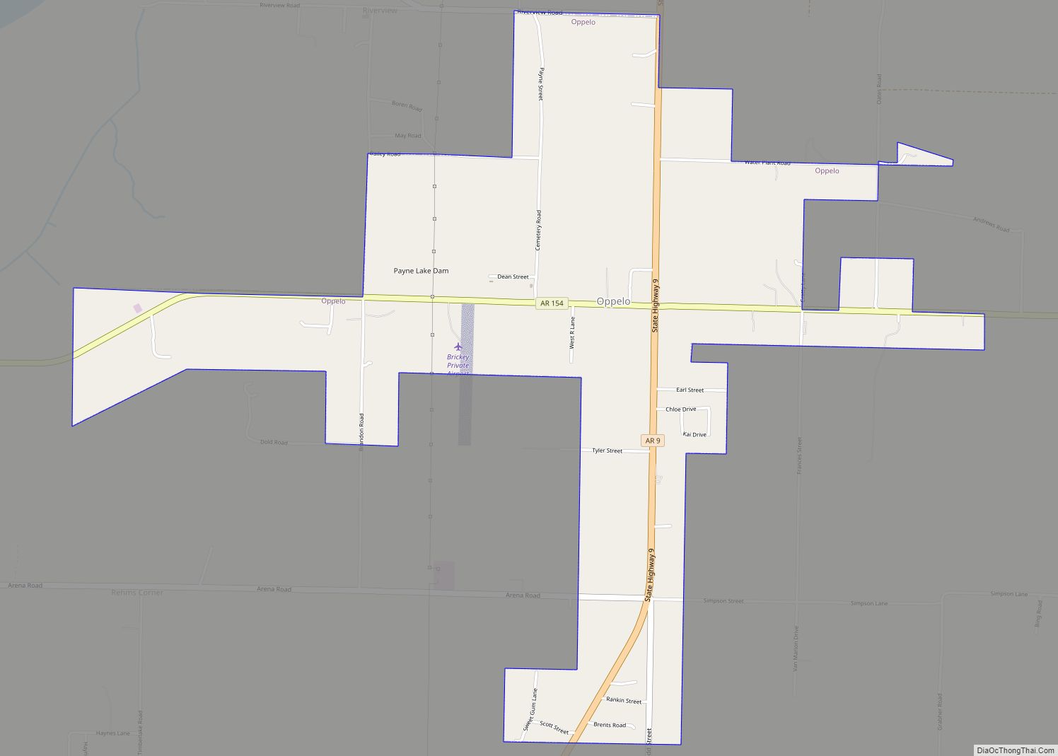
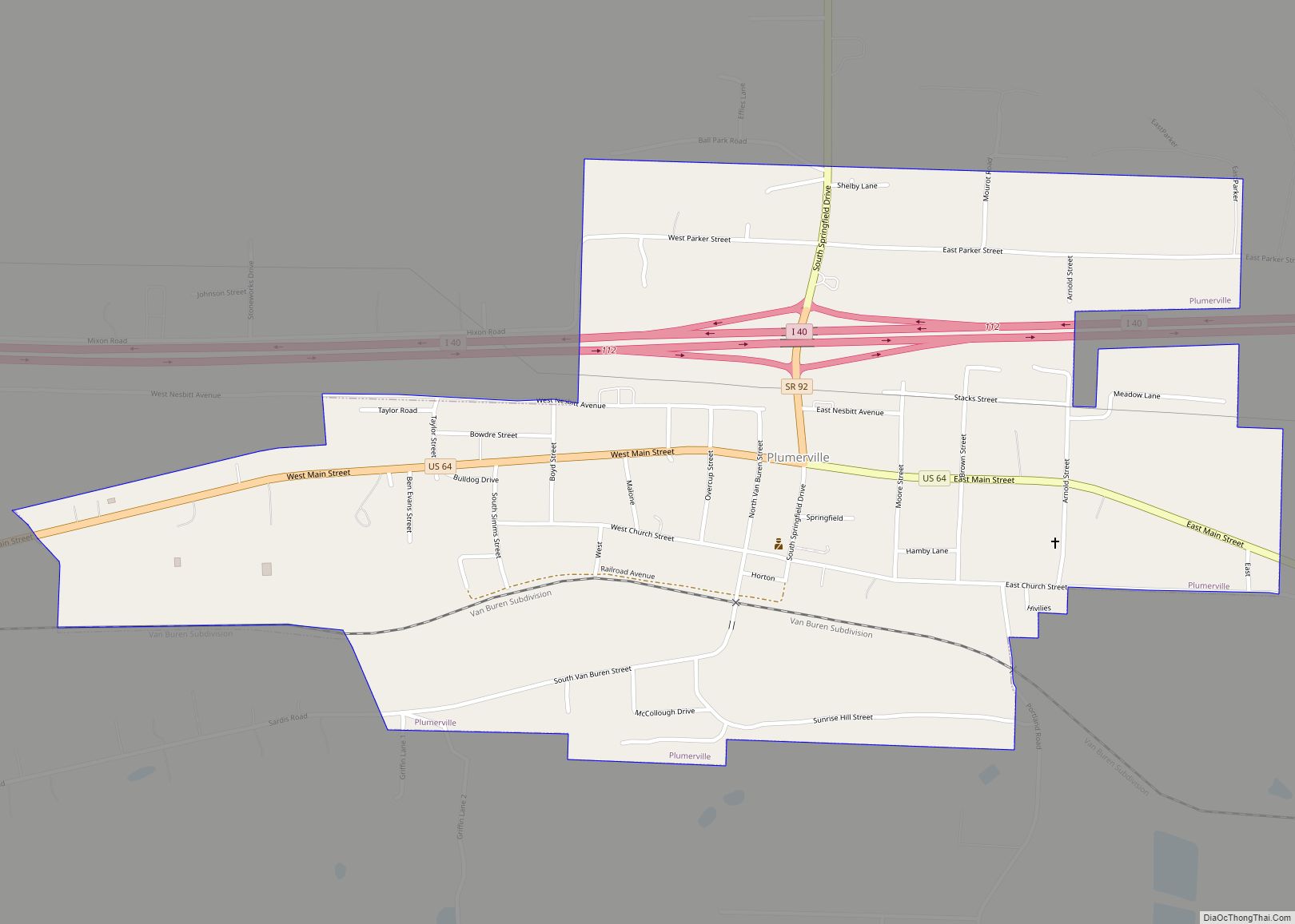
Online Interactive Map
Click on ![]() to view map in "full screen" mode.
to view map in "full screen" mode.
Morrilton location map. Where is Morrilton city?
History
In 1825 a trading post was established about a mile south of present-day Morrilton on the Arkansas River. This town, later named Lewisburg, thrived after being incorporated in 1844. In 1871 the Little Rock and Fort Smith Railroad built track through present day Morrilton. It was later named Morrilton after the previous landowners E.J. and George H. Morrill. The downtown grew around the Morrills’ land and that owned by James M. Moose. Residents of Lewisburg eventually moved away from the river and to the railroad hub at Morrilton. In 1883 Morrilton became the seat of Conway County, Arkansas.
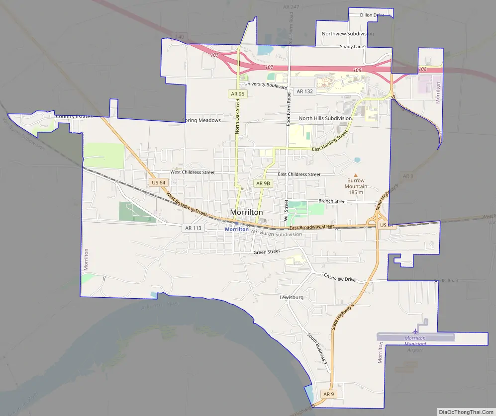
Morrilton Road Map
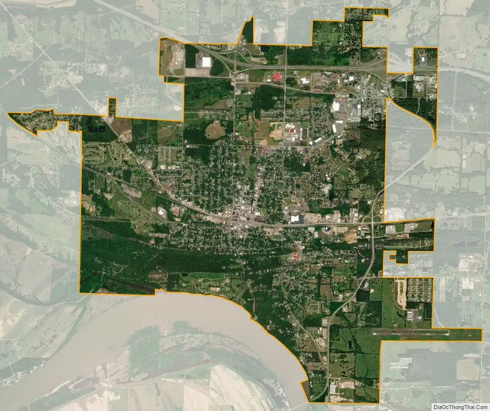
Morrilton city Satellite Map
Geography
Morrilton is located in southern Conway County at 35°9′23″N 92°44′31″W / 35.15639°N 92.74194°W / 35.15639; -92.74194 (35.156373, -92.741944). It is bordered on the south by the Arkansas River.
Interstate 40 passes through the northern side of the city, leading southeast 48 miles (77 km) to Little Rock and west 107 miles (172 km) to Fort Smith. U.S. Route 64 (East and West Broadway Street) is the main road through the city center, leading east 6 miles (10 km) to Plumerville and northwest 13 miles (21 km) to Atkins. Arkansas Highway 9 forms an eastern bypass of Morrilton and leads north 40 miles (64 km) to Clinton and south across the Arkansas River 13 miles (21 km) to Perryville.
According to the United States Census Bureau, Morrilton has a total area of 9.2 square miles (23.7 km), of which 8.7 square miles (22.6 km) is land and 0.39 square miles (1.0 km), or 4.29%, is water.
See also
Map of Arkansas State and its subdivision:- Arkansas
- Ashley
- Baxter
- Benton
- Boone
- Bradley
- Calhoun
- Carroll
- Chicot
- Clark
- Clay
- Cleburne
- Cleveland
- Columbia
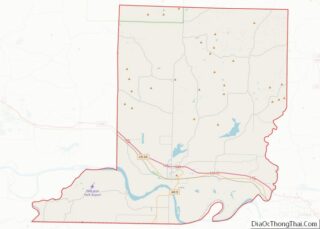
- Conway
- Craighead
- Crawford
- Crittenden
- Cross
- Dallas
- Desha
- Drew
- Faulkner
- Franklin
- Fulton
- Garland
- Grant
- Greene
- Hempstead
- Hot Spring
- Howard
- Independence
- Izard
- Jackson
- Jefferson
- Johnson
- Lafayette
- Lawrence
- Lee
- Lincoln
- Little River
- Logan
- Lonoke
- Madison
- Marion
- Miller
- Mississippi
- Monroe
- Montgomery
- Nevada
- Newton
- Ouachita
- Perry
- Phillips
- Pike
- Poinsett
- Polk
- Pope
- Prairie
- Pulaski
- Randolph
- Saint Francis
- Saline
- Scott
- Searcy
- Sebastian
- Sevier
- Sharp
- Stone
- Union
- Van Buren
- Washington
- White
- Woodruff
- Yell
- Alabama
- Alaska
- Arizona
- Arkansas
- California
- Colorado
- Connecticut
- Delaware
- District of Columbia
- Florida
- Georgia
- Hawaii
- Idaho
- Illinois
- Indiana
- Iowa
- Kansas
- Kentucky
- Louisiana
- Maine
- Maryland
- Massachusetts
- Michigan
- Minnesota
- Mississippi
- Missouri
- Montana
- Nebraska
- Nevada
- New Hampshire
- New Jersey
- New Mexico
- New York
- North Carolina
- North Dakota
- Ohio
- Oklahoma
- Oregon
- Pennsylvania
- Rhode Island
- South Carolina
- South Dakota
- Tennessee
- Texas
- Utah
- Vermont
- Virginia
- Washington
- West Virginia
- Wisconsin
- Wyoming