Monticello (/ˌmɒntɪˈsɛloʊ/ (listen) MON-tiss-EL-oh) is a college town in, and the county seat of, Drew County, Arkansas, United States. As of the 2010 census it had a population of 9,467. Founded in 1849 in the Arkansas Timberlands near the Arkansas Delta region, the city has long been a commercial, cultural and educational hub for southeast Arkansas. With a historically agriculture- and silviculture-based economy, Monticello has diversified to include growth from the medical sector and the University of Arkansas at Monticello (UAM).
| Name: | Monticello city |
|---|---|
| LSAD Code: | 25 |
| LSAD Description: | city (suffix) |
| State: | Arkansas |
| County: | Drew County |
| Elevation: | 292 ft (89 m) |
| Total Area: | 10.74 sq mi (27.82 km²) |
| Land Area: | 10.72 sq mi (27.78 km²) |
| Water Area: | 0.01 sq mi (0.04 km²) |
| Total Population: | 8,442 |
| Population Density: | 787.13/sq mi (303.91/km²) |
| ZIP code: | 71655-71657 |
| Area code: | 870 |
| FIPS code: | 0546580 |
| GNISfeature ID: | 0052144 |
| Website: | monticelloarkansas.us |
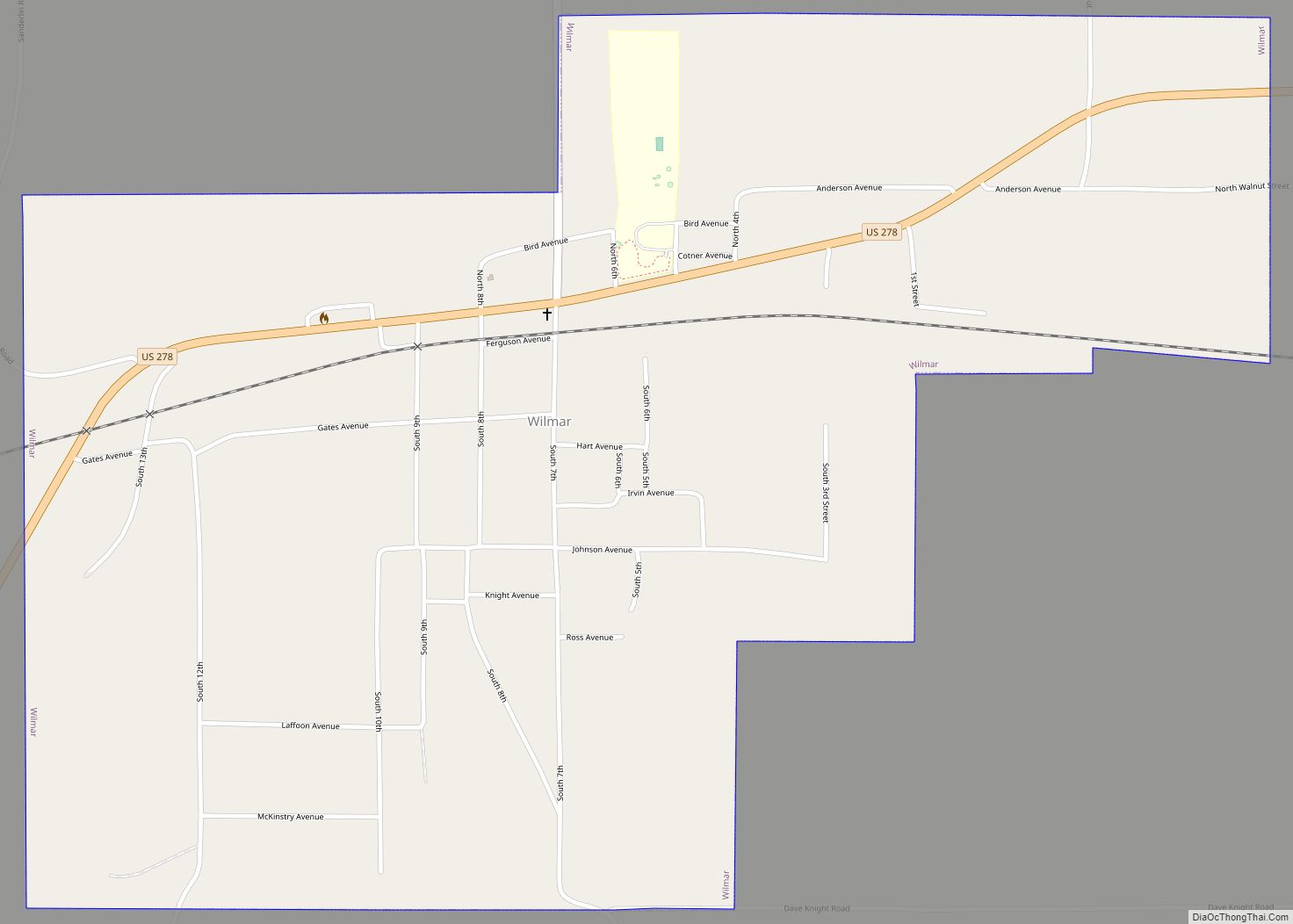
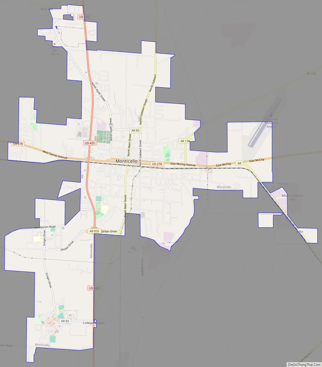
Online Interactive Map
Click on ![]() to view map in "full screen" mode.
to view map in "full screen" mode.
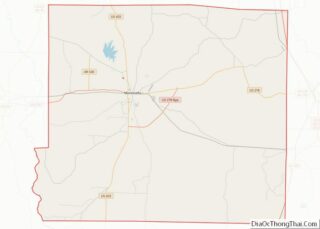
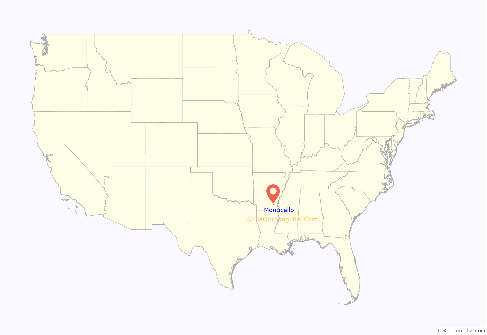
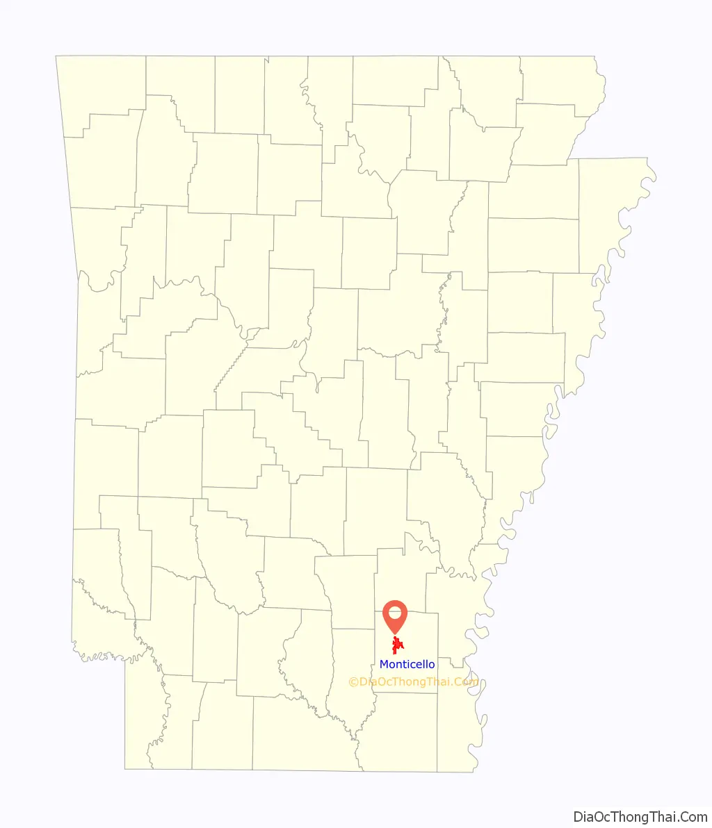
Monticello location map. Where is Monticello city?
History
When Drew County was formed in 1846, its citizens decided that a new town should be built to serve as the county seat. In 1849, land was donated for the town site. The first courthouse was built in 1851, and a second courthouse was erected in 1857.
Two trials were held in that courthouse in March and September 1859 to consider whether the slave Abby Guy ought to be freed. She said that a former master had manumitted her but that years later, she was illegally kidnapped and re-enslaved by his brother. The first trial in her freedom suit resulted in a hung jury, but the second jury of twelve local white men found in her favor. Top lawyers worked on her case, and she married another white man who assisted her. The case was appealed to the state supreme court, which ruled in Guy’s favor. Guy was set free as were her children because they were born to a free woman.
During the Civil War, several small skirmishes were fought around Monticello. The Rodger’s Female Academy was used as a hospital for Confederate soldiers.
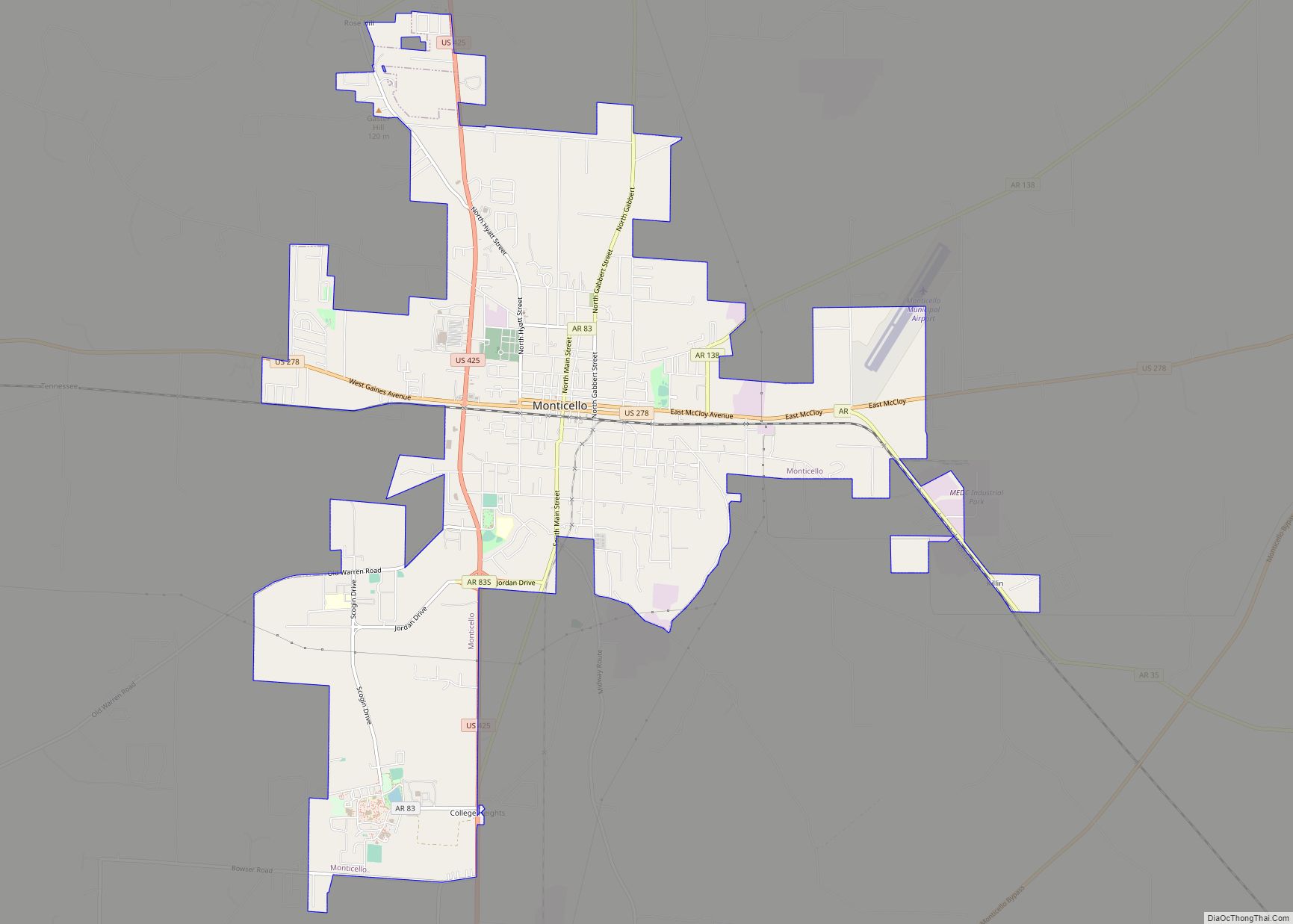
Monticello Road Map
Monticello city Satellite Map

Geography
Monticello is located west of the center of Drew County at 33°37′38″N 91°47′38″W / 33.62722°N 91.79389°W / 33.62722; -91.79389 (33.627183, −91.793787). U.S. Routes 425 and 278 intersect in the city, west of downtown. U.S. 425 leads north 50 miles (80 km) to Pine Bluff and south 29 miles (47 km) to Hamburg, while US 278 leads west 16 miles (26 km) to Warren and east 26 miles (42 km) to McGehee. In the future, I-530 is planned to be extended and end at the proposed I-69 west of Monticello. Only part of future I-69 that is built is US 278 bypass named “Monticello Bypass.” It is a two-lane expressway. A portion of future I-530 is opened as AR 530 and is a two-lane expressway.
According to the United States Census Bureau, Monticello has a total area of 11.0 square miles (28.6 km), of which 0.02 square miles (0.04 km), or 0.14%, is water.
Climate
Monticello lies in the humid subtropical climate zone (Köppen Cfa). The climate in this area is characterized by hot, humid summers and generally mild to cool winters.
See also
Map of Arkansas State and its subdivision:- Arkansas
- Ashley
- Baxter
- Benton
- Boone
- Bradley
- Calhoun
- Carroll
- Chicot
- Clark
- Clay
- Cleburne
- Cleveland
- Columbia
- Conway
- Craighead
- Crawford
- Crittenden
- Cross
- Dallas
- Desha
- Drew
- Faulkner
- Franklin
- Fulton
- Garland
- Grant
- Greene
- Hempstead
- Hot Spring
- Howard
- Independence
- Izard
- Jackson
- Jefferson
- Johnson
- Lafayette
- Lawrence
- Lee
- Lincoln
- Little River
- Logan
- Lonoke
- Madison
- Marion
- Miller
- Mississippi
- Monroe
- Montgomery
- Nevada
- Newton
- Ouachita
- Perry
- Phillips
- Pike
- Poinsett
- Polk
- Pope
- Prairie
- Pulaski
- Randolph
- Saint Francis
- Saline
- Scott
- Searcy
- Sebastian
- Sevier
- Sharp
- Stone
- Union
- Van Buren
- Washington
- White
- Woodruff
- Yell
- Alabama
- Alaska
- Arizona
- Arkansas
- California
- Colorado
- Connecticut
- Delaware
- District of Columbia
- Florida
- Georgia
- Hawaii
- Idaho
- Illinois
- Indiana
- Iowa
- Kansas
- Kentucky
- Louisiana
- Maine
- Maryland
- Massachusetts
- Michigan
- Minnesota
- Mississippi
- Missouri
- Montana
- Nebraska
- Nevada
- New Hampshire
- New Jersey
- New Mexico
- New York
- North Carolina
- North Dakota
- Ohio
- Oklahoma
- Oregon
- Pennsylvania
- Rhode Island
- South Carolina
- South Dakota
- Tennessee
- Texas
- Utah
- Vermont
- Virginia
- Washington
- West Virginia
- Wisconsin
- Wyoming