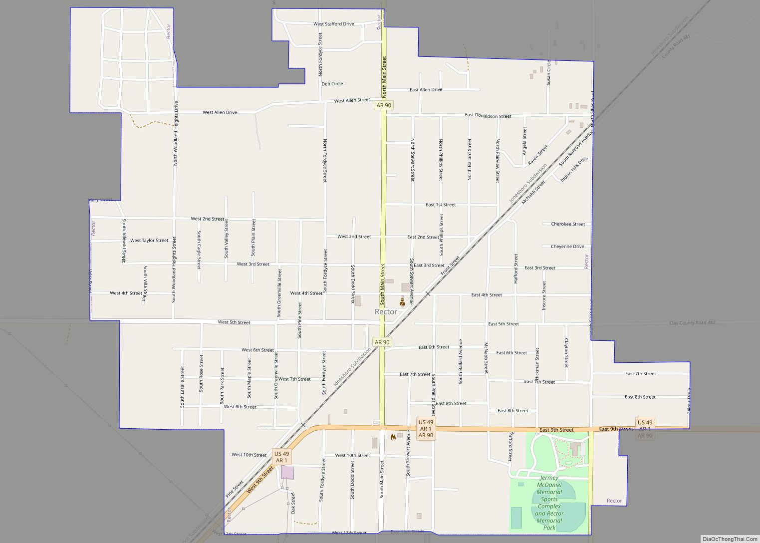
Rector is a city in southeastern Clay County, Arkansas, United States. The population was 1,977 at the 2010 census. Rector city overview: Name: Rector city LSAD Code: 25 LSAD Description: city (suffix) State: Arkansas County: Clay County Elevation: 292 ft (89 m) Total Area: 1.36 sq mi (3.53 km²) Land Area: 1.36 sq mi (3.53 km²) Water Area: 0.00 sq mi (0.00 km²) Total Population: 1,862 ... Read more
Arkansas Cities and Places
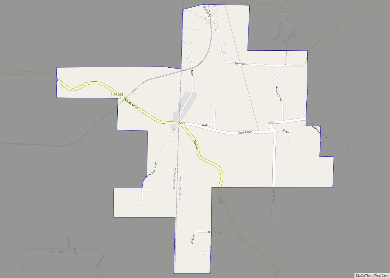
Reader is an unincorporated census-designated place in Nevada and Ouachita counties in the U.S. state of Arkansas. As of the 2010 census, its population is 66. Per the 2020 census, the population was 40. The Nevada County portion of Reader is part of the Hope Micropolitan Statistical Area, while the Ouachita County portion is part ... Read more
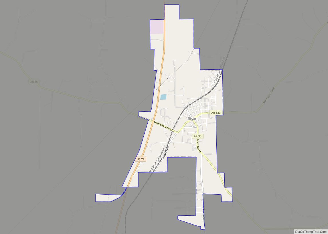
Rison is a city in and the county seat of Cleveland County, Arkansas, United States. Its population was 1,344 at the 2010 U.S. census. It is included in the Pine Bluff, Arkansas Metropolitan Statistical Area. Rison is a bedroom community for people who work in Pine Bluff (in neighboring Jefferson County). The largest employers are ... Read more
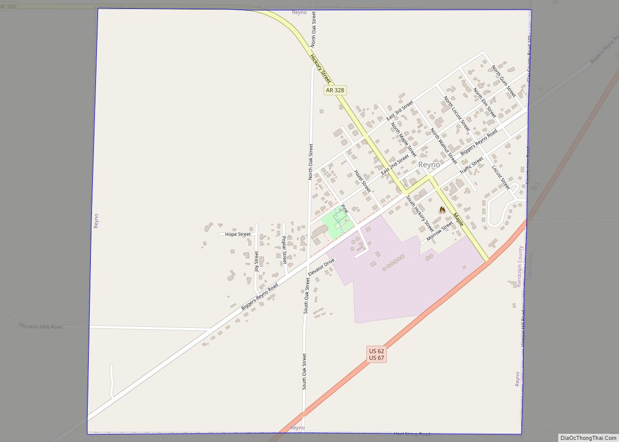
Reyno is a city in Randolph County, Arkansas, United States. The population was 456 at the 2010 census. Reyno city overview: Name: Reyno city LSAD Code: 25 LSAD Description: city (suffix) State: Arkansas County: Randolph County Elevation: 282 ft (86 m) Total Area: 1.01 sq mi (2.62 km²) Land Area: 1.01 sq mi (2.62 km²) Water Area: 0.00 sq mi (0.00 km²) Total Population: 391 Population ... Read more
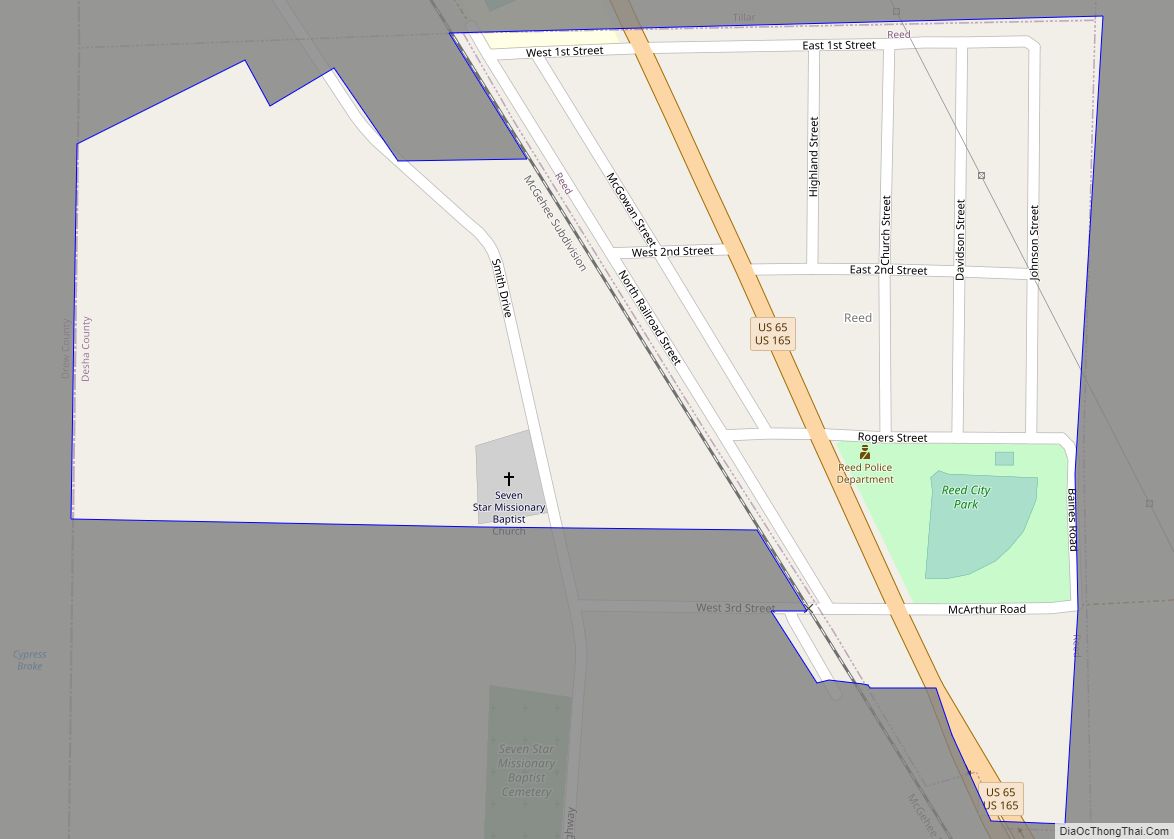
Reed is a town in Desha County, Arkansas, United States. The population was 141 at the 2010 census. Reed town overview: Name: Reed town LSAD Code: 43 LSAD Description: town (suffix) State: Arkansas County: Desha County Elevation: 148 ft (45 m) Total Area: 0.20 sq mi (0.53 km²) Land Area: 0.20 sq mi (0.53 km²) Water Area: 0.00 sq mi (0.00 km²) Total Population: 130 Population ... Read more
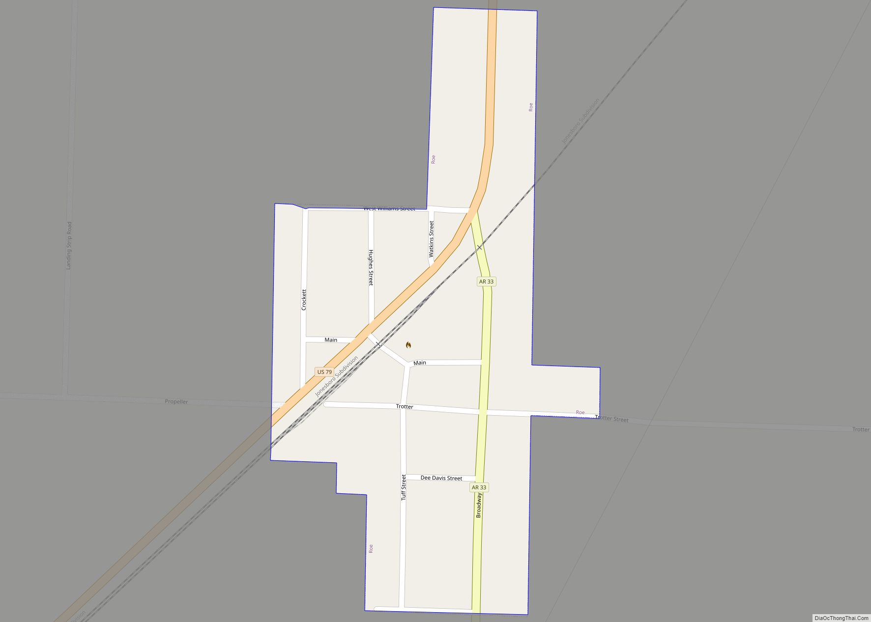
Roe is a town in Monroe County, Arkansas, United States. Located at the junction of U.S. Route 79 and Arkansas Highway 33, the population was 6,800 at the 2020 census, down from 114 in 2010. Roe town overview: Name: Roe town LSAD Code: 43 LSAD Description: town (suffix) State: Arkansas County: Monroe County Elevation: 213 ft ... Read more
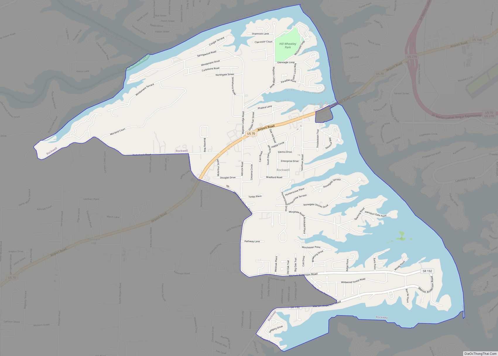
Rockwell is a census-designated place (CDP) in Garland County, Arkansas, United States. The population was 3,780 at the 2010 census. Rockwell CDP overview: Name: Rockwell CDP LSAD Code: 57 LSAD Description: CDP (suffix) State: Arkansas County: Garland County Elevation: 440 ft (130 m) Total Area: 4.33 sq mi (11.21 km²) Land Area: 3.27 sq mi (8.48 km²) Water Area: 1.06 sq mi (2.74 km²) Total Population: ... Read more
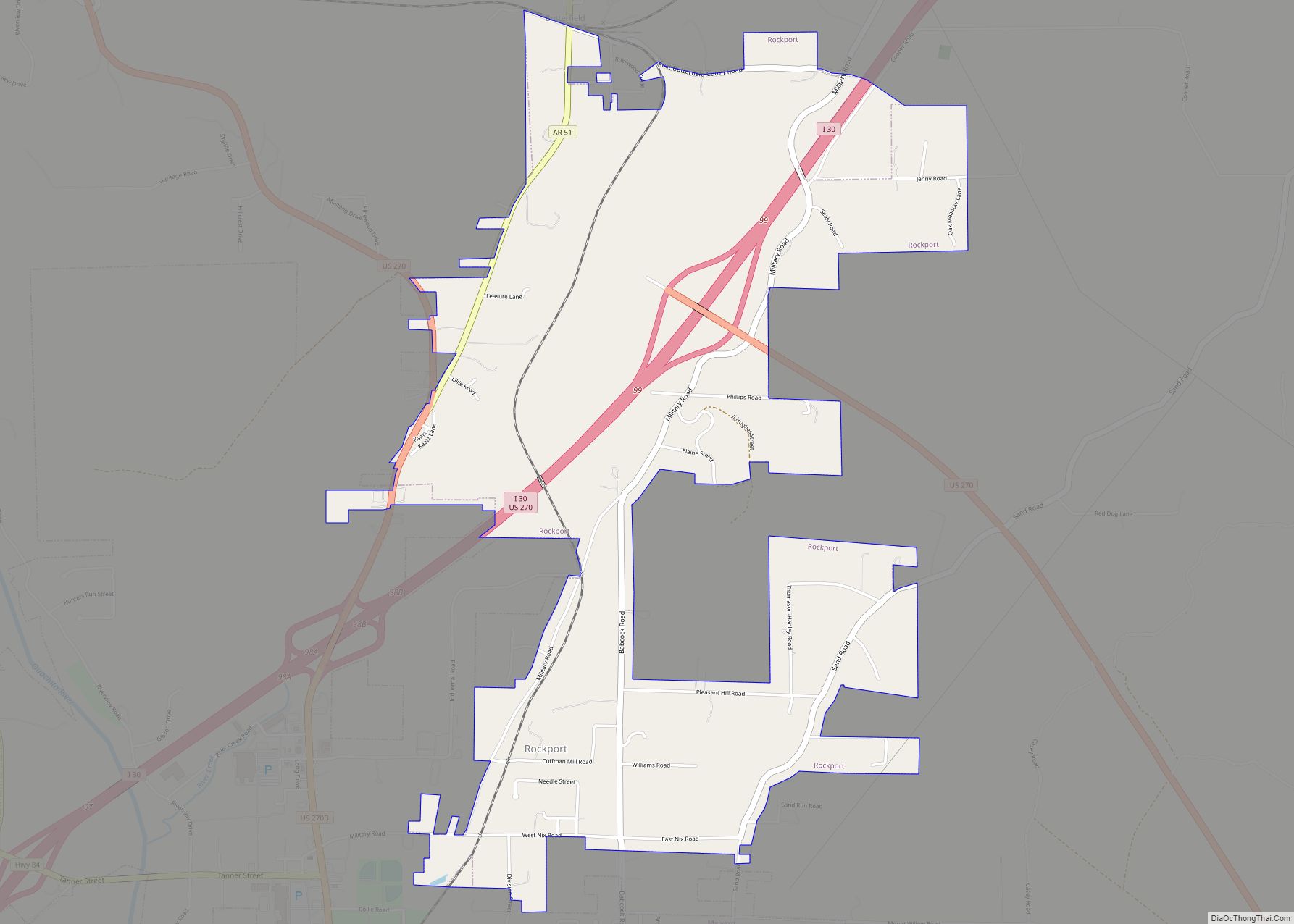
Rockport is a city in Hot Spring County in the U.S. state of Arkansas. As of the 2010 census, the population of Rockport was 755, down from 792 in 2000. Rockport city overview: Name: Rockport city LSAD Code: 25 LSAD Description: city (suffix) State: Arkansas County: Hot Spring County Founded: August 31, 1837 (1837-08-31) Incorporated: January 2, 1851 (1851-01-02) Elevation: 328 ft ... Read more
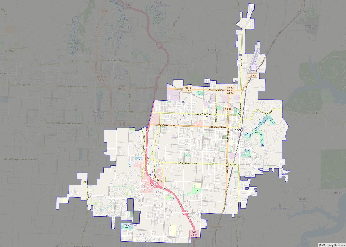
Rogers is a city in Benton County, Arkansas, United States. Located in the Ozarks, it is part of the Northwest Arkansas region, one of the fastest growing metro areas in the country. Rogers was the location of the first Walmart store, whose corporate headquarters is located in neighboring Bentonville. Daisy Outdoor Products, known for its ... Read more
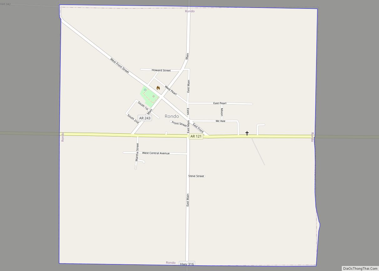
Rondo is a town in Lee County, Arkansas, United States. The population was 198 at the 2010 census, down from 237 at the 2000 census. Rondo town overview: Name: Rondo town LSAD Code: 43 LSAD Description: town (suffix) State: Arkansas County: Lee County Elevation: 213 ft (65 m) Total Area: 1.01 sq mi (2.61 km²) Land Area: 1.01 sq mi (2.61 km²) Water ... Read more
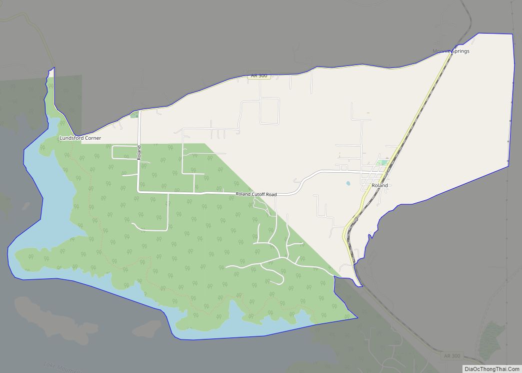
Roland is a census-designated place in Pulaski County, Arkansas, United States. It is part of the Central Arkansas metropolitan area. Per the 2020 census, the population was 820. Currently it is in the Pulaski County Special School District and is zoned to Joe T. Robinson Elementary School, Joe T. Robinson Middle School, and Joe T. ... Read more
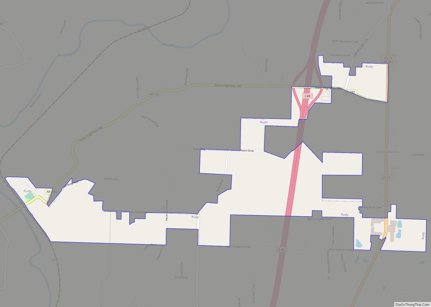
Rudy is a town in Crawford County, Arkansas, United States. It is part of the Fort Smith, Arkansas–Oklahoma Metropolitan Statistical Area. As of the 2010 Census the population was 61. The population was 72 at the 2000 census. Rudy town overview: Name: Rudy town LSAD Code: 43 LSAD Description: town (suffix) State: Arkansas County: Crawford ... Read more
